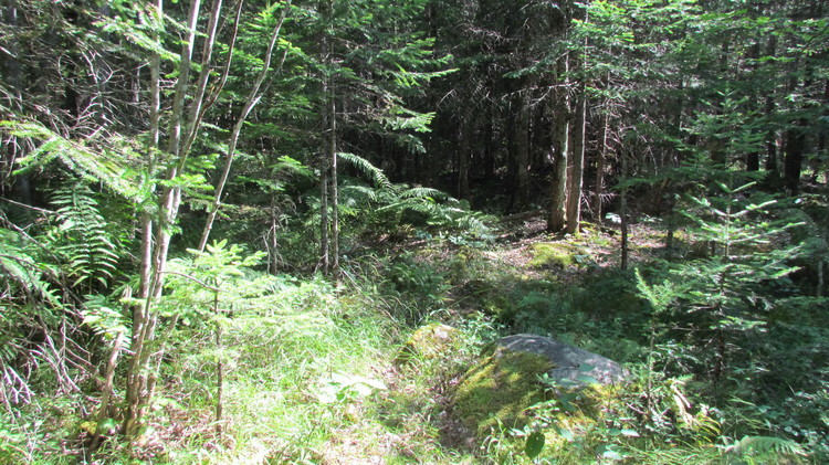
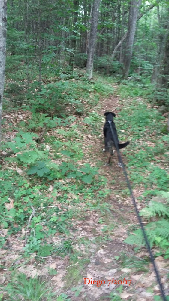
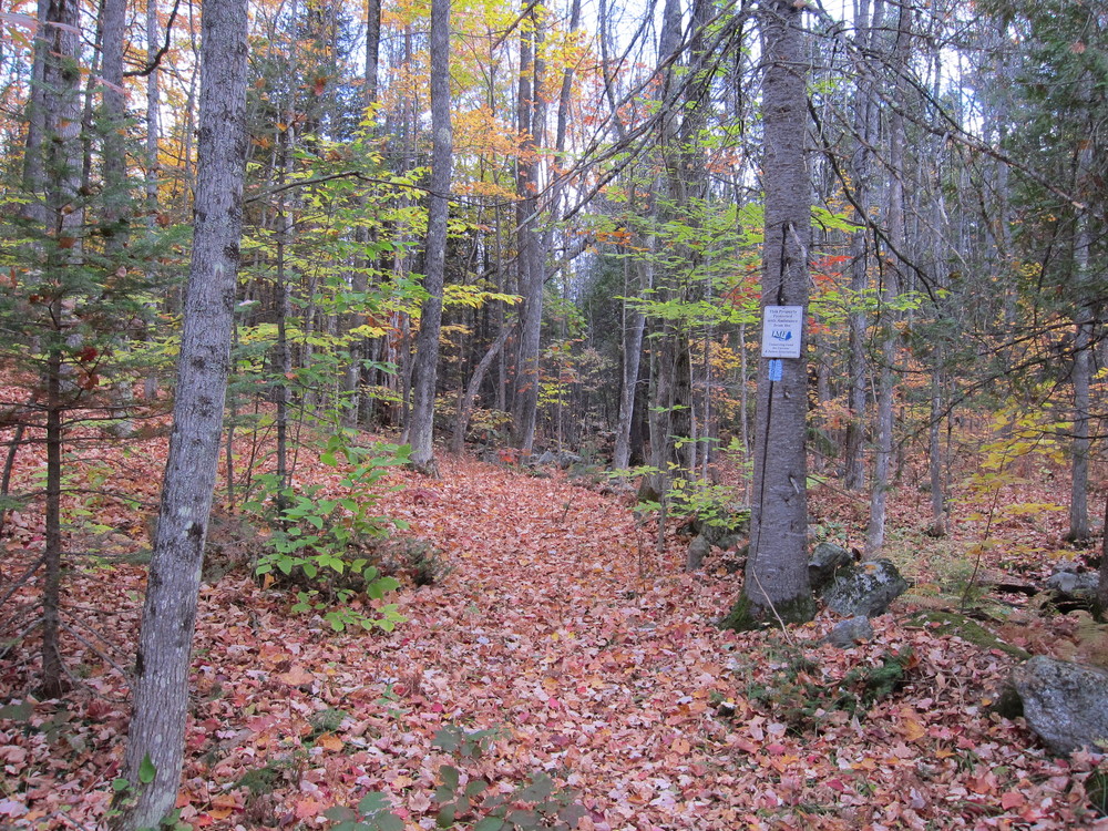
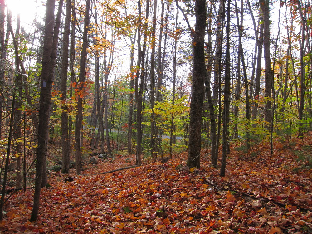
Sturtevant Farm provides a beautiful view of Maine’s Western Mountains and Mount Washington in New Hampshire. Meadowbrook Farm provides wetland habitat and woodland area. The hiking trail allows access to a cedar seepage forest and follows a scenic stream through the two Kennbec Land Trust properties. Visitors will have the opportunity to view animals such as the winter wren, black-capped chickadee, common raven, red-tailed hawk, ruffed grouse, common blue jay, American woodcock, porcupine, and red squirrel, along with the occasional moose, white- tailed deer, and Eastern coyote.

This trail passes through a property that was acquired in part with funds from the Land for Maine’s Future program. For more information about the LMF program and the places it has helped to protect, please visit the LMF webpage.
Visit Kennebec Land Trust online for more information and a printable map, or contact:
Kennebec Land TrustFrom the North: From ME-133 in East Livermore, turn left onto Haines Corner Road. Continue for 1.7 miles on this road until it turns into Bamford Hill Road. Continue straight on Bamford Hill Road for approximately 1.5 miles. The trailhead will be on your left. There is no parking lot, so visitors may park on the shoulder of Bamford Hill Road.
From the South: From ME-41 in Readfield, turn left onto Main Street and continue for 6.1 miles, following Route 17. Turn left onto Sanderson’s Corner Road and follow it for 0.1 miles until it turns into Fayette Corner Road. After 1.4 miles, this road turns into Bamford Hill Road. Continue for 0.3 miles. The trailhead will be on your right. There is no parking lot, so visitors may park on the shoulder of Bamford Hill Road.
Success! A new password has been emailed to you.