Bauneg Beg Mountain Conservation Area

Bauneg Beg Mountain Conservation Area is 89 wooded acres with two miles of peaceful trails, surprising rock formations and a panoramic view from the bald top of Middle Peak.
Trail Activity
Snowshoeing Cross-country-skiing Hiking
Length
2.00 miles, Network
Difficulty
Moderate
Town
North Berwick
Surface
Dirt/Forest Floor, Rock/Ledge
Pets
Permitted
Fees
No

Description

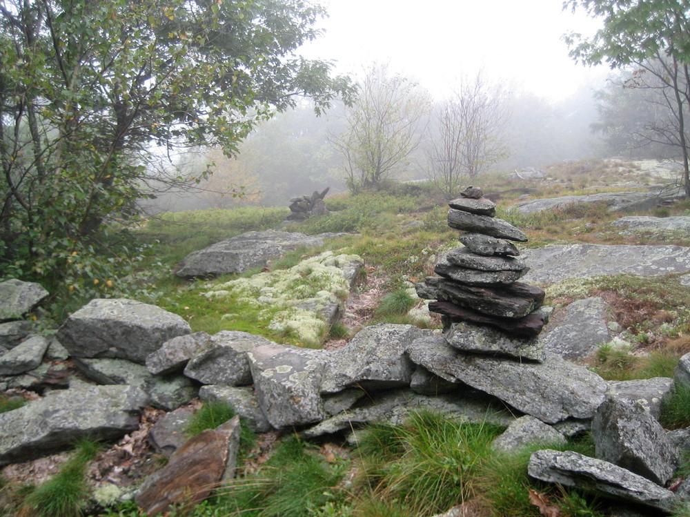
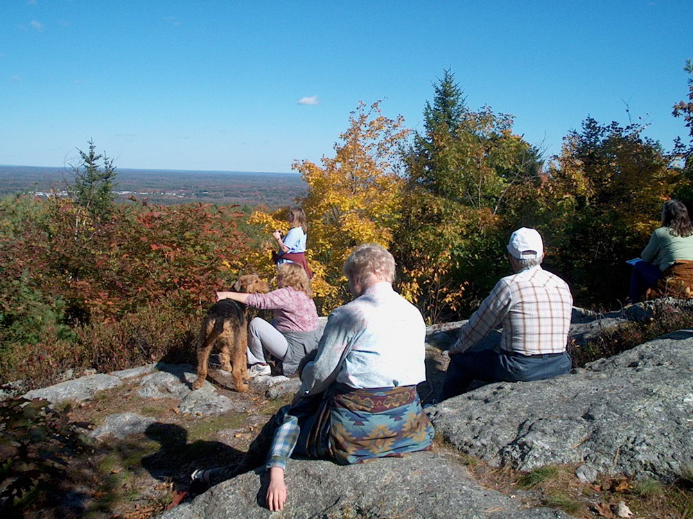
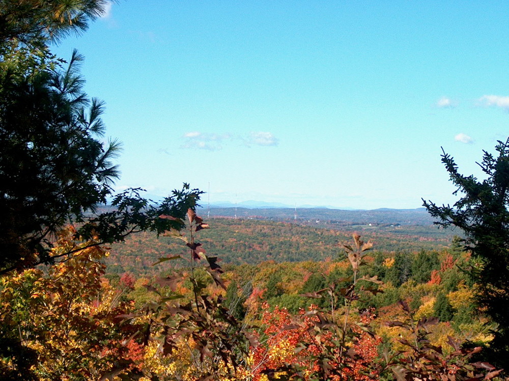
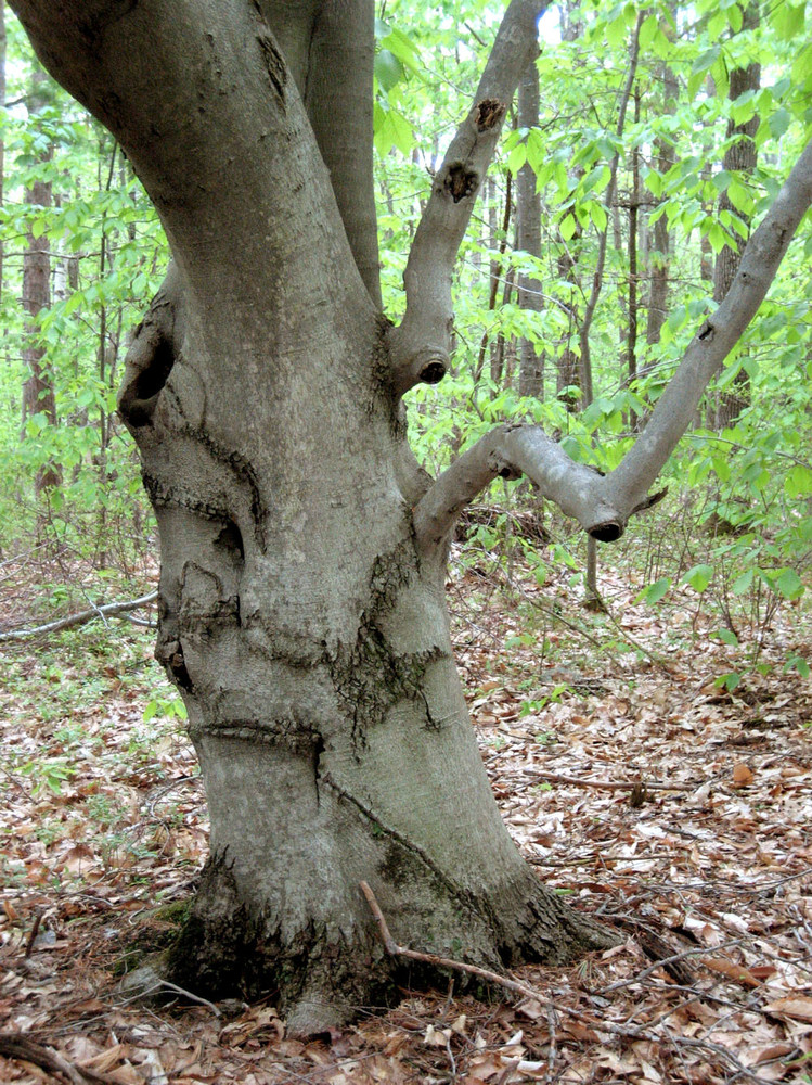
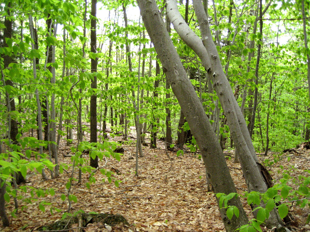
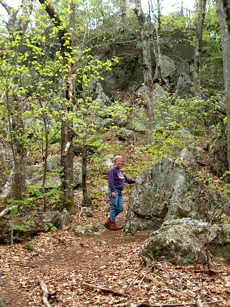
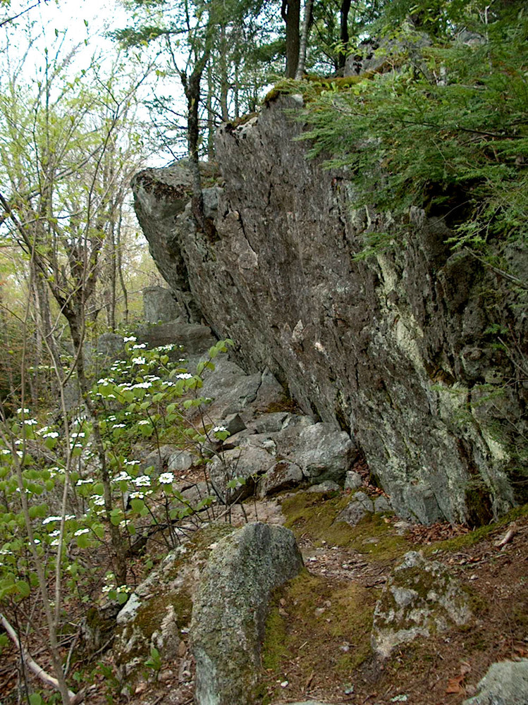
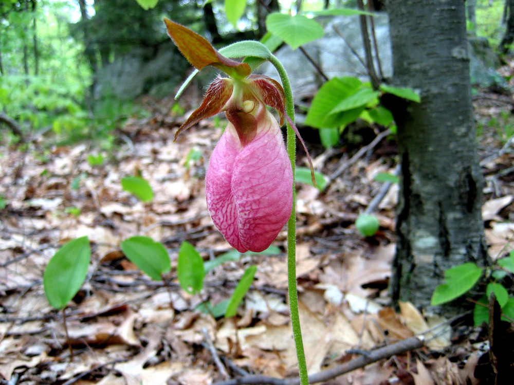
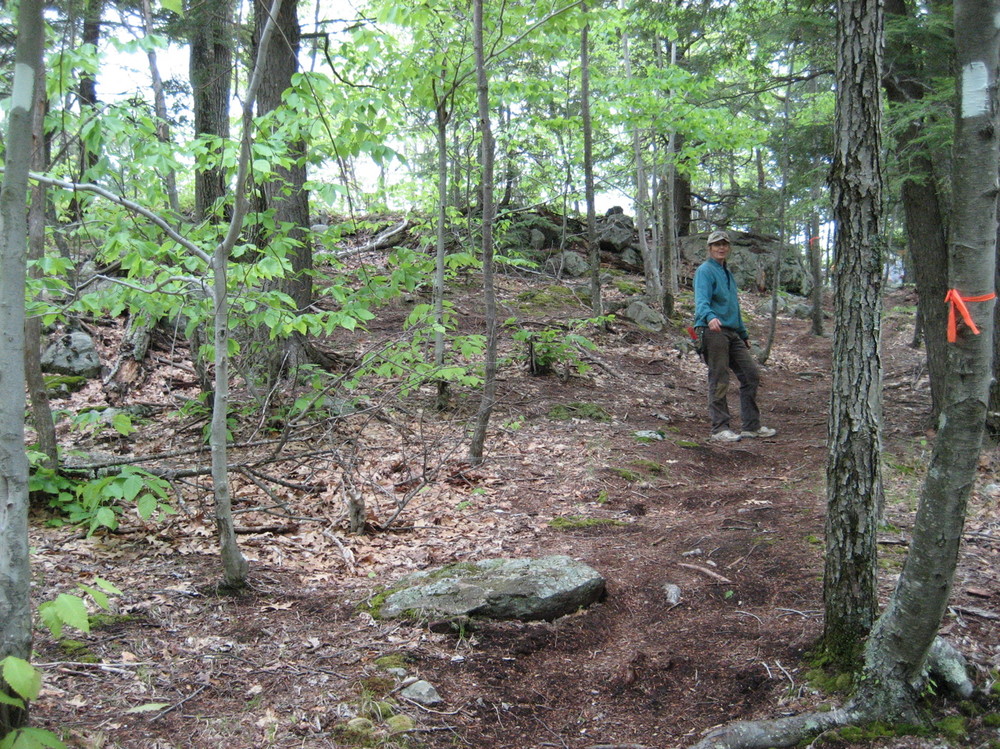
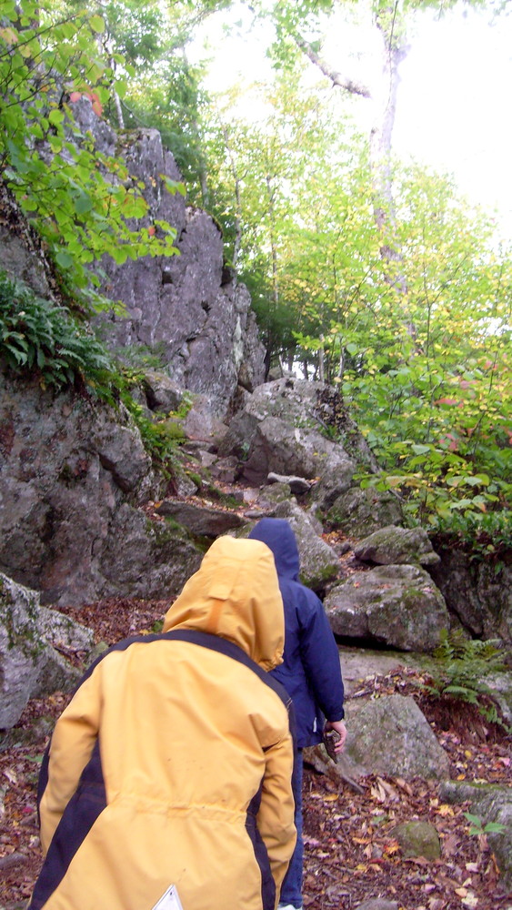
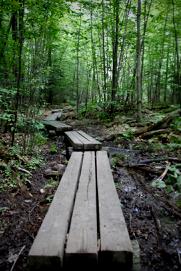
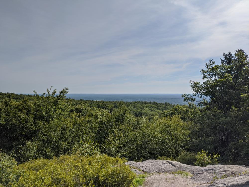
In the northern tip of North Berwick lies Bauneg Beg Mountain Conservation Area, consisting of 89 wooded acres with two miles peaceful trails, surprising rock formations and a panoramic view. A network of trails winds through deciduous forests, beech and pine groves, and through a large boulder section known as Devil’s Den before coming out to Middle Peak and a 180 degree view to the north.

This is an excellent family hiking spot in all seasons. Bauneg Beg Mountain has three peaks, the highest of which is 866’ – higher than Mt. Agamenticus. The hike up is about a half-hour walk, and there is a choice of longer or steeper routes to the top. Another trail links Middle Peak and Bauneg Beg Road. Children six and up love to scramble up the Devil’s Den and climb a “real” mountain.

Other Information

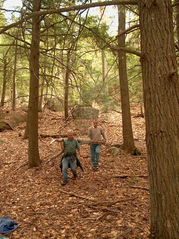
Founded in 1986, Great Works Regional Land Trust is committed to the conservation of the natural, historic, agricultural, forestry, scenic and recreational resources primarily within the towns of North Berwick, South Berwick, Berwick, Eliot, Wells and Ogunquit. Motorized vehicles, overnight camping, and fires are all prohibited on Great Works Regional Land Trust properties.

A first-hand account of the trail was highlighted in The Portland Press Herald in March 2012.

Trail Manager

Visit Great Works Regional Land Trust online for more information or contact:

Great Works Regional Land Trust

Great Works Regional Land Trust
PO Box 151
South Berwick, ME 03908
Phone: (207) 646-3604
info@gwrlt.org
View website

Nearby Events

VIEW EVENTS CALENDAR

Trail Tips

Minimize Campfire Impacts
Consider using a cooking stove and alternative light source (flashlight, candle, lantern) instead of building a campfire.
Legend
Hide All

Trailhead Information

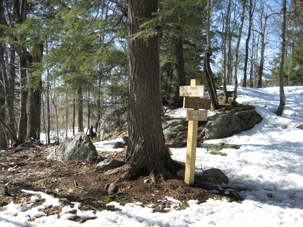
Head north on ME Route 4 out of North Berwick. Go 2.1 miles and turn left onto Boyle Road. Continue straight (turns into Ford Quint Road) for about 5.5 miles and then left on Fox Farm Hill Road. The parking lot and trailhead will be about 0.3 miles on the left.

There is also access on Bauneg Beg Hill Road to Tom's Way trail, but there is no parking. Pull off on the side of the road.

Click on a parking icon to get custom directions
Please Log In or Create Account to add comments.
outtahere
September 17, 2023
Lovely 2-mileish flat/low incline out and back hike with good views. Parking on Bauneg Beg road is limited.
warp nine
June 02, 2016
Great trail, beautiful scenery and views.
These awesome businesses support our goal of connecting people to outdoor adventures in Maine!
Hang Tight!
Nearby services are loading
No Results
No Services Found
SHARE THIS TRAIL

Add Trail Log

Please wait…
Join In on the Fun!
Log in or create an account below to unlock all the great features of Maine trail finder: keep track of trails you want to do, preserve memories of trails you’ve done, earn badges, and more!
Your log in attempt was not successful. Please try again.
    Lost your password? Reset your password
    Don't yet have an account?
    There was an issue with your submission. Please try again.
      * Indicates required field
      Already have an account? Login here
      Enter your username, and we will send you a new, randomly generated password to your email account.
      There was an issue with your submission. Please try again.

        Success! A new password has been emailed to you.

        Log in now

        Please wait…