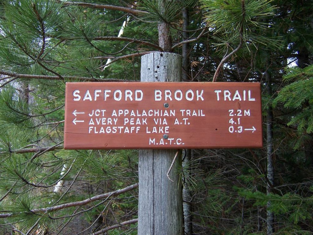
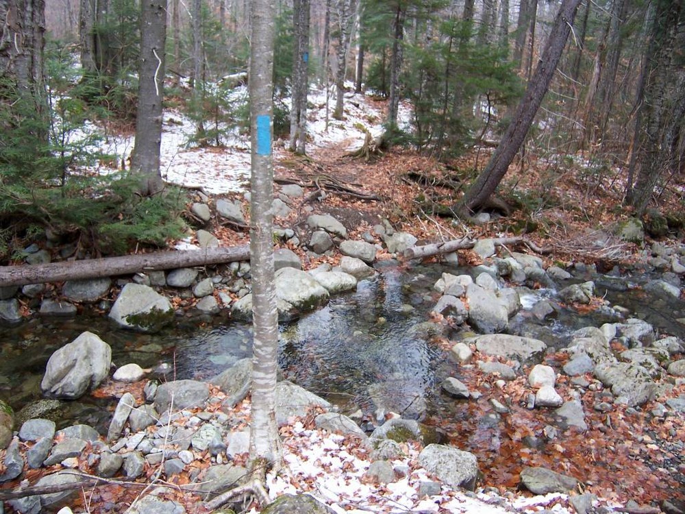
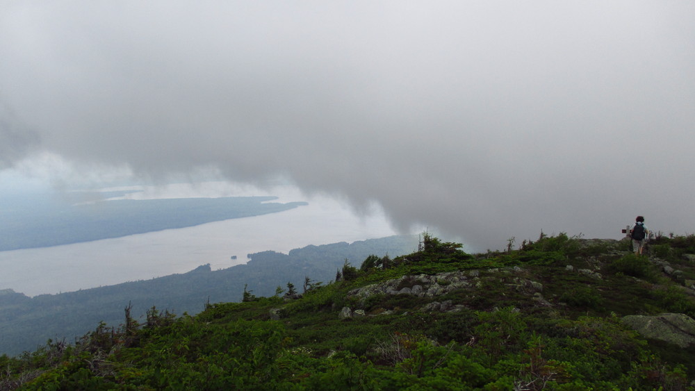
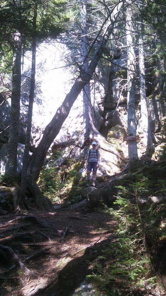
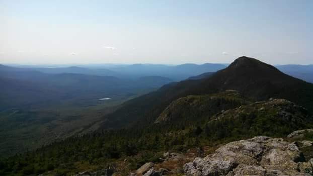
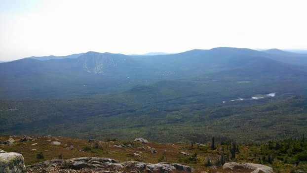
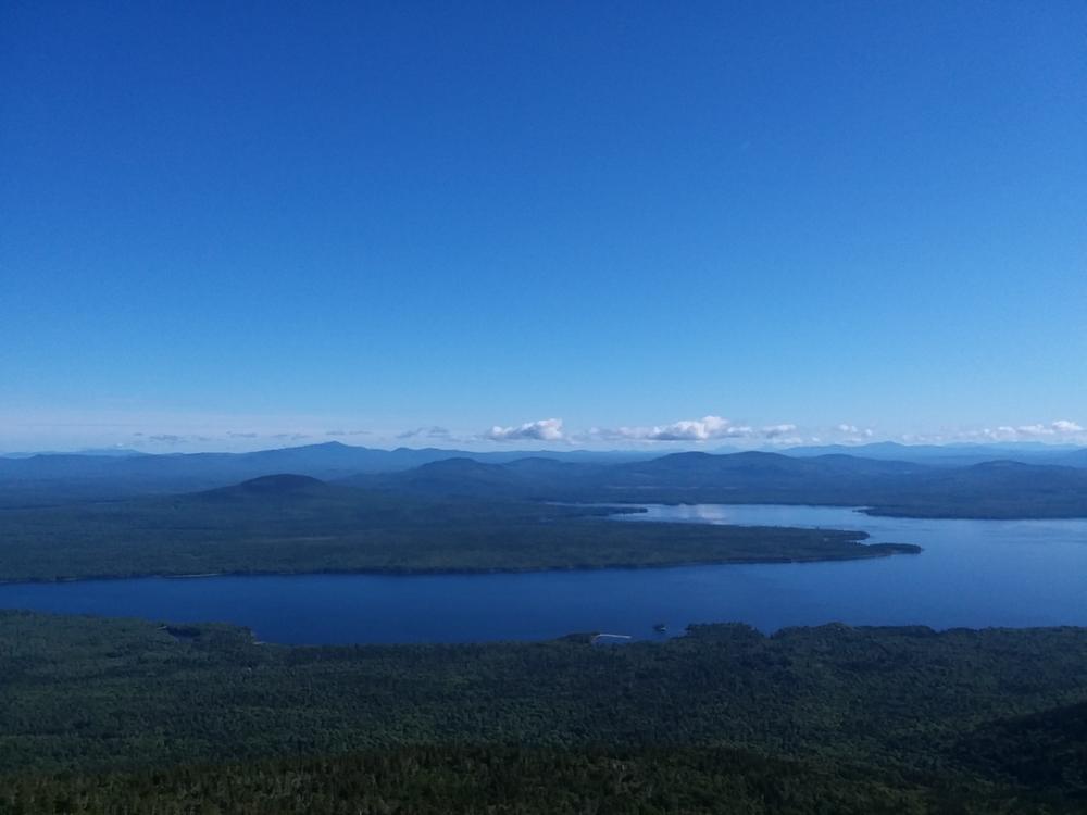
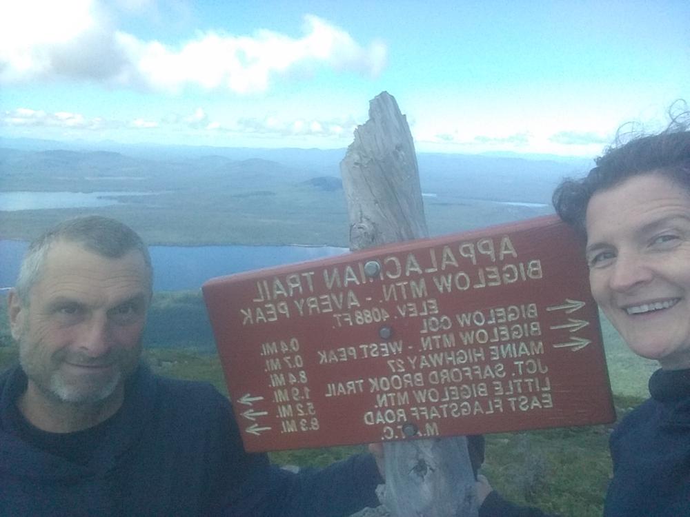
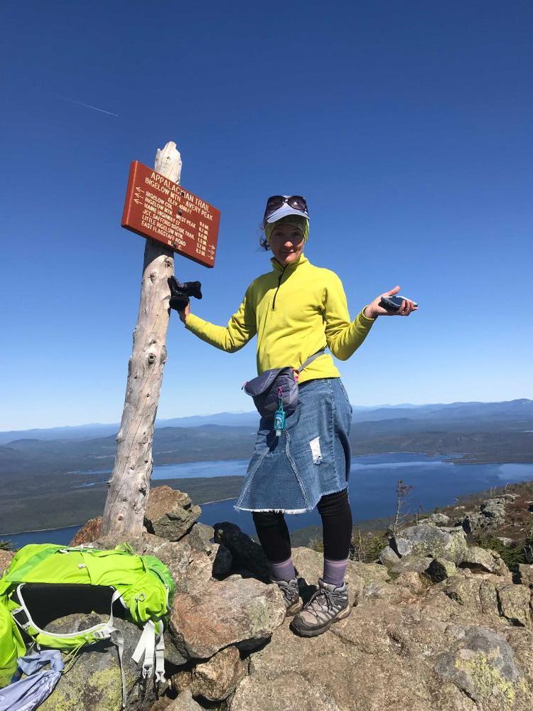
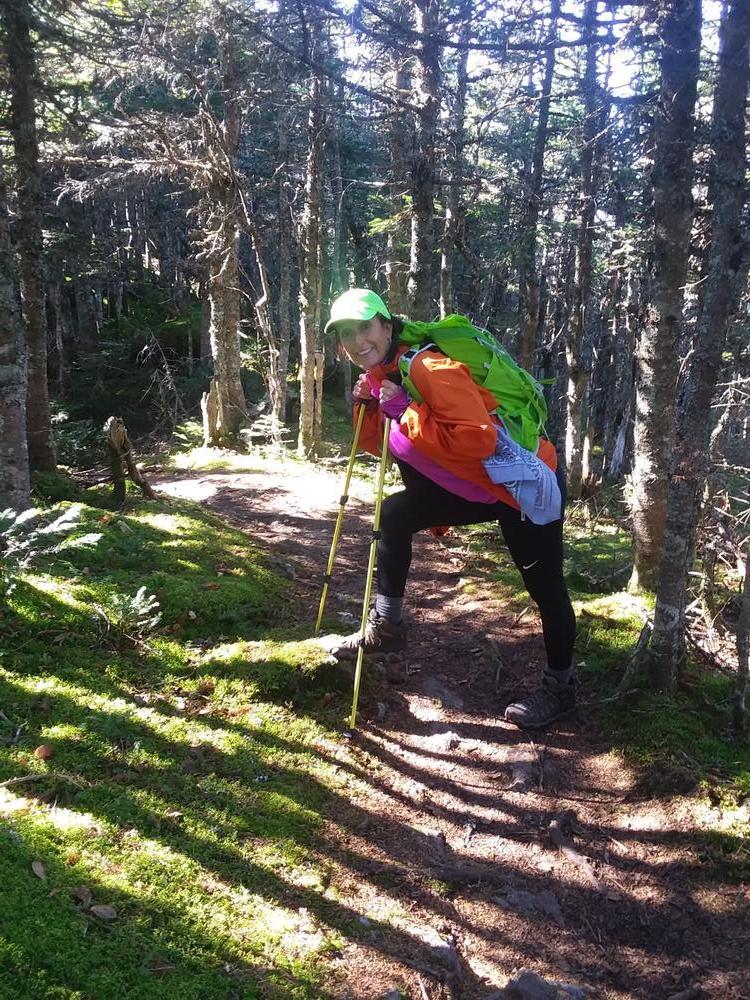
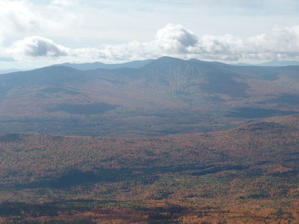
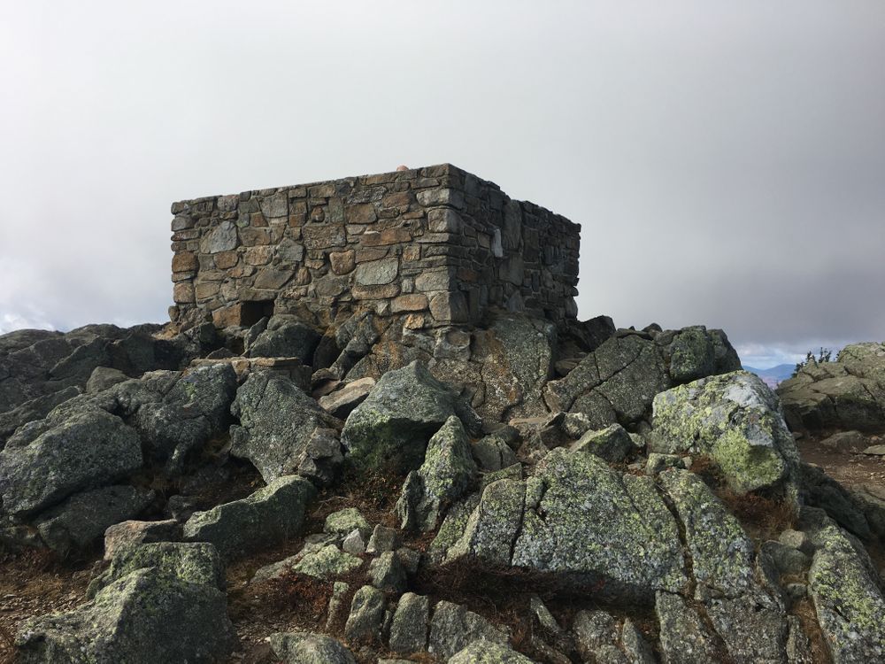
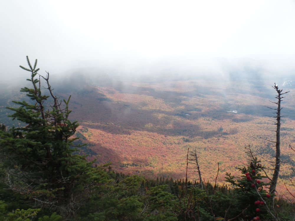
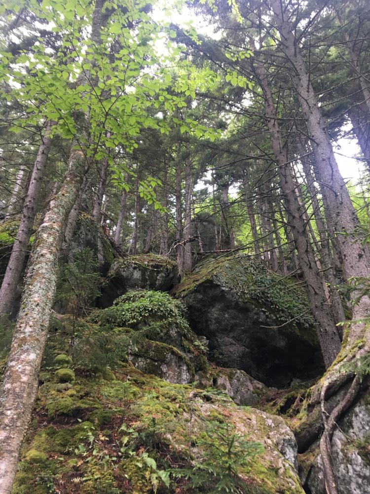
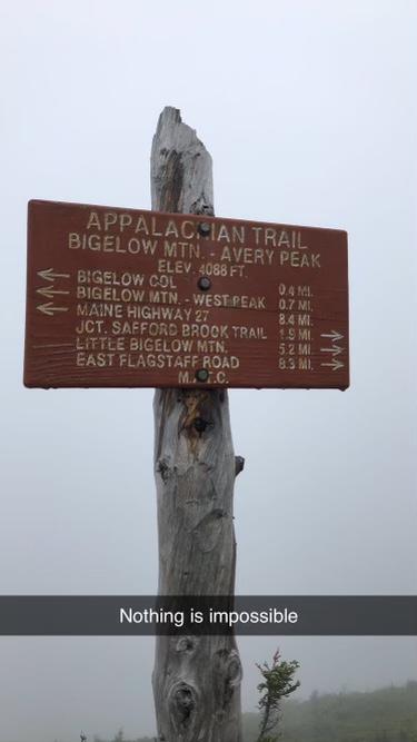
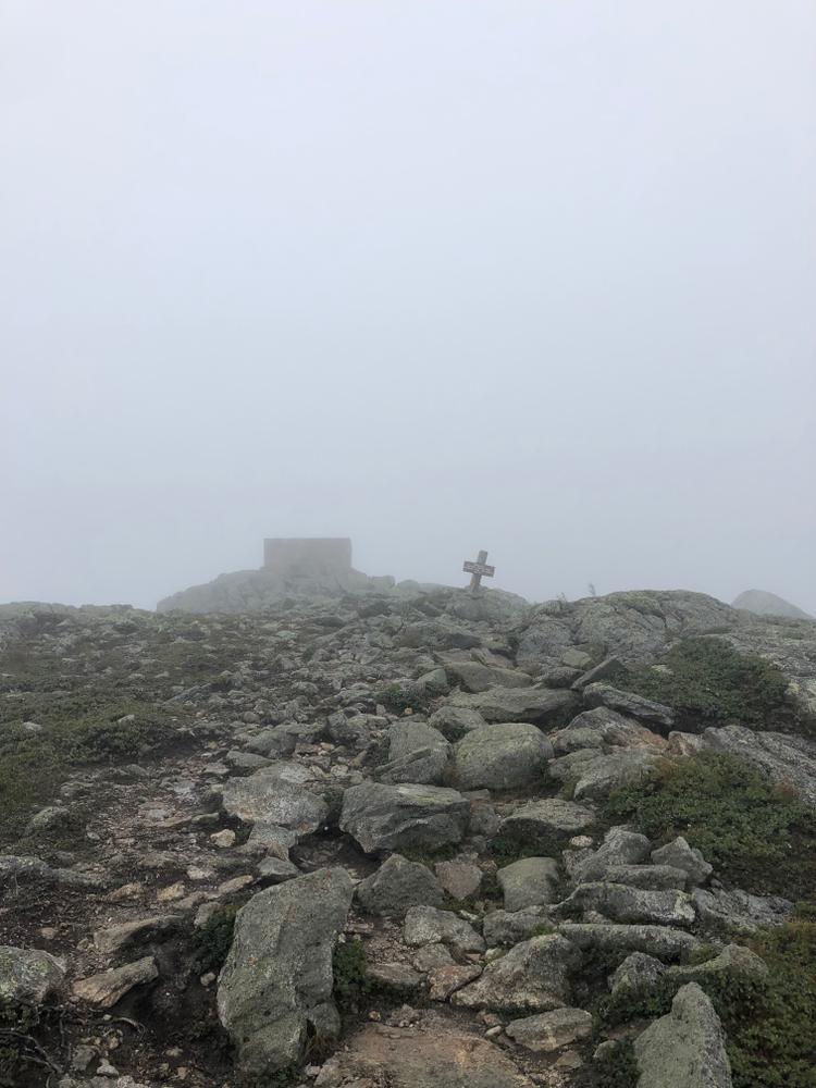
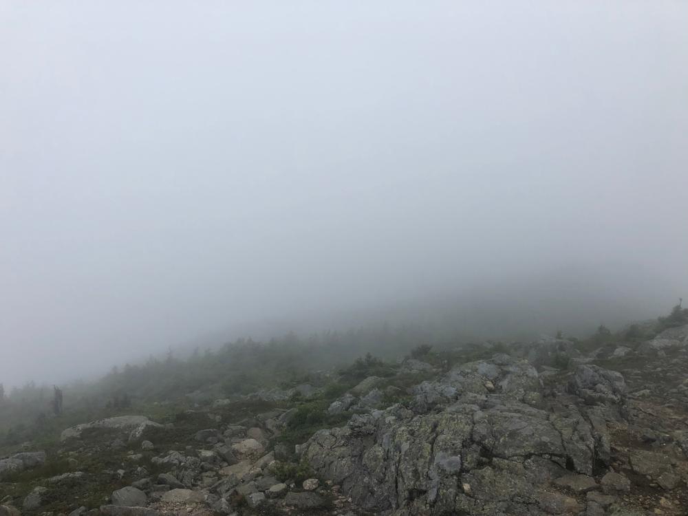
Leaving from the parking area, the trail climbs gradually through forested lands crossing Safford Brook about 0.7 miles above East Flagstaff Road. The trail then becomes more steep until it reaches the junction with the Appalachian Trail. The area right around the intersection is the Safford Notch and it is well known for its "house-sized" boulders. Turning left or north bound will bring you, shortly to the side trail for the Safford Brook Campsite; turning right (or southbound) on the A.T. will begin the climb to Avery Peak. The trail becomes very steep as it climbs up through boulders, and about halfway to the peak, there is a 0.1 mile side trail to the viewpoint for "The Old Man's Head" which offers fantastic views east. From here, there is approximately 0.8 miles of steep climb to Avery Peak (4088'). From the summit hikers have a grand view of the Canadian Border Mountains to the north and the White Mountains of New Hampshire to the southwest, not to mention the views of Flagstaff Lake and the nearby High Peaks. From Avery peak the A.T. continues southbound towards the Fire Warden's Trail, West Peak, and the rest of the Bigelow Range.
The route of the Safford Brook Trail approximately follows the old "Dead River Route" part of the A.T. from the 1930s before the creation of Flagstaff Lake. The views from Myron H. Avery Peak, (formerly East Peak), rank with those from Katahdin and White Cap Mountain due to the extensive, above-treeline, alpine area on Avery Peak.
View BPL's map and guide for the Bigelow Preserve & Flagstaff Lake Public Lands.
The Bigelow Preserve is a public land managed for multiple uses including wildlife and timber management along with its recreational uses. Part of the Bigelow Preserve, mostly the upper elevations, lies within a state Ecological Reserves specifically set aside to protect and monitor natural ecosystems.
Do not underestimate the difficulty of hiking the mountains of Western Maine. Be sure to carry equipment and supplies necessary for this undertaking. If you do not have the information or skills, be sure to research and educate yourself in order to have an enjoyable and safe hike. Be very aware of past, present, and predicted weather. Though the preserve is managed only for summer-time uses, winter uses like cross-country skiing, snowshoeing, and winter camping are allowed and popular.
Fires are only allowed in the provided fireplace ring at the Little Bigelow Lean-to. In the state of Maine, it is illegal to build a fire anywhere except within a certified fire ring. Camp stoves are permitted. Camping is not allowed above the tree line (a very delicate and vulnerable area to hike in), please stay on the trail.
The Maine Appalachian Trail Club (MATC) is an all volunteer organization that exists to maintain and protect the 267-mile section of the Appalachian Trail in Maine extending between Katahdin in Baxter State Park and Grafton Notch at ME Route 26. In addition, MATC maintains over 60 miles of side trails as well as a system of regularly spaced shelters and campsites in order that wild, backcountry hiking remains accessible in Maine. MATC publishes The Official Appalachian Trail Guide to Maine, which includes seven maps, please visit their website for information on how to purchase the guide or to learn more about becoming a member of MATC.
Please contact the Bigelow District Overseer by email (bigelow@matc.org) to report any trail or shelter conditions that may require maintenance or special attention.
Visit Maine Appalachian Trail Club or the Maine Bureau of Parks and Lands online (detailed trail guide) for more information or contact:

![]()
Recognize Working Forests and Waters: Maine’s landscapes are not just for recreation—they’re also active, productive environments that support local livelihoods and communities. Forests may be actively logged; waterways are used for lobstering, clamming, aquaculture, and transport. For everyone’s safety, maintain a safe distance from active logging operations, and do not disturb working docks, fishing equipment, traps or buoys.
To access the north and east side of the Bigelow Preserve is via the paved Long Falls Dam Road. From North New Portland and ME Route 16, turn onto Long Falls Dam Road and follow it 17.4 miles north and then turn northwest (left) onto the gravel Bog Brook Road. At 0.7 miles take the left fork on to the East Flagstaff Road which intersects the A.T. in 0.1 miles. To reach the Safford Brook Trailhead continue about 4.5 miles to where the road opens on the right to a gravel parking area. The trailhead leaves opposite the parking. Continuing past the parking are a little further will bring you to the Round Barn public use area and campsite on the shore of Flagstaff Lake.
Success! A new password has been emailed to you.