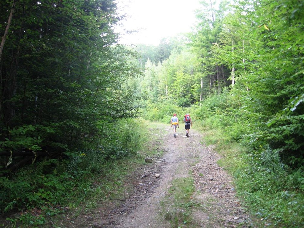
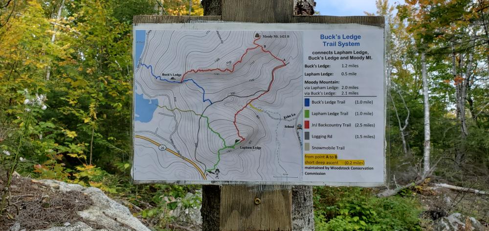
Both the Lapham Ledge Trail and the Buck’s Ledge trail begin on a gravel logging road that also serves a snowmobile trail.
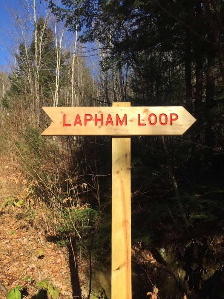
Lapham Ledge Trail
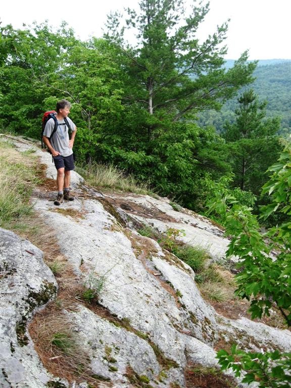
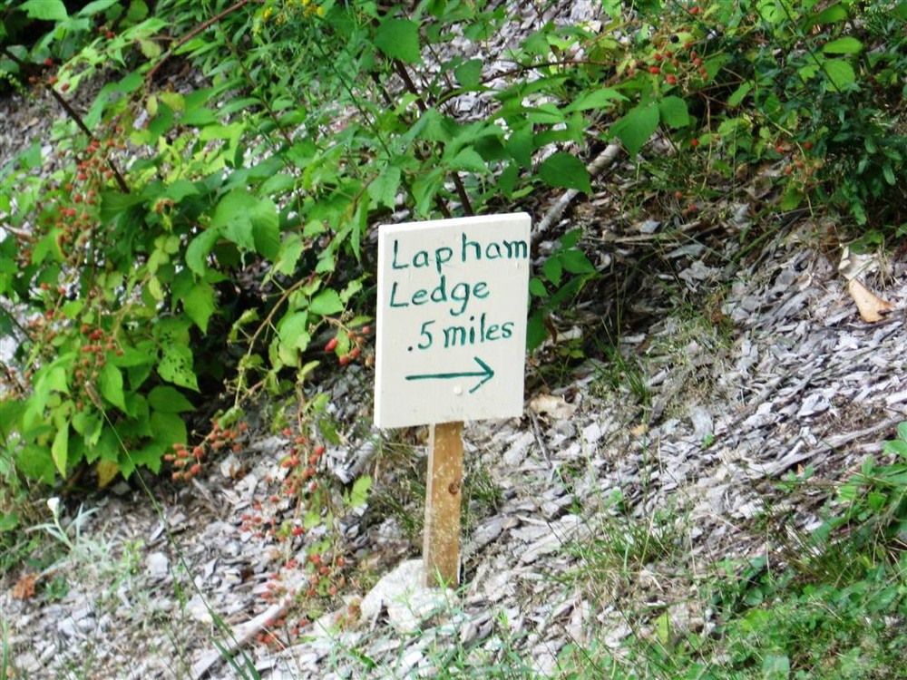
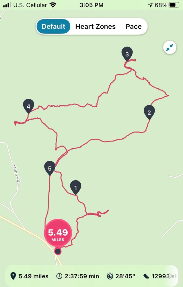
Depart from the gravel road just past the parking lot at the “Lapham Loop” sign directing hikers to the right. After 0.3 miles you’ll arrive at a junction. A spur trail to the right leads to the Ledges where there are views to the south and east. The Lapham Loop continues north at this junction and meets the gravel road after another 0.5 miles. To return to the parking lot, take a left at the gravel road and continue for 0.5 miles. Alternatively, take a right on the gravel road and continue for 0.2 miles to the Buck's Ledge Trail, which leaves the road to the left at a sign.
Buck’s Ledge Trail
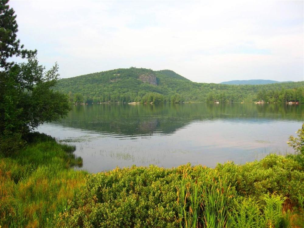
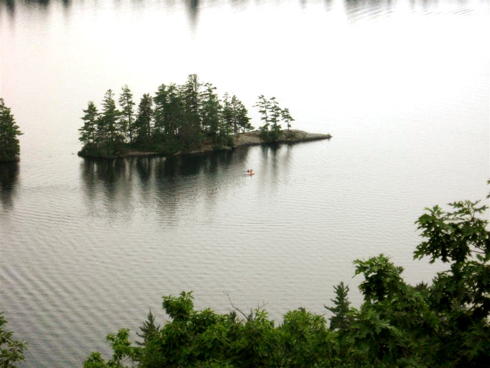
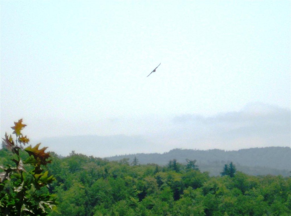
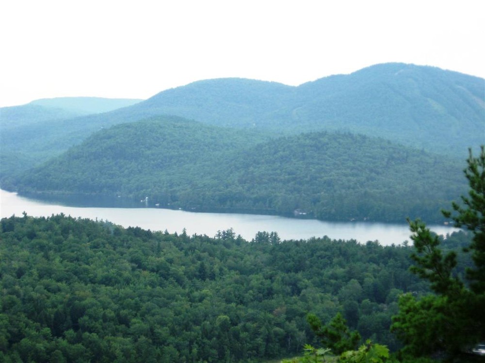
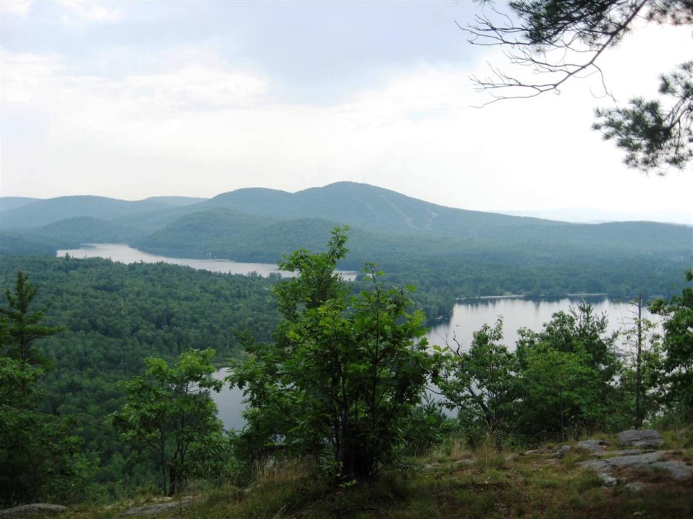
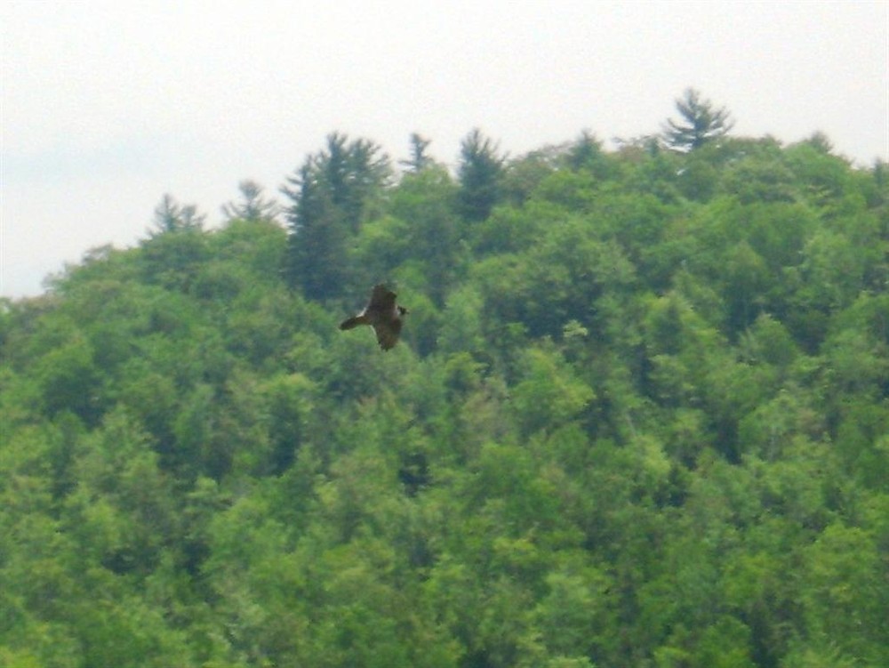
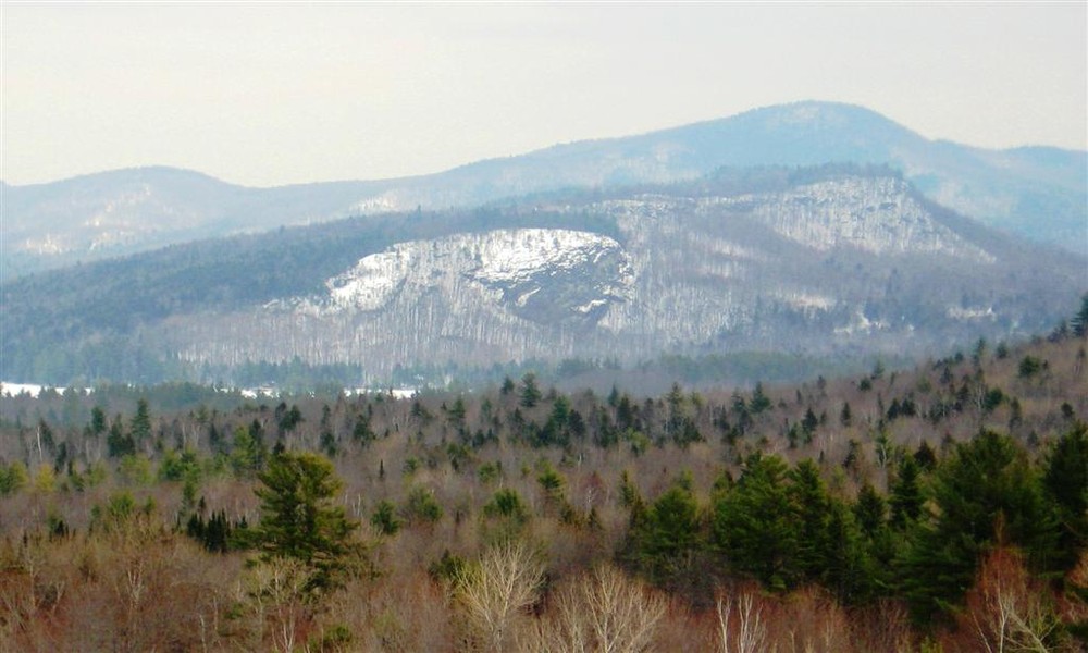
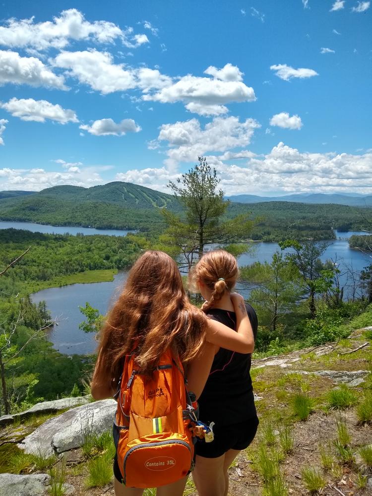
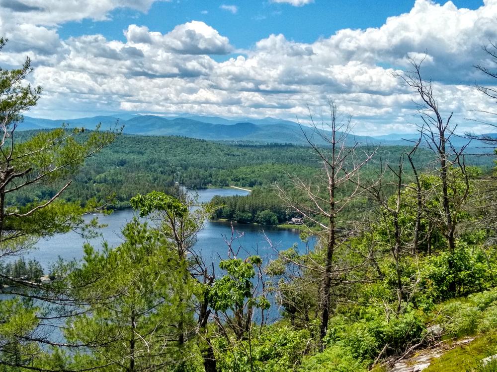
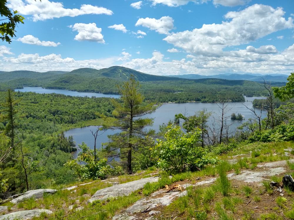
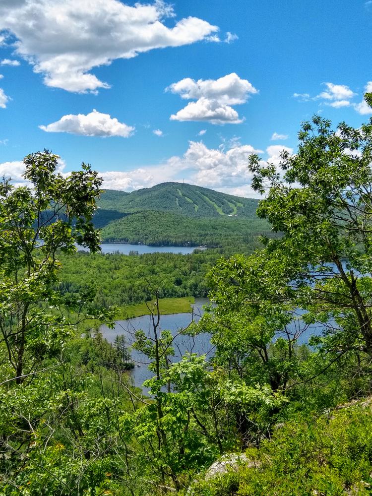
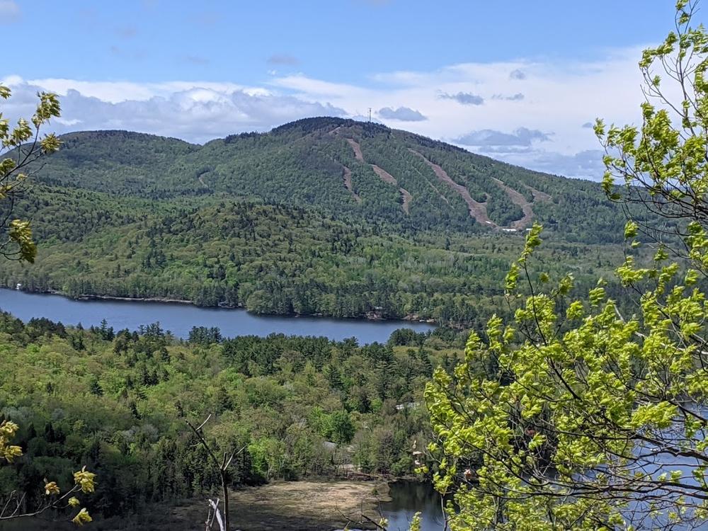
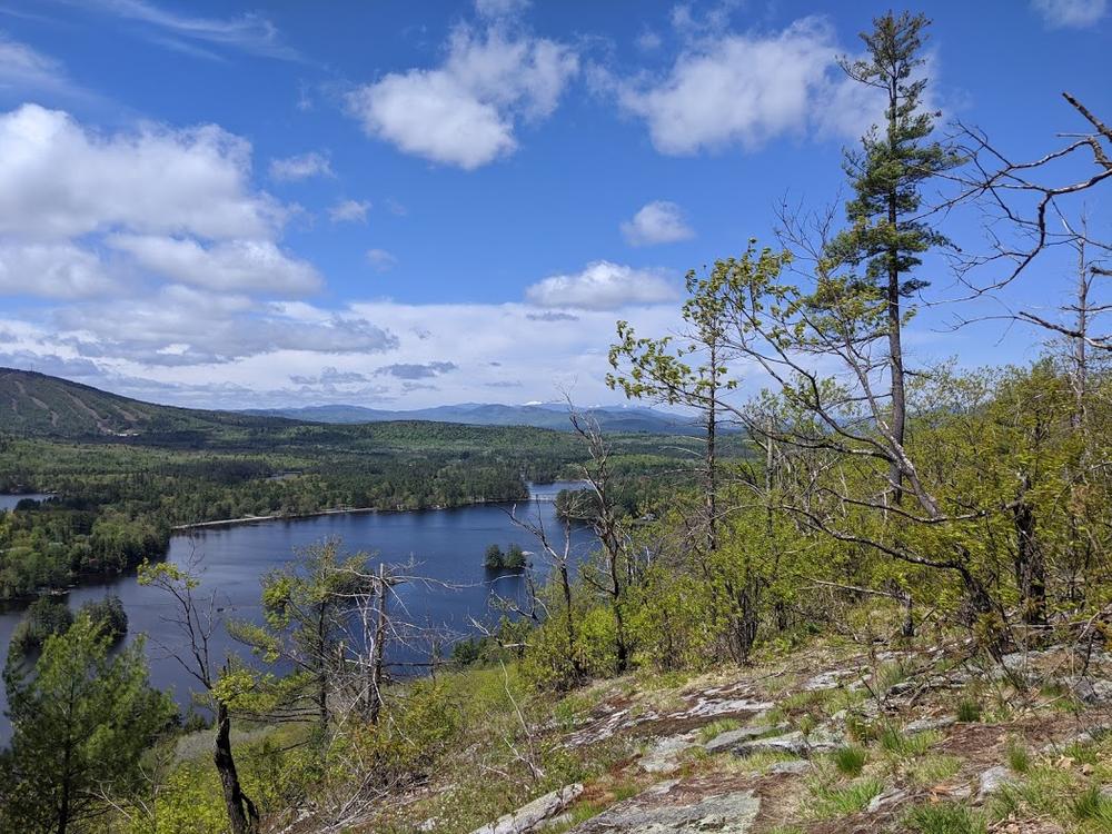
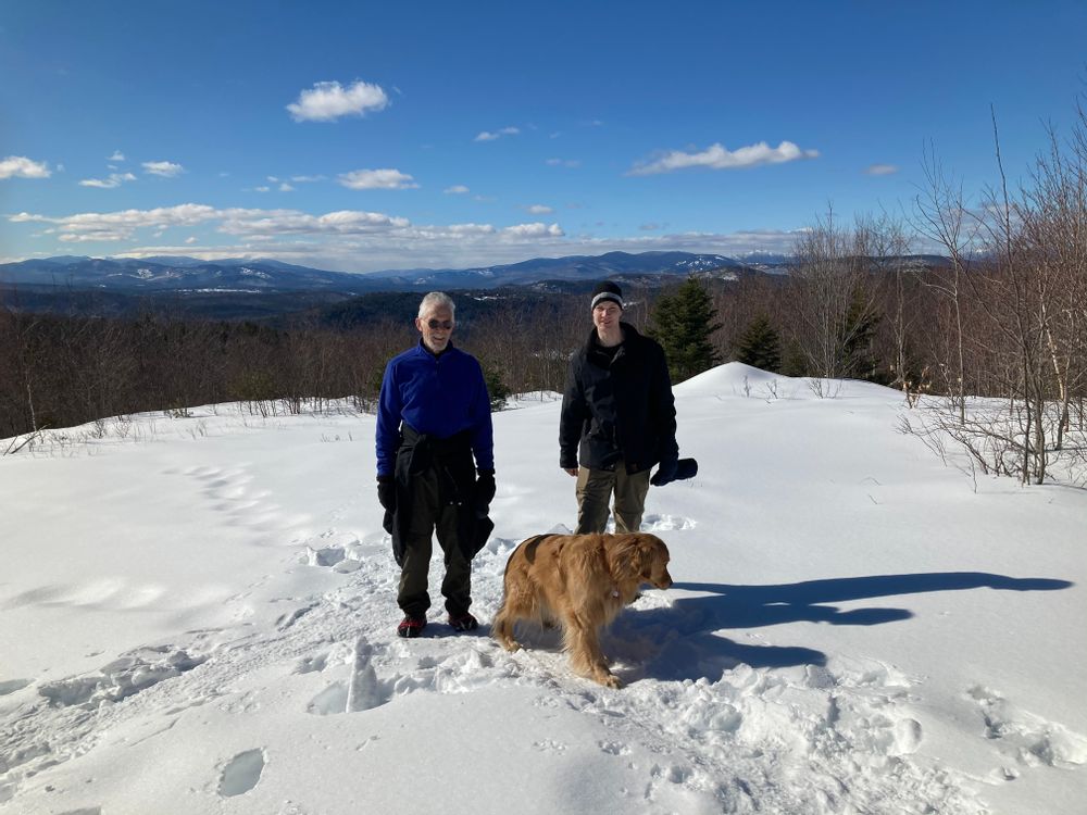
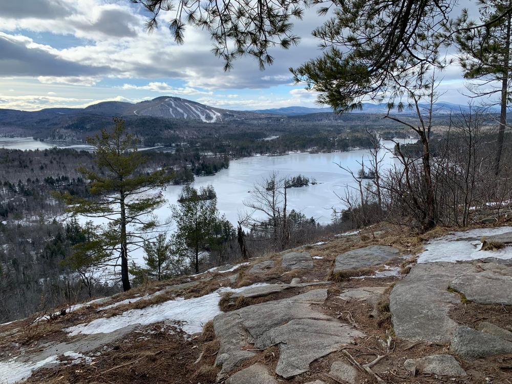
Continue past the Lapham Loop sign and walk straight along the gravel road. At 0.7 miles, at the high point of the saddle between Lapham and Buck's Ledges, the Buck's Ledge trail leaves the road to the left at a sign.The trail continues 0.6 miles to the the top of a long ledge, with views of North and South Ponds, Mount Abram, and the Mahoosuc and White Mountains in the distance. There are peregrine falcons nesting in the ledges below, and they are often seen soaring or perching in a nearby dead tree. From this ledge you can either retrace your steps back to your car, or continue on down the west end of the ledges. The trail down the west end of the ledges is not as well marked, but with attention is easily followed off the ledges and then steeply down to the Mann Road. Follow this road past several camps back to ME Route 26. Turn left on ME-26 and walk 0.25 more miles back to the parking area. From the ledges it is the same distance back to the parking area either way. Doing the trail as a loop has its benefits, but includes road walking. Retracing your steps and taking a side trip up Lapham Ledge is another option.
JnJ Backcountry Trail to Moody Mountain
This 2.5-mile trail connects Bucks Ledge over Moody Mountain to Lapham Ledge. The JnJ Trail Backcountry is a shaded hike under trees with young and older forest growth. The trail travels along side nice ledges with great views and rest stops. For an easier hike, take just the section of the JnJ Trail from Buck's Ledge to Moody Mountain and back; the first mile to Moody is relatively easy with slight up and down elevations. For more of a challenge, complete a loop of all the trails, with a 0.4-mile steep descent down from Moody Mountain, and back to Lapham Ledge. Another recommended route is 0.3 miles on the old logging road, a left onto the JnJ Trail, then a hike of 1.2 miles back to the trailhead via Lapham Ledge (more of a hiking trail) or via the old logging road. All the trails offer nice views of lakes and mountains.
These trails cross privately owned land and is open to the public through the generosity of the landowner. Please respect trail and land to ensure that the trail can remain open for public use; stay on the established trail, carry out all trash, follow instructions on signage, and do not disturb plants or wildlife. Thank you for doing your part to keep this land available for public use.
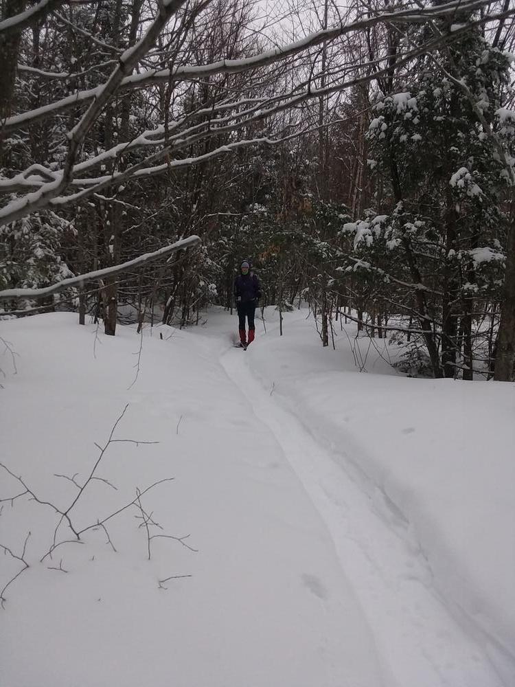
A harvesting operation has required a couple of reroutings of the Bucks Ledge Trail, but it is well-marked with flagging tape and signs. These trails are often snowshoed in winter. Bear in mind that part of the logging road is also a snowmobile trail.
The trail is maintained by members of the Woodstock Conservation Commission. For more information contact:

Going south on ME-26 from the Bethel area, from the intersection of Howe Hill Road in Lockes Mills, continue for 2.1 miles to a turn out on the left at the top of a rise. Park on the side of the road between the house and the gravel road.
Going north on ME-26, go 1.4 miles past the very sharp corner in Bryant Pond (where Summit Street comes in from the left). You will pass the popular roadside spring and at the top of a rise pull into a turn out on the right with a house next to the road and a gravel road. Please park close to the gravel road without blocking it.
Success! A new password has been emailed to you.