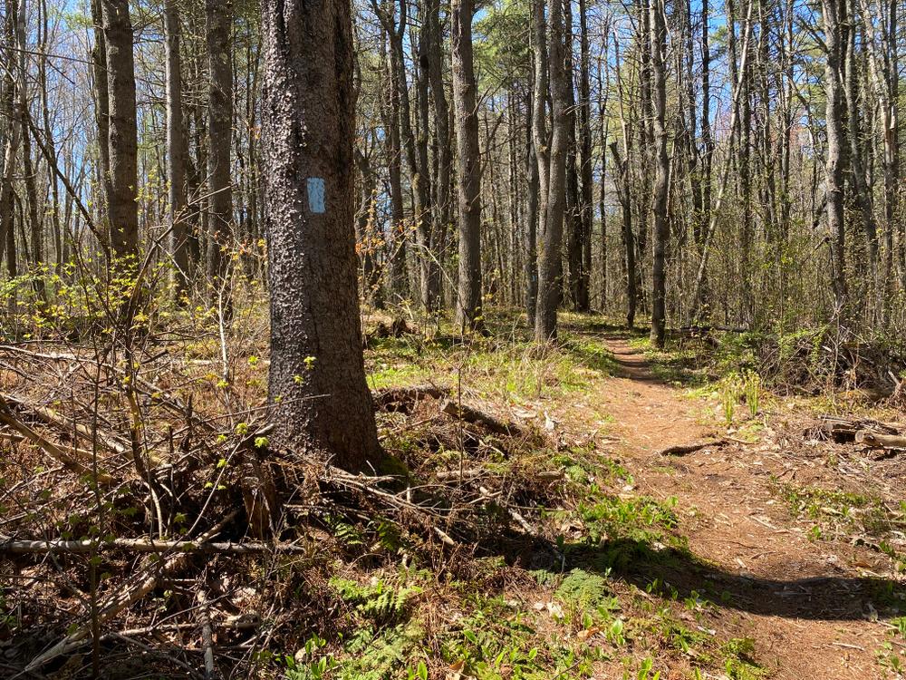
This Kennebec Land Trust property is open year around for hiking, bird watching, snowshoeing, cross-country skiing and other low-impact recreational activities. The four trails highlight different features and highlights of this lands geological and agricultural past.
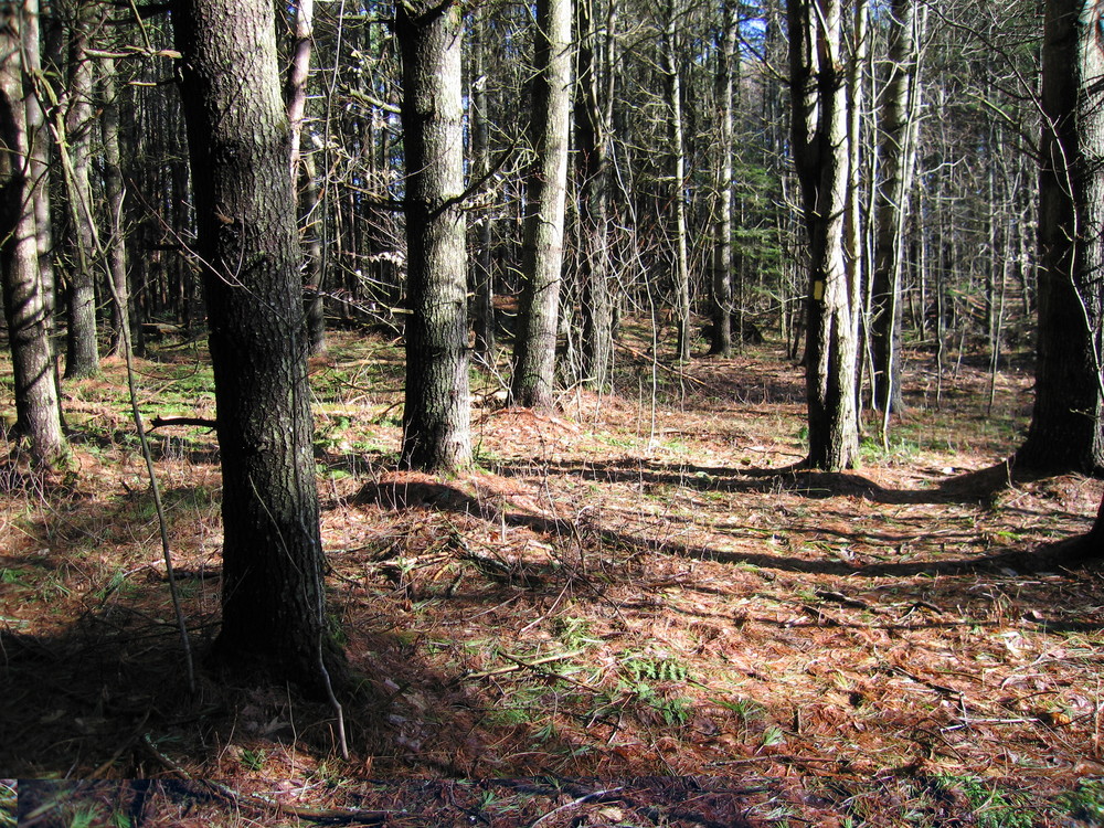
Lower Fields Loop Trail (easy, 1.0 mile loop): This trail loops around the former lower field, with short side trail to a bench at the edge of the bog. For a short distance, this trail follows the small brook that the Curtis family used for water for their cattle. The first part of the trail, with relatively even topography and glacial outwash soils, was in cultivation and hayfields as late as 1950, when Ken and Rebecca Curtis’s parents, Harriet and Archie Curtis, were still farming. The red oak tree to the right of the barn in the farm photograph is now surrounded by forest. Until 2000, the Curtis family farm and barn were located where today’s parking lot and kiosk are. The white pine trees that you see as you begin this trail are part of the “botanical imprint” that marks the time when the Curtis fields were abandoned and the land became forested once again. White pine trees grow well in sunny areas where there were once hayfields or cultivated lands. It almost looks as if these trees were planted, but actually the seeds blew in from pine trees bordering the cultivated fields!
Upper Fields Loop Trail (easy, 0.5 mile loop): This trail creates a loop with the Curtis Rock Trail. At the first stone wall, the trail loops back around to the field. Just 60 years ago, in 1940, the land on either side of this trail was not forested, but was in fields for hay or cultivated crops.
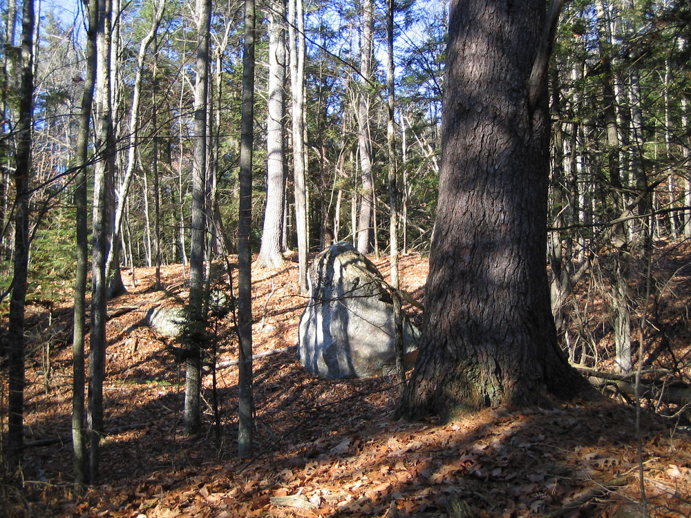
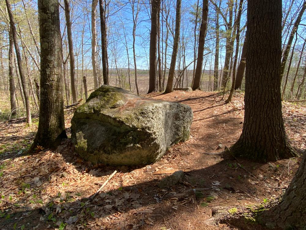
Curtis Rock Trail (easy-moderate, 1.4 miles round trip): This trail starts north of the open fields and follows the wooded road that Archie Curtis used when he hauled out trees with his workhorse. This portion of the farm, with its varied topography, wetlands and large boulders was used for orchards, pasture land and woodlots. Looking east from Curtis Rock, you can see Bog Brook, the “oak island” and the surrounding peatland. The peat is of variable thickness and beneath it is a thick layer of glacial marine mud. This marine mud was deposited approximately 13,000 years ago, after the last glacier melted, when shallow ocean waters covered this area! The “oak island”, part of The Curtis Homestead Conservation Area, is an upland area with impressive red oaks and large white pines. The oak island is accessible in the fall when the water is low, and in the winter when the ground is frozen.
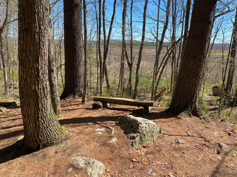
Woodlot Trail (moderate, 0.7 miles): This trail passes through a mixed hardwood forest that was managed as the farm woodlot. The trail begins at Curtis Rock (a glacial erratic) and follows the eastern edge of the bog, providing several wonderful views with benches before looping back to an intersection with the Curtis Rock Trail.
This Kennebec Land Trust property is open year around for hiking, bird watching, snowshoeing, cross-country skiing and other low-impact recreational activities.
Visit the Kennebec Land Trust online for more information and a printable map or contact:

From 202/ME Route 100 to Monmouth. From US Route 202/ME Route 100, take the Bog Road west. The Kennebec Land Trust (KLT) parking area is about 1.5 miles on the right.
From Leeds, take ME Route 106 south, and turn left, crossing the railroad tracks, to follow Bog Road. The parking area and kiosk will be in about 0.3 miles on the left.
Success! A new password has been emailed to you.