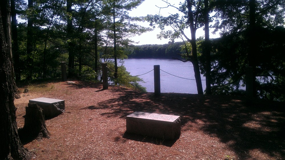
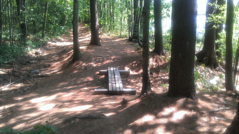
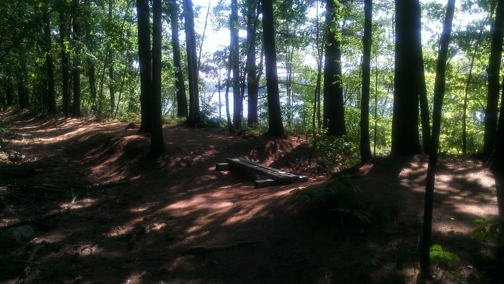
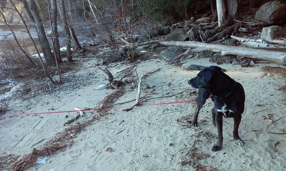
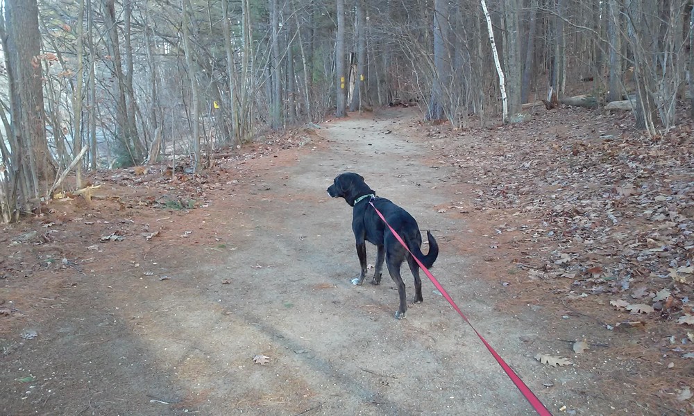
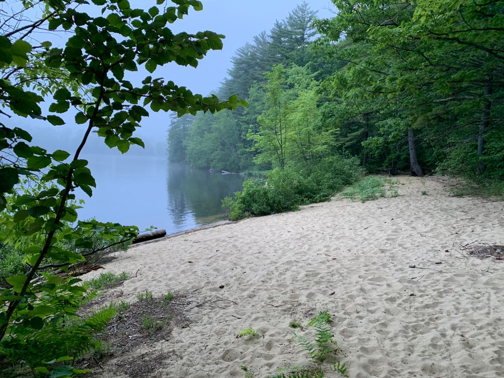
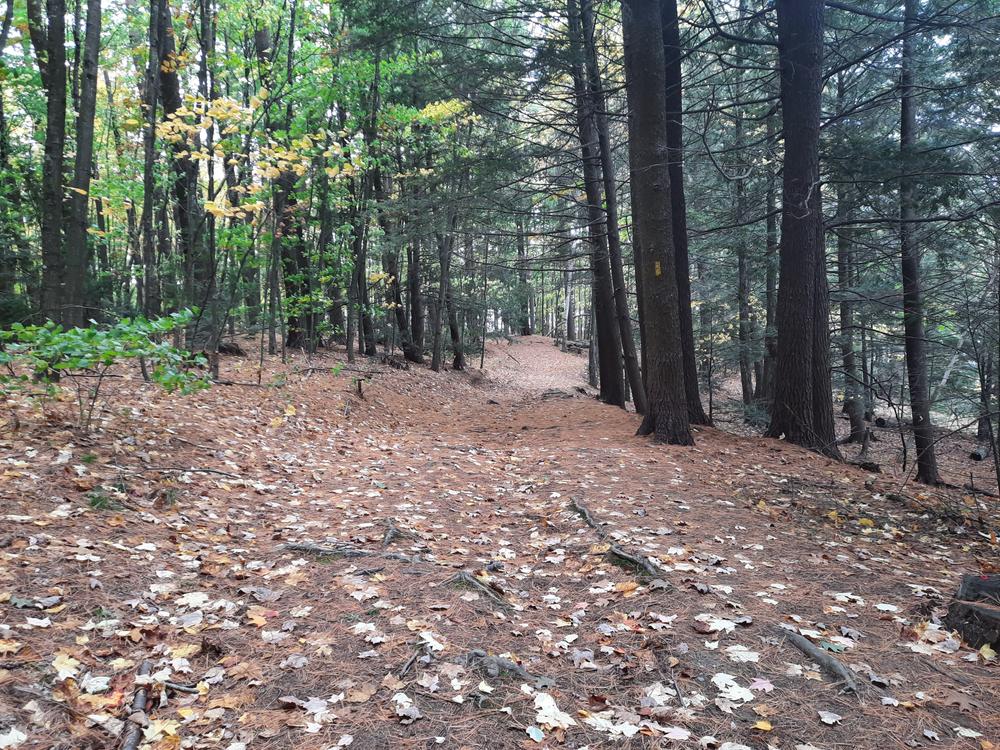
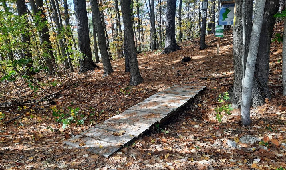
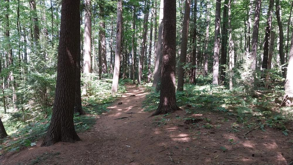
The trail is well marked entering first a small forested area then quickly emerging onto a sandy beach. The trail then splits in two directions, one follows the shoreline and the other enters into the mixed hardwood forest. Along the trail are two sandy beaches and scenic overlook atop a high point on the river's edge. [Note: the underlying Google Maps trail data shown on this map is not correct.]
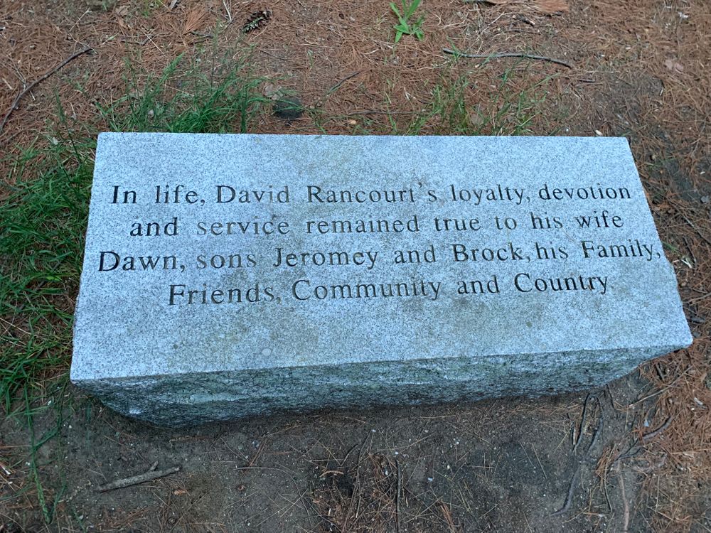
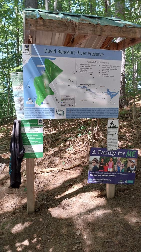
This 14-acre preserve is owned by the Androscoggin Land Trust and is a component of the Androscoggin Greenway. The property was purchased from the City of Lewiston with Land for Maine's Future water access funds in 2007. In 2008 the property was dedicated in the name of Deputy Sheriff David Rancourt who tragically lost his life in the line of duty in the Androscoggin River.
Read about MTF Accessibility Ambassador Enock Glidden's visit to the preserve using his wheelchair at MTF Stories.

This trail passes through a property that was acquired in part with funds from the Land for Maine’s Future program. For more information about the LMF program and the places it has helped to protect, please visit the LMF webpage.
Visit LA Trails, a program of the Androscoggin Land Trust, online for more information or contact:

From Main Street/ME Route 11/US Route 202 in Lewiston turn onto Northwood Road. Follow Northwood Road for 0.2 miles then turn left onto Tall Pines Drive. After 0.2 miles, a trailhead with kiosk will be visible on the right. Parking is along the side of the road. Another trailhead is just north of the one with the kiosk.
Success! A new password has been emailed to you.
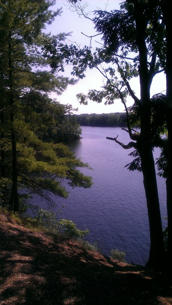
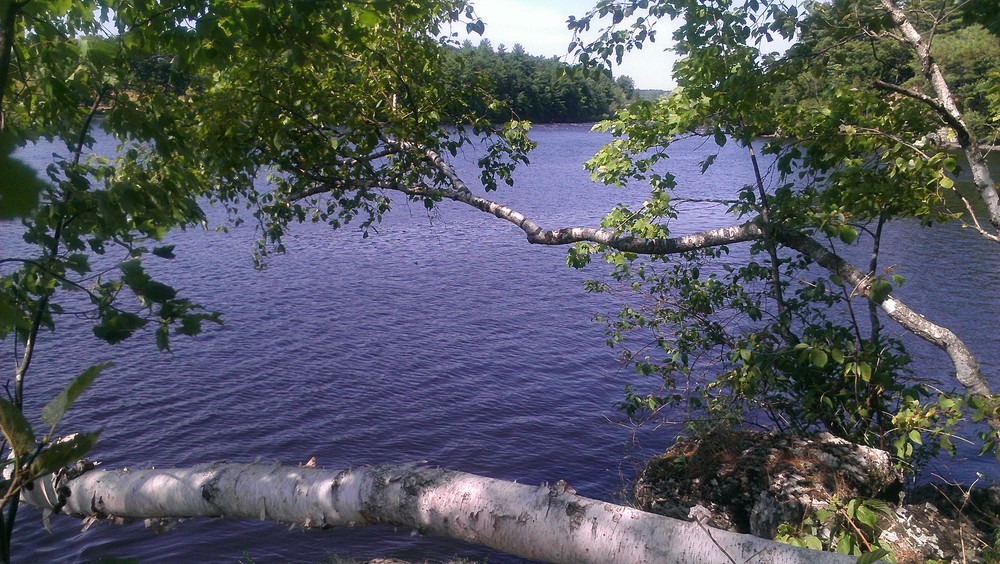
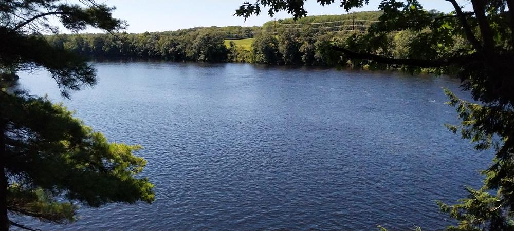
Beautiful views of the Androscoggin River … lots of small critters and i saw a duck.