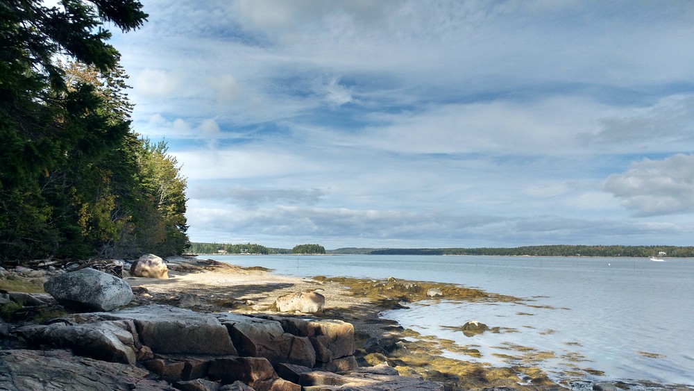
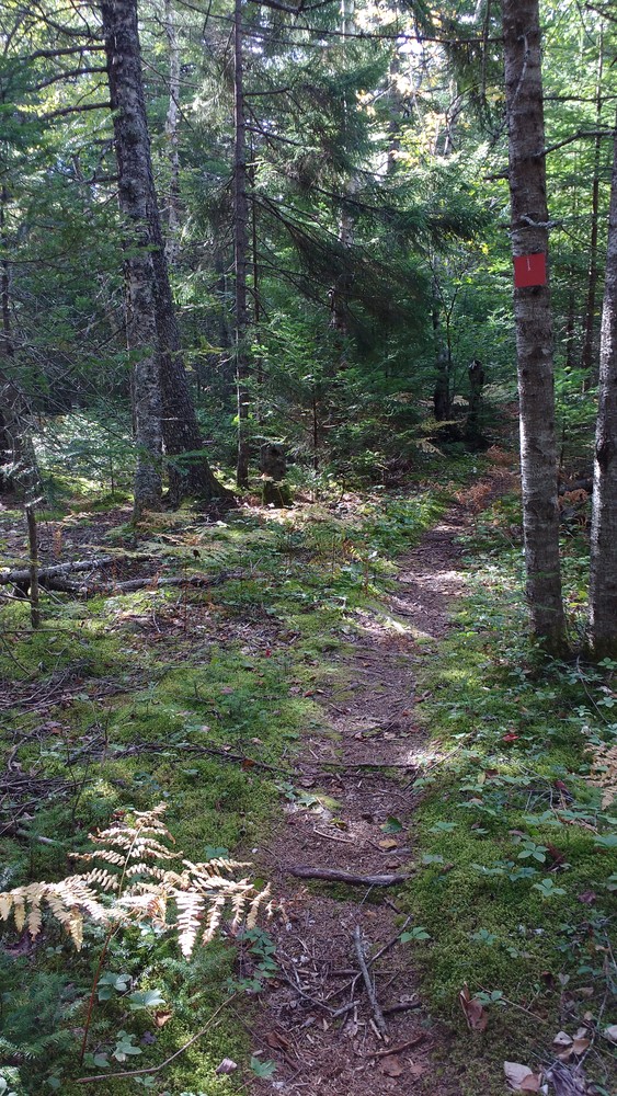
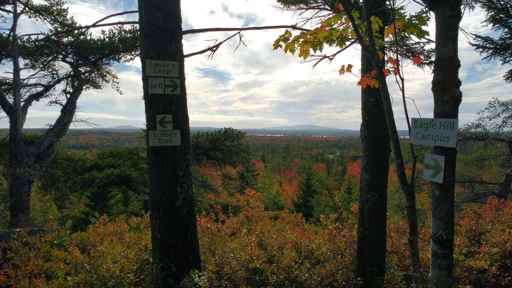
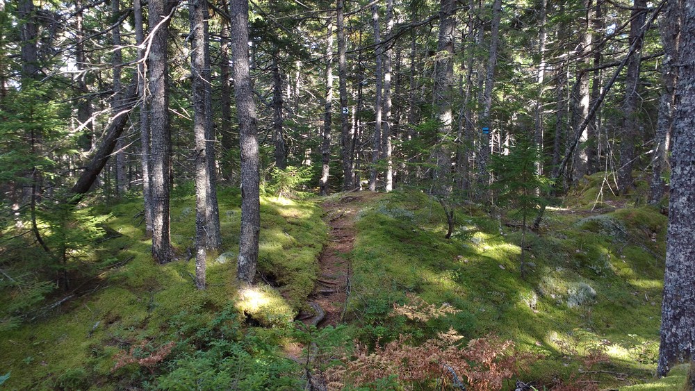
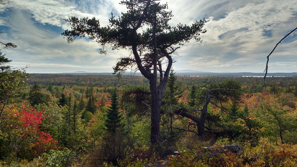
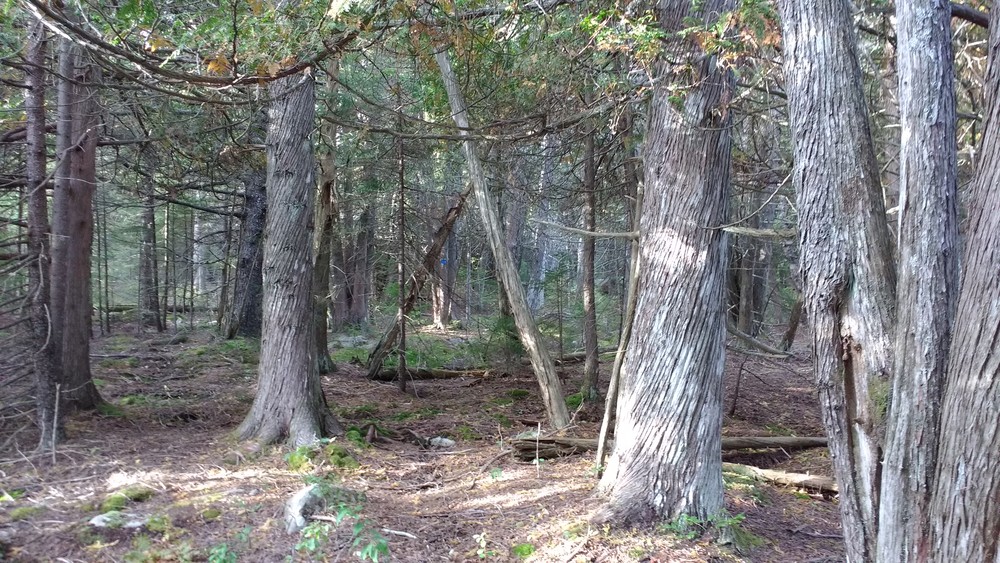
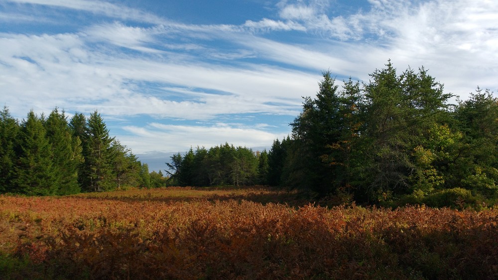
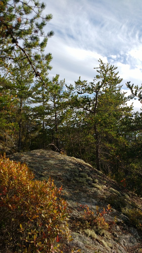
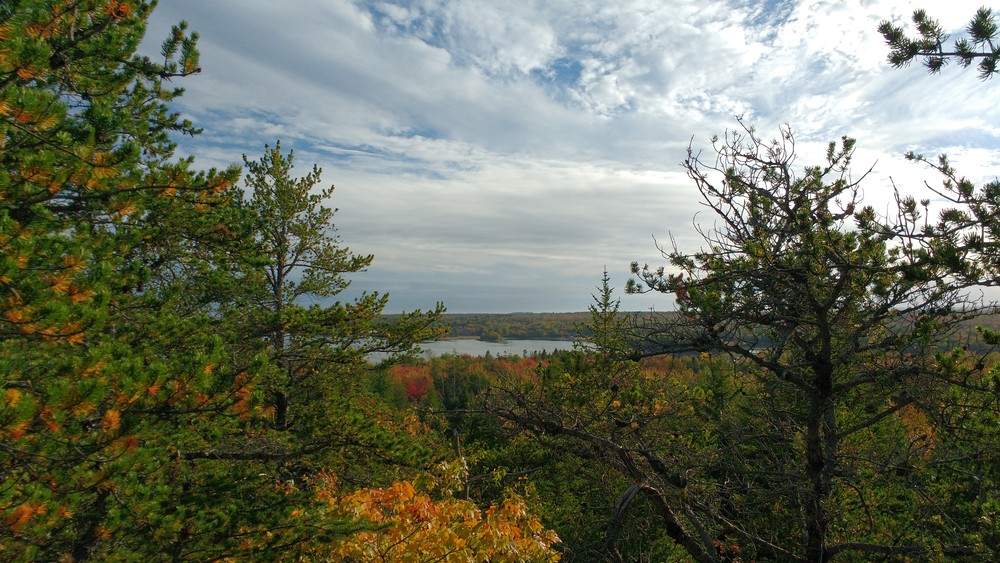
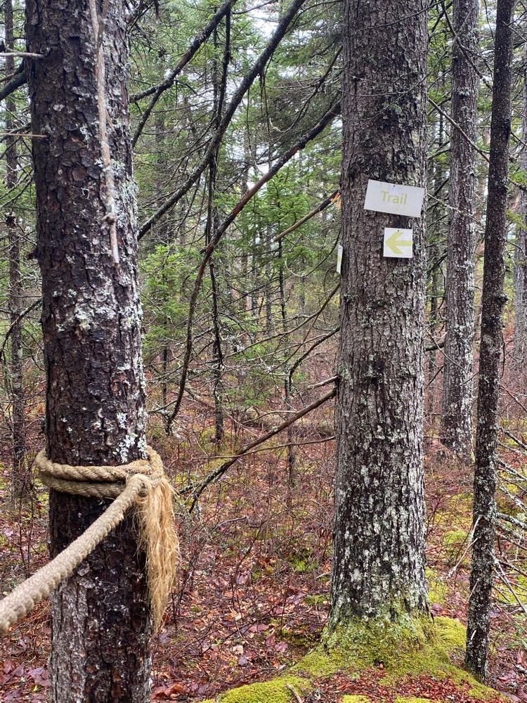
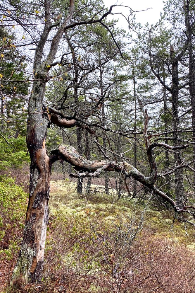
The Eagle Hill Trails are a network of six medium-length, easy to moderate difficulty trails all located near the Eagle Hill Institute campus in Steuben, Maine just over the Washington County line. The shortest trail is an easy, ten minute walk from the Institute’s main building to a precipice overlooking Gouldsboro Bay with views of Schoodic Head and Cadillac Mountain in Acadia National Park. Longer trail options include a moss-covered trail undulating through jack pine and cedar forests through a blueberry barren and right down to the coastal edge of Dyer Bay. These trails are well marked with blazes and frequent signage. Parking is plentiful and all Eagle Hill Trails are open to the public. A free trail map can be obtained at Eagle Hill Institute’s main office.
If you cannot obtain our free trail map, park in the second parking lot, also on your left. Two of the trails begin from the east side of this parking lot (Border Trail and Orchid Trail). You can find a third trailhead by walking past this parking lot further down the dirt road (Blueberry Trail). For the shortest trail, walk back down the road you drove in on; there is a path between the Commons Building and the Office leading to the Leap Trail. If you walk further down the road you drove in on past the Commons Building, you will find the trailhead to the Sunset Trail.
Visit the Eagle Hill Institute online for more information or contact:

Give Back: Look for ways you can give back to the communities and organizations that make Maine’s outdoors great. Consider integrating volunteer work into your trip, or make a donation to local conservation groups.
FROM AREAS SOUTH AND WEST (Portland, Bangor): Drive towards the city of Ellsworth. When leaving Ellsworth, drive north on Route 1 for just over 26 miles (42 km). Continue past the town of Gouldsboro and the signs for the town of Steuben on the right. Past Matthew’s Country Store/Sunoco gas station on the right, take the second right onto Dyer Bay Road (there is a street lamp at the intersection). Look for the big blue signs saying “Eagle Hill Institute/Christopher’s Restaurant” just before the turn onto Dyer Bay Road; Eagle Hill is about 4 miles farther. If you see the sign for Pigeon Hill Road on your right, you have gone too far.
FROM AREAS NORTH (Machias, Canada): Drive towards the city of Ellsworth heading south on Route 1. After passing through the town of Milbridge, drive past a large brown sign for Petit Manan National Wildlife Refuge and Pigeon Hill Road on the left. Look for the big blue signs on the right saying “Eagle Hill Institute/Christopher’s Restaurant” just before Dyer Bay Road. Take the next left turn onto Dyer Bay Road; Eagle Hill is about 4 miles farther. If you see Matthew’s Country Store/Sunoco gas station on the left, you have gone too far.
FROM DYER BAY ROAD TO EAGLE HILL: Continue on Dyer Bay Road until you come to a T-intersection after a small bridge. Here you will see the big blue signs saying “Eagle Hill Institute/Christopher’s Restaurant” indicating you should turn left at this intersection onto what is now called Mogador Rd. About 3.5 miles from Route 1, you will see a gravel pit on the left and then a wooden sign also on the left that says Eagle Hill Institute and Christopher’s Restaurant. Turn left here onto the dirt road called Schooner Point Road. After the first hill, turn right onto the dirt road called Eagle Hill Road. The large Commons Building and smaller office building will both be on your right and the first parking lot will be on your left. You can obtain a free trail map from either of these buildings.
Success! A new password has been emailed to you.