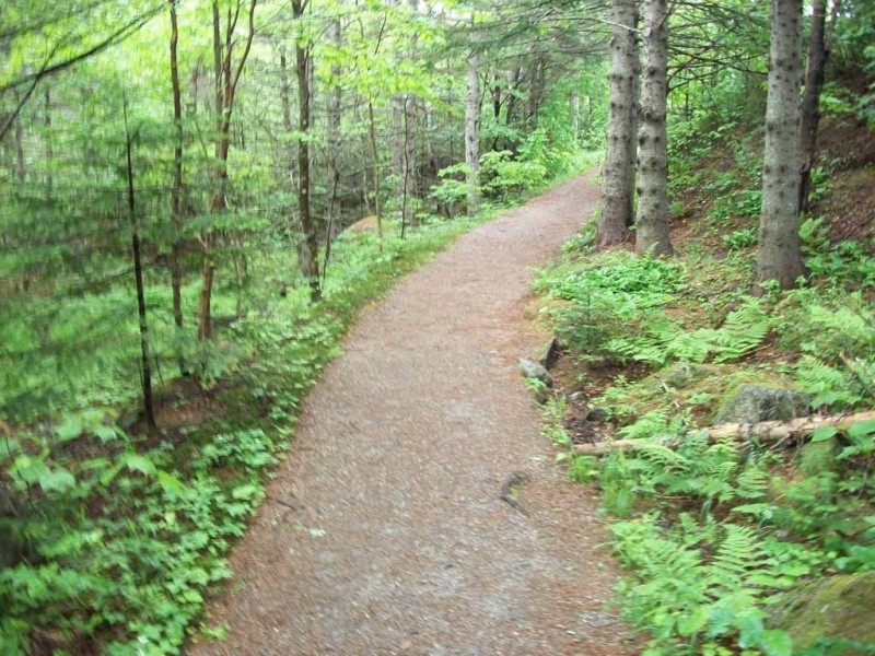
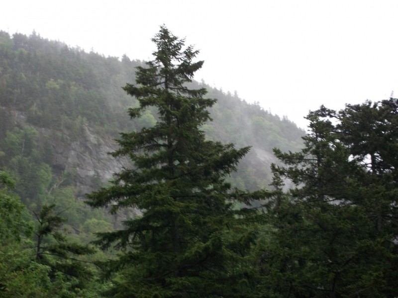
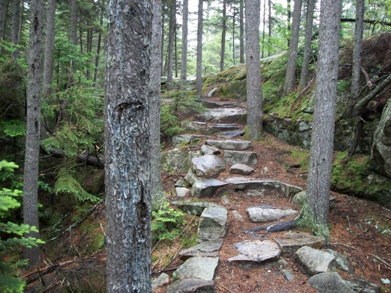
For those looking for a leisurely hike, Grafton Notch State Parks offers three small areas that are frequented less often. These family-friendly areas allow visitors of all ages to see some of the interesting geological features of the Mahoosuc Region.
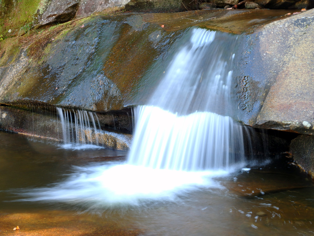
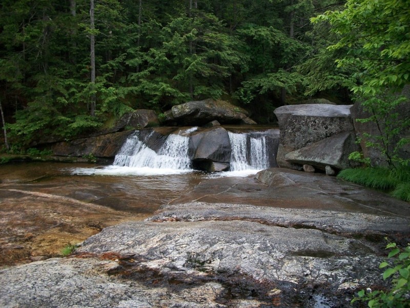
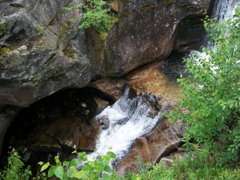
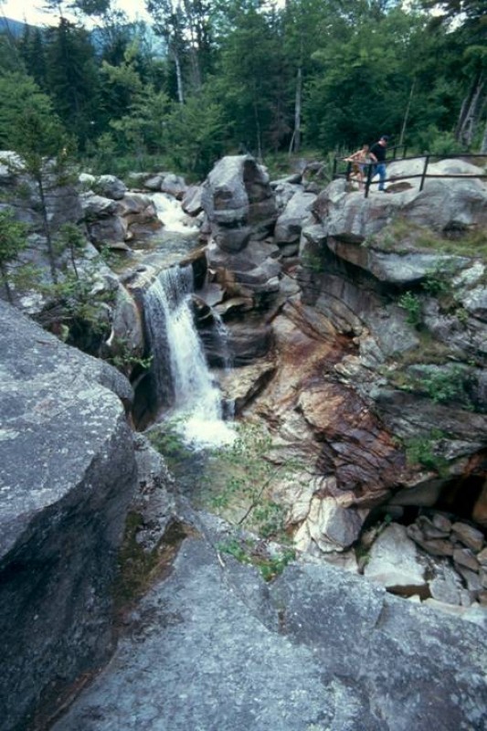
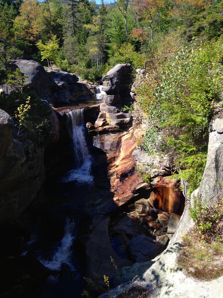
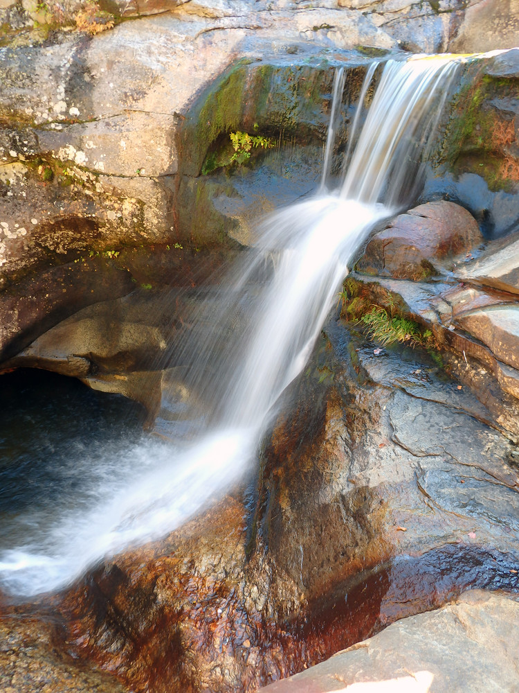
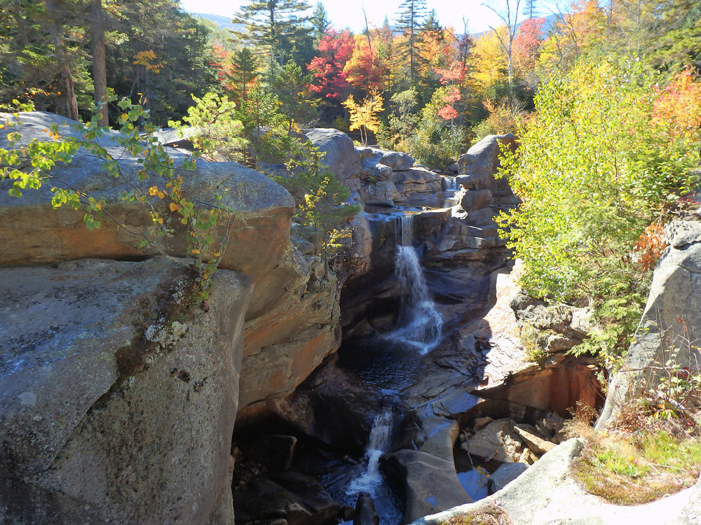
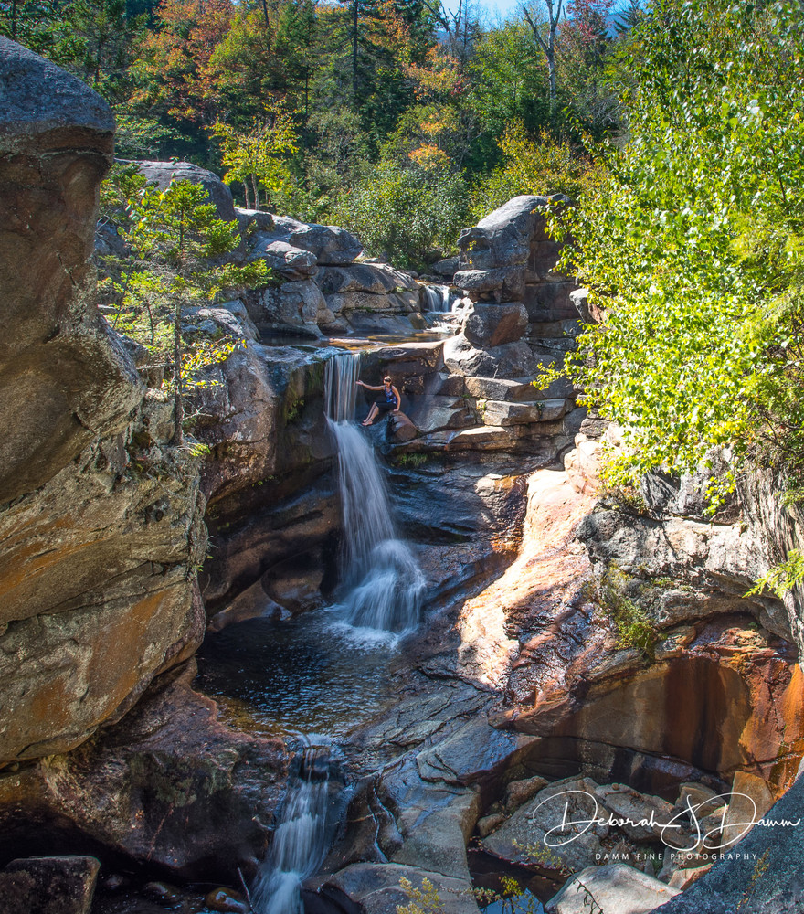
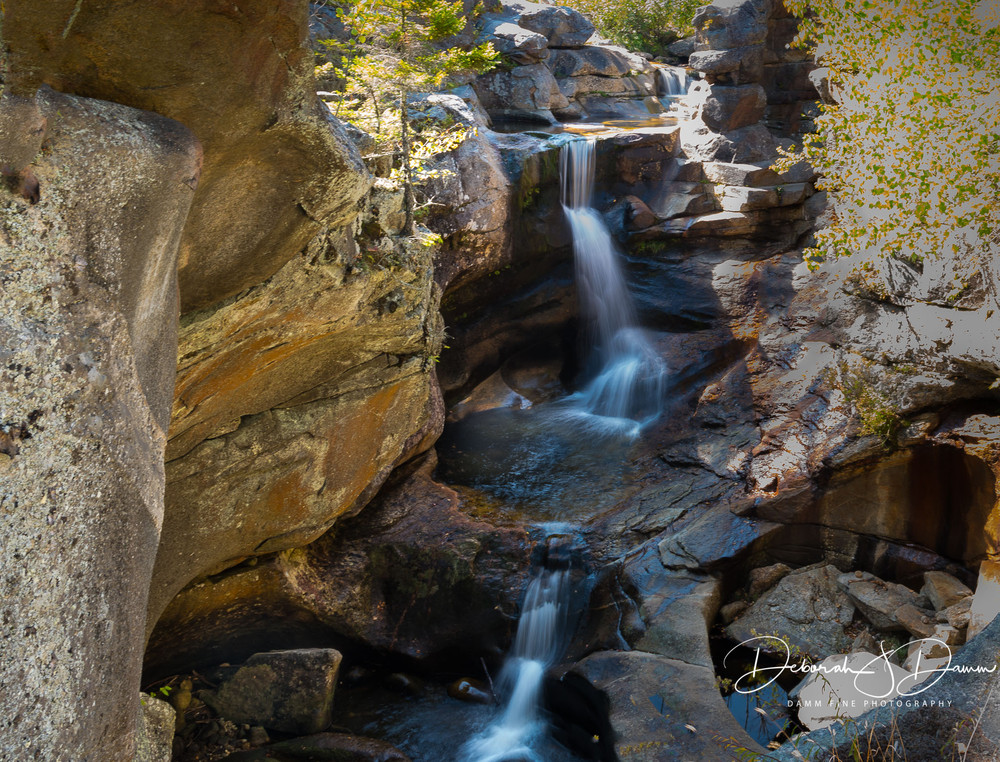
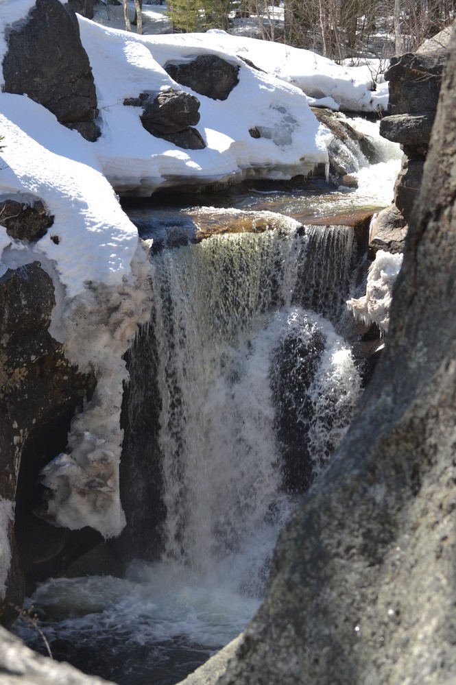
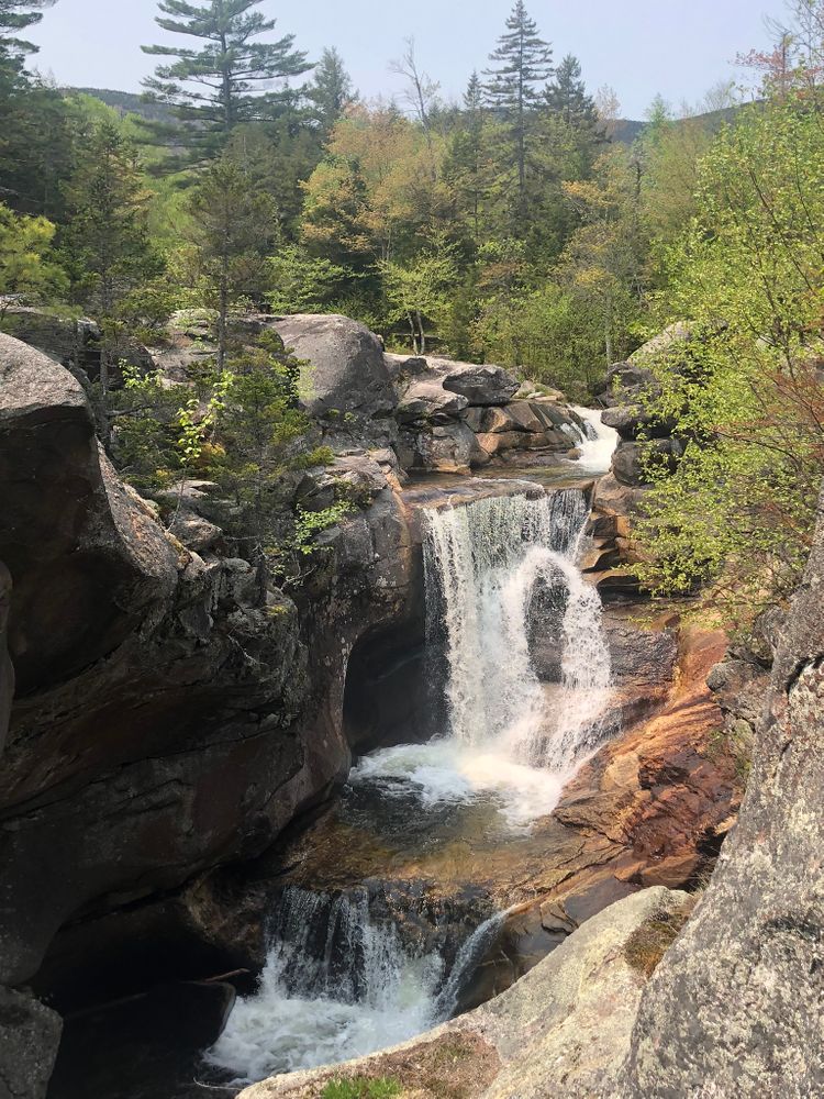
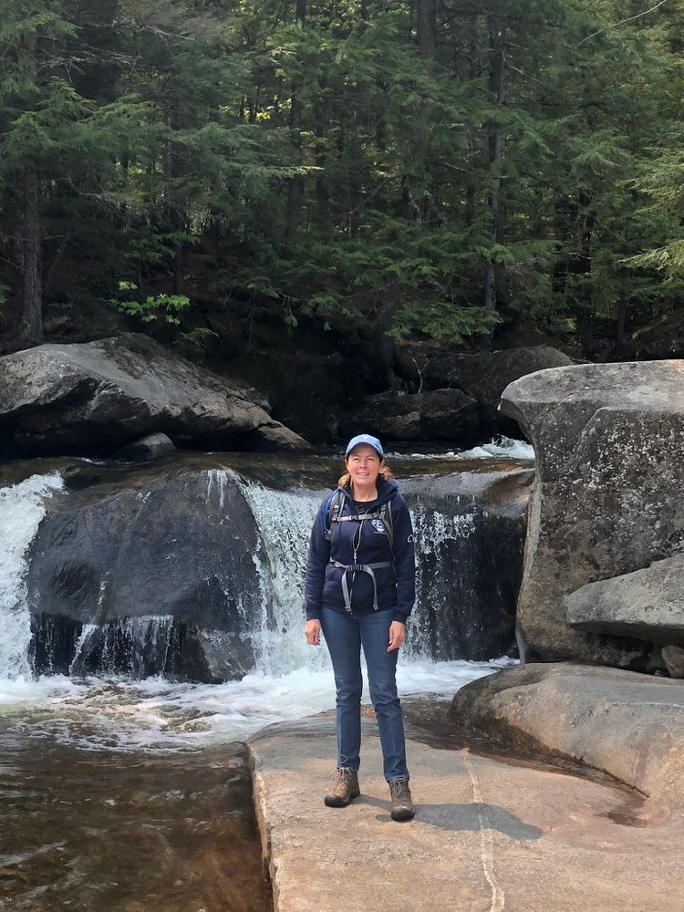
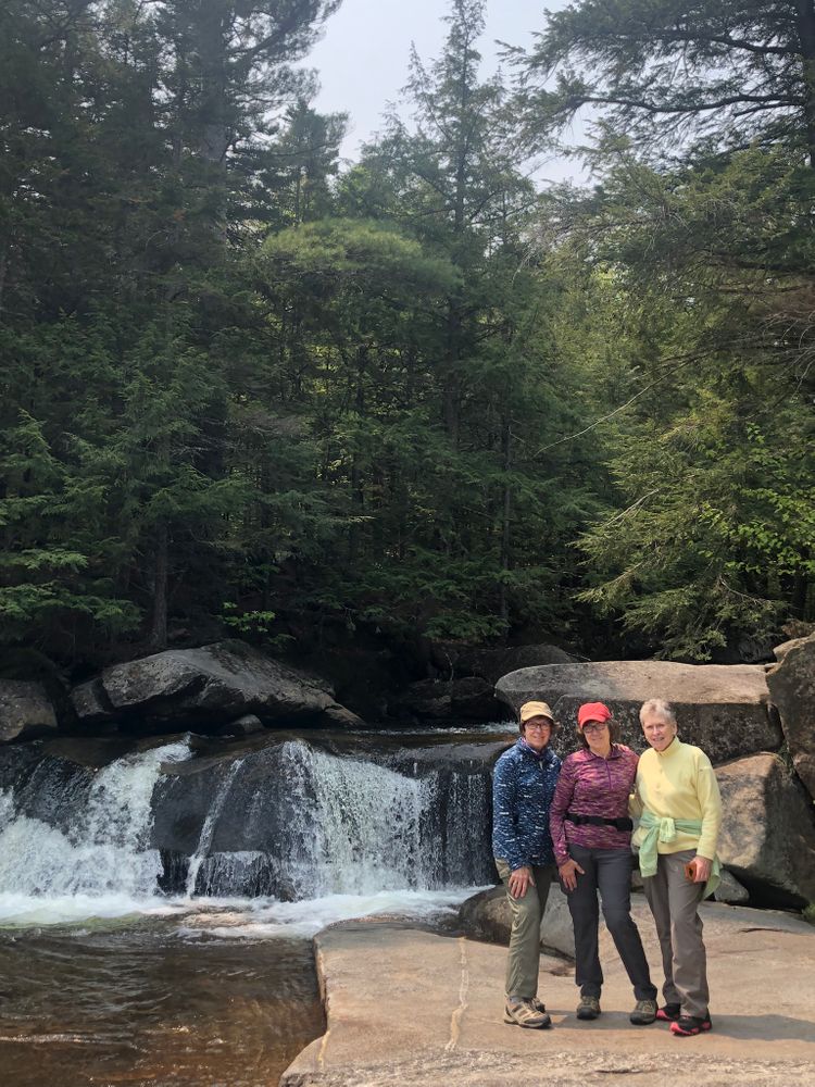
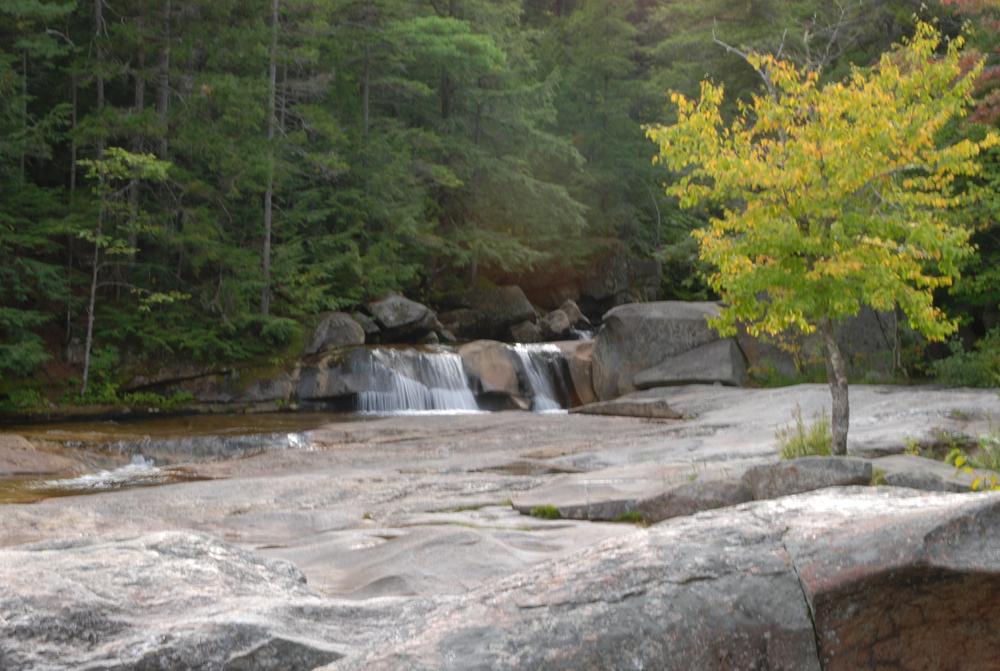
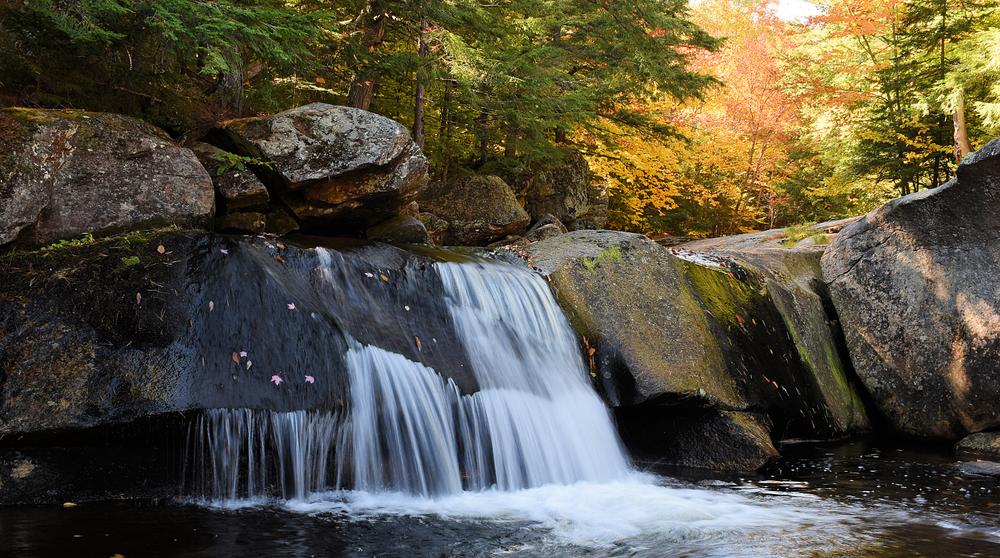
Screw Auger Falls (0.4 miles network, easy): Located a mile north of the park entrance, Screw Auger Falls offers visitors an excellent opportunity to unwind from a long drive, picnic along the calming waters of the Bear River or take a quick dip to cool off. The paths around Screw Auger Falls lead to a 23-foot waterfall lying in a narrow gorge along the Bear River. A well-defined, 0.1-mile path with guard rails may be taken to view the falls. There are many ledges and large drop-offs, so please exercise caution, especially in wet weather conditions or when visiting with small children. Below the falls, the Bear River traverses through a series of cascades, past large potholes, shallow pools and grottoes.
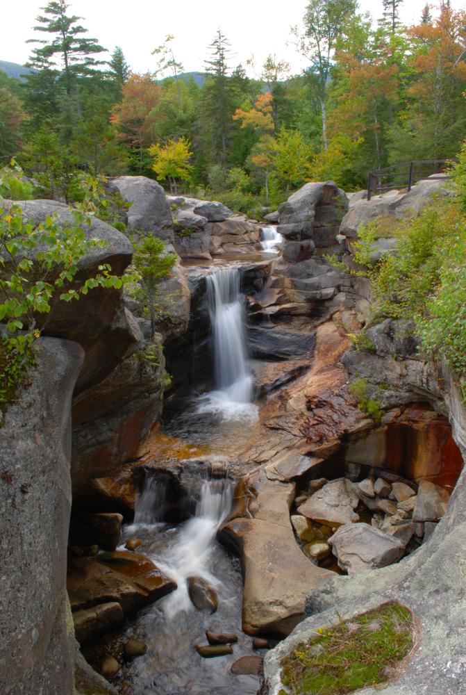
Mother Walker Falls (0.2 miles round trip, easy): Mother Walker Falls is located 1.1 mile north of Screw Auger Falls, is a v-shaped gorge more than 40 feet wide and 980 feet long. Also located on the Bear River, this cascade of water roars over broken rocks falling into small pools and gradually descending 98 feet.
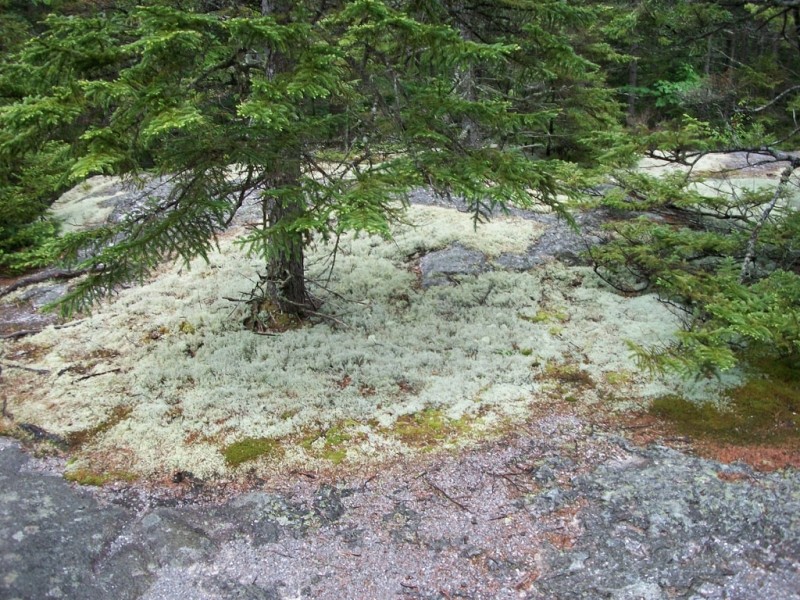
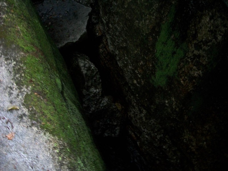
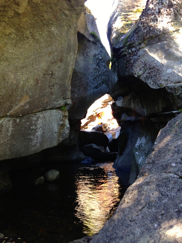
Moose Cave (0.4 miles loop, easy): Another 0.8 mile further, one can find Moose Cave located within a 45-foot-deep canyon of bedrock where water skirts boulders and temporarily disappears into a cave beneath a granite slab. The trail follows a 600-foot long gorge carved through granite by glacial meltwater. Hikers are urged to show caution on the slippery rocks so that one will not fall in the gorge like the unlucky moose for whom Moose Cove was named. The trail also loops through a moss garden located on the ledges of the mixed growth forest. Several species of lichen inhabit this garden including "Reindeer Moss" which is native to the Arctic Tundra. There is also an excellent view of Table Rock from Route 26 at this point.
View BPL's Grafton Notch and Mahoosuc Public Land map and guide.
Grafton Notch State Park is also part of the Maine Birding Trail. Birdwatchers can observe peregrine falcons, a wide variety of songbirds, and at higher elevations some northern forest species. In the winter, adventurous snowshoers and cross-country skiers enjoy exploring ungroomed trails.
Grafton Notch is open seasonally from May 15th to October 15th from 9:00 am to sunset. Off season, visitors may continue to enjoy the park during these same hours. Please place the admission fee in the self-service collection canister. Please be aware that facilities are closed during the off season.
Visitors are urged to follow the carry-in/carry-out policy of the park so that others may enjoy this majestic part of Maine. Grafton Notch State Park is day use only, there is no camping allowed at the park. There are several private campgrounds to use in the area.
Visit Maine Bureau of Parks and Lands online for more information and a printable map or contact:
![]()
From the intersection of US Route 2 and ME Route 26 in Newry, follow ME Route 26 north approximately 9 miles to Screw Auger Falls (on the left), 10 miles to Mother Walker Falls (on the right), or 11 miles to Moose Cave (on the right). Another mile past Moose Cave, the Appalachian Trail crosses ME Route 26 at the main park trailhead.
Success! A new password has been emailed to you.