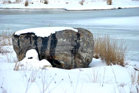
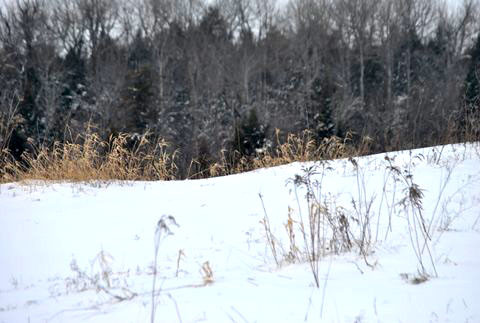
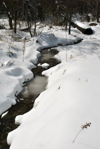
Land Owner, Helen Holman, has worked since 2005 to fill and level gravel pits and restore a landscape where timber, gravel, and loam had been removed. Former gravel pits are now dominated by grey birch (Betula populifolia), white birch (Betula papyrifera), quaking aspen (Populus tremuloides), and balsam fir (Abies balsamea) in the uplands, and northern white cedar (Thuja occidentalis) and balsam fir in the wetlands. The floodplain, forested, and emergent wetlands in the Holman Conservation Area provide excellent wildlife habitat for beaver, and many species of mammals, fish, and birds. Beavers frequently dam and flood the banks of Maggoty Meadow Brook. This disturbance pattern maintains the beautiful bluejoint meadows (Calamagrostis canadensis) that define this wetland. Most of Litchfield’s brooks bear the name of a family who resided near the brook, Maggoty Meadow is an exception and the name’s origin is a mystery. It is, in fact, a beautiful brook which belies the usual meaning of “maggoty”. Much of its course lies between two of Litchfield’s oldest roads, Small and Upper Pond Roads. The brook did provide water, and likely was a source of meadow hay for cattle. Early farmers would have harvested this nutritious native grass before forested lands had been cleared for upland hay fields.
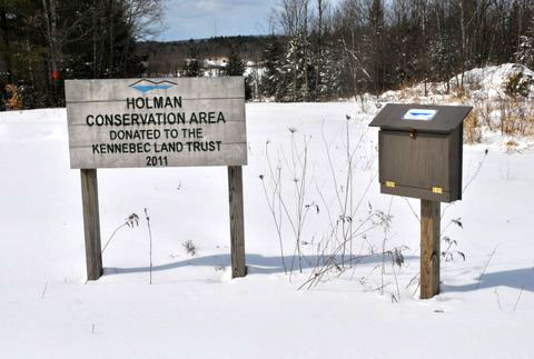
The 75-acre Holman Conservation Area is part of a much larger undeveloped landscape in Litchfield. KLT’s 117-acre Webber-Rogers Farmstead Conservation Area and the 250-acre Small-Burnham Conservation Area are north and west, and lands owned and protected by the Town are nearby. Helen Holman's conservation easement with the Kennebec Land Trust protects important wildlife habitat and other natural resources, grants public access for low impact recreational activities, and prohibits residential and commercial development. Land owner permission is required for hunting.
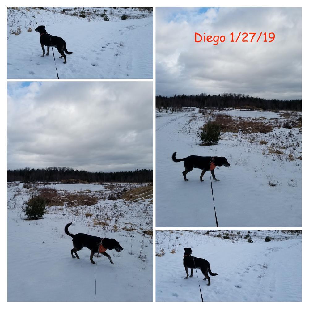
Dogs are permitted, but please keep them on a leash due to the proximity of nearby horses.
Visit the Kennebec Land Trust online for more information or contact:

From Gardiner area: Take Rt. 201 south from Gardiner. Just over 3 miles south of the Rt. 295 interchange, turn right onto Thorofare Road. Turn left on the Plains Road. Travel about 0.25 miles and take a left on Upper Pond Road. After ~0.5 miles, take a right onto Melanie Lane. A KLT sign and registration box is about 0.2 of a mile from Upper Pond Road.
From Lewiston area: Take Rt. 126 toward Gardiner. Just past Waterman Farm Machinery, turn right onto Rt. 197. At Litchfield Corner (watch for the Brick School on the right), turn left onto the Hallowell Road. Turn right onto the Plains Road, passing the Fairgrounds on the left. Pass over the Turnpike and turn right on the Upper Pond Road; after ~0.5 miles turn right onto Melanie Lane.
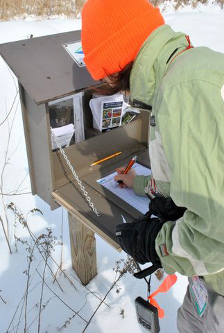
Winter Access: Park on Melanie Lane at the end of plowed section of the road.
Success! A new password has been emailed to you.