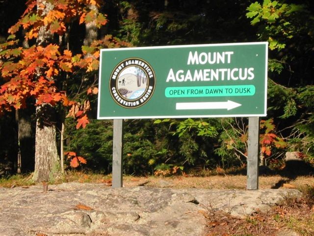
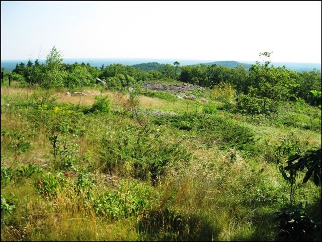
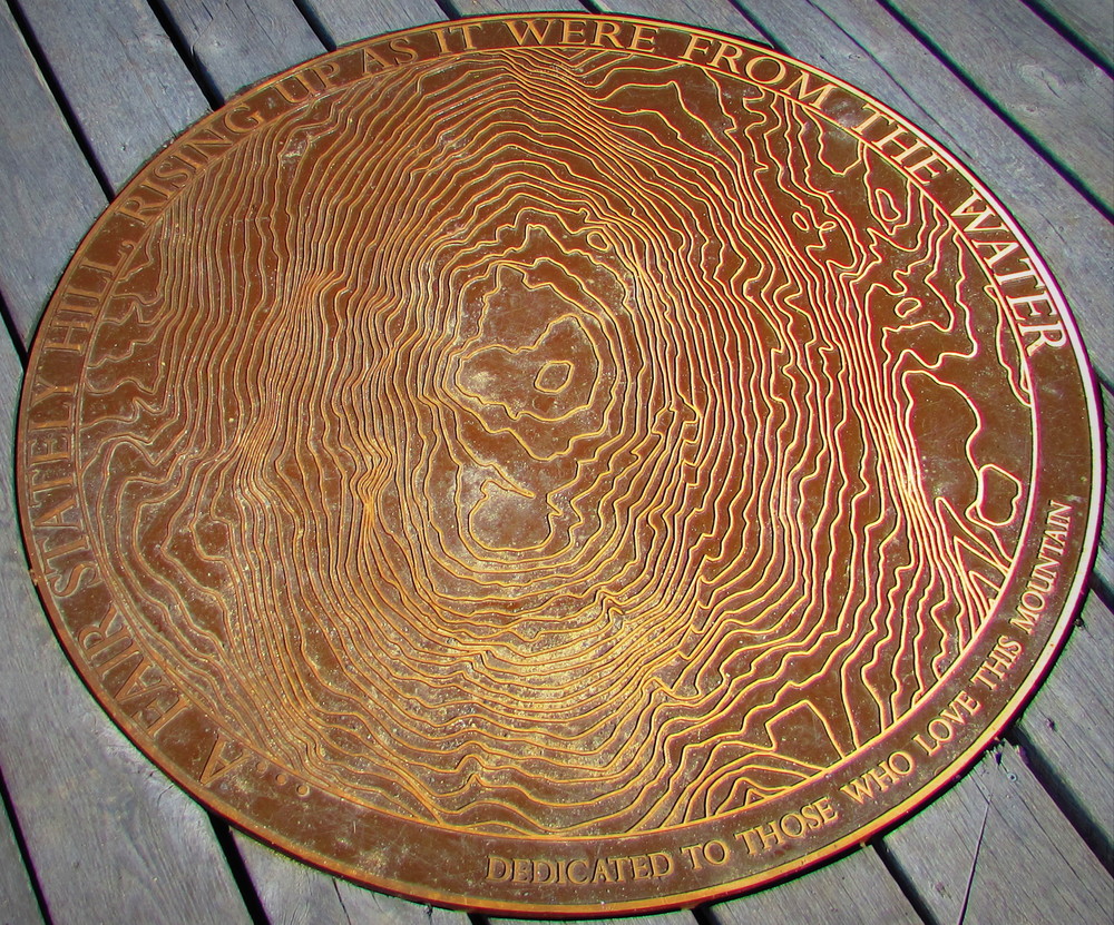
The 10,000-acre Mount Agamenticus Conservation Region provides a unique natural treasure in highly developed southern Maine. Mount Agamenticus and the surrounding conservation lands are comprised of a rich and unique coastal forest that supports the highest diversity of animal and plant species in all of Maine.
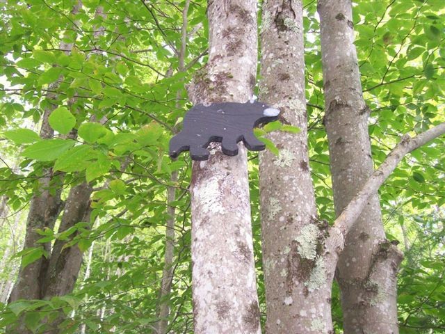
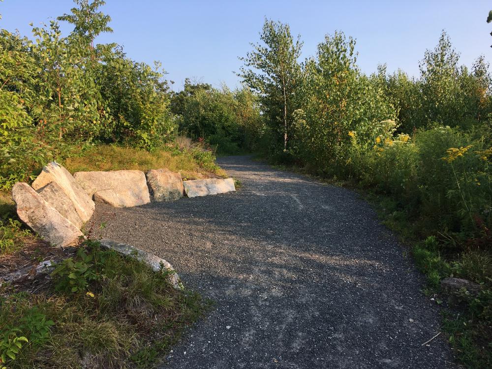
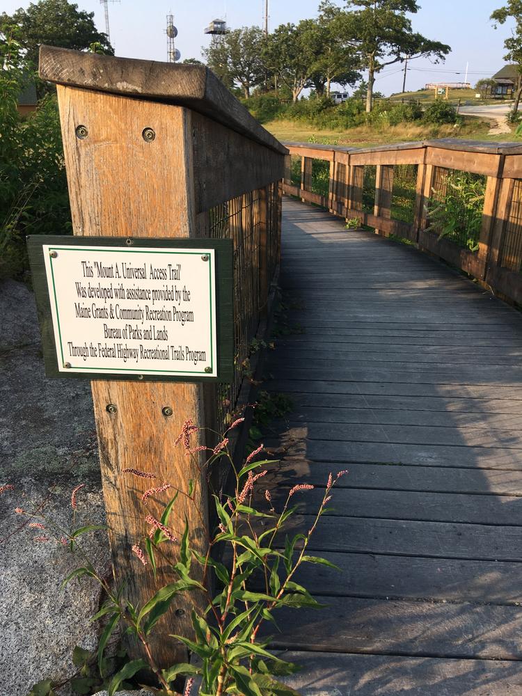
Ideal for local residents and visitors, the trails are for hikers, bikers, and other seasonal activities such as snowshoeing. Select trails are open to equestrians and ATV riders. To ensure long-term trail quality and to protect against erosion, trails are designated for specific uses. Trail signs, color blazes, and a trail map, available at the Mount Agamenticus website, describe which uses are permitted on each trail.
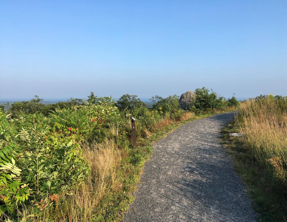
The loops described below are two suggested trail experiences that take advantage of the natural features and unobstructed views available in the preserve.
Ring Trail to Summit Loop (2.2 miles, moderate)
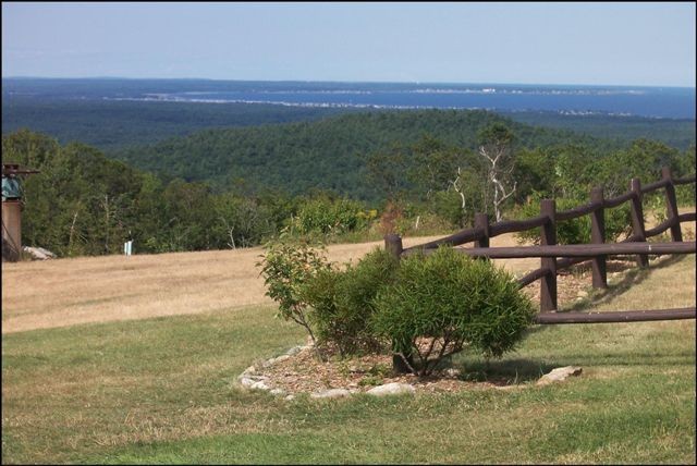
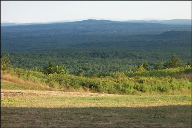
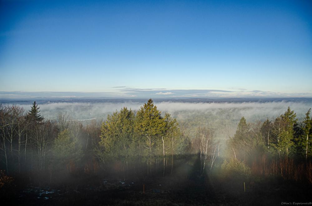
Start at the Ring Trailhead located at the southern base parking area. Proceed up Ring 0.1 miles and turn left at the intersection to cross Summit Road. Continue westerly, passing Blueberry Bluff intersection. At 0.4 miles there is a scenic overlook that presents an unobstructed view to the west. Passing the overlook, Ring Trail turns northerly and passes Wintergreen, Fisher, Vultures View and Sweet Fern intersections before reaching the halfway point at Goose Foot/Chestnut Oak crossing. Continue on Ring for 0.15 miles and turn right onto Witch Hazel Trail. Climb 0.4 miles to the summit of Mount Agamenticus.
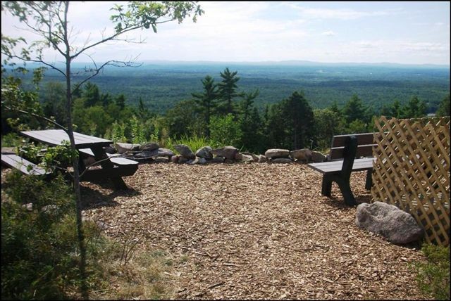
After enjoying the summit views, continue back down Witch Hazel Trail and turn right back onto Ring Trail. Proceed southerly 0.7 miles past the Rocky Road/Hairpin Trail crossing, a summit road parking area, and past the first intersection of your loop, to return to the base parking area.
Cedar Loop (3.2 miles, moderate-advanced)
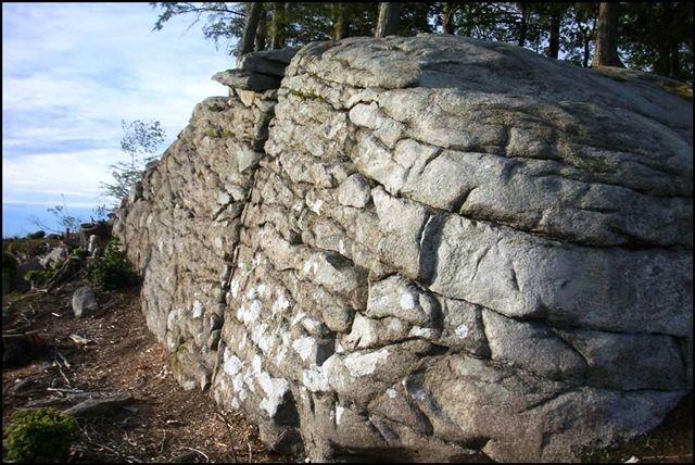
This loop utilizes old roads to run along old rock walls and abandoned cellar holes. The route starts in a dominantly hemlock forest and changes to a mix forest of pine and oak old growth. Start at the Cedar Trailhead, located at western base parking area. Proceed 1 mile along Cedar Trail (passing Goosefoot which is the return trail) over three small boardwalk bridges. Turn right onto Porcupine Trail and proceed for about 1 mile, passing the Second Hill intersection to Chestnut Oak Trail. Turn right onto Chestnut Oak and proceed 0.3 miles until it ends at Ring/Goosefoot/Chestnut Oak crossing. Take Goosefoot 0.7 miles back downhill, passing Vultures View Trail to Cedar. Turn left onto Cedar and follow 0.3 miles back to parking area.
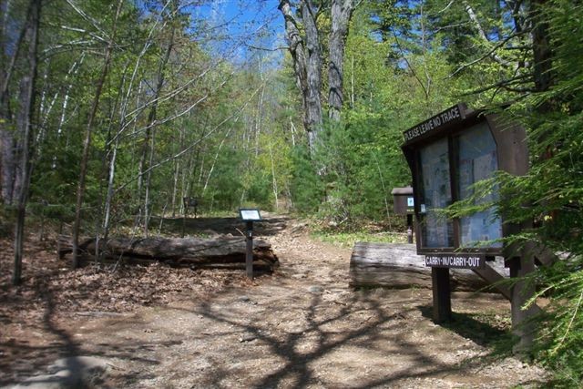
The preserve trails are open year-round from dawn to dusk. The Summit Learning Lodge is open weekends 12-4 from Memorial Day weekend (May) to Indigenous Peoples Day (October). Trails are open for designated uses only. Please respect others on the trails; stay on trails; and don't create switchbacks or new trails. Camping and fires are not permitted. Please remove all litter and follow a carry in, carry out policy. Trash receptacles are not
provided.
There is a seasonal admission fee of $2/hour per vehicle: 6AM – 7PM, May 15 – August 31; 7AM – 4PM, September 1 – November 15. Visit our website for additional fee information.
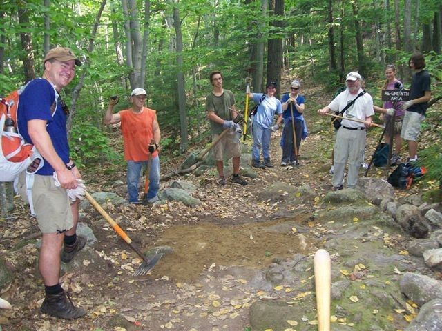
Donations to help with trail management and programming are always welcome and appreciated. For more trails, and ways to get involved please visit our website!
Dogs are allowed but must be leashed at all times while visiting the mountain.

This trail passes through a property that was acquired in part with funds from the Land for Maine’s Future program. For more information about the LMF program and the places it has helped to protect, please visit the LMF webpage.
 Natural Heritage Hikes is a project of the Maine Natural Areas Program in partnership with Maine Trail Finder. View the "Mount Agamenticus Conservation Area - Bear Loop" guide online here.
Visit Mount Agamenticus Conservation Program online for more information or contact:

From the north via Ogunquit, travel from Oqunquit center south approximately 3.8 miles on US-1. Turn right onto Mountain Road. (Flo's Hot Dogs will be on your left.) Travel 1.5 miles to stop sign. Turn right to stay on Mountain Road and travel 2.7 miles to a gravel parking lot and the Mount Agamenticus access road on the right. You can park and access the trails here or drive to the summit.
From York and points south, take I-95 Exit 7 to US-1 and travel northbound approximately 3.5 miles. Turn left onto Mountain Road. (Flo's Hot Dogs will be on your right.) Travel 1.5 miles to stop sign. Turn right to stay on Mountain Road and travel 2.7 miles to a gravel parking lot and the Mount Agamenticus access road on the right. You can park and access the trails here or drive to the summit.
Success! A new password has been emailed to you.