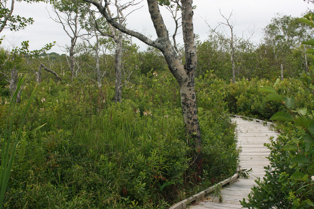
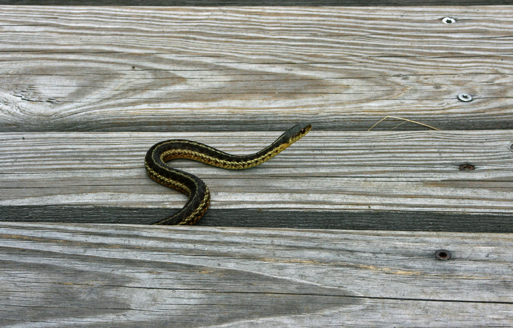
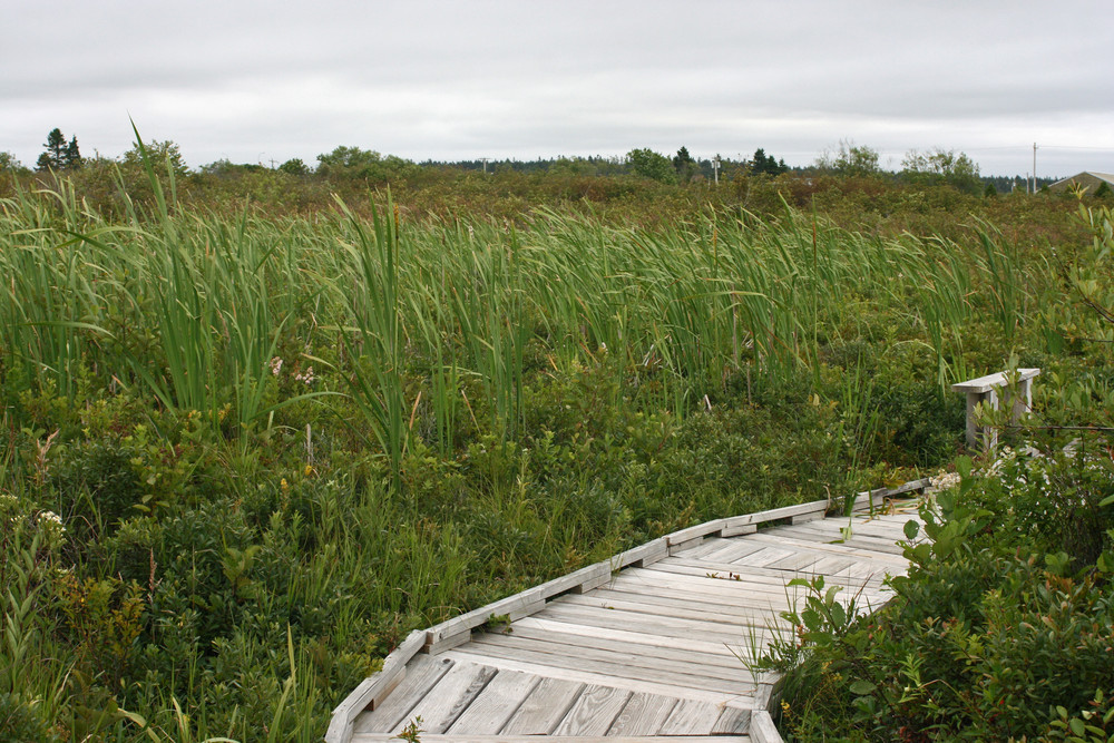
The trail starts at the sign and kiosk at the parking area at the end of Pleasant Street. A short stretch of gravel path leads to a 1,700-foot long boardwalk that passes through typical coastal scrub-shrub woodland and skirts sphagnum bog and cattail swamp. The final section of the trail is graveled and passes through scrub to emerge at the south end of the Lubec Consolidated School near South Street. Return the way you came or, for a longer walk, return by road. The trail can also be accessed from the parking area at the south end of the Lubec consolidated School for a walk to the beach and back. The trail is smooth and almost level and is designed to meet ADA guidelines for wheelchair access.
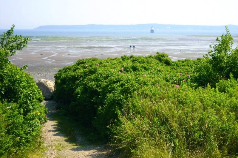
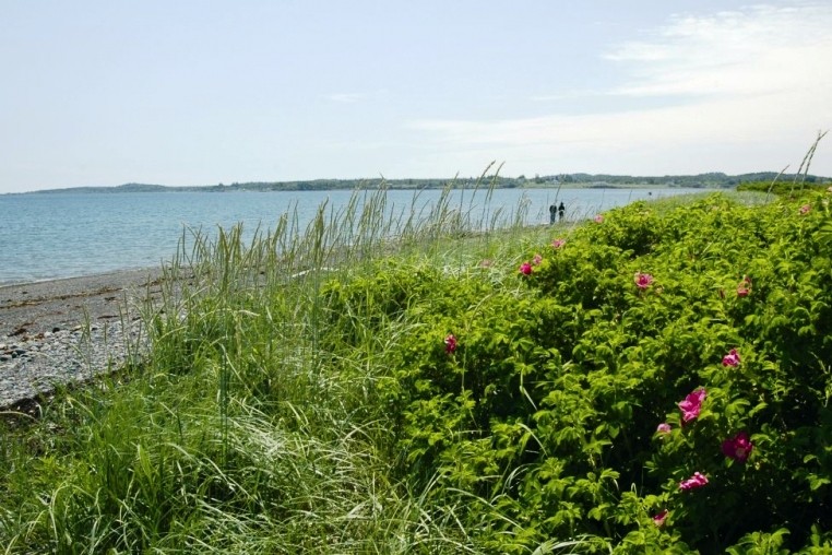
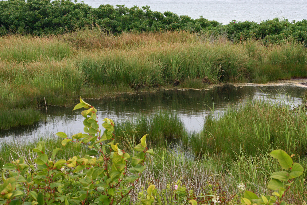
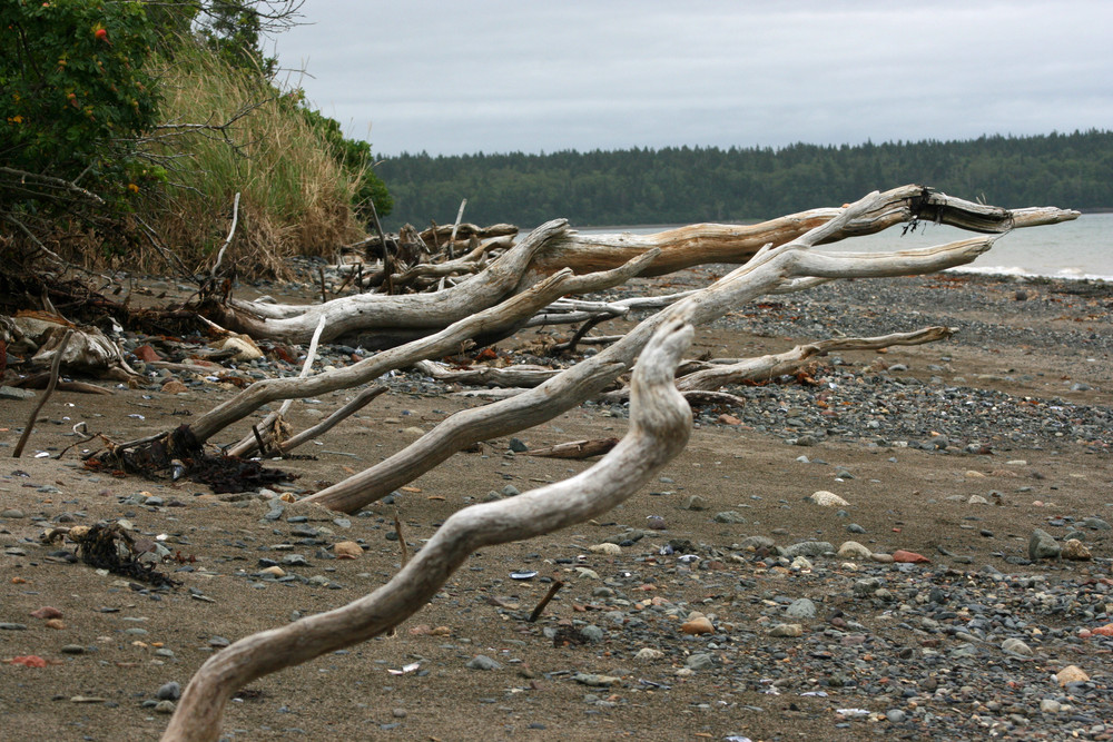
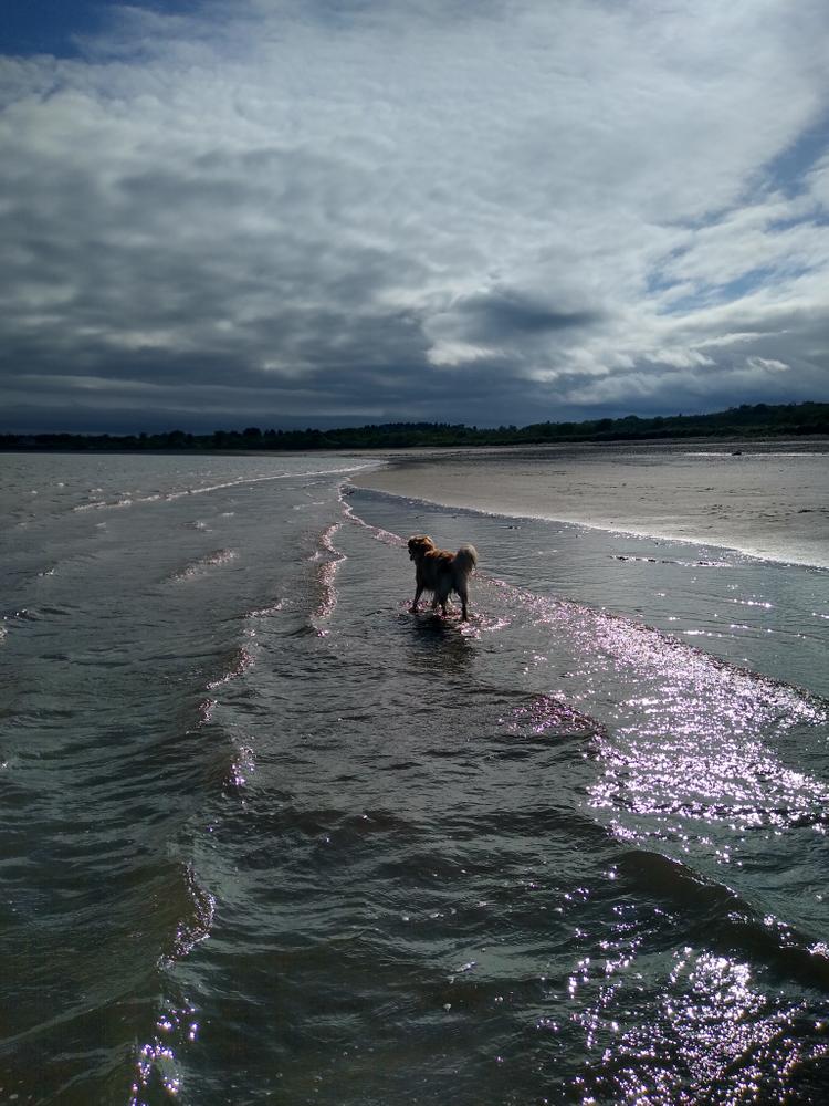
The Beach and adjacent tidal flats are key feeding and roosting areas for shorebirds and gulls. Wetlands, a small freshwater pone, and former pasture not grown back to scrub are all visible along the trail, and these habitats are used by many species of birds, including waxwings, thrushes, redpolls, finches, and warblers and are especially important for early spring and late fall insectivorous migrants. At low tide along the beach the remains of a drowned forest are visible.
To read about Enock's experience using a wheelchair on these trails in MTF Stories, click here.
Please stay off the sand dunes. Dunes and dune vegetation are fragile and cannot withstand trampling. Please do not disturb shorebirds roosting on the beach at high tide.
The Mowry Beach property is owned and managed by the Downeast Coastal Conservancy. It was purchases in 2004 with support from the Land for Maine’s Future program, the Mowry family, and the Lubec community. Known locally as “the Poley Woods” or “Jabez Mowry Pasture Lot,” the property is the last remaining undeveloped portion of the original Mowry family lands acquired in the early 1800’s, soon after the first settling of Lubec Neck by Europeans.
Cobscook Trails Project
Mowry Beach Path is part of a larger network of hiking trails in known as Cobscook Trails. Cobscook Trails is a cooperative project of conservation landowners and community partners that seeks to expand opportunities for nature-based recreation and tourism in eastern Washington County. The group produces "Cobscook Trails: A Guide to Walking Opportunities around Cobscook Bay and Bold Coast Region," a 55 page booklet describing walks on 19 area properties. Find more information about Cobscook Trails, including how to purchase the guidebook, visit: The Cobscook Trails Project.

This trail passes through a property that was acquired in part with funds from the Land for Maine’s Future program. For more information about the LMF program and the places it has helped to protect, please visit the LMF webpage.
Visit the Downeast Coastal Conservancy online for more information or contact:

Take US-1 to ME-189, leading to Lubec. In Lubec village, bear right on Washington Street at the Quik Shop as if heading for the international bridge to Campobello Island. Take the third right onto Pleasant Street. Follow Pleasant Street two blocks (0.3 miles) to the end of where there is a parking area for the trail and beach that can accomodate about 10 cars.
The property can also be reached by turning right off ME-189 at South Street, immediately after the cemetery and before Murphy’s Restaurant. South Street leads to the Lubec Consolidated School. Park at the south end of the school building; the trailhead at the edge of the lawn is sign-posted
Success! A new password has been emailed to you.