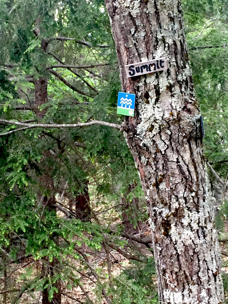
The Pisgah Hill Preserve's trail provides a quiet backcountry escape on the Pownal-New Gloucester town line. The trail is marked by blazing and markers.
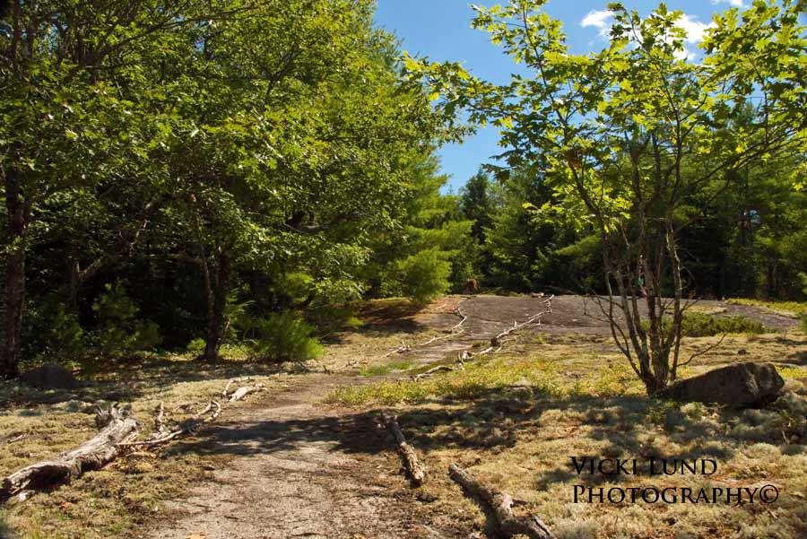
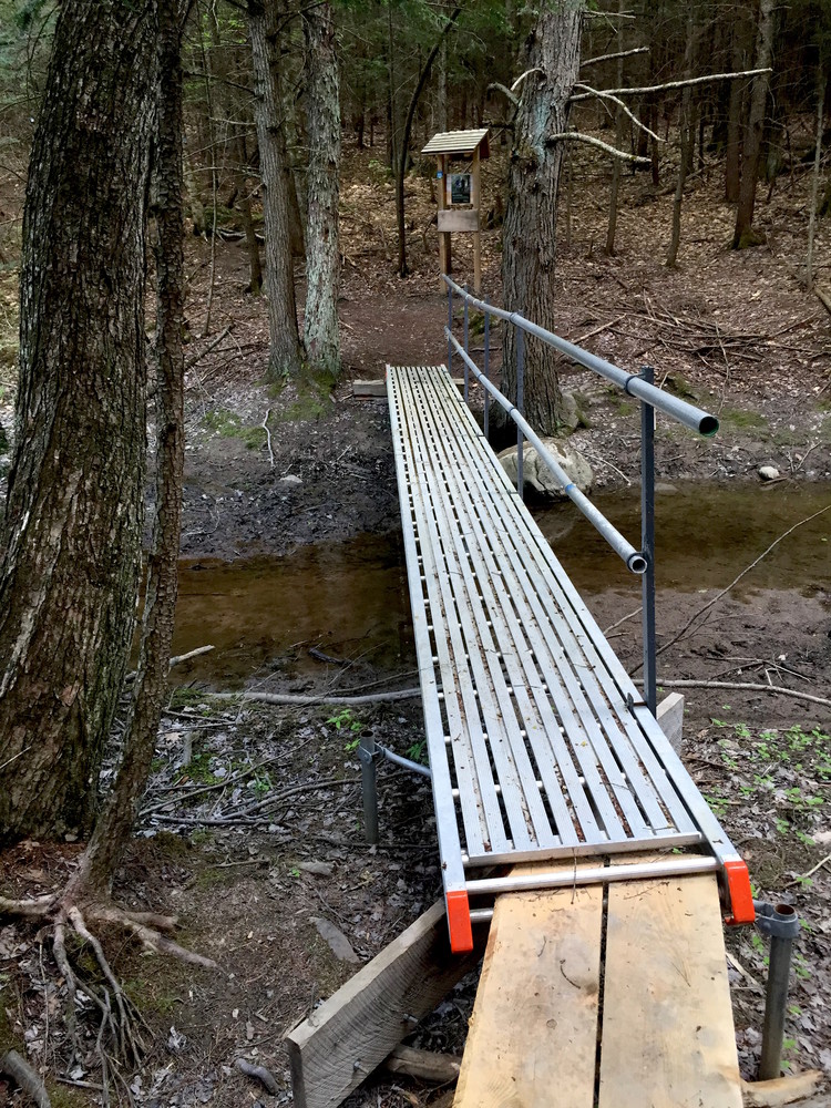
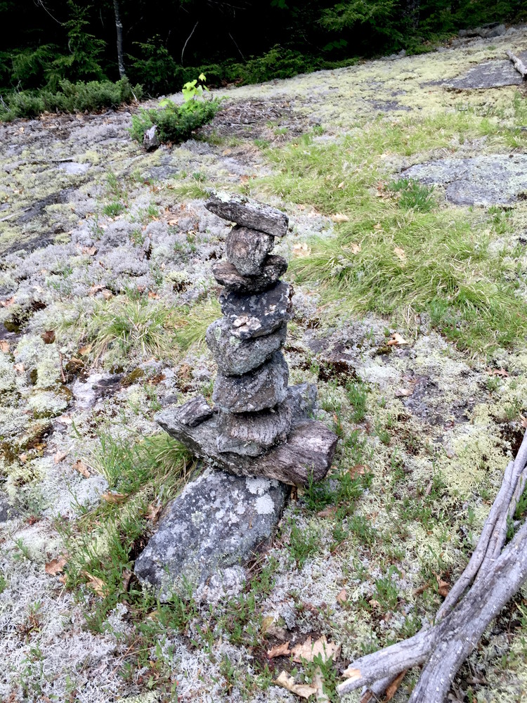
From the parking lot at the edge of Dougherty Road, proceed 300 feet along the edge of a field to the end of the field. The trail steeply drops to a bridge across a stream, then soon splits to form a loop, either direction heading to the summit of the ridge and old quarries. Please avoid hiking on delicate mosses and lichens and instead use exposed ledges as your footpath.
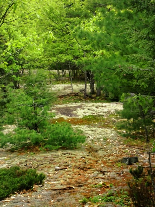
The Pisgah Hill summit and its ridgeline provide scenic views, small old quarries, mixed forests, and beautiful ground cover of lichen and mosses. The Preserve provides habitat for raptors, songbirds, upland game birds, waterfowl, moose, deer, black bear, coyotes, snowshoe hare, fox, weasels, beavers, porcupine, other small mammals, reptiles and amphibians.
The 176 acre Preserve was acquired in 2011, with more acquisitions in 2014 and future years allowing a planned expanded trail network.
Please avoid walking on the fragile lichens and mosses.
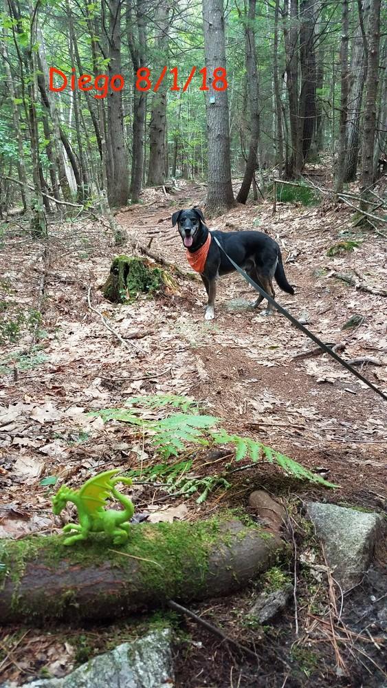
Dogs and safe hunting are allowed on the Preserve. Hikers should always wear blaze orange in season. Dogs should stay on trail by voice control or leash to protect deer populations especially during the winter.

This trail passes through a property that was acquired in part with funds from the Land for Maine’s Future program. For more information about the LMF program and the places it has helped to protect, please visit the LMF webpage.
Visit Royal River Conservation Trust online for more information or contact:

The trail head is at 74 Dougherty Road in New Gloucester, 0.5 miles south of ME Route 231 (Intervale Road), on the left (east). Alternately, from Allen Road in Pownal, follow the Chadsey Road (becomes Dougherty Road) 0.8 miles, and look for the trailhead and parking on the right (east). The trailhead is marked by Royal River Conservation Trust signs, with four parking spaces in a gravel parking lot.
Success! A new password has been emailed to you.