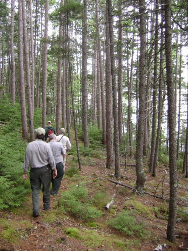
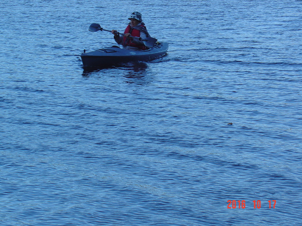
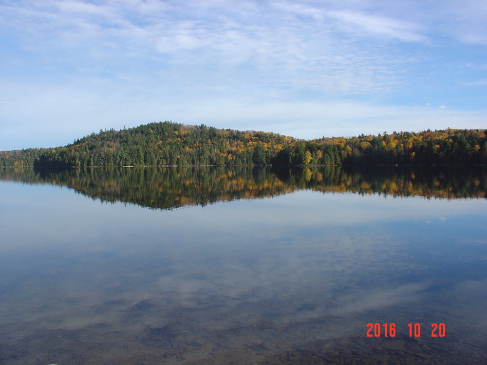
A relatively new 1.4 mile section of hiking trail connects the Scraggly Lake Road to an older loop portion of the Owl's Head Trail. Previously, hikers needed to paddle from the boat launch site on the lake to reach the trail. While this is still an option, hikers wishing for a land-based approach can follow the meandering southern shoreline of Scraggly Lake to the old trail and a pleasant vista atop the Owl's Head, located on the peninsula.
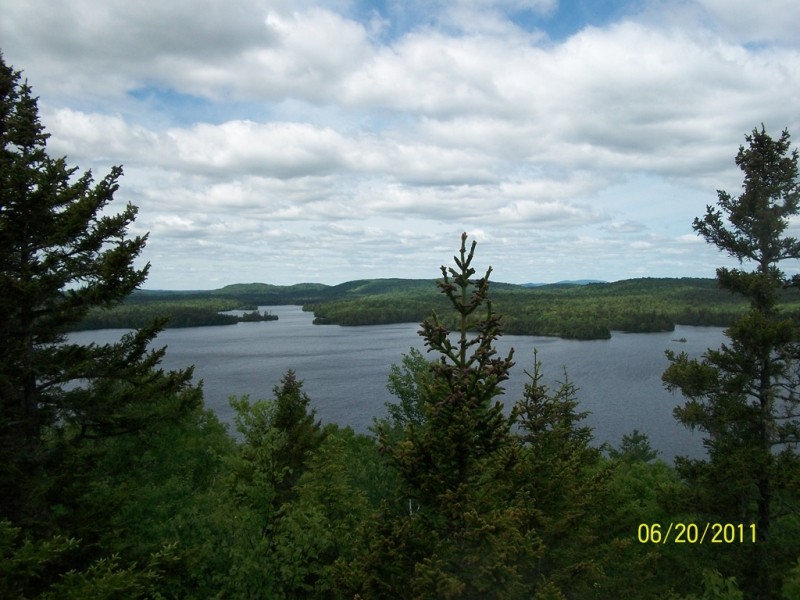
The connection from the road to the loop is relatively flat hiking along the lake shore, but a with a few short climbs. This section of trail is a primitive hiking trail and as such includes frequent roots, rocks, and uneven surfaces. Upon reaching the peninsula area, the trail begins to climb and then forks into the previously existing loop. The loop can be hiked in either a clockwise or counter clockwise direction. The right fork provides a more direct route to the hilltop and vista on Owl's Head, whereas the left fork takes you first through a pleasant stand of mature softwoods before climbing to the hilltop from the north. The loop segment of trail on the peninsula is approximately half a mile in length.
After enjoying the views, return to the main trailhead and Scraggly Lake Road by hiking back along the 1.4 mile shoreline trail.
View BPL's map for Scraggly Lake Public Land.
The Scraggly Lake Public Lands includes approximately 9,000 acres managed for multiple values and uses. Wildlife abound, and extensive deer wintering areas found here serve as essential habitat during long winters with deep snow. Hunting, fishing, and camping are popular activities. Timber management on the Scraggly Lake Public Lands is overseen by professional foresters employed by the Division of Parks and Public Lands. Divison forest management is certified as sustainable by two separate certification programs.
Take care traveling along area logging roads, pulling over and stopping for trucks regardless of which direction they’re headed. Do not block side roads and never stop where visibility is poor. Roads can be dusty in dry weather and washed out in wet weather. Gravel roads are hard on tires (and suspension systems): travel slowly and carry a spare tire.
Don't count on your cell phone in an emergency as coverage is spotty to non-existent.
Visit Maine Bureau of Parks and Lands online for more information and a map and guide or contact:
![]()
Access to the Owl's Head Trail the Scraggly Lake Public Lands involves driving gravel logging roads, miles of which are privately owned. To reach Scraggly Lake, travel to the Town of Patten and take ME Route 159 north 17 miles to Shin Pond. ME Route 159 eventually becomes the Grand Lake Road (unpaved). Within 2 miles after crossing the Seboeis River, turn right (north) onto the Scraggly Lake Road.
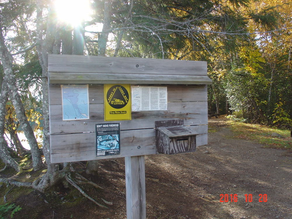
The Scraggly Lake Road leads into the Scraggly Lake Public Lands. Look for the trailhead parking area near the southernmost tip of the lake, near the lake's outlet.
Success! A new password has been emailed to you.