Stillwater River Trail

Flat rail trail along the banks of the Stillwater River just north of Orono.
Trail Activity
Snowshoeing Mountain-biking Cross-country-skiing Walking Hiking
Length
4.00 miles, Round Trip
Difficulty
Easy, Moderate
Town
Orono
Surface
Dirt/Forest Floor, Pavement
Pets
Permitted
Fees
No

Description

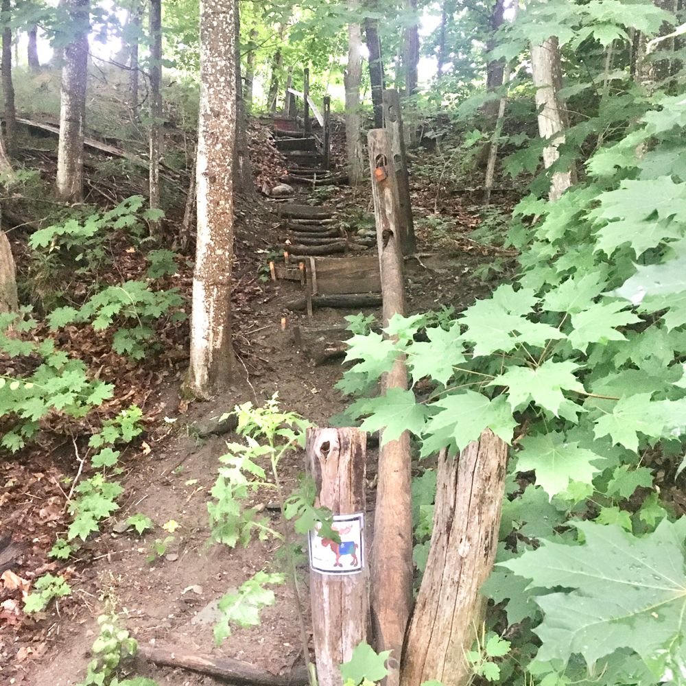
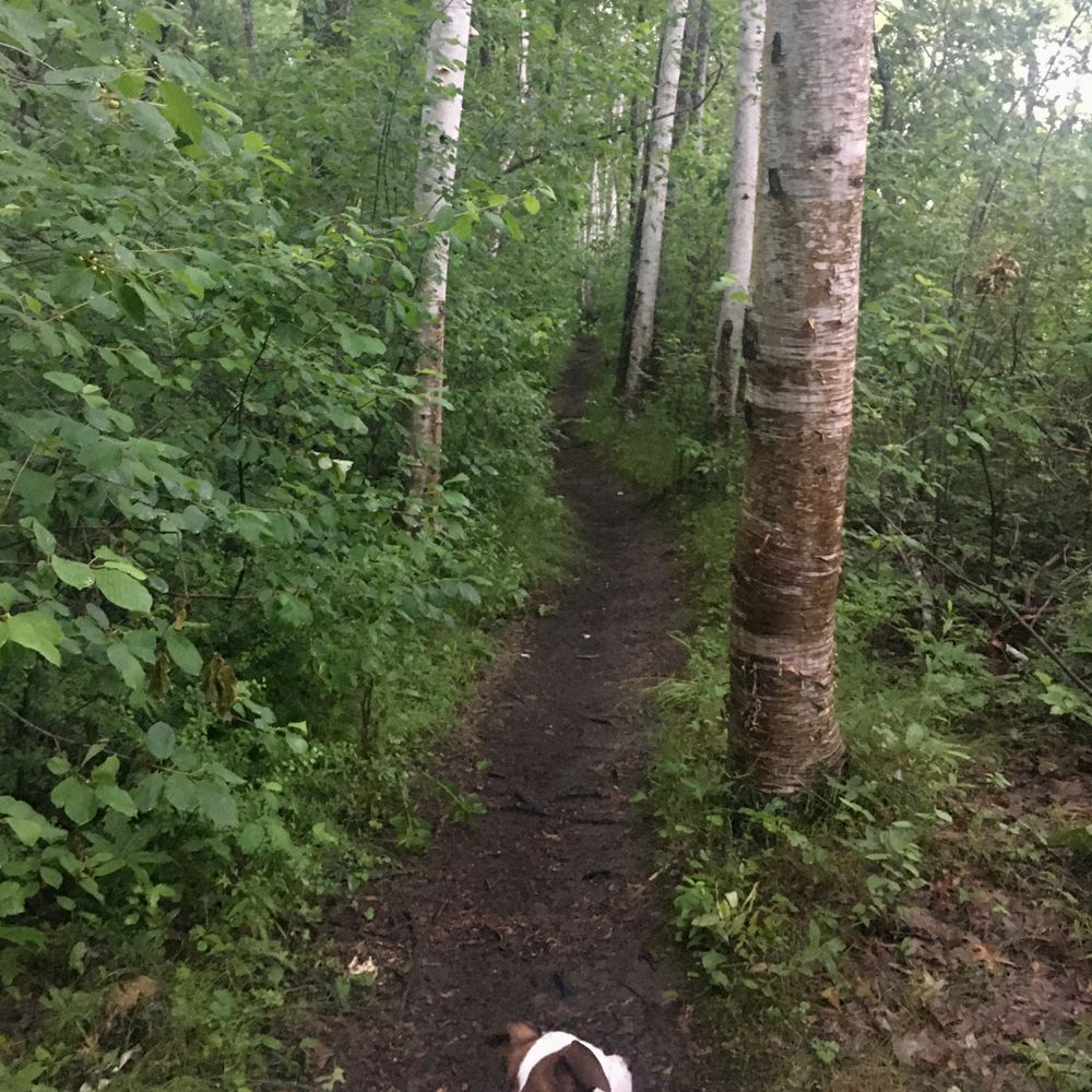
This popular trail follows an old rail bed constructed in the 1860s. The rail line was used to transport products to Bangor from the lumber mills near the Stillwater Avenue bridge. Coal for the University of Maine was stored on a spur off the main rail bed, opposite the current University heating plant. The faint patterns of old railroad ties and occasional spikes can be seen on parts of the trail. In 1967, the town built a sewer system and placed pipes under the old rail bed. The pipes were repaired in 2005 and in the process the town created a walking trail along the river. In 2007, trail bridges were added upstream from the water treatment plant. Look for beaver lodges along the river’s edges. Avoid the abundant poison ivy in this area.

Other Information

Dogs need to be under control of their owners. Please observe the carry-in carry-out policy.

Trail Manager

Visit Orono Land Trust online for more information and a printable map or contact:

Orono Land Trust

Orono Land Trust
PO Box 4
Orono, ME 04473
oronolandtrust@roadrunner.com
View website

Nearby Events

VIEW EVENTS CALENDAR

Trail Tips

Be Considerate of Other Visitors
Be aware of and limit the noise you and your group generate. Enjoy the sounds of nature.
Legend
Hide All

Trailhead Information

The best parking and trail access is available at Brownie’s Park, 0.3 miles north of Orono center on ME-16/Bennoch Road.

Click on a parking icon to get custom directions
Please Log In or Create Account to add comments.
currysr3
July 01, 2020
Used parking area across from Noyes Dr. and walked (right) to area behind UCU, then backtracked and walked the full trail to Orono/Old Town line past cemetery on Bennoch Rd. I opted to walk down road to start of sidewalk at Godfrey Dr. and followed back to parking lot.

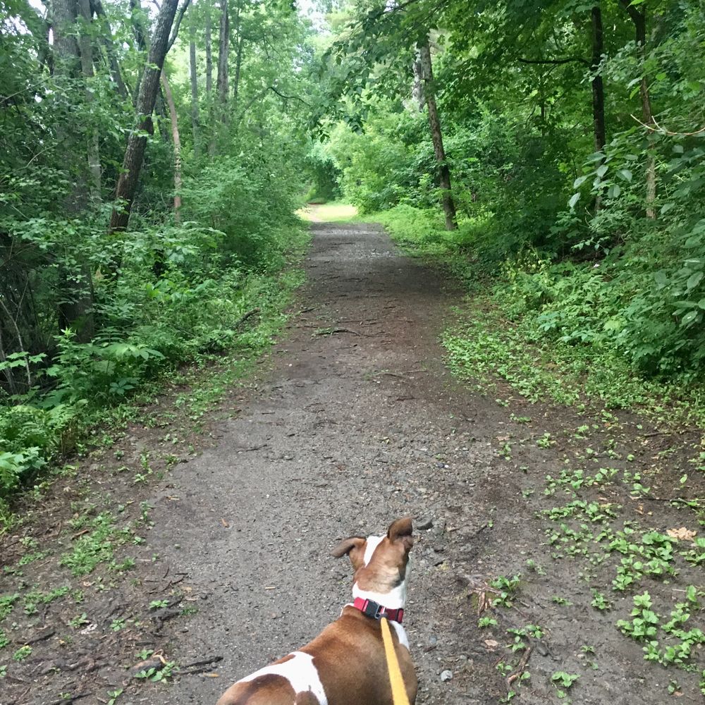
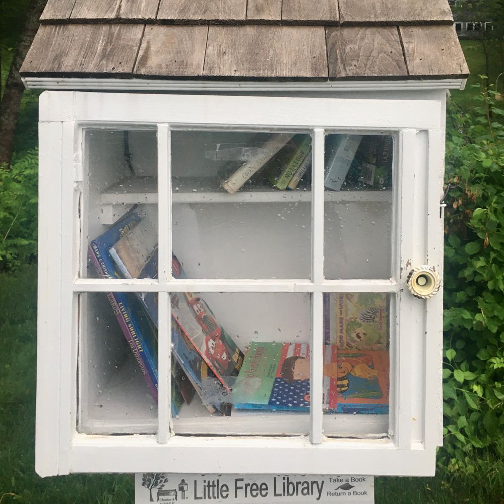
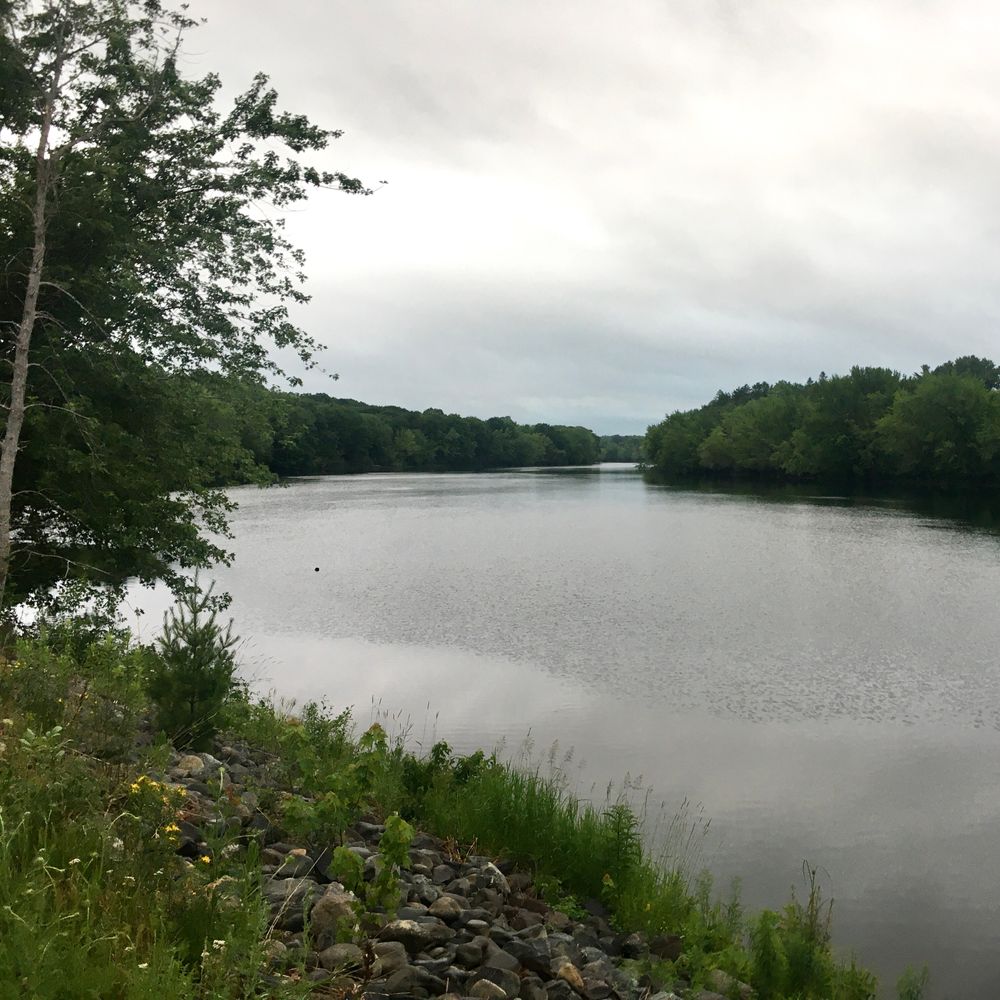
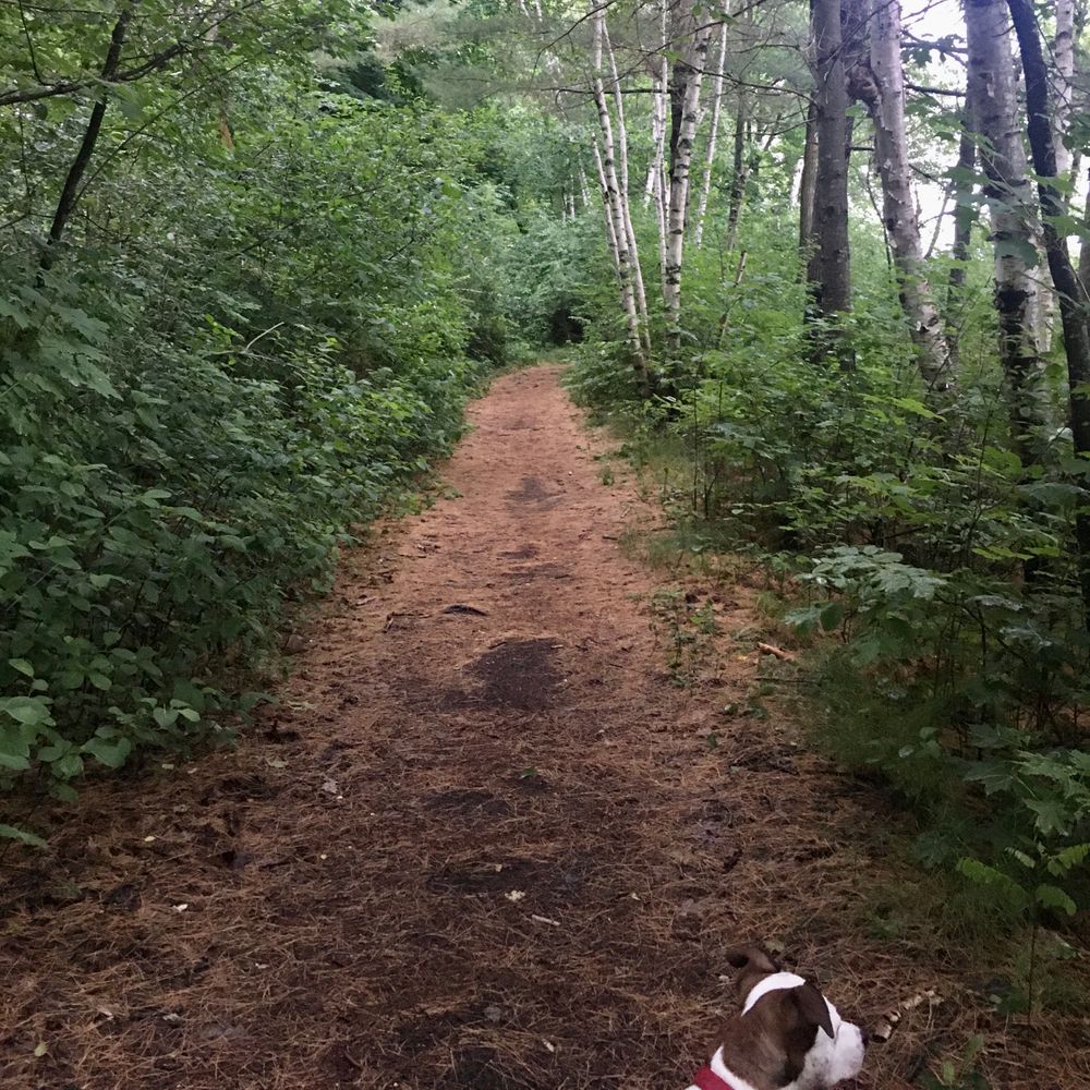
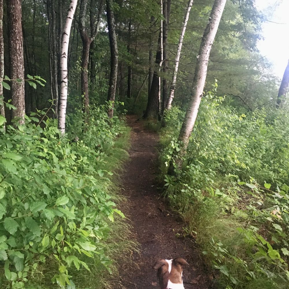
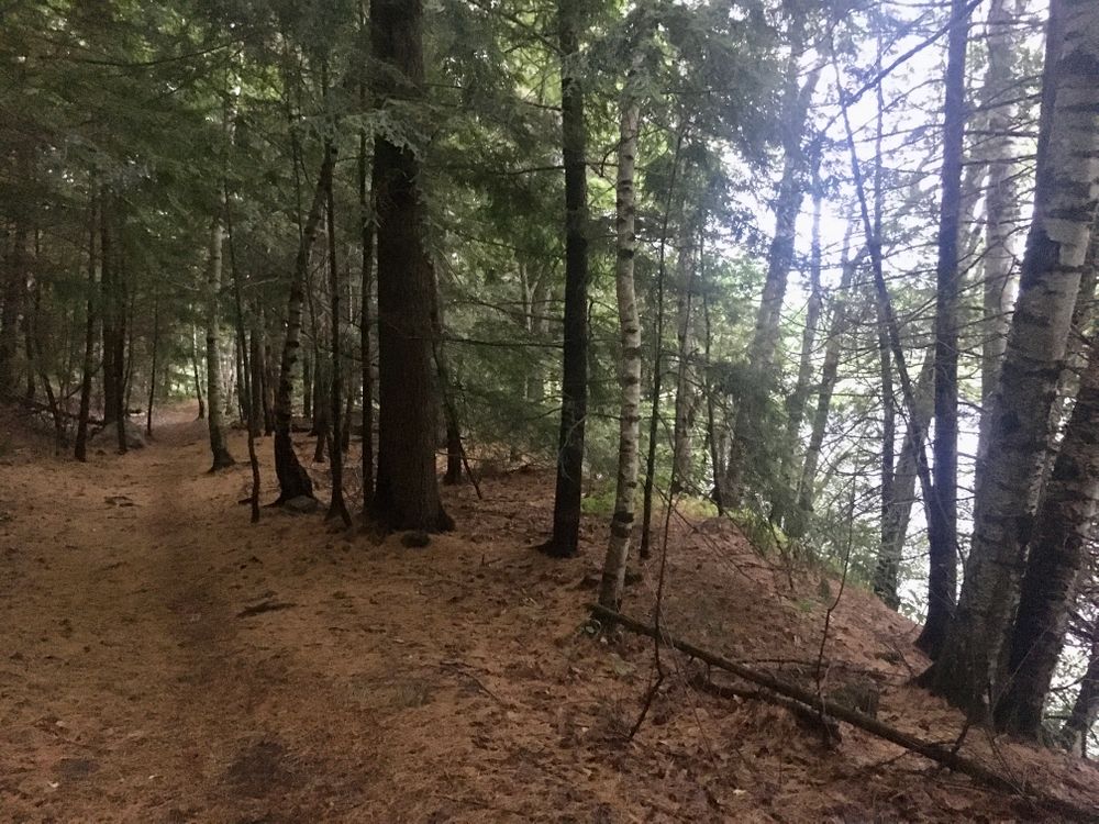
Pros: Neat walk overall; scenic river views and good footing. Two trash cans for dog waste. There’s a grassy area with bench close to the small boat launch which is nice.

Cons: No signs along trail to indicate where you are. Much of the trail is walking through private property with visible homes. No option for making a loop other than walking same trail back or walking on the road.
kwood93
May 29, 2020
Nice walk with good views of the Stillwater River along the way. About 3-4 miles roundtrip. It's all one trail so it's easy to follow and easy terrain.
These awesome businesses support our goal of connecting people to outdoor adventures in Maine!
Hang Tight!
Nearby services are loading
No Results
No Services Found
SHARE THIS TRAIL

Add Trail Log

Please wait…
Join In on the Fun!
Log in or create an account below to unlock all the great features of Maine trail finder: keep track of trails you want to do, preserve memories of trails you’ve done, earn badges, and more!
Your log in attempt was not successful. Please try again.
    Lost your password? Reset your password
    Don't yet have an account?
    There was an issue with your submission. Please try again.
      * Indicates required field
      Already have an account? Login here
      Enter your username, and we will send you a new, randomly generated password to your email account.
      There was an issue with your submission. Please try again.

        Success! A new password has been emailed to you.

        Log in now

        Please wait…