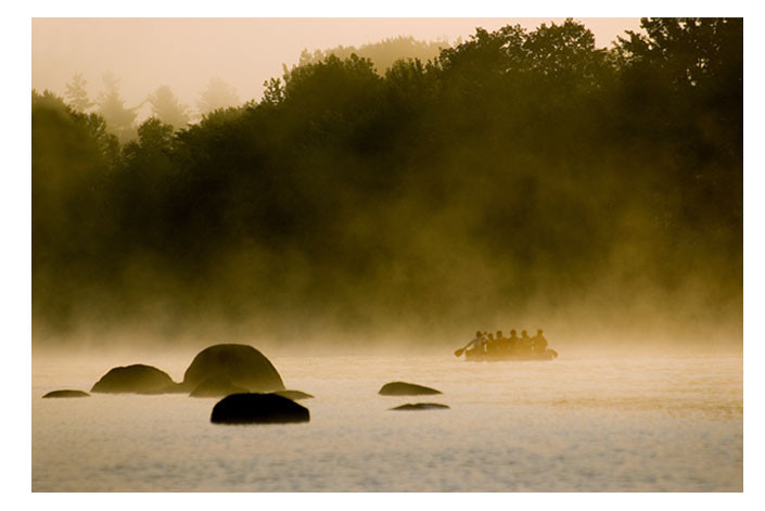
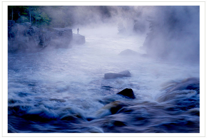
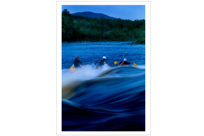
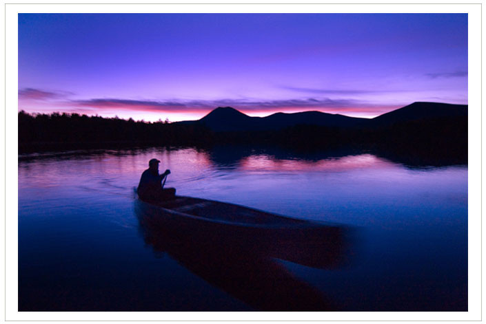
The East Branch of the Penobscot River is a wonderful, scenic, and historic waterway, but one to be treated with respect and caution. It can be dangerous at high water. Because of the whitewater skills required, it is not an advisable trip for beginners.
Camping along the East Branch is first-come, first-served. There are no fees associated with using the sites along the river. The land along both sides of the river is privately owned. Our ability to continue to use and enjoy the East Branch portage trails and campsites depends on each of us respecting the generosity of the landowners along the river. Please adhere to Leave No Trace principles -- only two of the tent sites (Upper East Branch and Haskell Deadwater) and the Grand Pitch Lean-to have privies.
Campfire permits are required, free, and available from the Maine Forest Service.
A waterproof, full-color map of the East Branch of the Penobscot River is available from The University of Maine Press. Portages, rapids, campsites, and other information important to canoeists are included, along with a historical overview of the region.
Visit Thoreau-Wabanaki Trail online for more information or contact:

The river can be accessed at four points along this trail: Matagamon Wilderness Camps, Bowlin Camps, Lunksoos Camps, and Whetstone Bridge. Directions to all of these points are given from I-95 Exit 264/Sherman.
For the northern access points: Head west on ME-158 toward Sherman Station; continue onto ME-11/Station Road north. In Patten, turn left onto ME-159 and follow past Shin Pond Village, where the road becomes the Grand Lake Road. To reach Bowlin Camps, turn left onto Bowlin Pond Road and follow south to its end. To reach Matagamon Wilderness Camps, continue on Grand Lake Road and the camps will be on the right before the river.
For the southern access points: Head west on ME-158; bear left onto ME-11/Grindstone Road west. In Stacyville, continue straight onto Swift Brook Road/Old Matagamon Tote Road. To reach Lunksoos Camps, go straight onto Seboeis Road at the intersection with Swift Brook Road. To reach Whetstone Bridge, turn left onto Swift Brook Road.
Success! A new password has been emailed to you.