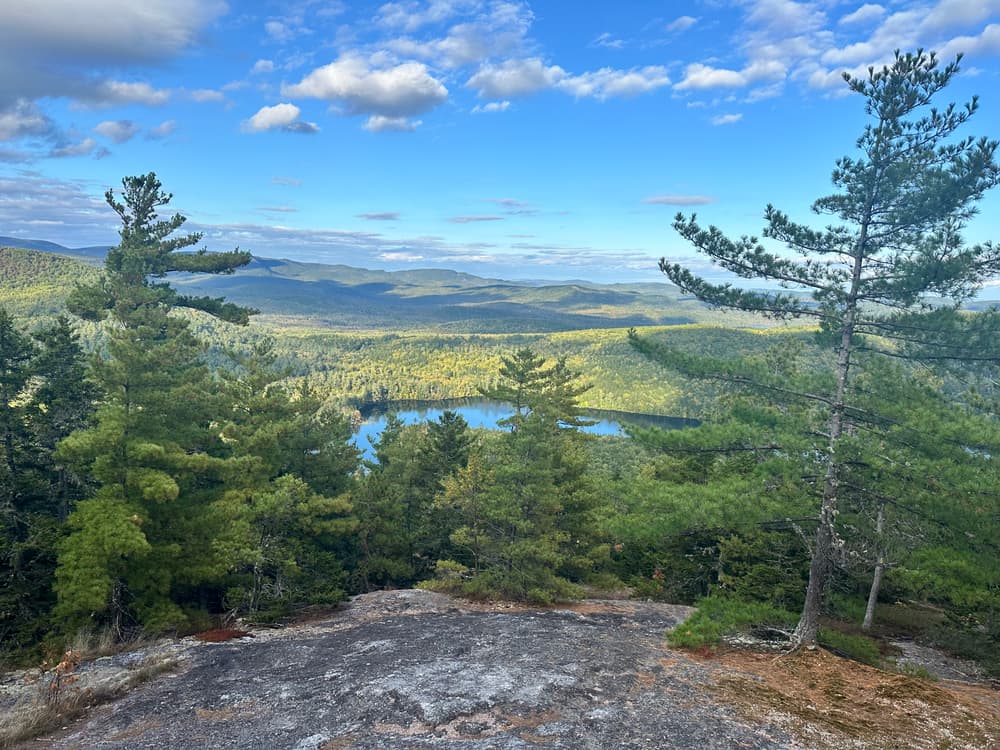
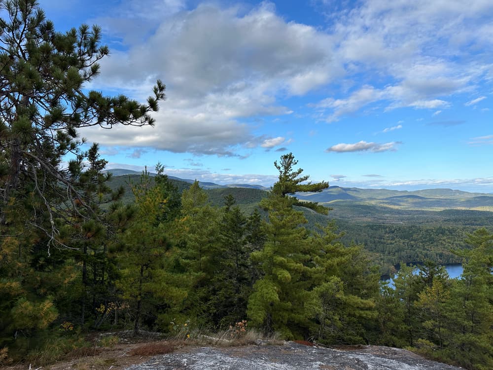
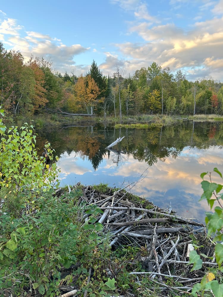
From the recommended parking location on the road near the dike, just off Deer Hill Road, this dirt road continues on and also serves as the Conant Trail. At 0.4 miles there is junction - the Conant Trail continues straight ahead and also turns right; creating what was once a viable loop option passing over Pine Hill with the option of continuing to Lord Hill. While both of these summits can still be reached by following the trail straight ahead, the right fork of the Conant Trail is currently impassible due to extensive flooding from beavers in the area. Continuing straight ahead, the trail follows the road for another 0.4 miles, crossing onto private land for nearly a quarter mile before returning to National Forest and arriving at the junction with the Mine Loop Trail. The Mine Loop Trail reaches Lord Hill in 1.0 miles; Lord Hill can also be reached by continuing on the Conant Trail for 1.1 miles (passing the Horseshoe Pond Trail at 0.9 mi). Pine Hill is 1.2 miles west of the summit of Lord Hill. Again due to flooding on the Conant Trail to the west of Pine Hill, it is recommended to return the same way via Mine Loop or the Conant Trail heading east.
If coming from Horseshoe Pond Trail, the trail follows gravel and grassy roads for much of the 1.1 miles before reaching the Conant Trail junction. At this point the Conant Trail starts its 0.2 mile ascent of Lord Hill. See the description above to continue to Pine Hill.
Visit the White Mountain National Forest online for more information or contact:

Keep It Quiet: Let nature be the soundtrack—avoid loud music and shouting.
The Lord Hill Network can be accessed from the west by the Conant Trail and from the east by the Horseshoe Pond Trail.
Conant Trailhead: Follow ME Route 113 either 16.8 miles north from Fryeburg or 13.2 miles south from Gilead. Windgan Raod leaves ME Route 113 on the eastern side 0.7 miles south of the Baldface Circle Trailhead on the eastern side of the road. Take Windgan Road, east 1.5 miles (becomes Shell Pond Road/Evergreen Valley Road) and take a right onto a short connecting Road (not shown on Google Maps), followed by a left. There is no formalized parking area - parking at the left turn or just beyond near a dike are the best options. From here, the hike begins by continuing down the road which is also the trail at this point.
Horseshoe Pond Trailhead: Follow directions above continuing past the right turn for another 3.1 miles to the trailhead on the right. Alternatively, from the east, take the West Stoneham Road from ME Route 5, heading toward Evergreen Valley. Continue on Adams Road (becomes Evergreen Valley/Shell Pond Road) for about 3.2 miles to reach the Horseshoe Pond Trailhead which is a small parking area at a curve in the road where the pond is visible. Please note that that former Horseshoe Pond Loop is now closed to public use, so there is no public access to the shore of this pond.
Success! A new password has been emailed to you.