The Bemis Loop is created by the Appalachian Trail (A.T.) and Bemis Stream Side Trail just to the south of the Height of Land on ME Route 17. Interestingly the Bemis Stream Trail was the original Appalachian Trail, but the A.T. was relocation between 1953 and 1964 up to the Bemis Mountain ridge where it is today. The loop is a one to two day hike. A one day hike of this loop would be an ambitious undertaking and most hikers find it more enjoyable to spending the night in the Bemis Mountain Lean-to for a two day experience.
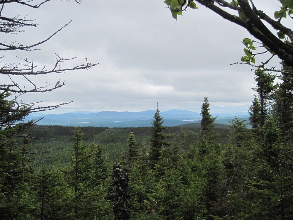
The easiest way of following the loop is to start along the Appalachian Trail and connect back to the ME 17 via the Bemis Stream Trail. To reach the Appalachian Trail Crossing from the parking area at Bemis Stream Trail, walk a half mile north on ME Route 17 and begin southbound on the A.T. Heading up to the Bemis Mountain Range, the trail first crosses Bemis Stream splitting around a small island. Hikers should expect to ford the stream twice (on either side of the island). After the stream, hikers will cross the old railroad grade of Rumford Falls and Rangeley Lakes Railroad (circa 1930) which serviced Oquossoc. From here the trail begins to ascend the Bemis Range while offering some great views on a clear day of the surrounding region. The trail climbs to First Peak and then Second Peak again allowing expansive views of the area. From the top of Second Peak the trail descends to the Bemis Mountain Lean-to at about 4.5 miles from ME 17 where hikers can enjoy a rest and the use of a privy.
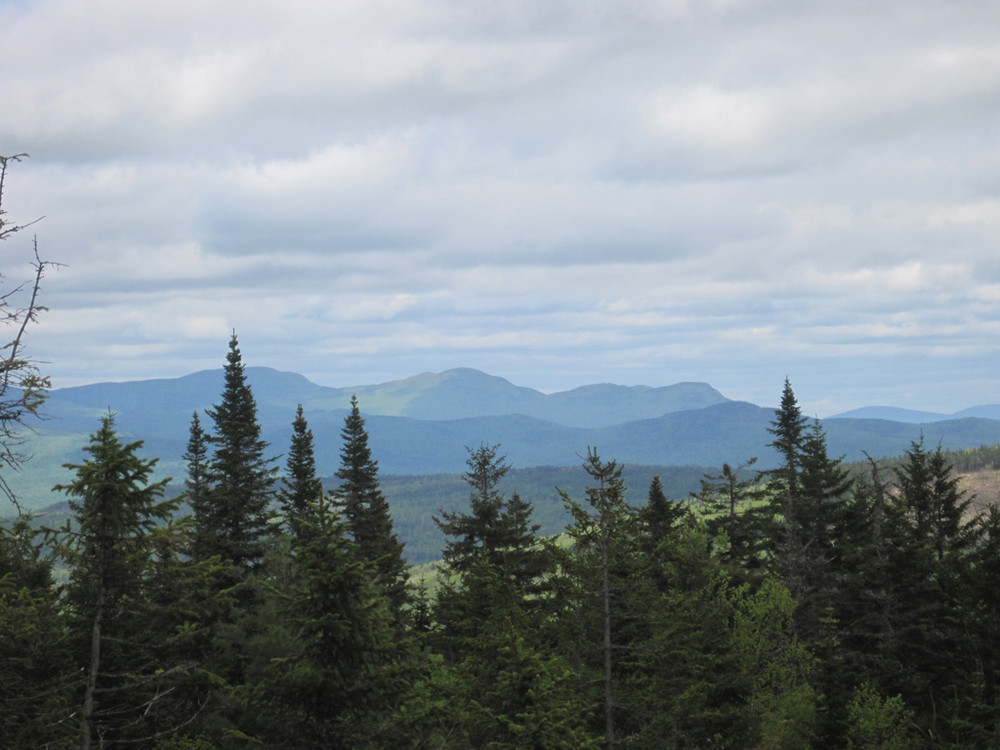
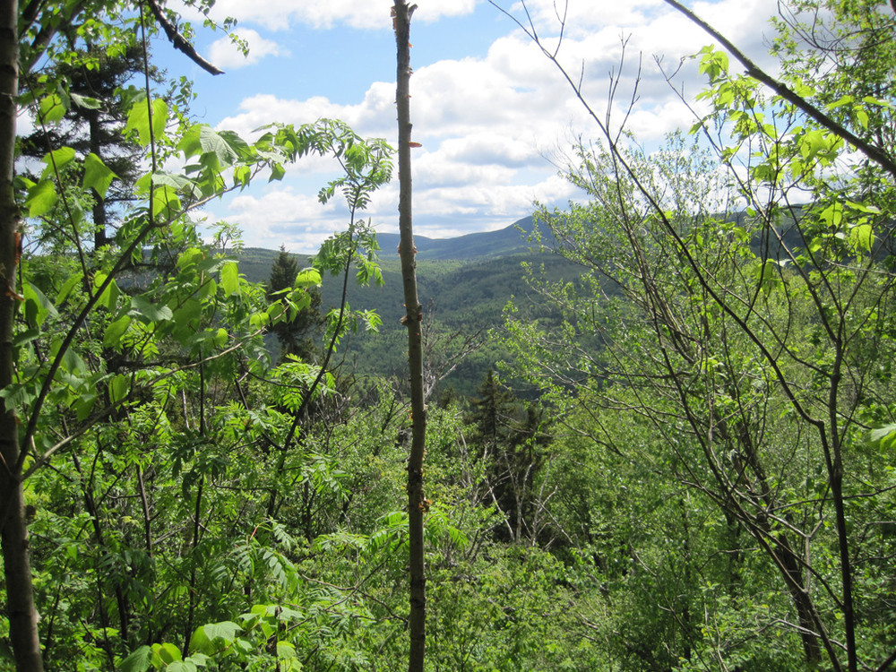
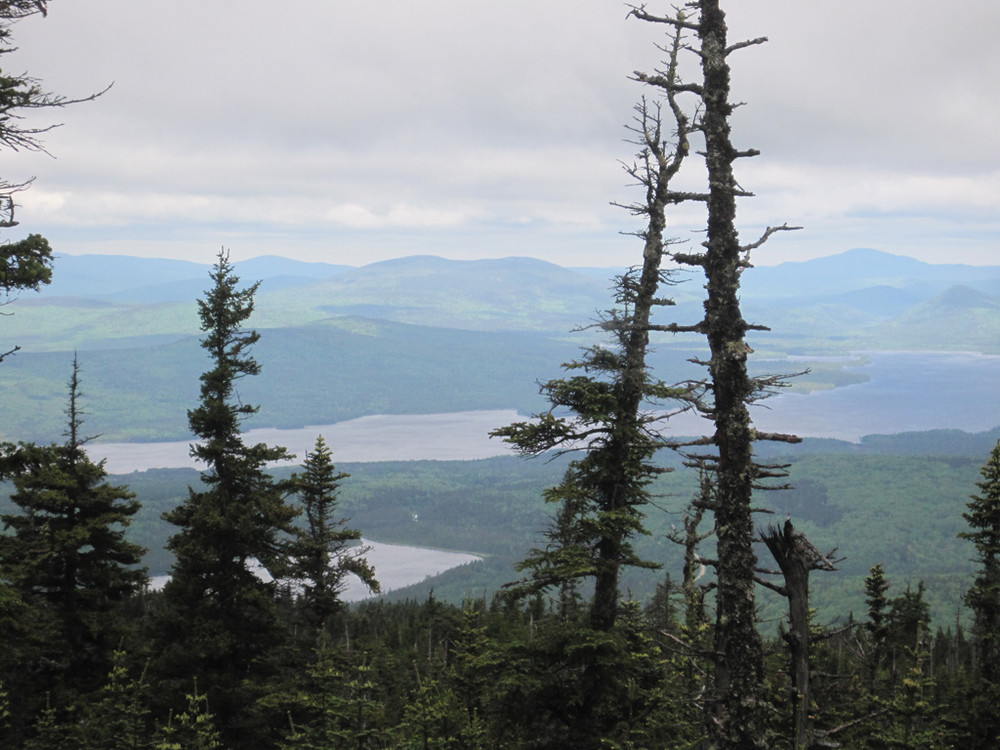
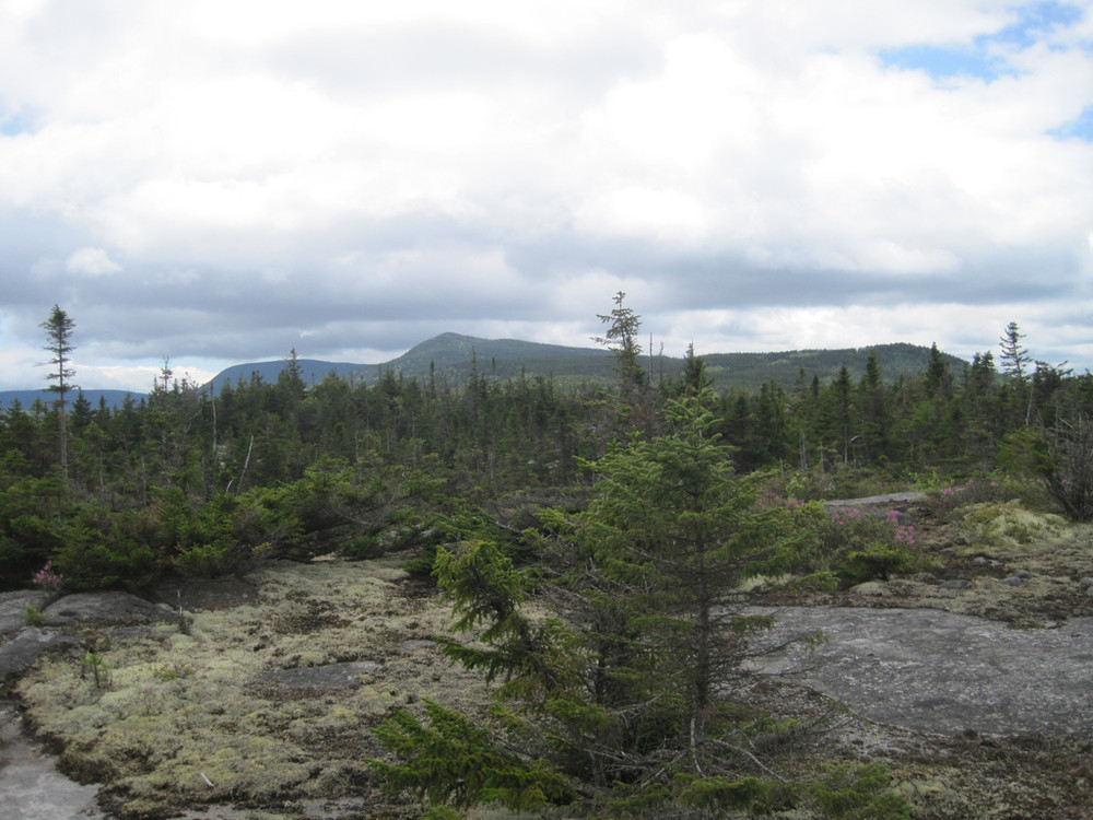
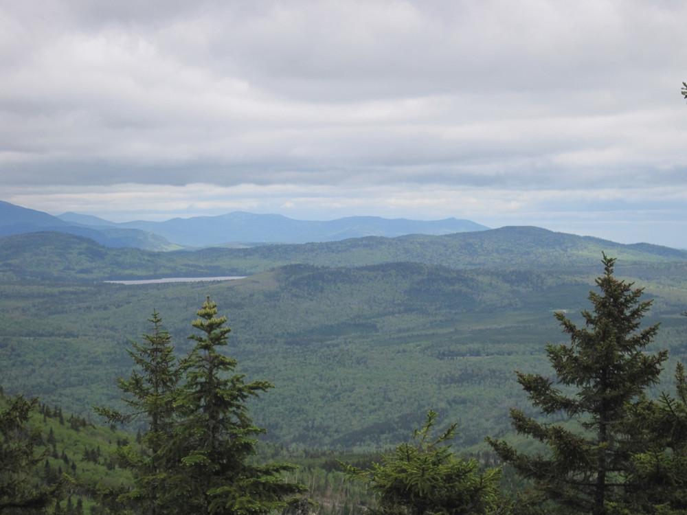
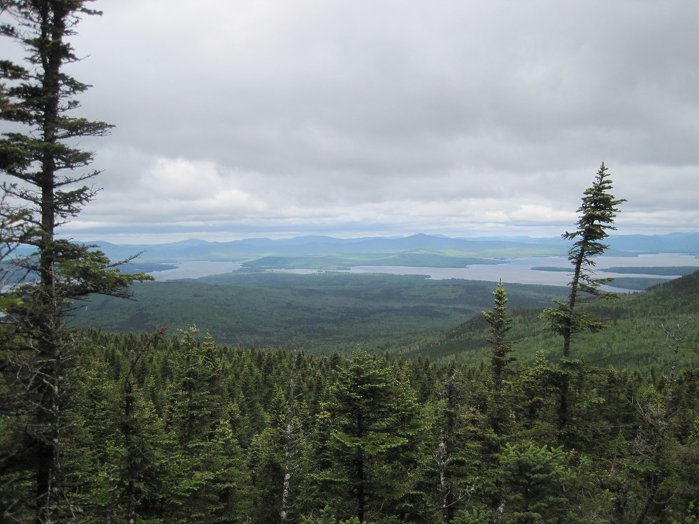
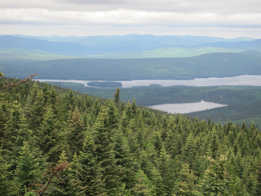
The trail continues southbound ascending to Third Peak and following a ridgeline averaging an elevation of 3000 ft up to Fourth Peak (sometimes called West Peak) which is the last and highest of the peaks in the Bemis Mountain Range. Long stretches of connecting ledges afford views of the Rangeley chain of lakes and most of the major peaks of Western Maine.
Shortly after this last peak is the junction with the Bemis Stream Trail on the left (southern) side of the trail. Create the loop by following the Bemis Stream Trail as it descends down into Bemis Valley, joining with and then following the Bemis Stream most of the way back to the road. There are multiple stream crossings and depending upon the season and weather, fording may be required. As the trail approaches ME Route 17 it leaves the stream and crosses the old railroad grade to return to ME Route 17 across from the parking area.
Do not underestimate the difficulty of hiking the mountains of Western Maine. Be sure to carry equipment and supplies necessary for this undertaking. If you do not have the information or skills, be sure to research and educate yourself in order to have an enjoyable and safe hike. Be aware of past, present, and predicted weather. Fires are only allowed in the provided fireplace ring at the Bemis Mountain Lean-to. In the state of Maine, it is illegal to build a fire anywhere except within a certified fire ring.
The Maine Appalachian Trail Club (MATC) is an all volunteer organization that exists to maintain and protect the 267-mile section of the Appalachian Trail in Maine extending between Katahdin in Baxter State Park and Grafton Notch at ME Route 26. In addition, MATC maintains over 60 miles of side trails as well as a system of regularly spaced shelters and campsites in order that wild, backcountry hiking remains accessible in Maine. MATC publishes The Official Appalachian Trail Guide to Maine, which includes seven maps, please visit their website for information on how to purchase the guide or to learn more about becoming a member of MATC.
Please contact the Baldpate District Overseer by email (baldpate@matc.org) to report any trail or shelter conditions that may require maintenance or special attention.
Visit Maine Appalachian Trail Club online for more information or contact:

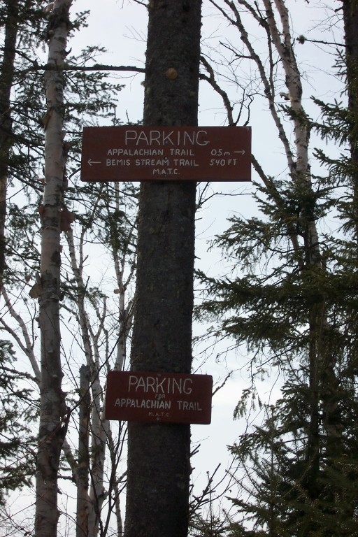
There are two access points to this trail loop. One is the Appalachian Trail crossing at ME Route 17 and the other is also on ME Route 17 just to the south. The Appalachian Trail crosses ME Route 17 approximately 26 miles north of Rumford or 11 miles south of Oquossoc. Though the trailhead follows the Appalachian Trail southbound there is no parking in the nearby overlooks. There is limited parking available a half-mile south (towards Rumford) of the Appalachian Trail crossing at the trailhead for the Bemis Stream Trail. The parking area is located opposite the sign for the Bemis Stream trailhead.
The Bemis Stream Trail, side trail off of the Appalachian Trail, is closed. Check with MATC to find out about plans for reopening the trail.
Success! A new password has been emailed to you.