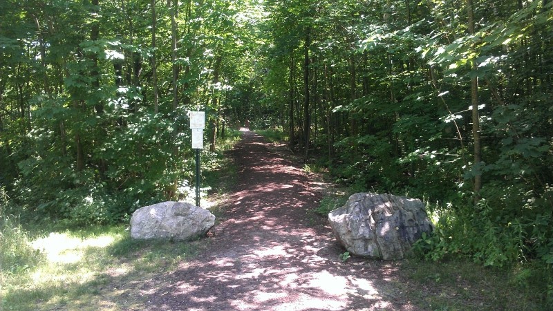
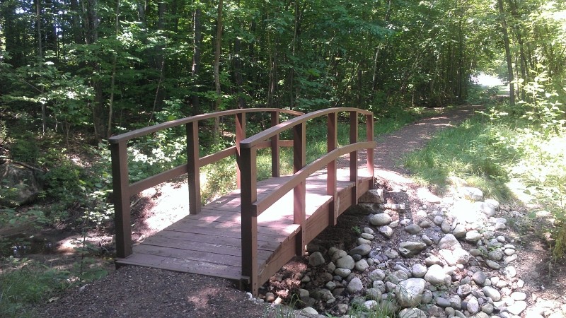
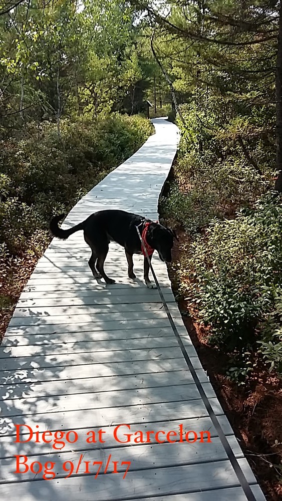
The first trail into Garcelon Bog follows a boardwalk that highlights the natural features of the property. On both sides of the boardwalk lies peat moss that plays an important role in filtering storm water runoff. The peat bog cleans water by getting rid of sediments and pollutants as the water flows through on its way to the Androscoggin River. The bog is a unique ecological feature in the City and contains a variety of natural habitat types including forested, open, and emergent wetlands that support a wide variety of plant and animal species.
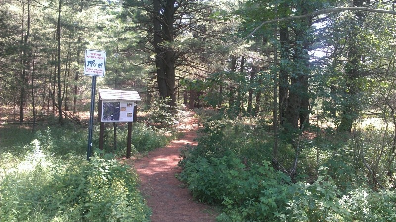
The second trail runs between Jeannette Avenue and Warren Avenue, providing a non-motorized thoroughfare from downtown Lewiston to outlying neighborhoods. The trail passes through a mixed hardwood forest but the bog can be seen to the north of the pathway.
The Garcelon Bog is owned by the City of Lewiston, and with a conservation easement held by Androscoggin Land Trust, protects over 100 acres of ecologically significant wetland in the heart of the second largest urban area in Maine.
Visit the City of Lewiston online for more information or contact:
Boardwalk Trailhead: From the intersection of Russell Street and Sabattus Street/ME Route 126 in Lewiston, follow Russell Street east/south (signs also indicate Farwell Street) and turn left to continue on Russell Street. Follow Russell Street to the cul-de-sac at its end. Park here and look for the trail leaving from the road.
Warren Avenue Trailhead: From the intersection of Russell Street and Sabattus Street/ME Route 126 in Lewiston, follow signs for Farwell Street and continue straight onto Farwell Street 0.4 miles to Warren Avenue. Turn left onto Warren Avenue and follow it to its end. This section of trail can also be accessed from Jeanneatte Avenue.
Success! A new password has been emailed to you.