Gibson Preserve

This 165 wild acres on the St. George River in Searsmont has a four-mile trail network with great summer hiking and winter cross-country skiing and snowshoeing opportunities.
Trail Activity
Accessible Adventure Snowshoeing Walking Hiking
Length
2.90 miles, Network
Difficulty
Easy, Moderate
Town
Searsmont
Surface
Dirt/Forest Floor, Grass
Pets
Permitted
Fees
No

Description

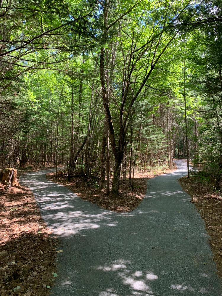
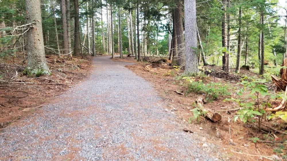
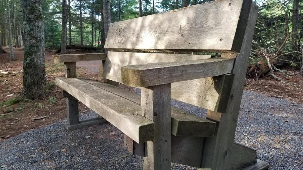
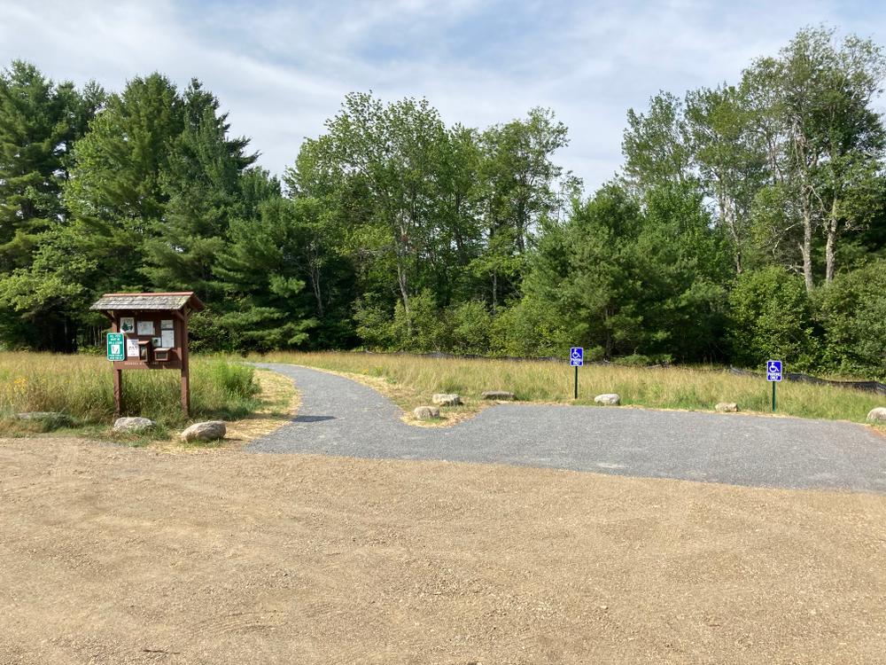
The Gibson Preserve, 165 wild acres on the St. George River in Searsmont, is owned and managed by the Georges River Land Trust. The Preserve has a 3.9-mile trail network with great summer hiking and winter cross-country skiing and snowshoeing opportunities. From the north parking lot, there is a 5-foot wide, 0.4 mile lollipop loop with a compacted gravel surface that is suitable for wheelchairs and strollers. 

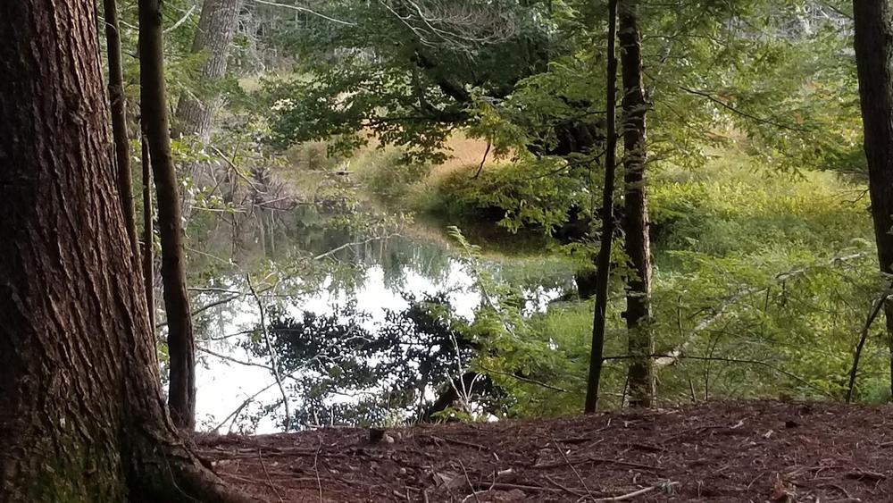
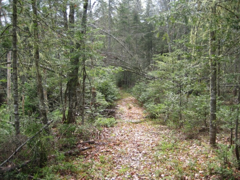
The property supports spruce-fir forest, meadows, and fields and has over one mile of frontage on the St. George River. The forest here is relatively even-aged and is estimated to be about 40-50 years old. The large softwood stumps are evidence of past harvesting. A natural resources inventory found five amphibians, three reptiles, 59 birds, and 14 mammal species. The Gibson Preserve is managed for high quality wildlife habitat.

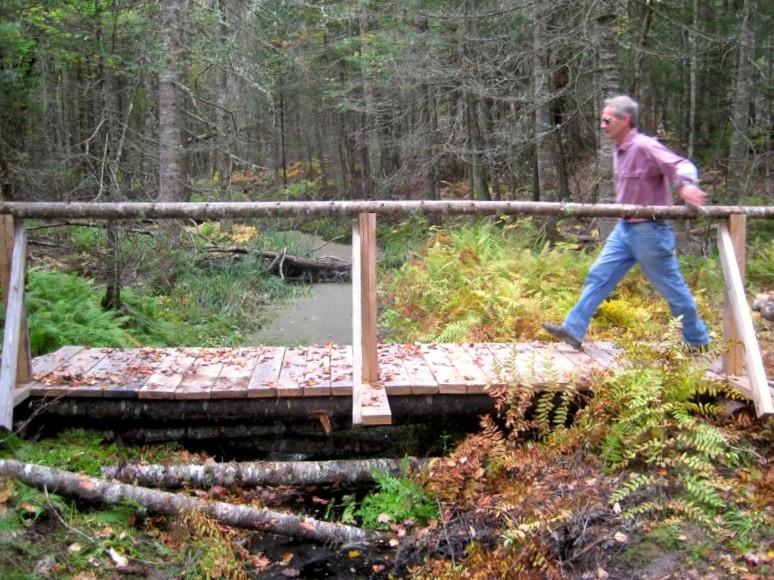
Read about MTF Accessibility Ambassador Enock Glidden's visit to the Gibson Preserve using his wheelchair at MTF Stories.

Other Information

The Gibson Preserve is open to the public for day-use only; no overnight camping is allowed. Hunting is NOT permitted. 

Leashed dogs are permitted. Please clean up after your pet!

Trail Manager

Visit Georges River Land Trust online for more information or contact:

Georges River Land Trust

Georges River Land Trust
8 North Main Street, Suite 200
Rockland, ME 04841
Phone: (207) 594-5166
info@grlt.org
View website

Nearby Events

VIEW EVENTS CALENDAR

Trail Tips

Plan Ahead and Prepare
Be prepared to find your way home. Familiarize yourself with the area before you set out and bring your map and compass along.
Legend
Hide All

Trailhead Information

The Gibson Preserve is bisected by the St. George River and there are trails on each portion of the property. Currently, though, there is no simple way for visitors to get from one side of the river to the other. Rest assured, we are working on this from many different angles. Until then….

The north side of the property can be accessed from a parking lot off ME Route 173 (Woodmans Mill Road) in Searsmont. From the center of Searsmont (Fraternity Village Store), head west on ME Route 173. Travel 3 miles to the parking lot on the left. This parking lot has two reserved accessible spaces.

A 15-acre parcel of land hosts the south side access point to the Georges Highland Path at the end of Cedar Lane in Appleton. From the center of Searsmont (Fraternity Village Store), head west on Route 173 (Woodmans Mill Road). Travel 3.1 miles to West Appleton Road and turn left. Continue for 1.1 miles and turn left onto Cedar Lane. Park at the end of the road and walk to the kiosk at the beginning of the trail.

Click on a parking icon to get custom directions
Please Log In or Create Account to add comments.
enockglidden
September 26, 2022
Hi GRLTTRAILS. I was just at Gibson Preserve last week. What an amazing place. The trail is so well done. I will be writing that one up soon to tell everyone about it on MTF. It looks like I need to go back to hit all these other places you mentioned.
grlttrails
July 29, 2022
This preserve is divided in two by the St. George River. The northern side of the preserve is accessed from 173 and has about 1 mile of trail. 0.4 miles of which are now a 5 foot wide accessible trail suitable for wheelchairs, strollers and the like! Not shown here the southern half is accessed from Cedar lane, a short drive around the preserve and over a bridge on West Appleton Road. There's about a mile of trail there too, and then 4.5 more miles if you hike off onto the Ridge to River Trail which will eventually take you out to Ghent Road, or much closer next to Ripley Corner Rd where the Frye Headwaters Trail begins along 173 and heads north to Route 3 and eventually Frye Mountain. Give Georges River Land Trust a call if you have any questions there are a lot of trails out there!
These awesome businesses support our goal of connecting people to outdoor adventures in Maine!
Hang Tight!
Nearby services are loading
No Results
No Services Found
SHARE THIS TRAIL

Add Trail Log

Please wait…
Join In on the Fun!
Log in or create an account below to unlock all the great features of Maine trail finder: keep track of trails you want to do, preserve memories of trails you’ve done, earn badges, and more!
Your log in attempt was not successful. Please try again.
    Lost your password? Reset your password
    Don't yet have an account?
    There was an issue with your submission. Please try again.
      * Indicates required field
      Already have an account? Login here
      Enter your username, and we will send you a new, randomly generated password to your email account.
      There was an issue with your submission. Please try again.

        Success! A new password has been emailed to you.

        Log in now

        Please wait…