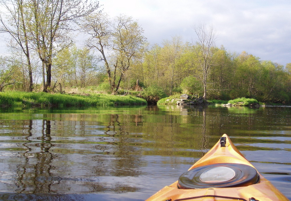
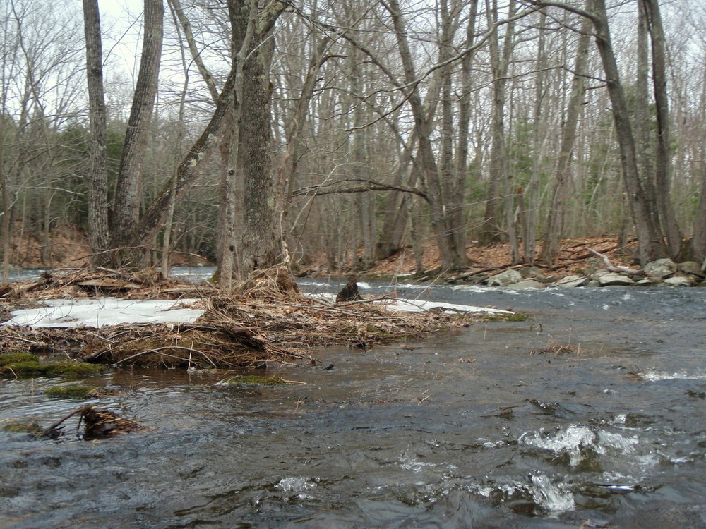
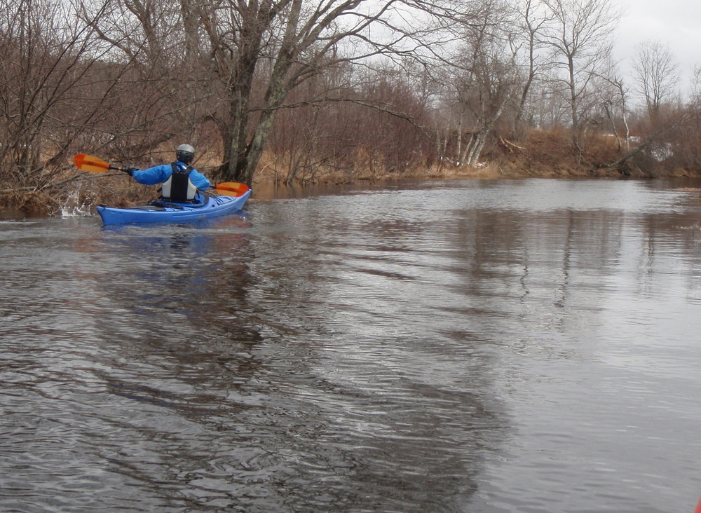
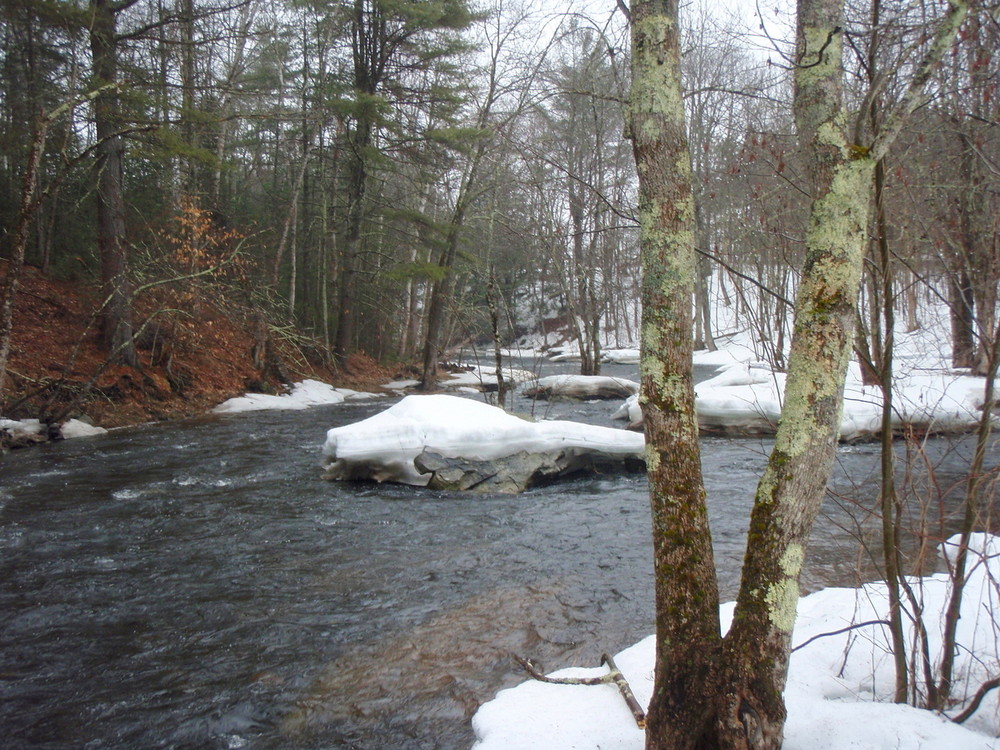
While the Passy is one of the easier whitewater rivers in midcoast Maine, the level can vary dramatically from day to day, and especially because it is a narrow river, overhanging branches and strainers can create hazards. The Passy mostly consists of flatwater, quickwater, and Class I whitewater. However, the Young’s Rapids and Rolerson Rapids can require quick maneuvering and precise lines, depending on the water level. Beginning and intermediate paddlers should make sure to be properly equipped and that skills match water conditions. Especially when water temperatures are cold, those paddling the river for the first time should seek to join more experienced paddlers. Even those with experience on the river need to be aware of new blowdowns, which may create strainers at critical places on this narrow river.
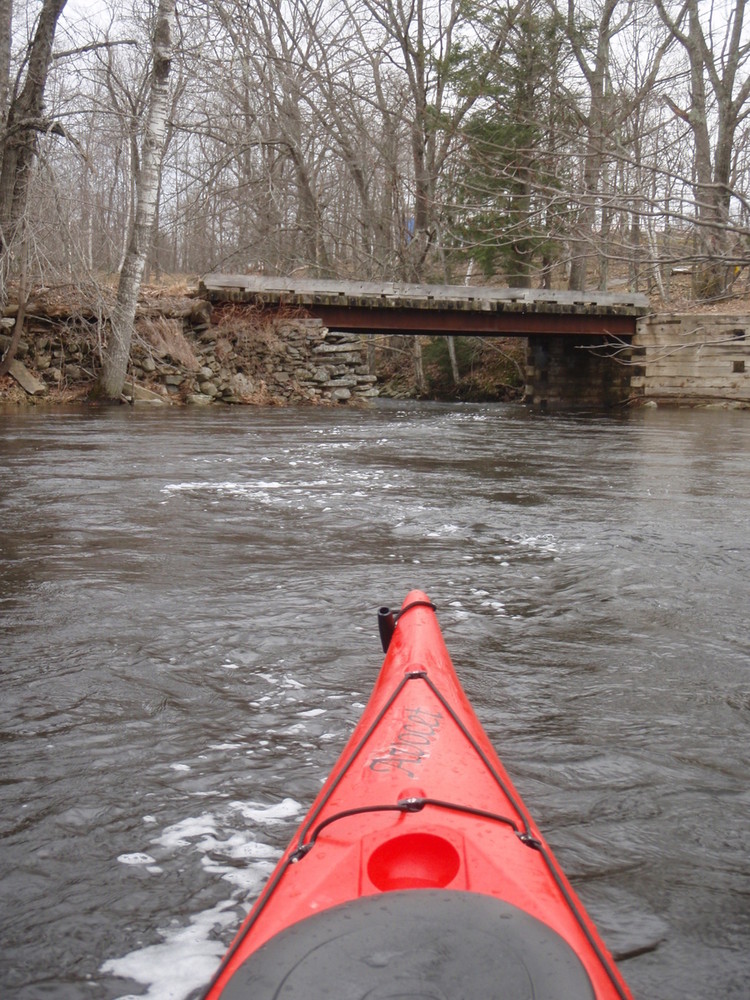
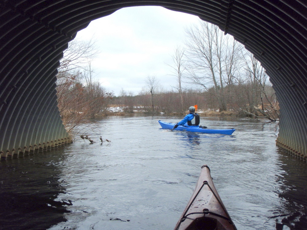
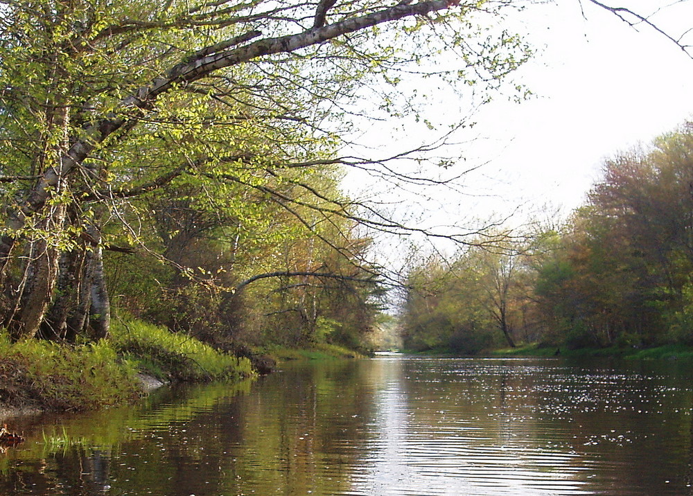
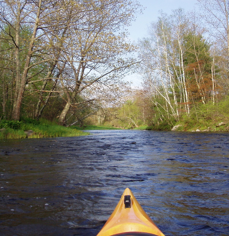
The Passy River Race starts on the north (upstream) side of the bridge on the Whitcomb Road. After passing through a large double culvert, the river, which is only a dozen yards wide here, is flatwater with a number of tight turns. At about 0.2 miles from the start, look for a narrow “shortcut” on the left. The main channel of the river appears to go straight here. The shortcut channel is shorter, straighter, and often deeper, though it can be brushy overhead. The river gradually widens but remains flatwater for another 0.5 miles where it passes under a bridge on the Poors Mills Road. From the bridge, the river continues 0.7 miles to the first rapid. Here the river swings to the left and then sharply to the right over a Class II drop. The drop is an old mill site known as “Snowmobile Bridge” or “Young’s.” The river is narrow here and the drop can be run left, right, or center, depending on level and depending on your intended route through the rapids below. Following the drop, the river is relatively fast, narrow, and has some rocks to be avoided. 50 yards below the drop, the river splits into three channels. The channels on the right and left are brushy, so the center channel is typically best, even if it requires a 10-yard portage, which it sometimes does at low water. Once through the center channel, the river widens to a pool. Look for a shortcut channel on the right here. If the shortcut is not available, follow the main course of the river left which then sweeps in a big turn back to the right. From here it is flatwater and Class I for another 1.2 miles to Rolerson Bridge.
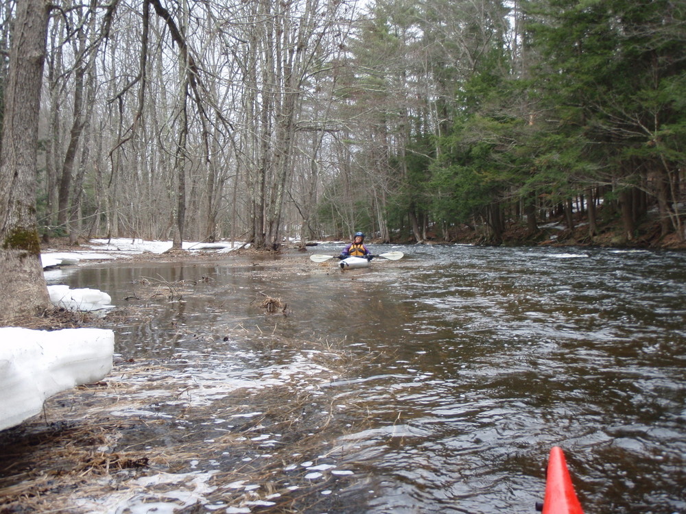
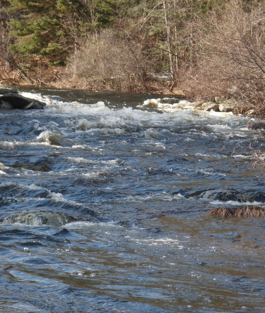
The Rolerson Bridge begins a 2.0 mile stretch of quickwater and rapids, consisting of mostly Class I and easy Class II. After passing under the bridge, work your way between a few rocks and then stay slightly to the left of the wave train at center so as not to be swept into the bushes on the right. From there, it is “read and run” with rocks to dodge and with the best lines dependent on water levels.
At 0.3 miles below the Rolerson Bridge, the river splits into 3 channels. This section can be run left, right, or center at medium level or higher. (The route on the left is rocky at lower levels.) In another 0.1 miles you will pass under the Turkey Farm Road Bridge. Below here is a shallow Class I rapid with a lot of rock dodging when the river level is on the low side of medium. Stay right the first time the river splits and keep left at the second split. In places the channel is very narrow with overhanging branches.
At 0.7 miles below the Turkey Farm Road Bridge, you will pass under a second farm bridge. From here the river is wider and the current slows a bit. Old mill sites create small drops in a few places. At 4.9 miles from the start, the river bends sharply to the left. After a final easy mill drop just beyond the turn, the river flattens and widens as it stretches another 0.5 miles to the finish.
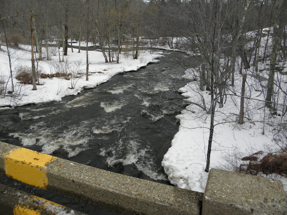
Flow information: There is no river gage on the Passagassawakeag, but the flow of the Ducktrap River, about 10 miles away, is a good indicator. Generally if the Ducktrap Gage is above 100 cfs, the level will be at least medium on the Passy. The Rolerson Bridge is a good place to gauge whether the water level is too low (Is there enough water to pass through the rocks just downstream of the bridge?) or too high (Is the river flooded well up onto the lawn on the left as you look downstream of the bridge?). Since this rapid typically offers the biggest waves on the river, it is also a good place to assess whether river conditions are within your skill level.
The Passy River Race is, by tradition, held on the first Saturday in April and is the second in the series of spring whitewater river races in Maine. Sponsored by the Waldo County YMCA, this annual race has been a rite of spring since the early 1970s. Passagassawakeag is a Maliseet word meaning “place for spearing sturgeon by torchlight.”
Check out these videos to get a sense of the river: Passy in November and Springing Down the Passy.
Information on this paddling route is provided by the Maine Canoe & Kayak Racing Organization (MaCKRO). MaCKRO promotes paddling & racing for paddlers of all ages and abilities throughout Maine and New England. Join MaCKRO to help expand the sport of racing canoes, kayaks, and SUPs.

This section of the Passagassawakeag River begins at a bridge on the Whitcomb Road / Savage Road in Morrill and ends along the Shepard Road, about 3 miles from downtown Belfast.
To access the river from Belfast, take Route 137 north several miles to a four-way intersection (Route 7 traffic turns to the right). Turn left onto the Shepard Road and continue about 0.4 miles. The open field with some trees on your right is the take out (just past the red shed is a driveway on the left - the put-in field is directly across from this driveway). You will see the river beyond the field. If you are shuttling, you can leave a car or bicycle here.
Continue another 1.4 miles on the Shepard Road, then turn right onto Poors Mills Road. Continue another 0.6 miles to the Rolerson Bridge over the Passy. Here you may want to park and scout the Rolerson Rapid, the first 100 yards of which is visible from the bridge.
From the bridge, continue west on Poors Mills Road for another 1.4 miles, then turn right onto Whitcomb Road (aka Savage Road) and continue an additional 0.5 miles on this dirt road to the put-in. Park along the road, and launch from the riverbank on the southwest corner of the bridge.
Success! A new password has been emailed to you.