Pettingill Park Trail

This trail follows uneven terrain through ravines for a short, pleasant forested loop.
Trail Activity
Snowshoeing Hiking
Length
0.50 miles, Loop
Difficulty
Moderate
Town
Auburn
Surface
Dirt/Forest Floor
Pets
Permitted
Fees
No

Description

The trail starts off behind the Ingersoll Ice Arena by crossing a wooden bridge which is slanted due to erosion, but is stable. The trail starts off rough but becomes clearer and better maintained, though there are several steep uphill sections. When you get to the crossroad, you can either turn left or right to follow the loop in either direction. Leaving to the right, the trail begins to curves left and then takes a steep downhill. This is the first of many up and downs along the trail. There are some unofficial established trails that cross the main trail; however, the main trail is blazed in white/light-blue and easy to follow.

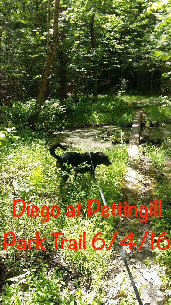
Wooden bridges take you through varied forests with hardwoods, conifers, wetlands and streams. Depending on the time of year, the understory may include lush green ferns or even red trillium.

Trail Manager

Visit City of Auburn Parks and Recreation or LA Trails, a program of the Androscoggin Land Trust, online for more information or contact:

Androscoggin Land Trust

Androscoggin Land Trust
86 Main Street, Suite 201
PO Box 3145
Auburn, ME 04212
Phone: (207) 782-2302
View website

City of Auburn

City of Auburn
Hasty Community Center
48 Pettengill Park Road
Auburn, Maine 04210
Phone: (207) 333-6601
auburnrec@auburnmaine.gov
View website

Nearby Events

VIEW EVENTS CALENDAR

Trail Tips

Plan Ahead and Prepare
Be prepared to find your way home. Familiarize yourself with the area before you set out and bring your map and compass along.
Legend
Hide All

Trailhead Information

The Pettingill Trail leave from behind the Hastings Community Center/Ingersoll Ice Arena off of Pettingill Park Road in Auburn. Parking is available to the right of the Ingersoll Ice Arena and the trail head is located to the right of the back of the building.

Click on a parking icon to get custom directions
Please Log In or Create Account to add comments.
chrisc
May 10, 2023
I traveled these trails when I was a kid about 20-25 years ago. They are nearly indistinguishable from what they once were. Many of the waterways have dried up. I agree with the 2016 comment about markers leading to peoples backyards and to follow the white ones. Still beautiful! Using these for field research assignments in college and graduate school. Tremendous biodiversity over late spring and summer!
chasfranklin
June 04, 2016
Follow the white blazes, not the red ones. The red ones lead into people's back yards.
These awesome businesses support our goal of connecting people to outdoor adventures in Maine!
Hang Tight!
Nearby services are loading
No Results
No Services Found
SHARE THIS TRAIL

Add Trail Log

Please wait…
Join In on the Fun!
Log in or create an account below to unlock all the great features of Maine trail finder: keep track of trails you want to do, preserve memories of trails you’ve done, earn badges, and more!
Your log in attempt was not successful. Please try again.
    Lost your password? Reset your password
    Don't yet have an account?
    There was an issue with your submission. Please try again.
      * Indicates required field
      Already have an account? Login here
      Enter your username, and we will send you a new, randomly generated password to your email account.
      There was an issue with your submission. Please try again.

        Success! A new password has been emailed to you.

        Log in now

        Please wait…