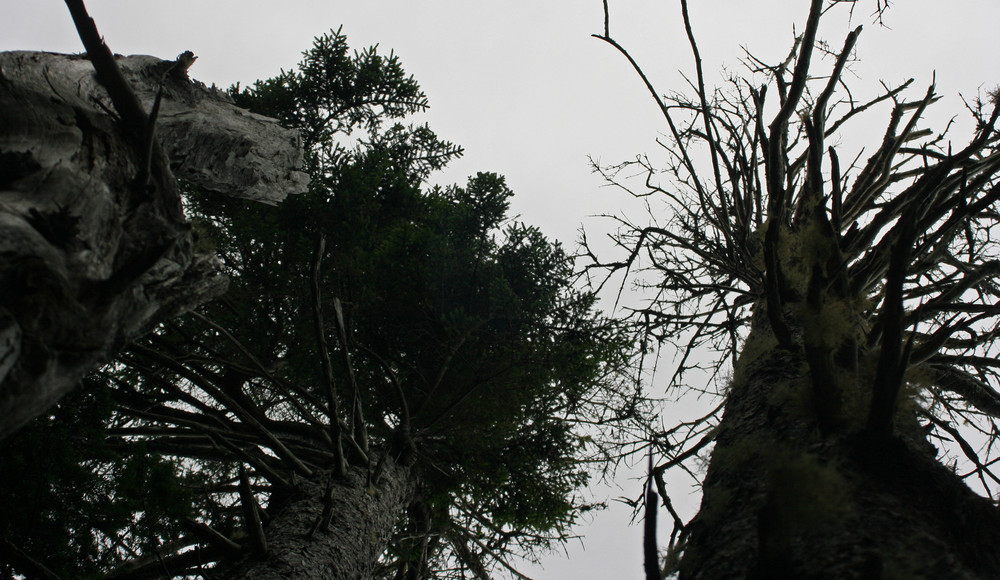
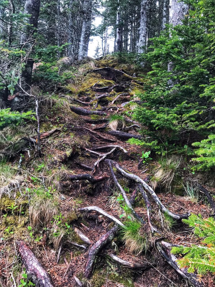
Inland Trail (0.75-mile loop, easy): The shortest trail option leaving directly from the trailhead is the Inland Trail (0.75-mile round trip), which offers a moderate walk on a gravel base through conifer woods rich in mosses and lichens, leading steadily uphill to High Ledge and Gulliver's Hole.
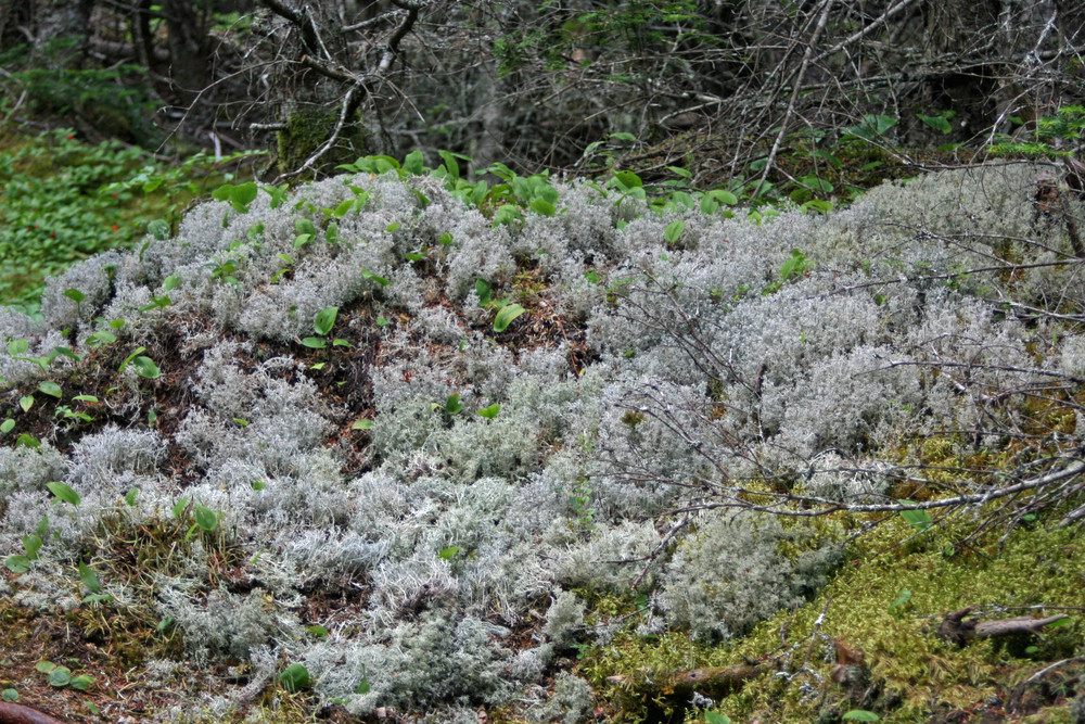
Bog Trail (0.2 miles, easy): The Bog Trail (1 mile round-trip from trailhead), off the Inland Trail, has raised boardwalk and interpretive signs describing the adaptation of how the plants thrive in high levels of acidic water and few nutrients. Please stay on raised boardwalk to prevent damaging the fragile bog plants. This trail goes through a heath with sub-arctic and arctic plants rarely seen south of Canada.
Thompson Trail (1.1 miles, easy): The Thompson Trail offers a fairly level wooded route through a mixed growth forest running inland between the Bog Trail and Coastal Trail. At Carrying Place Cove, hikers can enjoy 1200 feet of sandy beach.
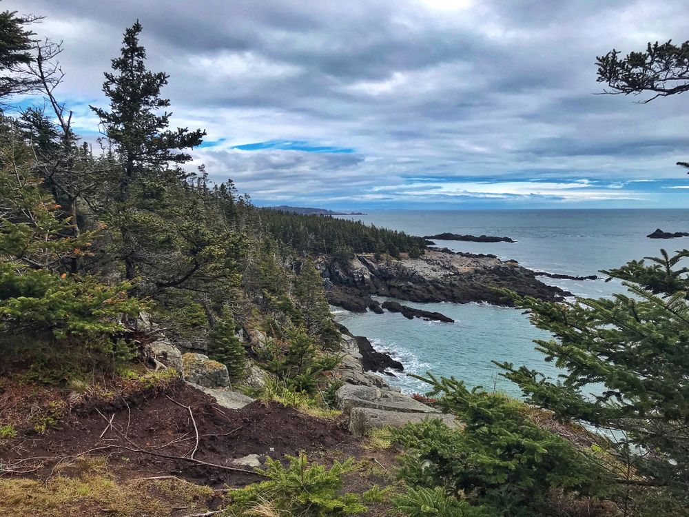
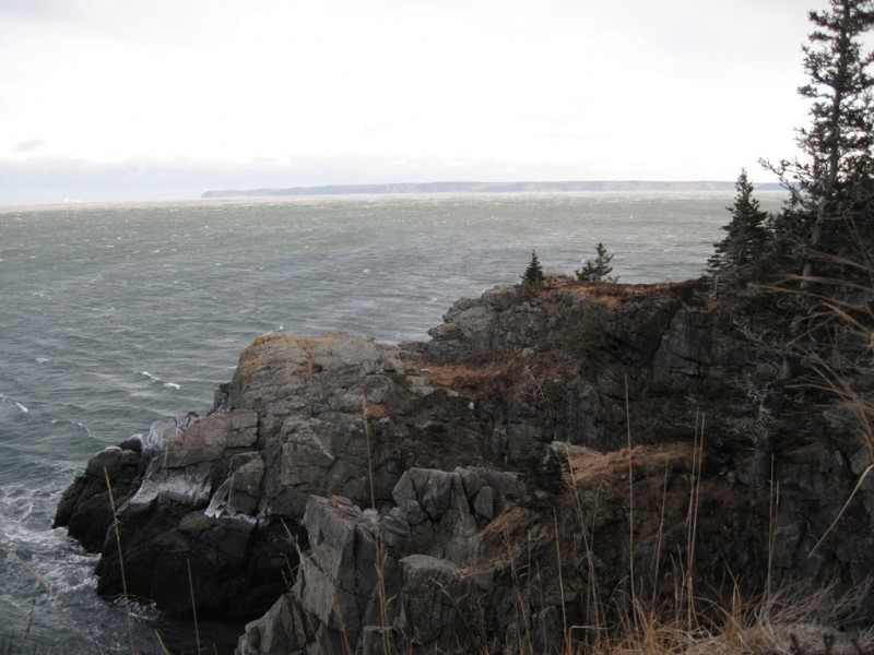
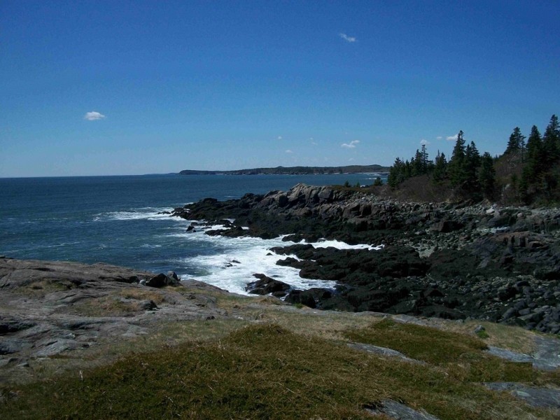
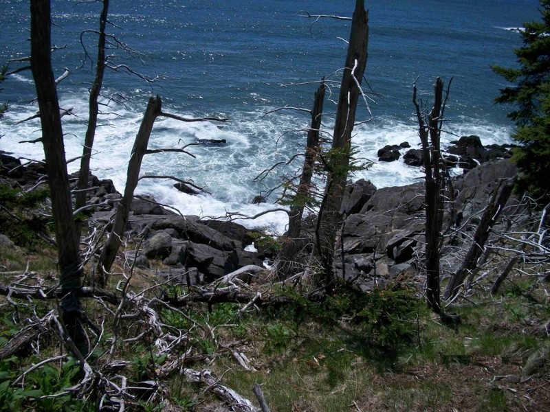
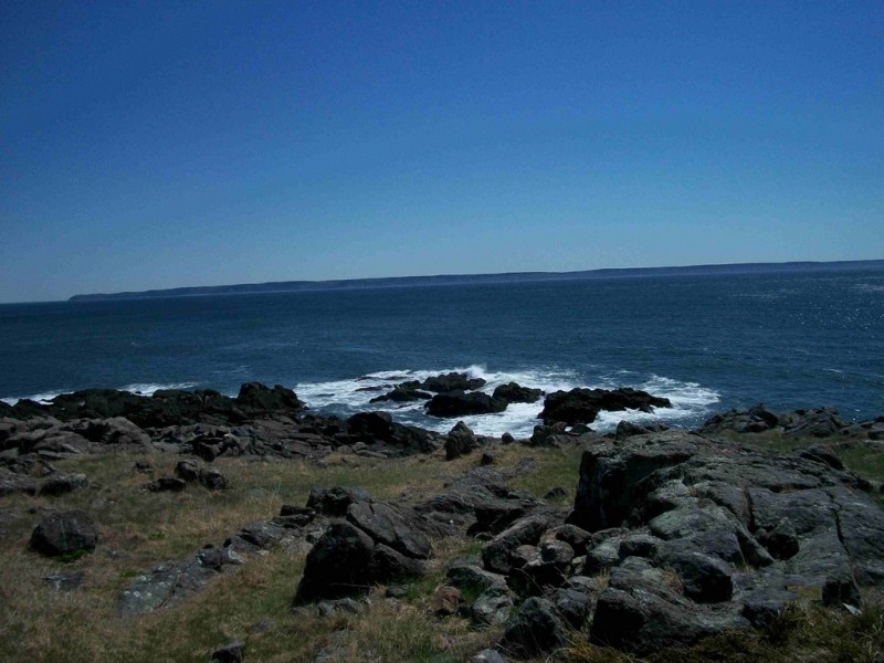
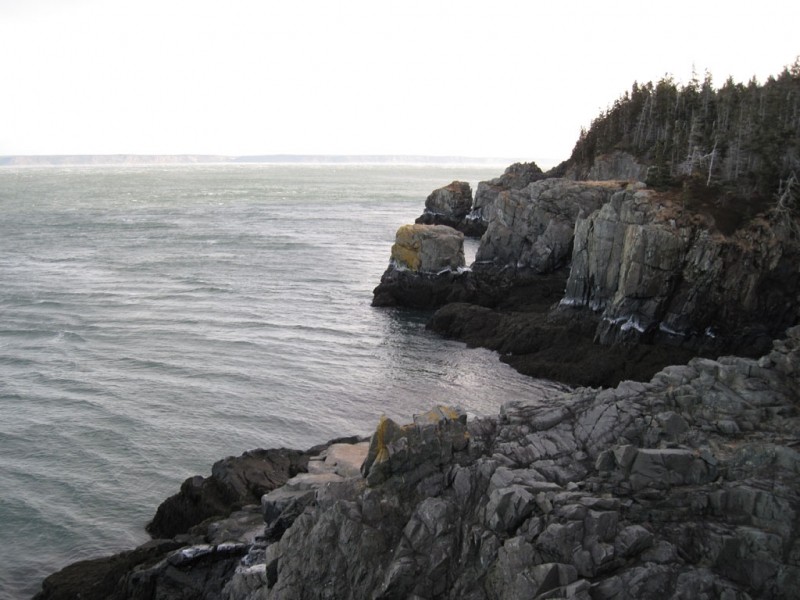
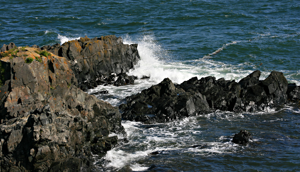
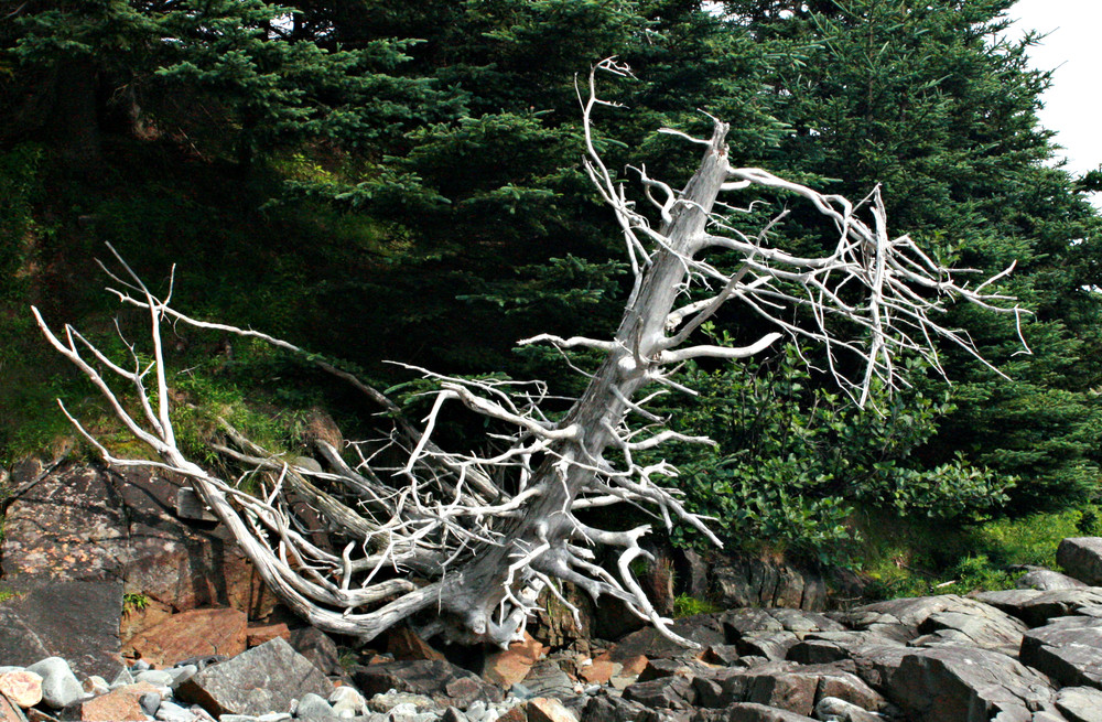
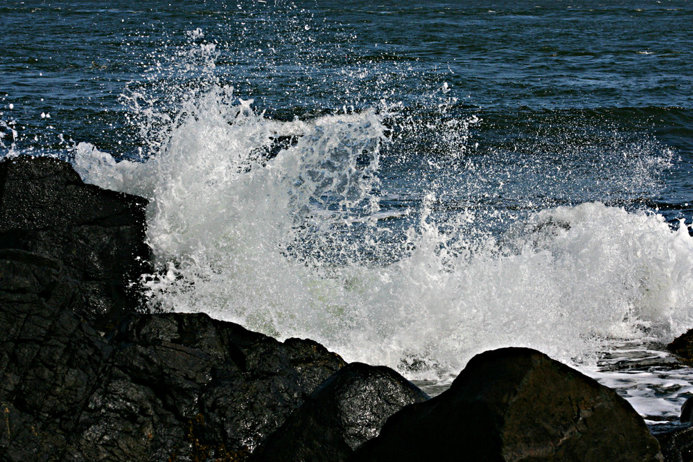
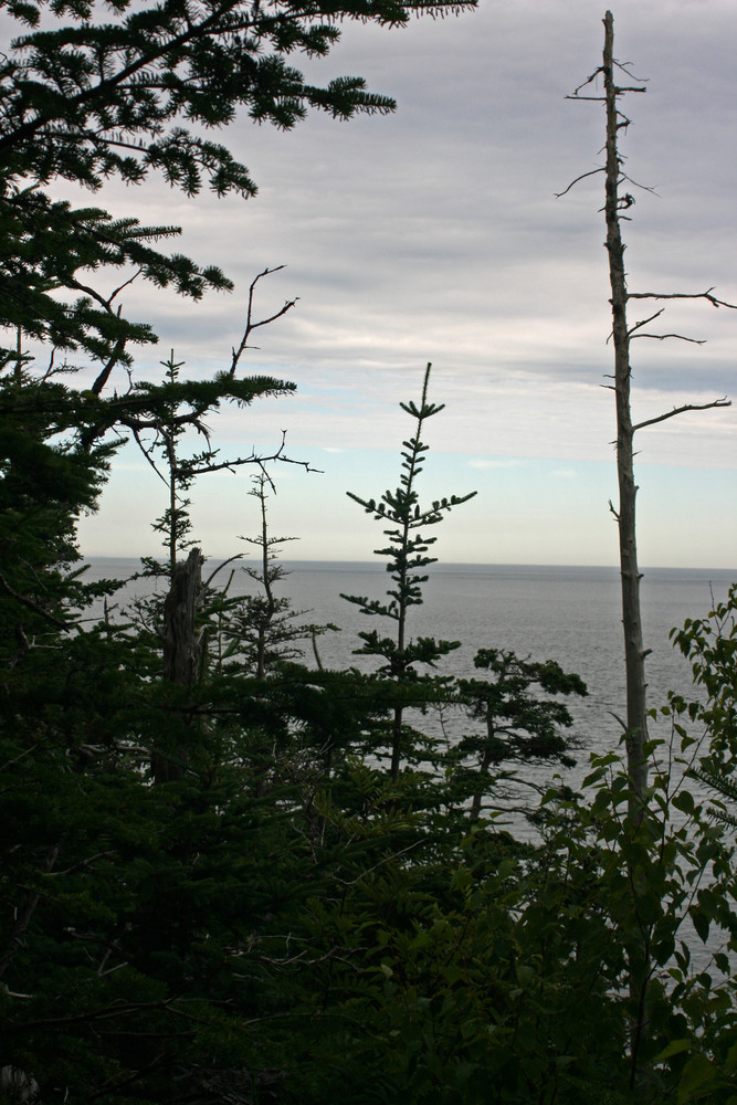
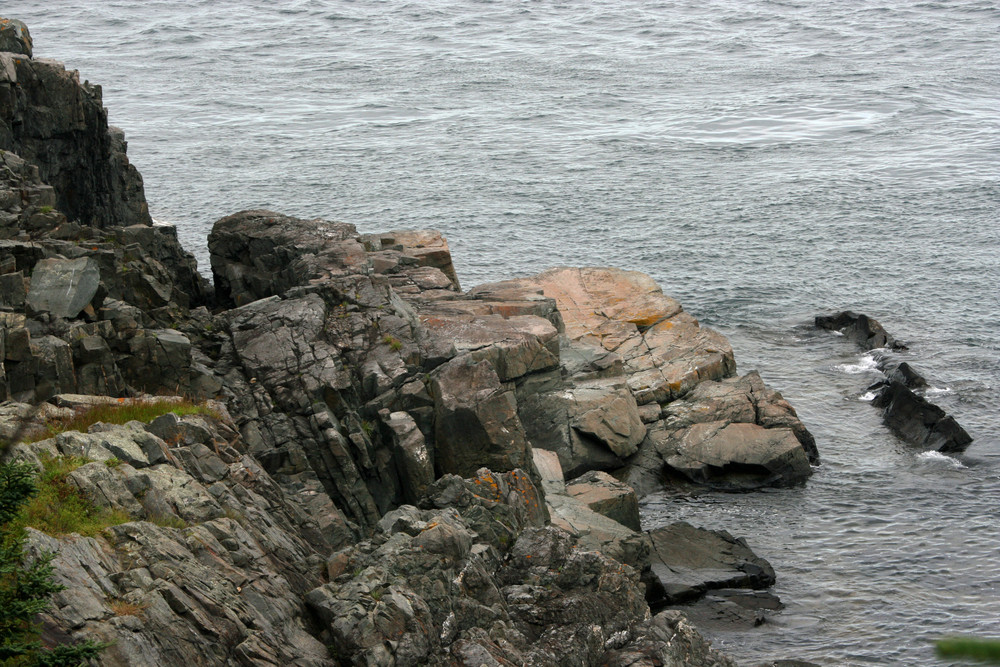
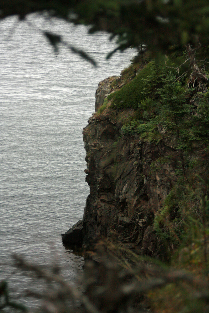
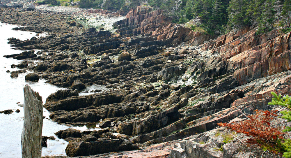
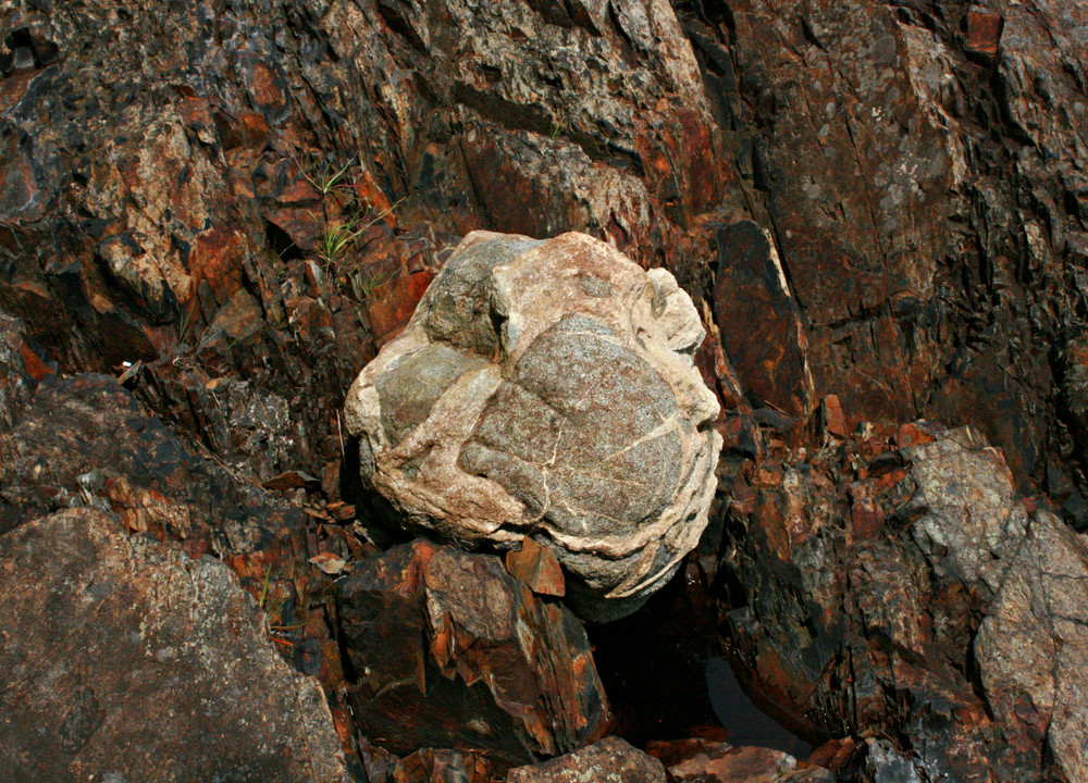
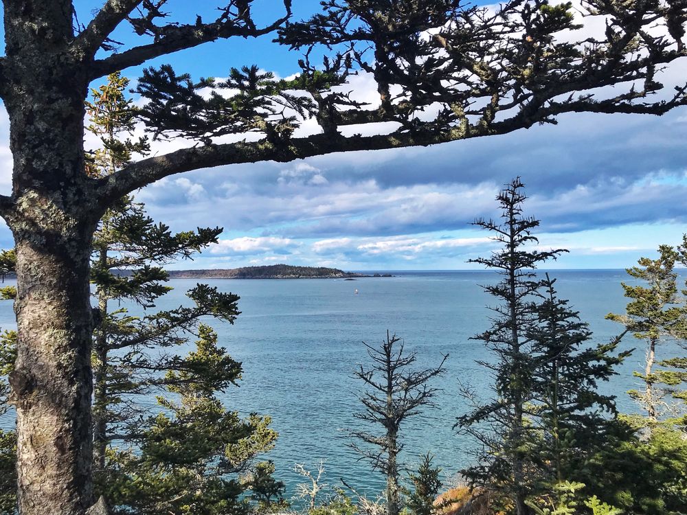
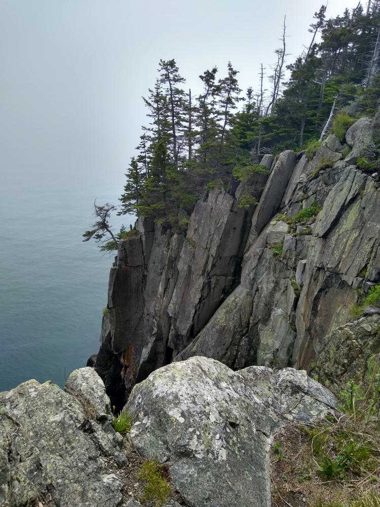
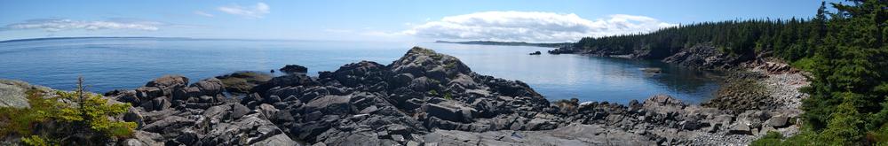
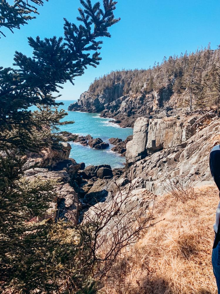
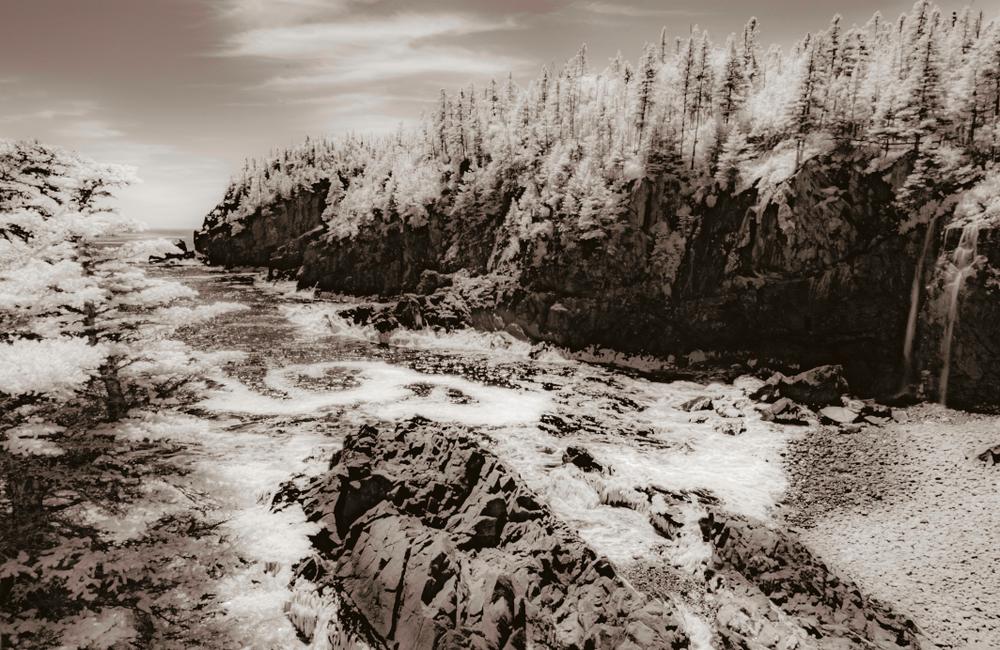
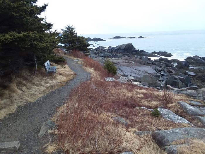
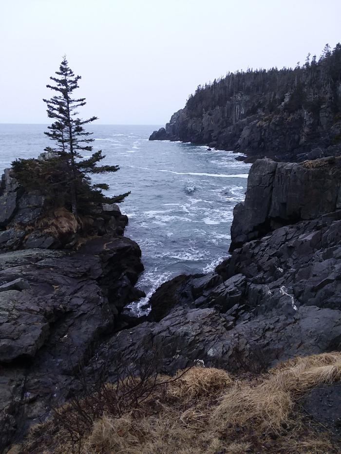
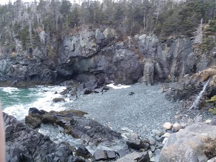
Coastal Trail (1.3 miles, moderate): The Coastal Trail (4-mile round-trip from the trailhead) affords more challenging terrain (and spectacular ocean views), with some steep rocky sections. The trail passes Gulliver’s Hole (a narrow chasm formed from the erosion of a vertical fault in the volcanic gabbro rock); High Ledge (a 150-foot bluff); and Green Point, a ledge outcropping where hikers can witness the surging tides and pounding surf. The trail looks over Quoddy Channel to the towering red cliffs of Grand Manan Island in New Brunswick Canada.
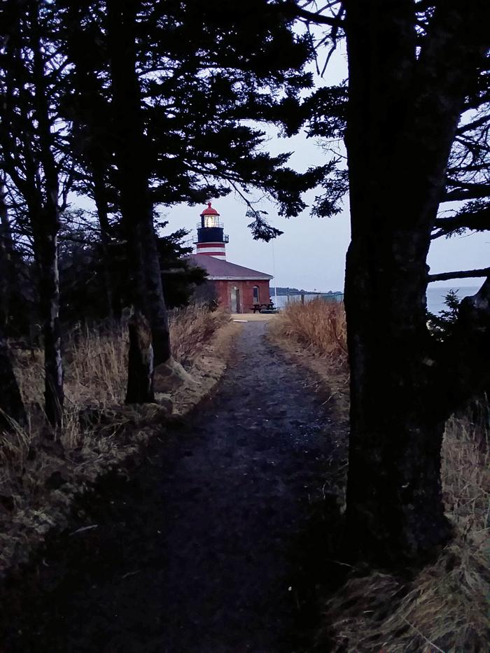
Coast Guard Trail (0.9 miles, easy-moderate, western half is accessible, eastern half is not): The Coast Guard Trail allows relatively easy access to a high cliff overlook typical of the “Bold Coast” with views north across the Lubec Channel to the town of Lubec. This trail was originally used by the lightkeepers when returning from a trip inland to the lighthouse.
Western side: The western side of this trail, which starts directly from the parking lot, is packed gravel and at least 5 feet wide. There are sections with a grade in excess of 12%. It is suitable for motorized wheelchairs. Manual wheelchair users may need some assistance.
Eastern side: The eastern half includes much steeper hills, narrower trail and closer exposure to cliffs. It starts from the road between the primary parking area and the lighthouse.
Read about MTF Accessibility Ambassador Enock Glidden's visit to the park using his wheelchair at MTF Stories.
View BPL's map and guide for Quoddy Head State Park.
The trail system follows many clifftops presenting hazards to those who follow too closely especially in wet or foggy conditions. Be prepared for drastic weather changes and be aware that there is very spotty cell coverage along the trails.
The park affords some of Maine’s best wildlife-watching in all state parks. Visitors in the summer may spot whales offshore, eider, scoter and old squaw ducks, kittiwakes, gannets, black-bellied plovers, ruddy turnstones and purple sandpipers all can been see at times roosting on Sail Rock. During spring and fall migration periods, hundreds of shorebirds congregate near the Park’s western boundary at Lubec Flats and Carrying Place Cove (named for a canoe portage site that Native Americans used). Birding opportunities continue into winter with sea ducks, murres, and razoarbills offshore and frequent bald eagles. The park is also the eastern most point in the United States.
(Park open April 1 - November 1)
Cobscook Trails Project
The trails on Quoddy Head State Park are part of a larger network of hiking trails in known as Cobscook Trails. Cobscook Trails is a cooperative project of conservation landowners and community partners that seeks to expand opportunities for nature-based recreation and tourism in eastern Washington County. The group produces "Cobscook Trails: A Guide to Walking Opportunities around Cobscook Bay and Bold Coast Region," a 55 page booklet describing walks on 19 area properties. Find more information about Cobscook Trails, including how to purchase the guidebook, visit: The Cobscook Trails Project.
 Natural Heritage Hikes is a project of the Maine Natural Areas Program in partnership with Maine Trail Finder. View the "Quoddy Head State Park - Inland Trail, Coastal Trail" guide online here.
Visit Maine Bureau of Parks and Lands online for more information and a printable map or contact:
![]()
From North or South: From intersection of US Route 1 and ME Route 189 in Whiting, follow ME Route 189 for 8.5 miles to South Lubec Road. Turn right and continue on the road for 2 miles to a fork. Bear left and continue 2 more miles to the park entrance. There are two trail heads. The first is on right as soon as you enter the park which accesses the Coast Guard Trail. To reach the second trailhead bear right when entering the park following a short dirt road to a parking area with picnic tables and outhouses.
Success! A new password has been emailed to you.