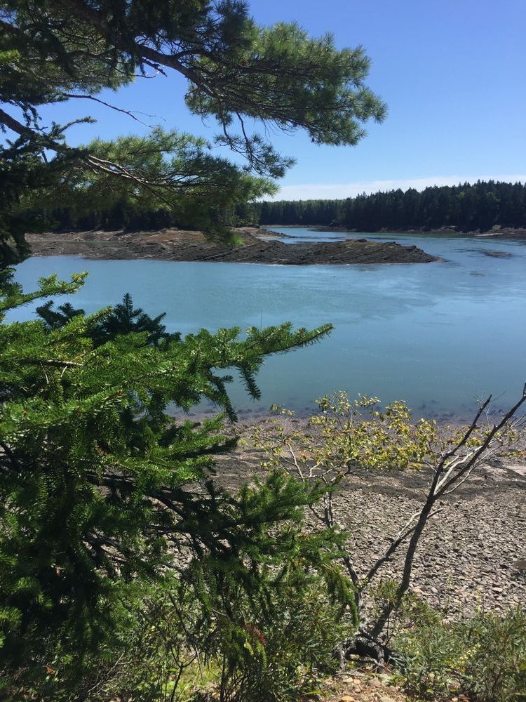
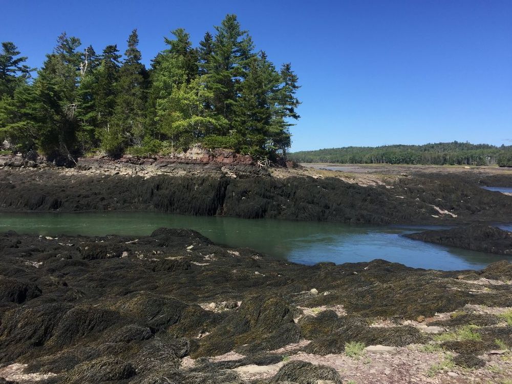
The Sipp Bay Preserve consists of 92 acres which includes the former Knowlton Campground with its excellent views of both East and Sipp’s Bays. Short trails follow along the shoreline at the end of the peninsula. Longer trails can be accessed at the end of the gravel road to the west of the first parking area. Boaters, please remember that the upper innermost bay empties of water at low tide and this large tidal range causes very strong currents. Hunting is allowed in the preserve. The Land for Maine’s Future (LMF) program and the Open Space Conservancy’s “Saving New England Wildlife Fund” provided partial funding for the acquisition.
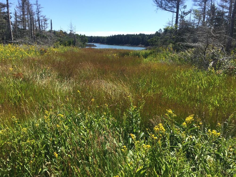
From the kiosk, walk west down the gravel road to the inner Bay shoreline trail and follow the loop to the old woods road and back to the kiosk. From the kiosk, if you continue along the road south to the open field and gravel beaches you will find a spectacular shoreline walk along the tip of the peninsula. Trails are blazed blue. Bring a picnic. Watch for the eagles that nest here as well as tidal wading birds and waterfowl.
History
Sipp’s Bay is named for Scipeo Dalton, an African American who lived with his wife in a cabin above the Narrows in 1790. Before the non-native settlement of the area, the Passamaquoddy called this place Kci-puna-muhkatik, “big frostfish (tomcod) spawning place”. The entire region is important to the Passamaquoddy Tribe, as their ancestors would have camped and hunted on what is now the preserve while accessing the bountiful fishing grounds in Sipp and East bays by canoe. More recently, the entire property was once part of Knowlton’s Dairy farm and was used for pasture.
Ecology
Although the 76 acre woodland has been recently harvested, the grassy fields and woodlands provide habitat for many species of birds and animals. Much of the low ground is wet cedar forest which provides winter habitat for white-tailed deer and cover for many species of birds. On the higher elevations, red oak and white pine provide food and shelter for other species. Most noteworthy of these is the pair of bald eagles which has nested here for many years. Large portions of both the eastern and western shores include commercially valuable and easily accessed shellfish habitat as well as important tidal wading bird and waterfowl habitat. The preserve has long been used by local fishermen for harvesting clams and periwinkles.
Preserve Guidelines

This trail passes through a property that was acquired in part with funds from the Land for Maine’s Future program. For more information about the LMF program and the places it has helped to protect, please visit the LMF webpage.
Visit Maine Coast Heritage Trust online for more information or contact:

Access to the preserve is from Route 1 via Burby Road in Perry. Travel 0.6 miles to a kiosk and parking area. From the west, follow Route 1 north from the intersection of Route 1 and Route 214 for 3.8 miles and turn right on Burby Road. From the east and the intersection of Route 1 and Route 190, follow Route 1 south for 2.8 miles and turn left on Burby Road.
Success! A new password has been emailed to you.