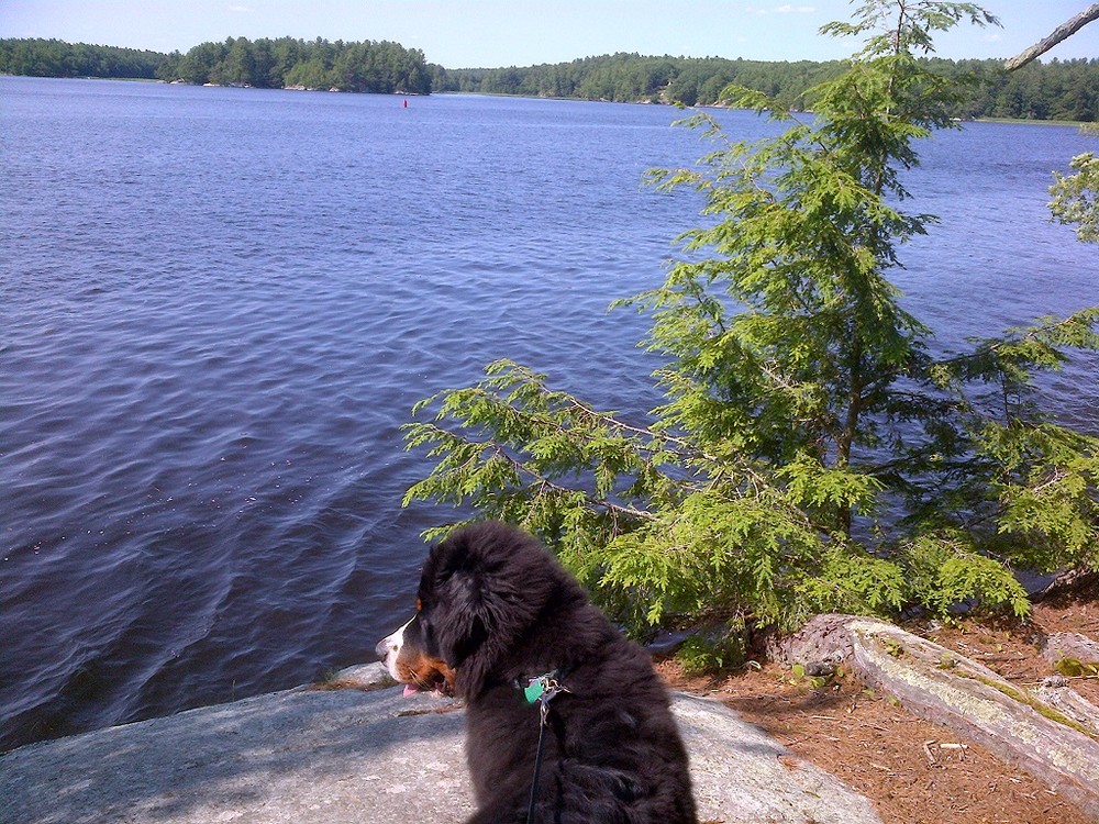
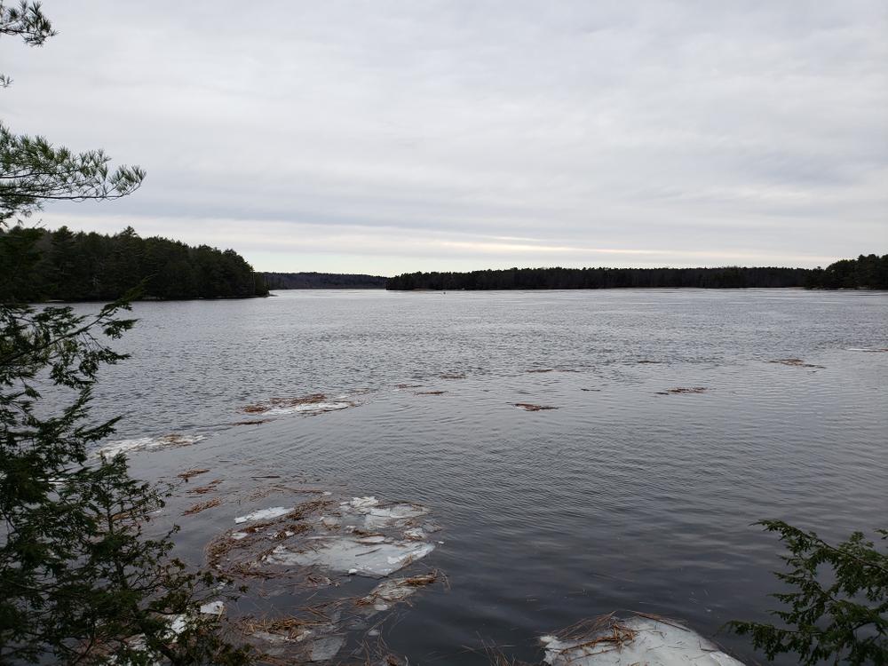
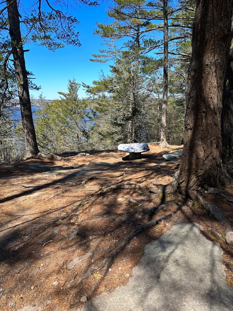
Thorne Head Preserve is conveniently located at the confluence of the Kennebec Estuary and Whiskeag Creek, at the northern end of the City of Bath. From the parking lot, a series of trails are available to the visitor, varying in difficulty from the easily accessible fifteen-minute Overlook Trail to the 5.1 mile Whiskeag Trail that connects Thorne Head Preserve to the Bath Area Family YMCA. With water bodies to the east, west, and north, visitors have great views of the estuary and the wildlife that rely on the preserve and the waterways.
Other interesting attractions at Thorne Head include the Mushroom Cap Trail and Murderer's Cave. A trip to Thorne Head can mean a thirty-minute walking trip down Overlook Trail and back, or a day full of exploration of the various secrets that the property harbors.
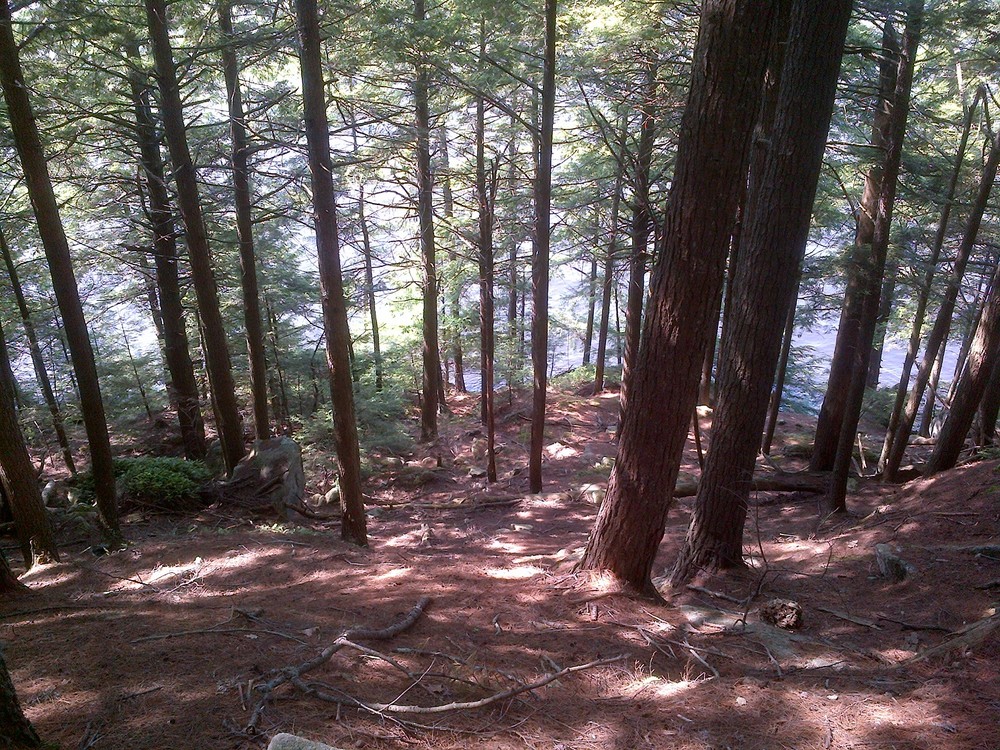
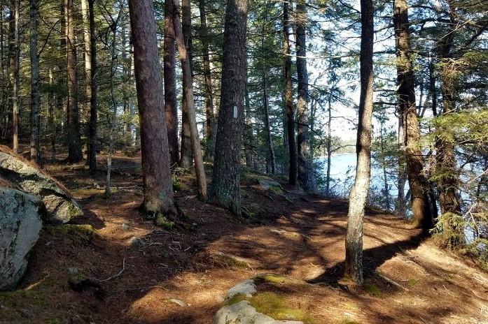
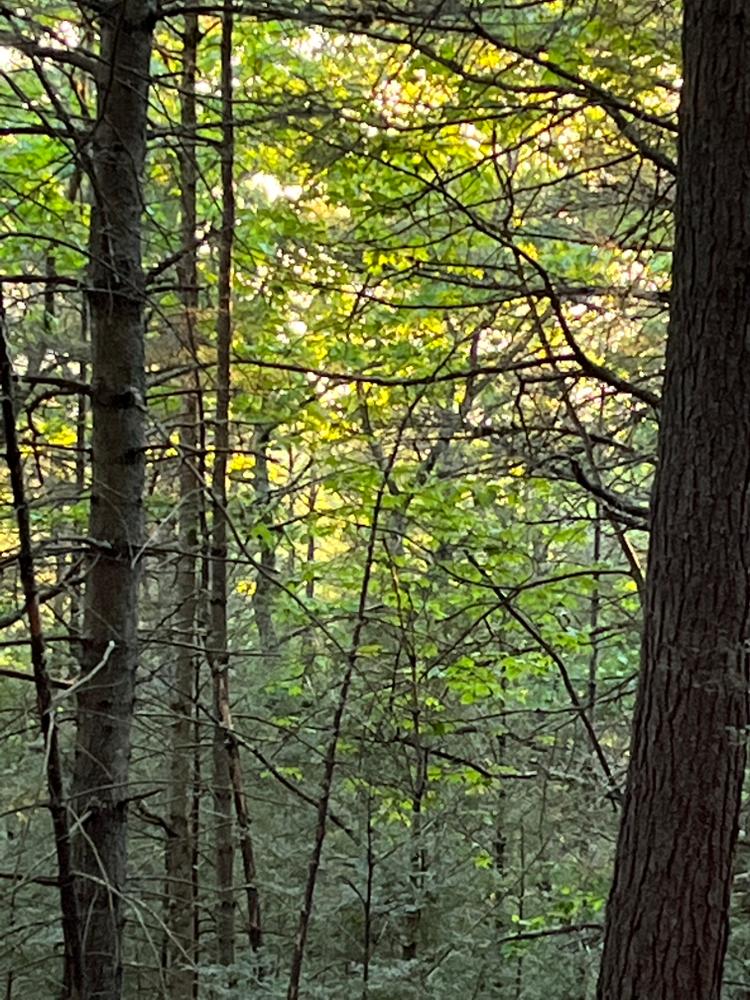
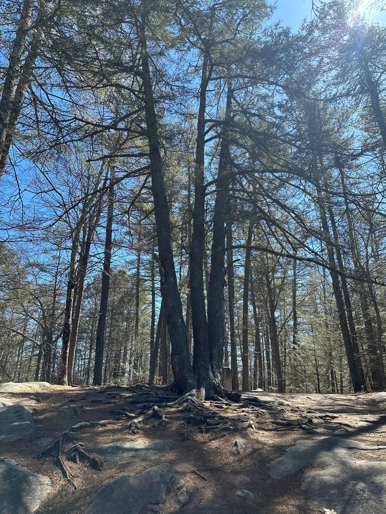
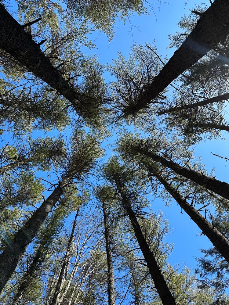
Thorne Head Preserve protects over a half mile of shoreline along the Kennebec River and Whiskeag Creek. The Preserve's woodlands range from mature, mixed softwood forest along the shoreline to younger softwood and mixed hardwood forest toward the interior. Large Hemlock (Tsuga canadensis) and tall white pines (Pinus strobus) dot the closed canopy forest along the shoreline, and a stand of red pine (Pinus resinosa) is located at the extreme northern tip of the preserve. The Preserve supports over 100 plant species and most of the common wildlife species found in mid-coast Maine.
Thorne Head has been the center of watershed activity since the Abenaki Indians traded by the river's highway and gathered wild rice along its shores. In 1604 the land was deeded to European settlers. The area was then logged into the 20th century for great white pine logs. The preserve became a pasture, marked by the old stone walls seen around the property. In the 19th century sailor hid out on Thorne Head, using Murderer's Cave as his hideout. The cave's name recalls the unfortunate killing of a Bath constable during a downtown robbery attempt of the sailor. In 1993 the property was first recognized for its high value habitat, and in 2000 KELT purchased and opened Thorne Head Preserve to protect the property from development in perpetuity.
Thorne Head Preserve is open to the public free of charge from dawn to dusk. Please help us protect it by staying on the trail, respecting adjoining private property, and understanding that natural areas are delicate: no camping, fires, or motorized vehicles are allowed. Dog are welcome if leashed or well-mannered.

This trail passes through a property that was acquired in part with funds from the Land for Maine’s Future program. For more information about the LMF program and the places it has helped to protect, please visit the LMF webpage.
Visit Kennebec Estuary Land Trust online for more information or contact:
Kennebec Estuary Land TrustFrom the intersection of High Street and Centre Street in Bath, go north on High Street 2.1 miles until the road ends and there is the parking lot and trailhead for the Thorne Head Preserve.
Success! A new password has been emailed to you.