Rumford Whitecap Mountain Preserve

Two scenic trails on the Mahoosuc Land Trust's Rumford Whitecap Preserve lead to the summit of this popular mountain complete with panoramic views and abundant blueberry thickets.
Trail Activity
Snowshoeing Hiking
Length
5.80 miles, Network
Difficulty
Moderate
Town
Rumford
Surface
Dirt/Forest Floor, Rock/Ledge
Pets
Permitted
Fees
No

Description

HIGH USE TRAIL:

This is a busy trail system, especially on weekends between 9AM-4PM. Consider visiting outside of peak periods. Use Maine Trail Finder to identify other nearby trails. If the parking lot is full when you arrive, please choose another trail. 

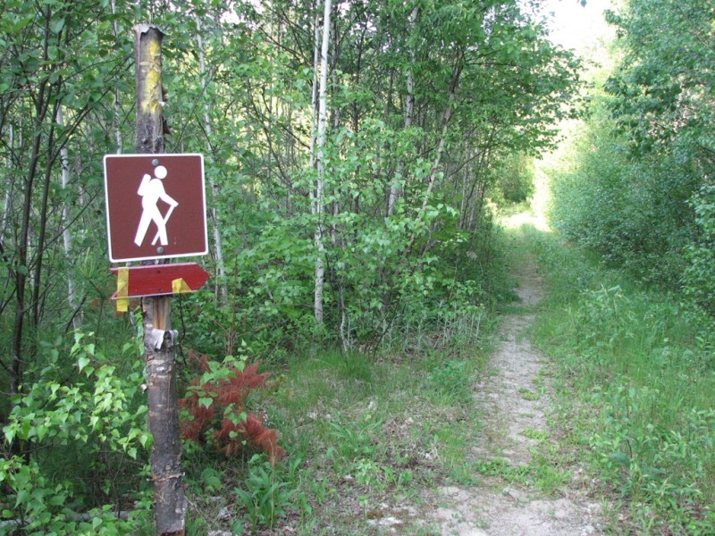
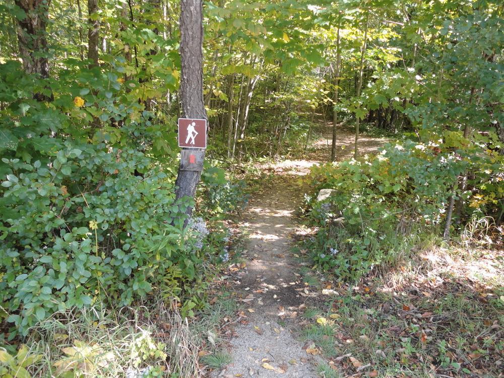
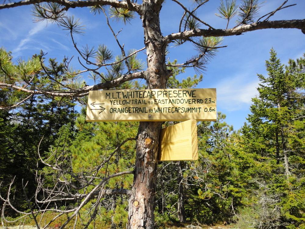
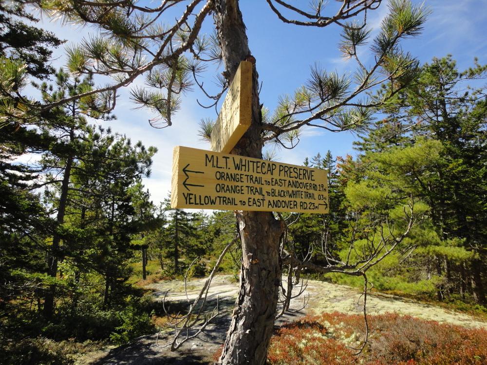
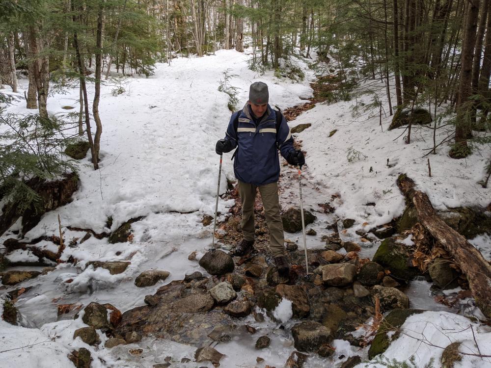
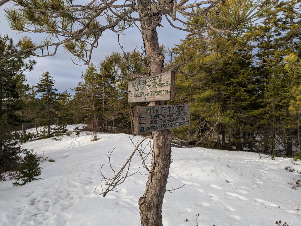
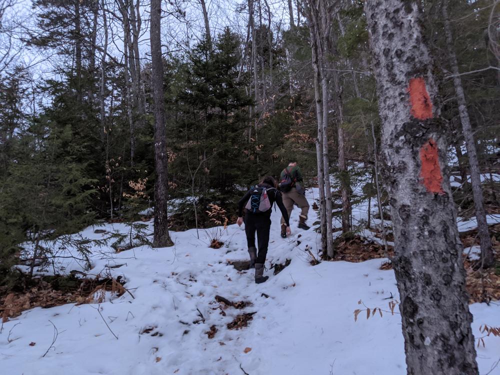
Within the Rumford Whitecap Mountain Preserve, two trails lead to the summit from the parking lot providing either two distinct experiences or the opportunity for a loop. The Red/Orange Trail starts at the red gate directly across from the parking area, and is marked with red/orange flags. The Starr Trail, marked by yellow blazes and ribbons, starts at the gray gate, about 100 yards north of the parking area on the East Andover Road. 

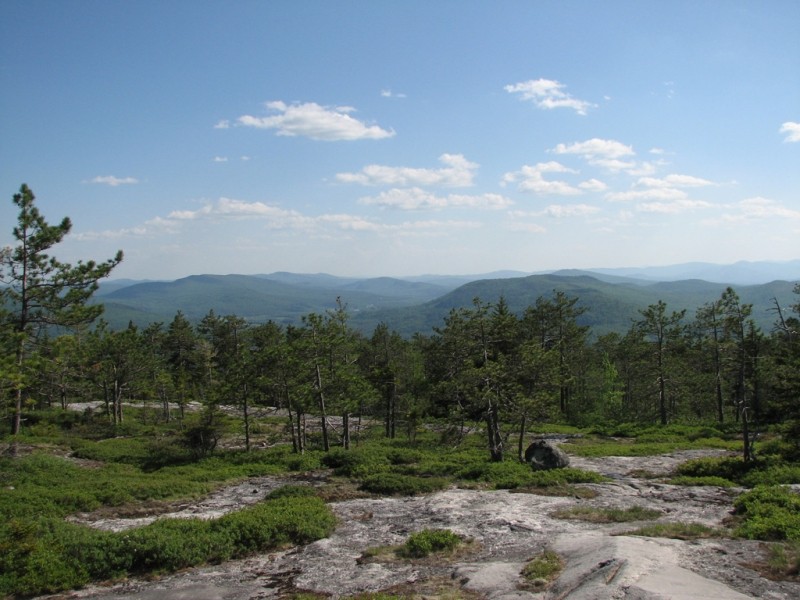
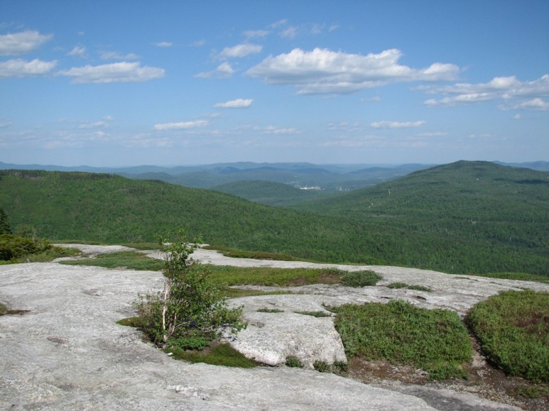
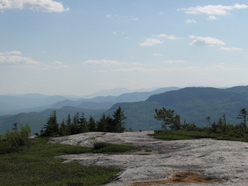
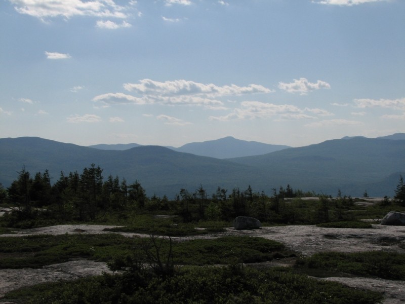
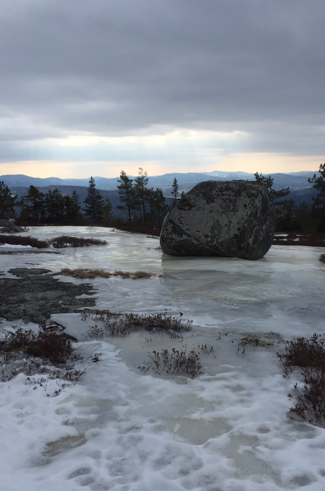
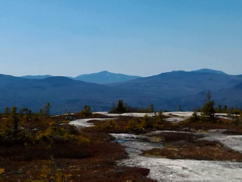
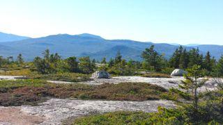
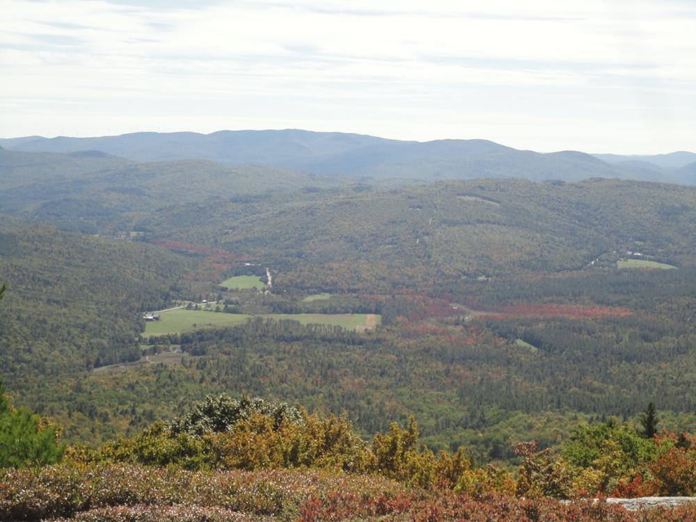
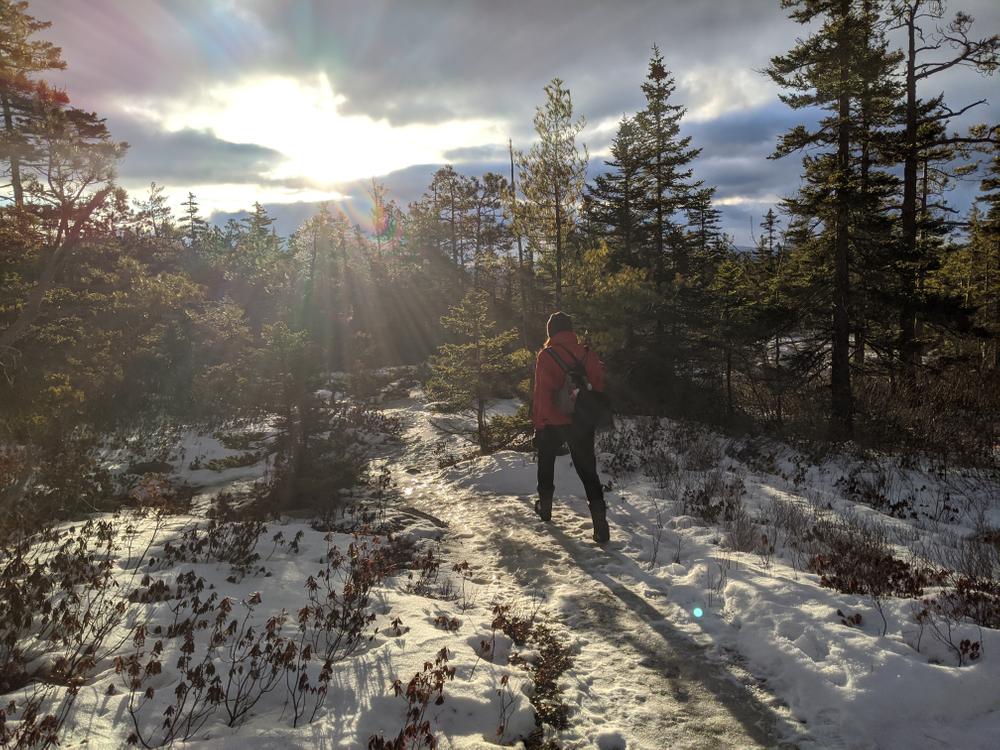
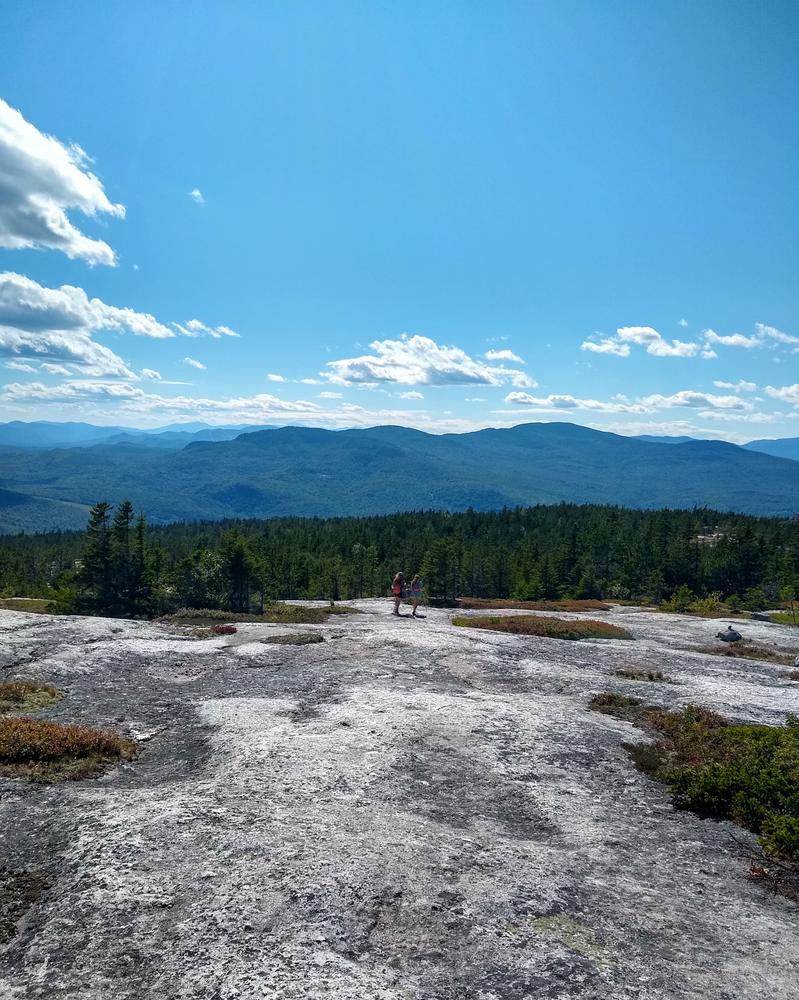
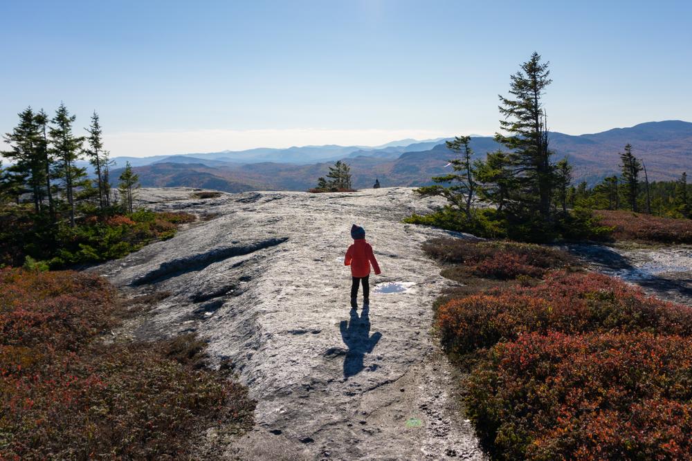
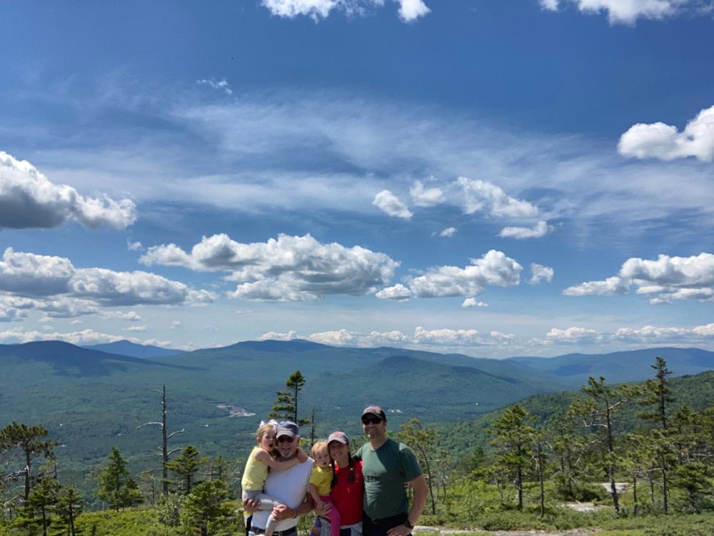
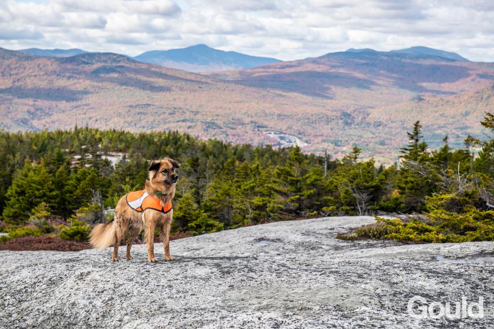
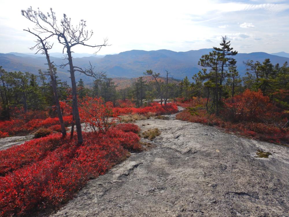
The two trails merge just before reaching the summit. The remaining distance along the ridge to the summit is marked by cairns, orange ribbon flags, and paint blazes. Many points along the hike provide breathtaking views of the surrounding area: the Mahoosuc and White Mountains to the west, Mexico Hills to the east, and Androscoggin River Valley to the south.

Please note: You may see red blazes continuing from the summit that mark the boundary. Please do not continue past the summit -- these blazes mark private property, not a trail. There is no connection to the Black and White Trail from the summit; the only connection is the one shown on the trail map via the Red Trail (at 44.564156, -70.666314).

During the late summer, Rumford Whitecap is widely known for its blueberries that grow on the upper ledges. Although the trails are not maintained for winter use, the summit area is also a well-known and popular backcountry ski destination.

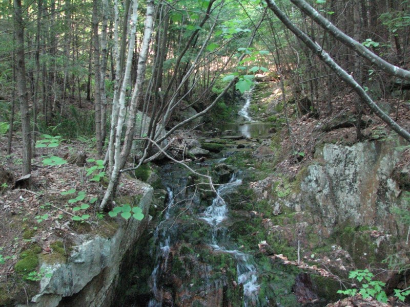
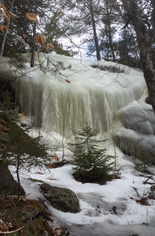
For those who do not have time or the ability to hike to the Summit of Whitecap, going up the Iles Trail (orange) to the Connector Trail and crossing over to descend the Starr Trail (yellow) provides a one mile loop with views of a nice waterfall. Hiking up the Iles Trail (orange) to the Boundary Trail and crossing over to the Starr (yellow) trail again provides a view of some scenic cataracts, when the water is flowing, and completes a two mile loop. Along this trail you may notice some red and some yellow blazes which mark the property boundaries, not the trail. The boundary trail will be marked with blue.

Other Information

Part of the summit of Rumford Whitecap is privately owned; please respect the private property rights of our neighbors and other users.

Do not camp or start fires in the preserve and carry out all trash. Please stay on the trails and the durable rock surface of the summit area to avoid stepping on fragile vegetation.

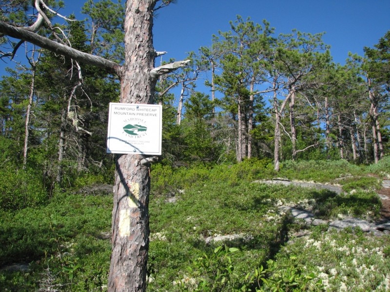
Rumford Whitecap Mountain Preserve is a 751-acre undeveloped tract on Rumford Whitecap Mountain (elevation 2,214 feet). The Preserve, including much of the bald summit and some of the south and east facing slopes, was purchased by the Mahoosuc Land Trust in 2007. It was acquired through the generosity of over 500 donors, grants from the Land for Maine's Future Board, and five charitable foundations.

The Preserve is home to several natural plant communities, including part of the largest red pine woodland in the state. It has long been a popular picnicking and berrying destination for local residents.

The Mahoosuc Land Trust encourages public interest in land conservation and works to strengthen the connection between people and the land. We support a balance of growth and conservation and emphasize sustainable forestry, recreation, agriculture and traditional land uses.

LMF Logo

This trail passes through a property that was acquired in part with funds from the Land for Maine’s Future program. For more information about the LMF program and the places it has helped to protect, please visit the LMF webpage.

Trail Manager

Visit the Mahoosuc Land Trust online for more information or contact:

Mahoosuc Land Trust

Mahoosuc Land Trust
PO Box 981
162 North Road
Bethel, ME 04217
Phone: (207) 824-3806
info@mahoosuc.org
View website

Nearby Events

VIEW EVENTS CALENDAR

Trail Tips

Travel and Camp on Durable Surfaces
Walk single file in the middle of the trail. Wear the right shoes and enjoy the mud – you're in the great outdoors!
Legend
Hide All

Trailhead Information

From US-2 in Rumford Point, take ME-5/Ellis River Road north for 3.1 miles. Turn right onto Andover Road and cross the bridge over the Ellis River. After 0.4 miles, turn left onto East Andover Road, and go another 0.2 miles to the parking lot on the left. The trailhead is directly across the road from the parking lot at a gated gravel road.

Click on a parking icon to get custom directions
Please Log In or Create Account to add comments.
don.macmillan2015@gmail.com
January 20, 2024
Went snow shoeing up White Cap Mountain, the trail was well marked and packed down by previous hikers. Very windy at the top. The wind had blown off most of the fluffy snow and it was icy.
mehiker
September 19, 2023
The first third of the trail follows and old woods road, the next third is rooty at first then goes through switchbacks in mixed forest, the final third is walking over glacially rounded granite that is a real joy. Kudos to the Mahoosuc Land Trust for the maintenance performed to the orange trail this year. We ran into the crew rebuilding portions and they did a fantastic job. It was about 10 people and were hired to repair eroded sections. Yes, this is a popular trail, but the steady moderate grade, trail conditions, and views from the top make it worth the crowded parking lot.
yelovelo
October 15, 2022
Hiked up the orange/red trail this week which was well marked and provided glorious autumn views! Coming down the yellow trail was a very different experience. There are some extremely steep and challenging sections and about halfway down the markings disappear. I was greatly relieved when I came to a sign for the connector back to the orange trail.
tryingnottogetlost
May 19, 2022
I hiked up the orange trail which was marked very well and easy to find from the parking lot on 52 e anderson. Bugs were surprisingly well behaved and it took me about an hour and 15 to summit, chilled up there for a while bringing my total time to about two hours and 45 minutes. View was well worth it
andrew.bertino
October 13, 2020
My wife and I loaded up our kids (toddler & infant) and started up the orange trail. The broad open ledges and summit were perfect for letting our 3-year-old safely run around while we took in the views. We took the yellow trail down to make a loop of our hike, but found the steep descent and difficult terrain too challenging to recommend to those carrying kids. We made it down without incident, grateful that our children did so well on a longer hike.
lkohut
October 13, 2020
We went over the holiday weekend and it was lovely. Tried to take the yellow trail up, but there was some confusing signage (I think it was for ATVs?) and we quickly ended up on the Orange trail. Took that up. It was a bit busier than I would like with COVID (we spent a lot of time stepping off the trail to let folks pass), but very nice and steady climb. The views from the top are excellent. Took the yellow trail down which was great because you follow the ridge for awhile with expansive views. Yellow trail is a bit more challenging and a little less clear to follow (path is narrower than the orange), but we didn’t have any trouble following it down. Recommend making a loop with the two trails because the views, terrain, and flora is different with each. If you are following the yellow trail up, stay on the old logging road until you see a wooden signpost pointing the way. There aren’t many blazes on that stretch.
nikols1
October 03, 2020
Recommended! Trail is perfect for families, and to all. There is incline but not steep, very manageable. Beautiful scenery all over the summit!
kathikesalot
September 25, 2020
Took the yellow trail up and enjoyed gorgeous scenic overlooks on the way. Connected to orange trail to complete to summit. Beautiful 360 degree views of the fall foliage from the summit! Hiked orange trail back down. Brought our dog and it was a wonderful hike!
lanej
May 23, 2020
Took the orange trail up and down. Got started around 8:30 and the small parking lot was already full. This was an all around beautiful hike. Short with a few steep parts, but all worth it. The trail is perfectly marked and very well taken care of. Thank you trail maintenance. The views are incredible. Got an amazing blue bird day with about 60 degrees and a great breeze. A little buggy at times, but wasn’t so bad when moving. Bring the bug spray. Some muddy parts, but nothing that couldn’t be rock hopped across. Full trip took about two hours moving time. We spent some time at the top so didn’t get back to the car until about 11:30 and the parking lot was over flowing onto the sides of the road. Passed a lot of people heading up on our way down.
tgrimmett
December 28, 2019
Great hike for mild winter conditions. Hiking poles and some kind of traction on your footwear is highly recommended, especially as you get near the top. Great views!
splewis
May 27, 2019
This may have the most bang for the buck as any hike in the region. The summit ridge and the summit itself are simply stunning, with huge views in all directions. Don't miss this! (Having said that, I would agree with other poster that the Yellow Trail is harder to follow, a bit steep in places, and a bit overgrown (2018). When I do it again, I'll just go up and down the Orange Trail.
bigeloafah
September 09, 2018
Did the orange trail up and back 9/9/18. What a fun hike, even after blueberry season. The exertion-to-payoff ratio is perfect: steady but not steep up, then flattening over ledges through the final one-third or so to a broad, open summit. Some recent re-routing of switchbacks, all perfectly marked with cairns, signs, tape flags, blazes. Lots and lots of blueberry bushes. 5.2 miles acc. to GPS watch. Took us about 1hr 15 min up with a meandering pup, a bit faster on descent.
dtruslow
February 24, 2018
Hiked up the yellow trail and down the red trail. Lots of snow and ice but glad we took yellow trail up. Great view and a pleasure coming back red trail in snow not ice. Looking forward to returning for berries in summer.
doyletl05
August 27, 2017
Hiked on 8/13/17. Hiked Orange Trail up and Yellow trail down. The hike up Orange was moderately difficult and very well marked. The views at the top were spectacular. I visited on a sunny perfect day and at was wonderful experience. I hiked the Yellow down I would definitely NOT recommend it. Very poorly marked and extremely steep in parts. Although the walk on the ridge on Yellow was pretty, the lack of trail markings discounted this way. Found bunches of blueberries at the top which was great. Overall a great hike and highly recommended,
moosechili
June 10, 2017
This is a beautiful spot...the long, bald ridge line is spectacular, and the 360 views are uplifting. Hiked orange trail up, yellow down. Orange is well marked and should only carry a "moderate" rating - yellow is less well marked as others have mentioned, has a handful of short, "advanced" sections and is a bit longer and (IMO) less scenic though it does spend more time on the ridge line. Netted out, this is a fine hike with an excellent reward for the effort - especially if you stick to the orange trail.
mainetrailfinder
January 06, 2017
From our friends at Mahoosuc Land Trust: There is no trail from the Rumford Whitecap Summit east to the Black and White Trail. Although it looks possible on the map, hikers cannot safely walk from the summit east to the Black and White Trail. There is no trail, the terrain on the Land Trust property is very steep and unsafe. The surrounding land is private and should not be crossed.
taraleblanc
January 06, 2017
My sister and I hiked this in late September 2016. I don't know if there's been an unmarked trail extension, but the trail appears to continue beyond the summit. There are concurrent red and yellow blazes which continue beyond the summit and lead to a cut out trail going down the opposite side of the mountain and then joining (if I remember correctly) the Black and White trail. This resulted in our getting rather turned around especially as this continuation appears to cross a property line blazed in exactly the same yellow as the trail markers use. We had planned to hike up red and down yellow.

Could someone please verify whether the trail has been extended or altered. Or at least update the trail-head with a warning. It is far too easy to get mixed up as we did (and we're old hands at hiking)!
mainetrailfinder
December 28, 2016
ergrady70 - Sounds like it'll be a great hike! I would stick to the Red Trail (easternmost) up and down, so that you don't get confused descending. I myself had a bit of trouble descending on the yellow trail this spring, though I know they were doing trail work that weekend. But just in case - stick to the red. If there's snow, you'll at least be able to see where you came from!

-Nicole (MTF Team)
ergrady70
December 28, 2016
Thinking about going Friday and expect a good amount of fresh snow to be on the ground. Are trails marked well enough for someone who's going for the first time? Thanks in advance.
mehiker
September 01, 2016
Here are elevations and hiking times taking the main (red) trail to Rumford Whitecap:
Departed parking area at 1:12, elevation 650'
follows old woods road at moderate pace to the Timber Stand Improvement Demonstration Site at 1:33, elevation 1210'
changes to gentle switchbacks through hardwood forest to beginning of trail over smooth granite at 1:54, elevation 1730'
reaches the junction of the Black Mountain trail turnoff to the right at 1:57, elevation 1770'
continues over smooth granite to cairn where the yellow trail joins from the left at 2:04, elevation 1870'
the surrounding forest gives way to open granite interspersed with low conifers and blueberry bushes 2:07, elevation 1930'
follows open smooth granite to the summit at 2:20, elevation 2250'.
Total climbing time 1:08
Total elevation gain 1600'
mehiker
September 01, 2016
The yellow marked trail is well marked going up departing from the trailhead parking area. There is no need to hesitate taking it. The person that took it down missed the turn at the saddle between the two hills. He must have gone straight where the trail takes a sharp left going down.
soxpatfan
July 18, 2016
If anyone has been up the trail to White Cap summit, by July 15/16, please post whether you saw blueberries and in what abundance. Thank you!
vhonkala
October 17, 2015
I hiked the orange trail up on October 7 (2015) with plans to take the yellow trail down. The yellow trail markers have deteriorated to the point of being virtually non-existent though I was able after much effort to find it. Then midway down, the trail dumps you out into the middle of a logging operation. Nothing to do but walk down the logging road at that point which puts you at on Coburn Brook Rd. Yellow Trail a no go. !
These awesome businesses support our goal of connecting people to outdoor adventures in Maine!
Hang Tight!
Nearby services are loading
No Results
No Services Found

Trail Alerts

Trails
Respect Private Property
Part of the summit of Rumford Whitecap is privately owned. Please respect the private property rights of our neighbors and other users.
SHARE THIS TRAIL

Add Trail Log

Please wait…
Join In on the Fun!
Log in or create an account below to unlock all the great features of Maine trail finder: keep track of trails you want to do, preserve memories of trails you’ve done, earn badges, and more!
Your log in attempt was not successful. Please try again.
    Lost your password? Reset your password
    Don't yet have an account?
    There was an issue with your submission. Please try again.
      * Indicates required field
      Already have an account? Login here
      Enter your username, and we will send you a new, randomly generated password to your email account.
      There was an issue with your submission. Please try again.

        Success! A new password has been emailed to you.

        Log in now

        Please wait…