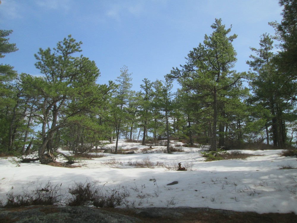
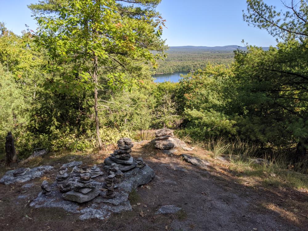
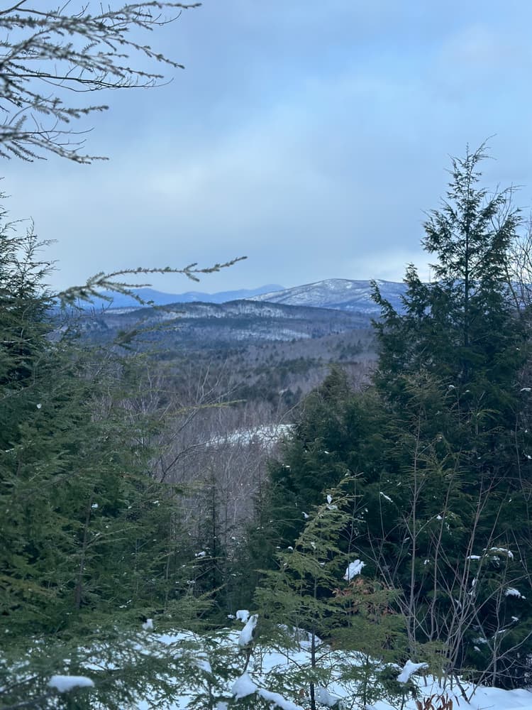
The trails at Bald Pate Mountain offer scenic views, a forest returning from past timber harvests and ice-storm damage, a unique pitch pine habitat with fragile soils at the summit, and a haven for wildlife. The trails are described below.
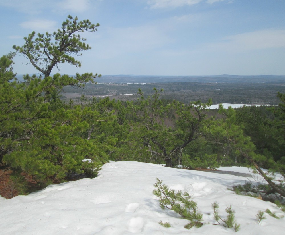
Bob Chase Trail / Scenic Loop (0.8 miles, easy-moderate): This trail is marked with blue trail markers and is a shared cross-country ski trail in the winter. There is a 300 foot elevation gain leading up to several nice lookouts of the surrounding area.
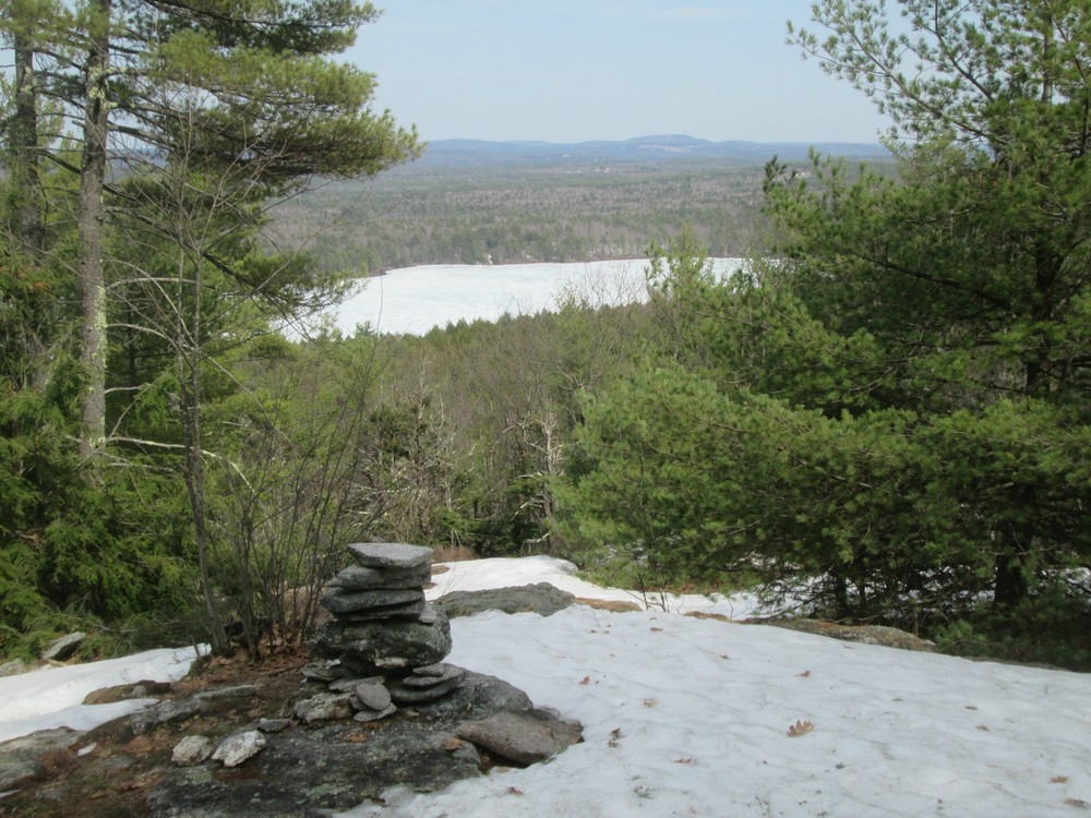
Foster Pond Lookout Trail (0.7 miles, easy): This trail is marked with red trail markers and is a shared XC ski trail in winter. As the name suggest the trail leads to the Forest Pond Lookout.
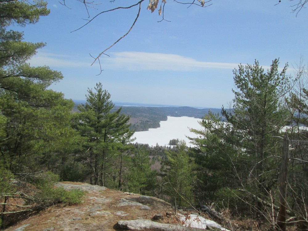
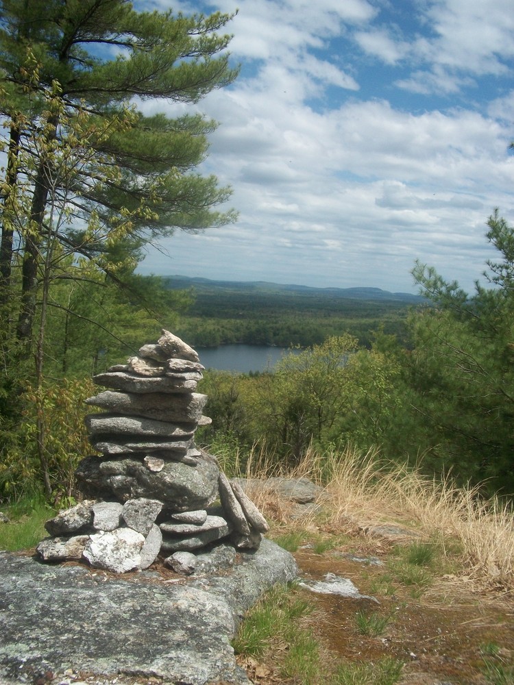
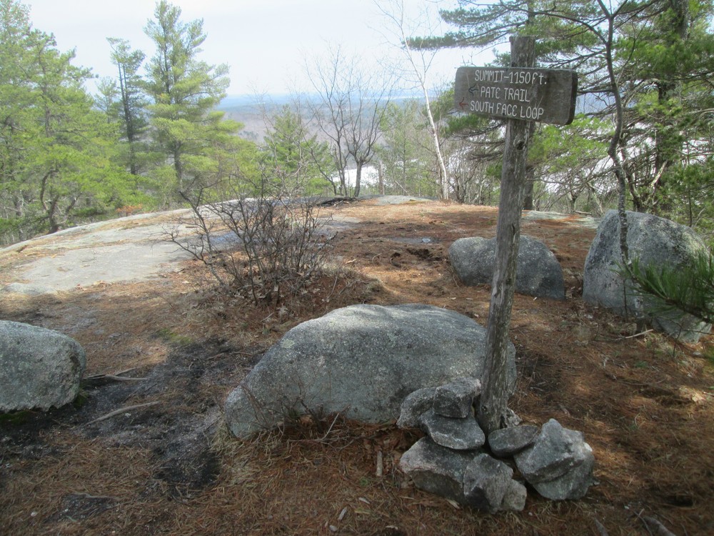
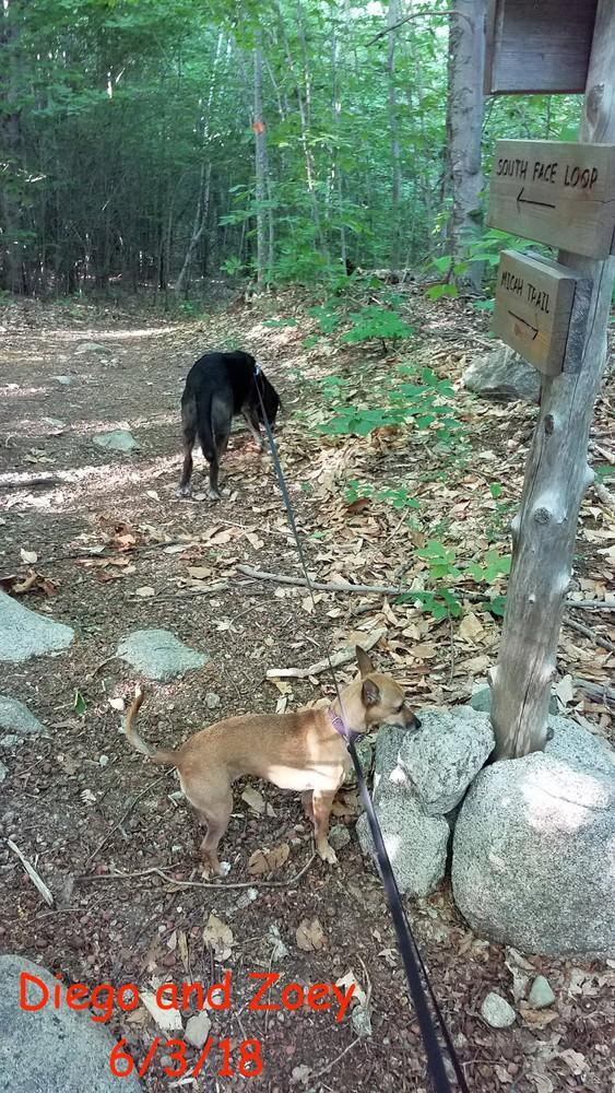
South Face Loop Trail (1.5 miles, moderate): Marked with orange, this loop has 370 foot elevation gain and leads to several viewpoints including the summit of Bald Pate Mountain.
Moose Trail (1.0 mile, easy): Marked with yellow, this trail circumvents the northern base of Bald Pate Mountain and connects the northern trailhead with the southern slopes of the mountain. A small portion near the trailhead is also a shared XC ski and ATV trail.
Pate Trail (0.1 miles, moderate): Marked with green, this trail offers a more direct and steeper path from the Micah Trail up to the peak of Bald than South Face Loop Trail. There is a 360 foot elevation gain.
Micah Trail (0.6 miles, easy): Marked with white, this trail offers access to the southern face of Bald Pate from the trailhead and parking on Moose Cove Lodge Road.
Town Farm Book Trail (2.0 miles, moderate): The trail is marked by purple trail markers and connects Bald Pate Mountain with the Holt Pond Preserve managed by the Lakes Environmental Association. This trail can additionally be acessed via Town Farm Road from the east.
The groomed cross-country ski trails that overlap portions of the property are maintained by Five Fields Farm and require a fee to use the trails.
This preserve consists of 486 acres of forest, meadows, and granite-topped scenic vistas. The network of trails offers an array of opportunities and views. All hiking trails are marked and signed and are maintained by a dedicated group of local stewardship volunteers.
Use Guidelines:
Bald Pate Mountain is a popular hunting area and blaze orange should be worn October-December.

This trail passes through a property that was acquired in part with funds from the Land for Maine’s Future program. For more information about the LMF program and the places it has helped to protect, please visit the LMF webpage.
For more information visit Loon Echo Land Trust online or contact:
Loon Echo Land TrustFrom US Route 302 in Bridgton, follow ME Route 117 south. In 1 mile, turn left onto ME Route 107 heading south and drive approximately 4.0 miles. The Bald Pate Mountain main parking area is located at the crest of the hill, on the left side of the road, just past Five Fields Farm apple orchard and cross country ski area.
To access the Micah Trail, continue south on ME Route 107 for 0.9 miles and turn left on to Moose Cove Lodge Road. The trailhead is 0.5 miles further on the left with parking and signs.
Success! A new password has been emailed to you.