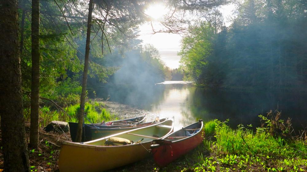
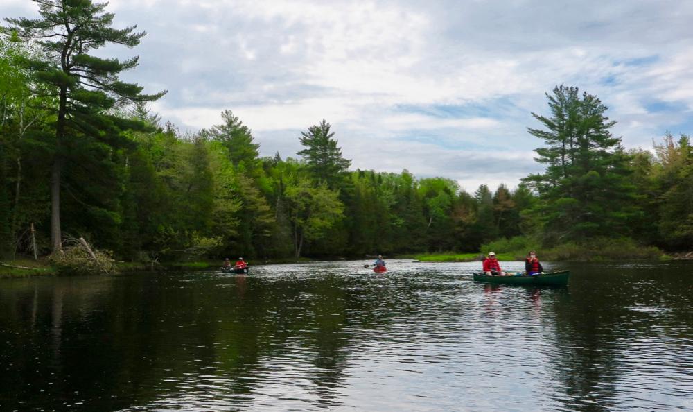
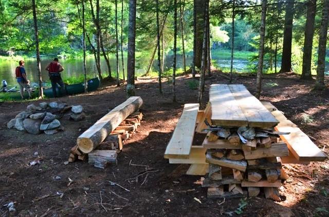
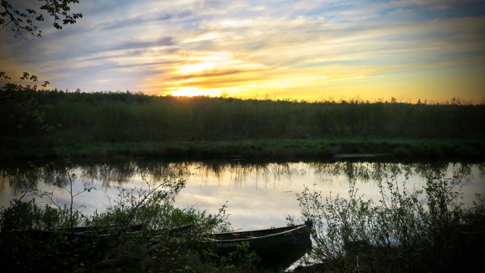
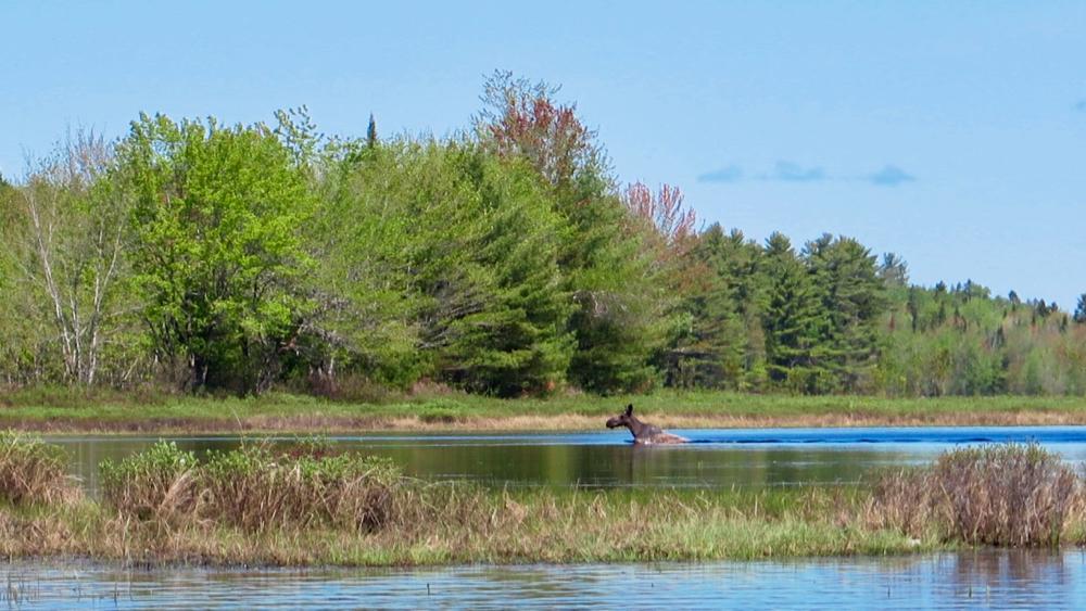
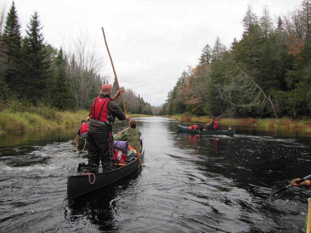
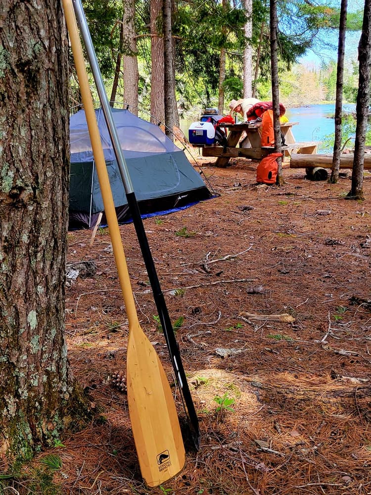
This lesser known, remote canoe trip is mostly flatwater, and offers excellent opportunities for small mouth bass fishing, moose watching and viewing beaver, otter, eagles, and waterfowl. It makes for a great one to four day soft adventure with several put-in and take-out options. The trip is dependent upon water levels, typically it can be paddled from early May to early June, and in the fall when the water level is sufficient.
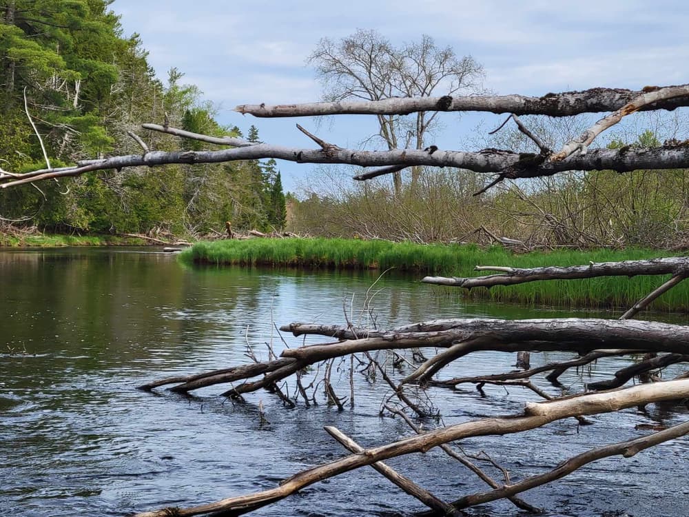
From the White Farm Road put-in, the river meanders for 7.8 miles to Baskahegan Lake. While paddling on Baskahegan Lake and the Flowage just south of Danforth is possible in low water, attempting a paddle trip on the stream sections in low water is not recommended.
It is 4.3 miles across Baskahegan Lake to the outlet, where there are remains of a washed-out dam. Stay in the middle of the main chute (easy quick water) to avoid a spike that is on the far right next to the shore.
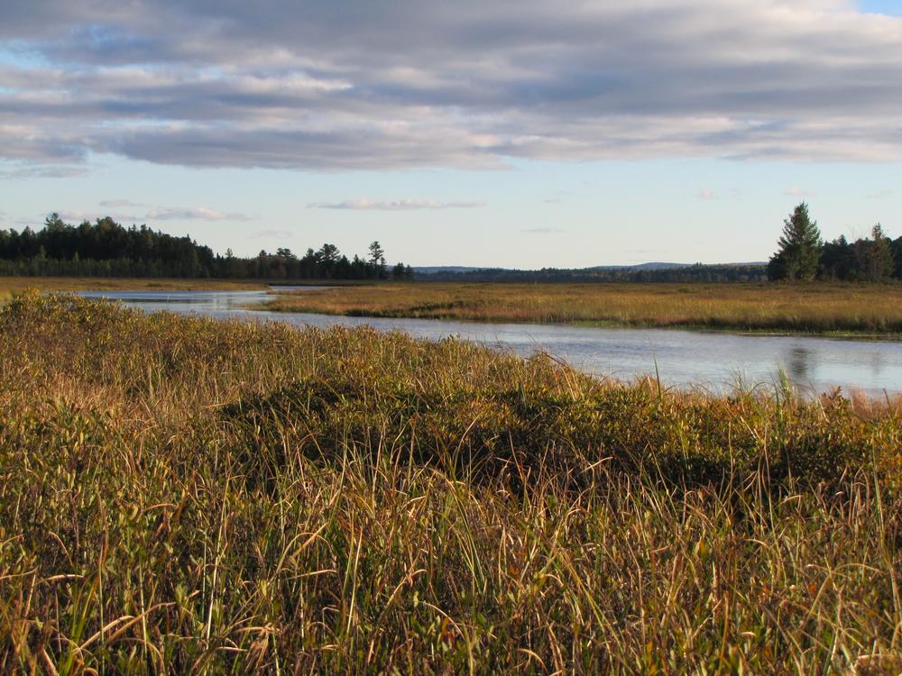
The stream from the Baskahegan Lake outlet to Crooked Brook Flowage is 9.3 miles. The first stretch travels through a bog, with good opportunities for spotting moose. The last four miles have a little stronger current with a couple of spots that may be class I.
It is 3.5 miles on Crooked Brook Flowage north towards the dam in Danforth. There is a public boat launch in Danforth as an optional take out 0.3 miles before the dam. Caution: Be sure to take out or portage at this location, before the Danforth dam. To continue another 8.5 miles to the 2000 Road take out, portage around the dam on the left, taking out just before the dam, and then putting in just before the train tressel or carrying across the street to launch just north of the road bridge.
The 8.5 miles north of Danforth is mostly flatwater with a couple of quick water sections in the middle, and one class I rapid in front of a cabin 0.3 miles before the take out. The take out is located on the right just before the 2000 Road bridge. Caution: below the bridge the stream turns into class III-IV with ledge drops. These ledges can be portaged around (a few hundred yards down Bancroft Road) to optionally continue to the Mattawamkeag River.
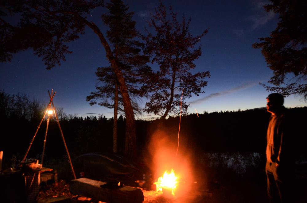
A permit is required for campfires. To obtain a fire permit, call the Maine Forest Service, Old Town at (207) 827-1800.
For additional information, visit the Canoe the Wild website, or contact:
Canoe the WildPUT-IN AT WHITE FARM ROAD
From US-1 in Topsfield, head west on ME-6 (Old Codyville Road) for 9.8 miles. Take a right onto White Farm Road, and go 1.1 miles to the put-in at the bridge. Please note: this can be a very rocky stream launch at times of low water.
TAKE-OUT AT DANFORTH LANDING
From US-1 in Danforth, (20 miles north of Topsfield), head west on ME-169 for 0.5 miles. Turn left on Horseback Road, and the boat landing will be immediately on the left.
TAKE-OUT AT 2000 ROAD
From ME-169 and the bridge in Danforth, (20 miles north of Topsfield), head north on Bancroft Road for 7.8 miles. Turn left on 2000 Road and go 0.1 miles to the bridge. The hand-carry launch is to the left (east) of the bridge.
Success! A new password has been emailed to you.