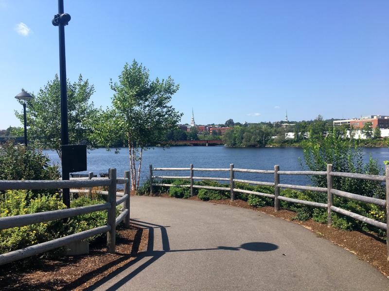
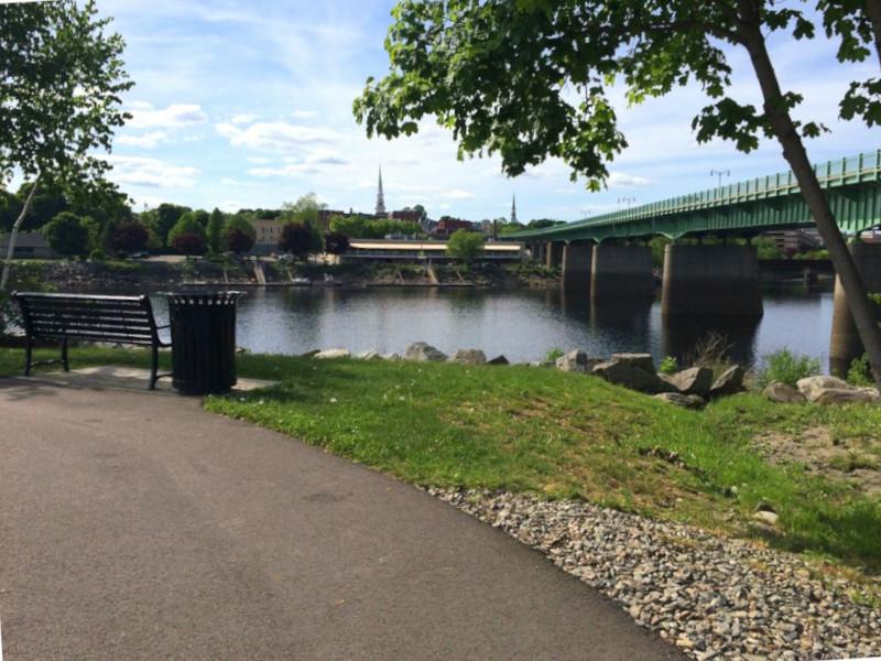
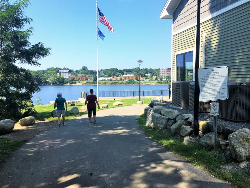
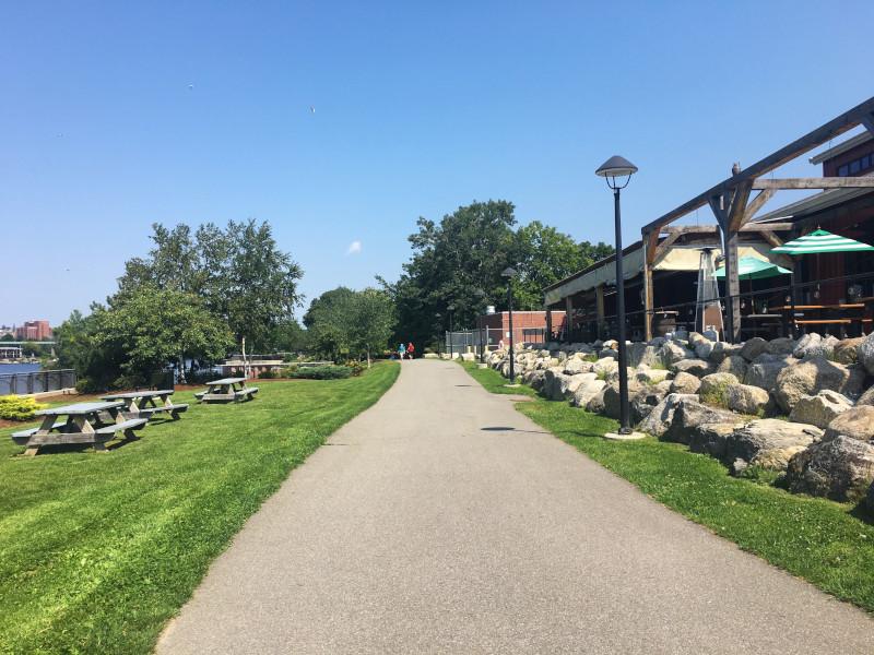
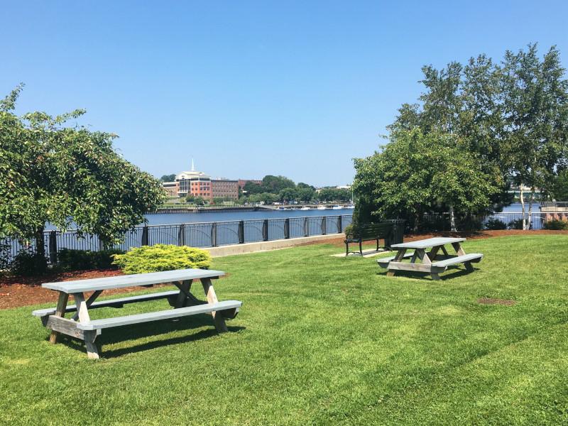
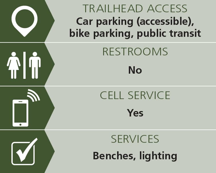
Great for walking, dog walking, and evening strolling, the paved Brewer Riverwalk hugs the shoreline of the Penobscot River. It is wide, flat, and lighted, and features numerous benches along the way. The mowed grass between the walkway and shore provide wide-open views of the river for its entire length.
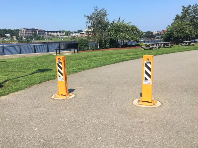
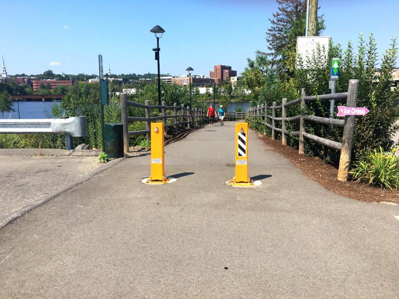
The paved walkway is ten feet wide and of a mostly level grade, with typically 0-2% grades and two locations where the grade is 3-5%. From the parking lot at the northern trailhead, the walkway heads downhill for 100 feet at a grade of 10%. There are metal posts to keep out motorized vehicles at each of its entrances, with a minimum of 30 inches between the posts.
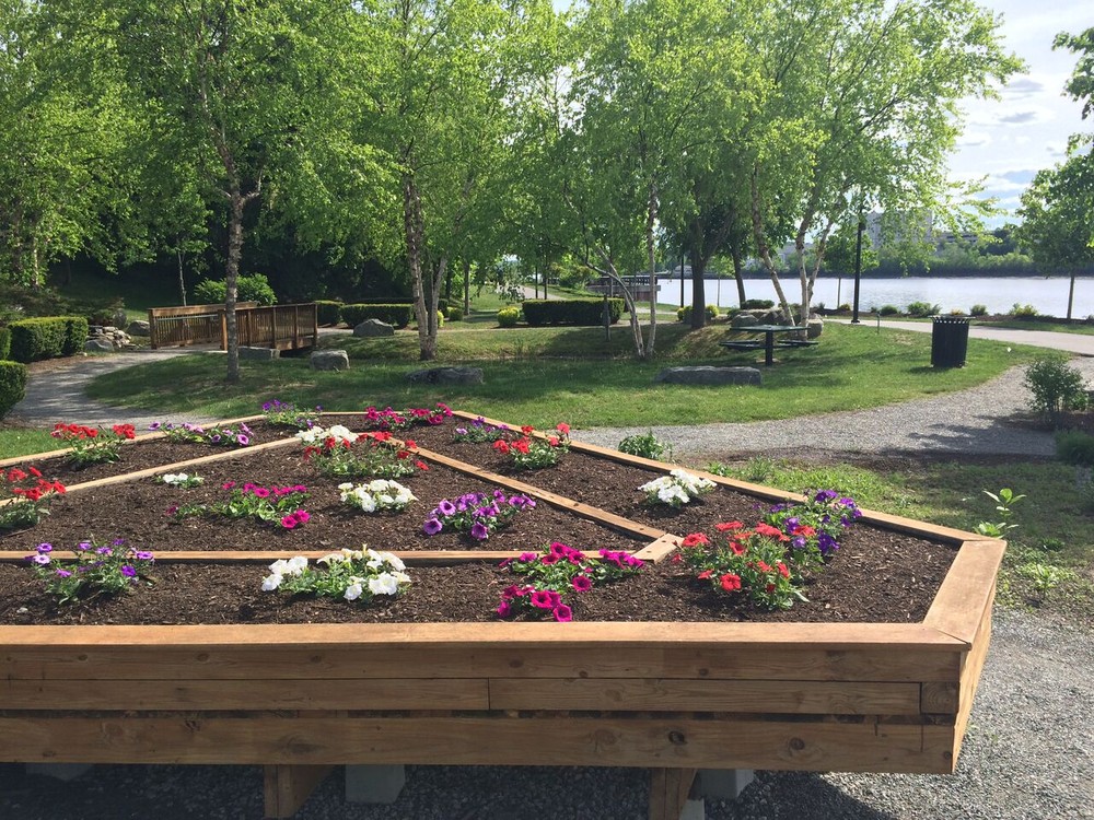
The half-acre Children's Garden, located midway along the trail, features themed plantings, short walking paths, a waterfall, and an area for events such as weddings or performances.
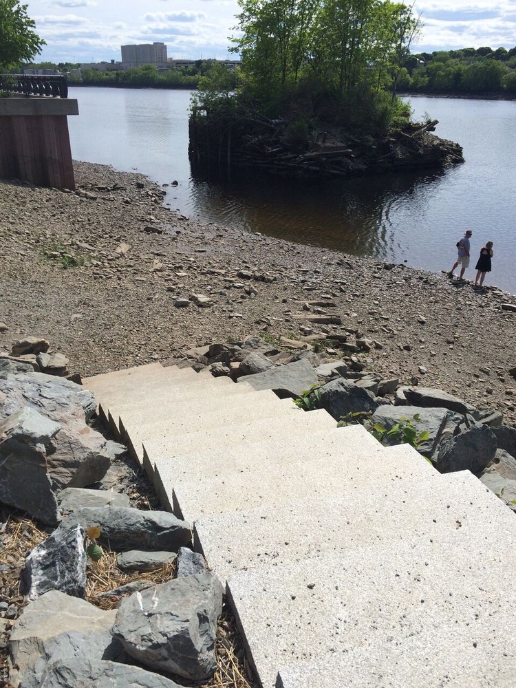
The river and shoreline (at low tide) can be accessed by a set of granite steps, which also serves as a hand-carry boat launch.

Trail conditions can change without warning. Trail last assessed: 5/5/2025
The City of Brewer began developing the waterfront in the early 2000s, starting with a large shoreland stabilization project and the creation of the Children’s Garden. The first half of the current Riverwalk running from Hardy Street to the Joshua Chamberlain Bridge opened to the public in 2013. Now the second phase of the Riverwalk is completed, doubling the length of the trail. The new phase runs from Penobscot Street to the Joshua Chamberlain Bridge. There is a tunnel under the bridge joining the two phases of the trail. There has since been an additional trail extension to the south.
Visit the City of Brewer online for more information or contact:
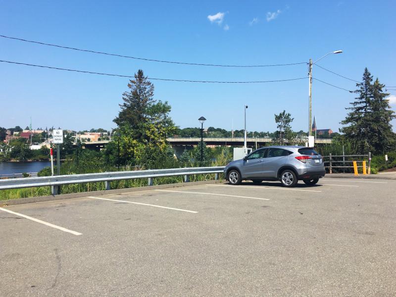
City of BrewerThe trail can be accessed from both ends. Trail parking is also available on either end: on the southern end there is limited parking available in front of the Masons Brewpub, on the northern end parking is by the Veteran's Park.
For northern parking: From US-1A and the Joshua Chamberlain Bridge, turn left onto North Main Street, then go three blocks and take a left on Betton Street. Go 430 feet to where Betton Street curves to the right, the parking lot is on the left.
For southern parking: From US-1A and the Joshua Chamberlain Bridge, turn onto South Main Street and then right onto Hardy Street. Drive roughly 100 yards to the parking area in front of Mason's Brewing Company. Park only in those spots reserved for trail users.
Success! A new password has been emailed to you.