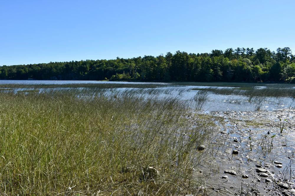
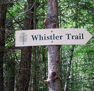
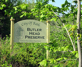
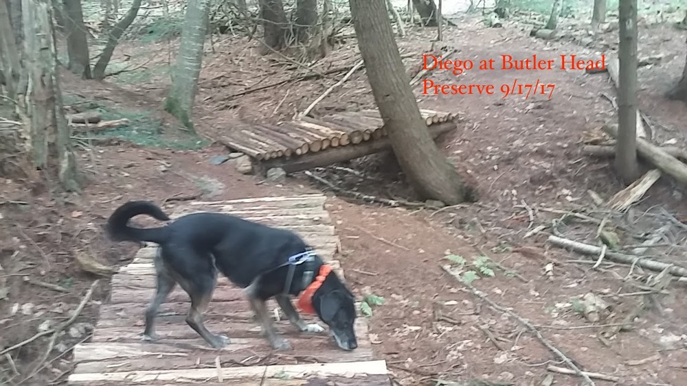
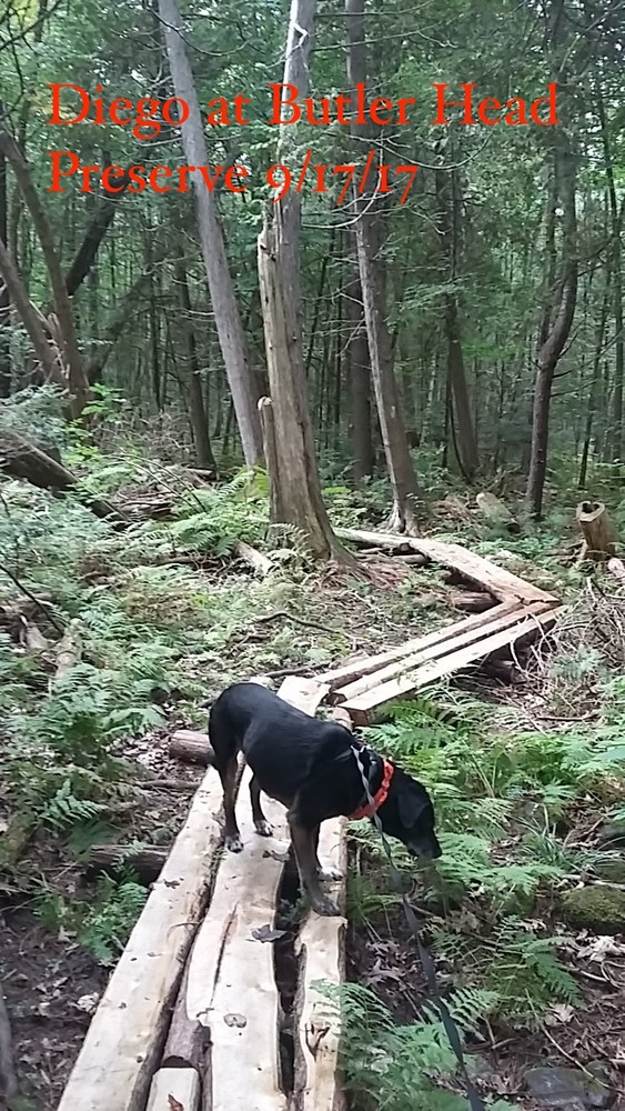
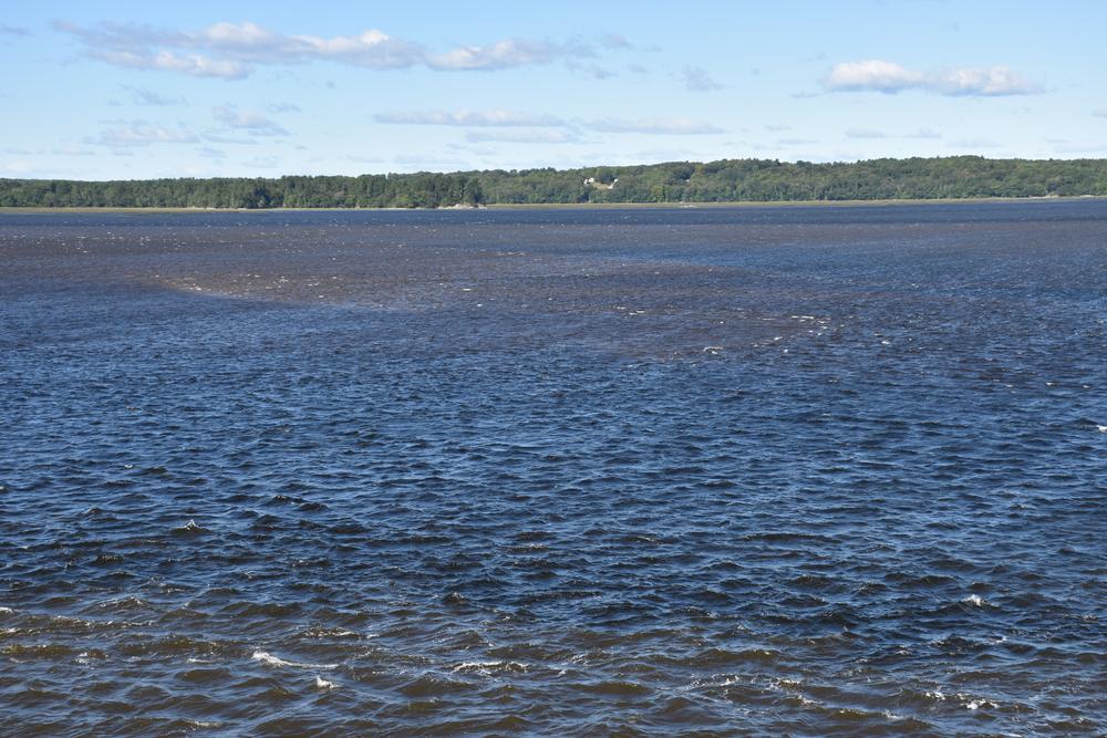
Butler Head is a 141-acre woodland site on Merrymeeting Bay that has recently become part of a conservation easement held by the Kennebec Estuary Land Trust. The land has a small network of walking and hiking trails that afford users a quiet place to observe the local wildlife and enjoy the area's scenic waterfront views. The area not only serves as a location for low-impact recreation, but is an example of a local forest management plan in action.
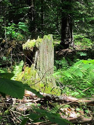
In 2007, a Forest Ecosystem Management Plan for Butler Head and Whiskeag Woods was completed for the City of Bath as part of a joint venture with Maine Audubon and towns and land trusts that own forested lands. The objective of the project was to help Maine communities develop ecologically based forest management plans for their cities and towns. Today, Butler Head is well on the way to reaching the goals of the study through the preservation effort of the easement. Butler Head is a work in progress and it will be years before the goals are reached.
For more information about the trails and the land, visit the Bath Community Forestry Committee online, or contact:
Bath TrailsOut of Bath, drive west on US-1 South and continue for 2.3 miles. Take the New Meadows Road exit and turn right towards West Bath, continue for 0.8 miles. Turn right onto Old Brunswick Road then immediately turn left onto Ridge Road and continue for 2.1 miles. Turn right onto North Bath Road, then immediately left onto Varney Mill Road and continue for 0.7 miles. Turn left onto the unpaved Butler Head Road and continue for 0.4 miles and the trailhead will be on the left.
Please note that the underlying Google Maps road data is inaccurate in this area. The kiosk map will help orient you to the actual road layout.
Success! A new password has been emailed to you.