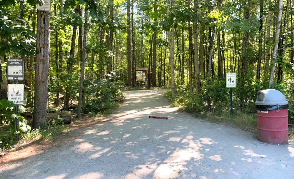
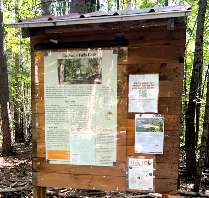
Cascade Falls is well-known for its captivating 20-foot horsetail waterfall, which has mesmerized visitors for centuries. Cascade Brook flows year-round over the falls, which are best viewed in the spring and fall. But Cascade Falls also has a rich human history. There are four well-marked trails in the Cascade Falls trail network.
Trout Pond Loop (0.25 miles)
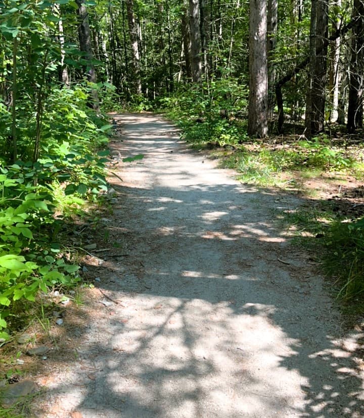
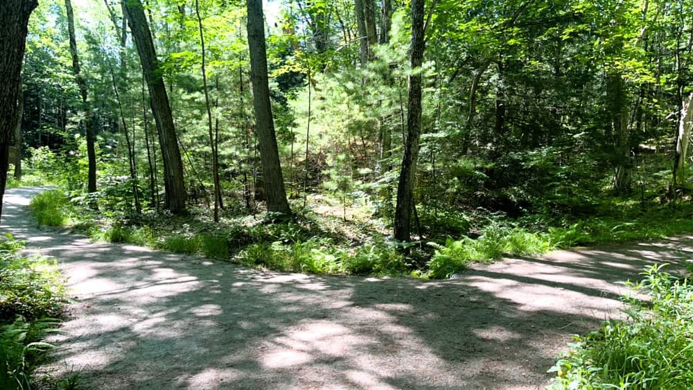
Marked in pink, the Trout Pond Loop is a gentle 0.25-mile loop surfaced with stone dust. The trail slopes gently through a mixed pine and hardwood forest. While the Trout Pond Loop is generally relatively flat, there are two sloped sections that each have 12% slopes for 50 yards. Cross slopes are minimal and the surface is firm throughout. There are no rest areas on this trail. See Trail Access Information & Considerations below for more details on this access(ible) experience.
Brookside Trail (0.16 miles)
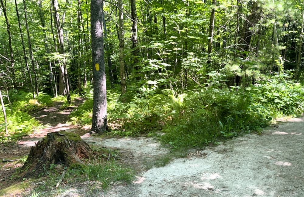
Departing from the Trout Pond Loop: Marked by yellow blazes, the Brookside Trail descends towards the edge of Cascade Brook. This trail navigates over some roots and uneven terrain as it follows the edge of Cascade Brook. After about 400 feet (0.07 miles), a short spur trail from the right leads to the entrance of the fairy house village. The Brookside Trail continues straight, then turns right to follow the brook again until it meets the Falls View Trail just before the bridge.
Ledge Trail (0.11 miles)
The ledge trail blazed in green, proceeds down the south side of the falls to the lower falls viewing. you'll see the fencing along the south side of the Upper Falls viewing area. This area is surrounded by safety fencing for your protection. Please enjoy the view from a safe distance and do not climb or bypass the fences. The Ledge Trail quickly descends from the clearing to the base of the falls, dropping roughly 25ft in elevation over the short 0.1-mile distance. Once you reach the bottom, you will be rewarded with a spectacular view of the falls.
Falls View Trail (0.16 miles)
Marked in blue, the Falls View Trail departs from the Trout Pond Loop, about 0.06 miles from its intersection with the Ledge Trail, and heads towards Cascade Brook. After a short distance (approximately 0.03 miles), you'll cross a large bridge over the brook.
Once across, the trail turns right and follows the brook's edge. At about 0.05 miles, you'll reach the north side of the Upper Falls Viewing area. This area is surrounded by safety fencing for your protection. Please enjoy the view from a safe distance and do not climb or bypass the fences.
You will see the old slate quarry on your right, beyond the fence and then pass over the remnants of the old dam that once created the trout pond.
The trail leads to the Lower Falls viewing area at approximately 0.14 miles. This is a great spot to explore, offering views of the scenic lower section of Cascade Brook. You'll notice a significant amount of slate here, with the site of an old 19th-century slate quarry visible just to the right of the falls.
(Applies to Trout Pond Loop)
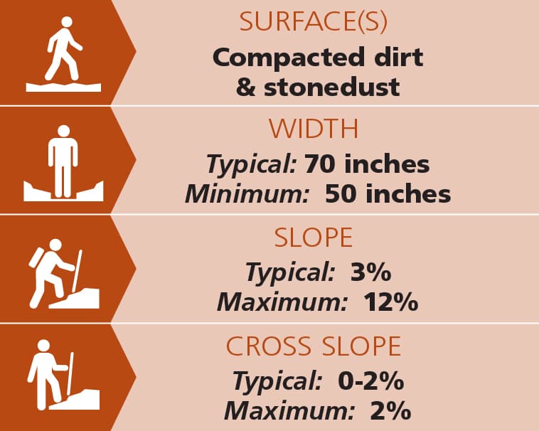
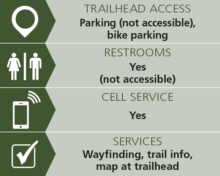
Trail conditions can change without warning. Trail last assessed: 7/11/2026.
The trails are built and maintained by volunteers and members of Saco Bay Trails. This trail system is a work in progress. Because of the location and popularity of this site, trash and vandalism are constant problems. Please make sure to “leave no trace” and to keep your dog on a lead. In addition please use poop bags. If you do see vandalism or excessive trash, please use the Trail Manager contact information below and visit our website and click on Trail Condition Report to notify us. Thank you for helping us keep this trail clean.
In spring, summer, and fall, ticks and other biting insects may be plentiful. Visitors should take precautions to avoid these, especially ticks and possible exposure to Lyme disease.
Visit Saco Bay Trails online for more information or contact:
Saco Bay TrailsFrom downtown Saco, take US-1 north to Cascade Road (ME-98). Take a right onto Cascade Road; go about 0.25 mile and turn left into the parking lot.
Success! A new password has been emailed to you.