Curtis Farm Preserve

This is the print view for this trail. View the full trail posting.

The trails at Curtis Farm Preserve offer much diversity to visitors, traveling through field, forest, and to coastal bays, with scenic views along the way.
Trail Activity
Hiking Walking Snowshoeing
Length
1.20 miles, Network
Difficulty
Moderate
Town
Harpswell
Surface
Dirt/Forest Floor, Boardwalk/Bog Bridging
Pets
Permitted
Fees
No

Description

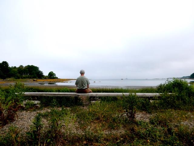
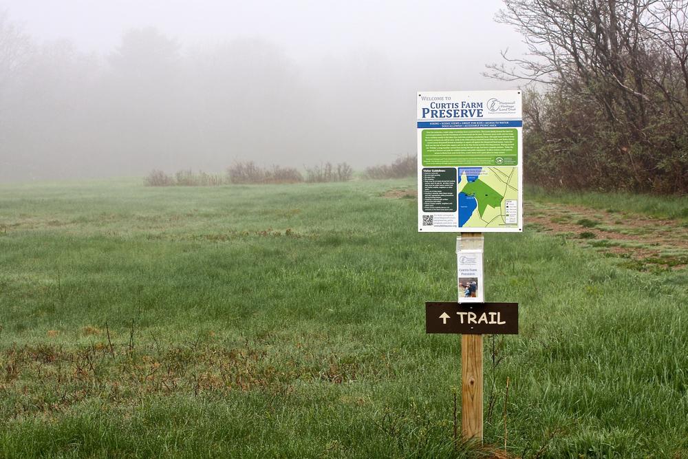
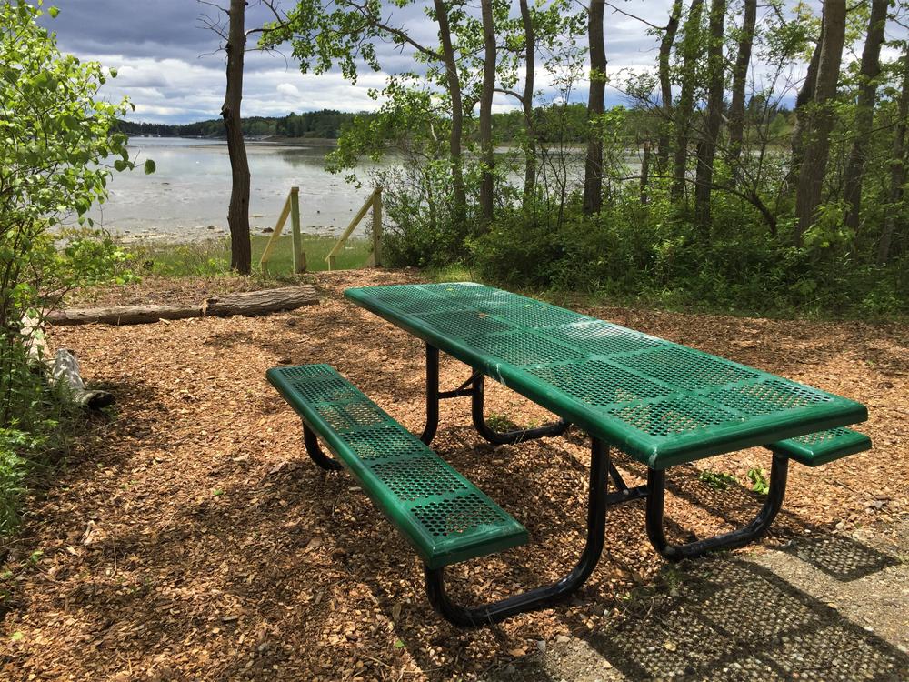
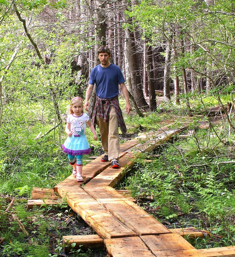
Curtis Farm Preserve offers visitors off-road parking for vital shoreline access, quiet trails, a mix of forest types, and wide open space to fly a kite or watch migrating raptors. An accessible picnic area on Basin Cove offers a place for rest and relaxation.

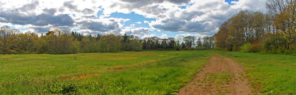
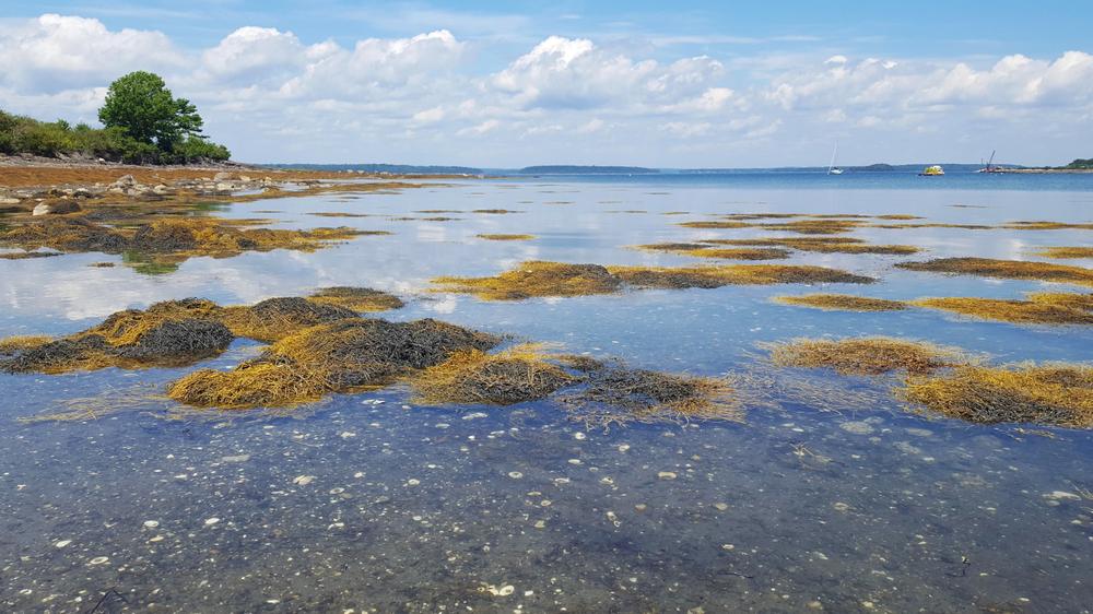
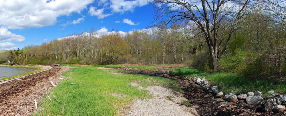
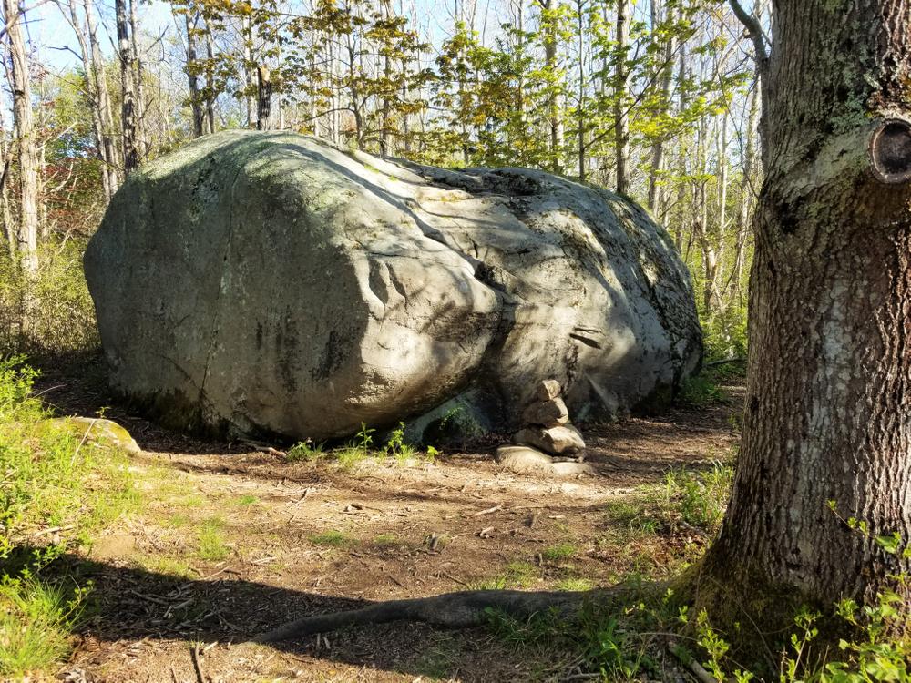
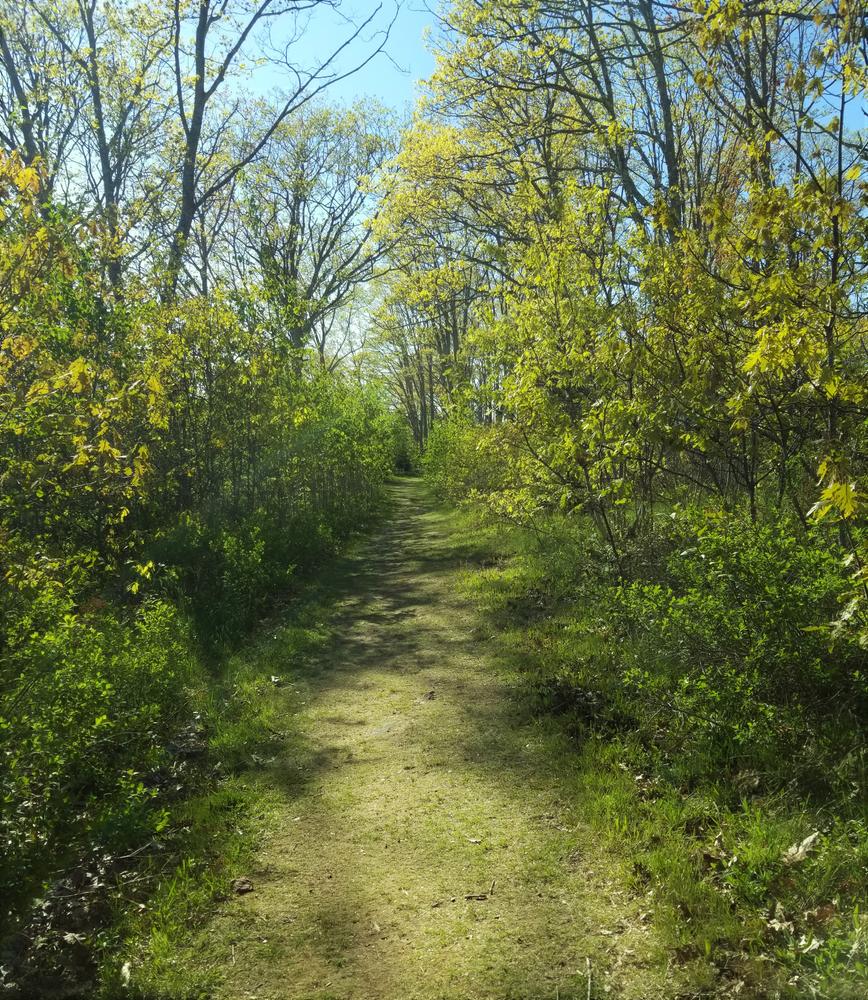
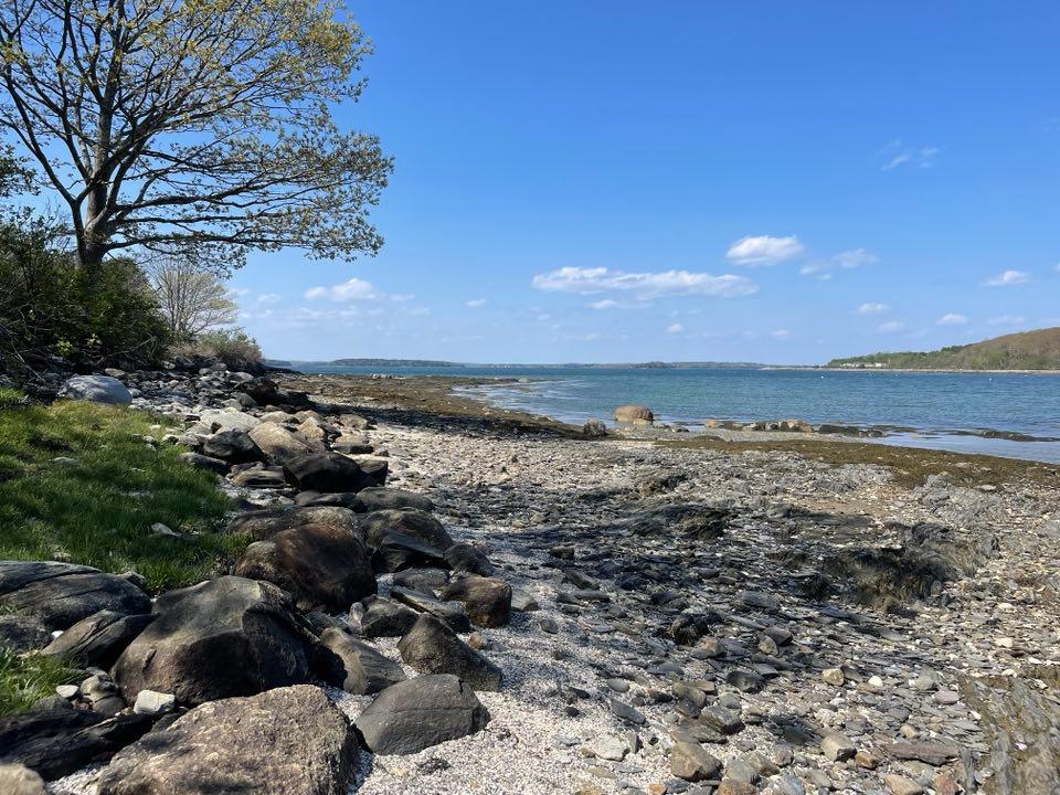
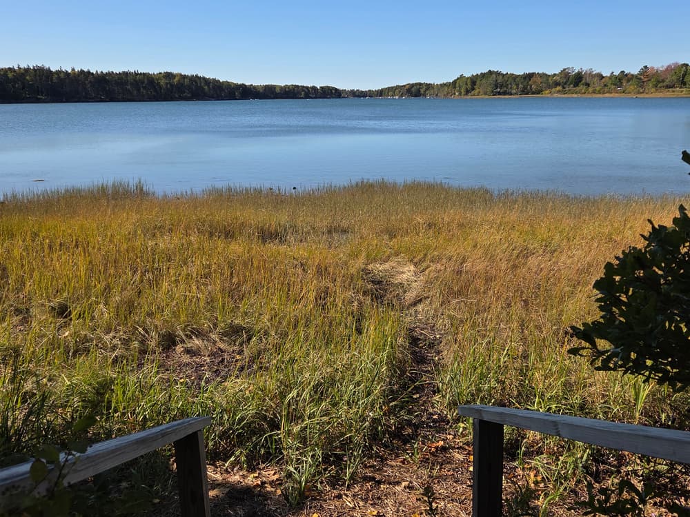
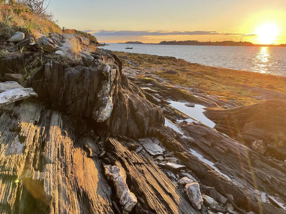
The trails take visitors through field, forest and to coastal bays, with scenic views along the way. The Preserve includes nearly 2,000 feet of shoreline on both Curtis Cove and Basin Cove, gravel beaches, a freshwater pond, forested freshwater wetlands, and 15 acres of intertidal mud flats for shellfish and wildlife nursery areas. Running up the ridge from the shore of Curtis Cove, the habitat runs from fresh water wetlands to brushy shrub areas, a mix of softwood and hardwood forest, and a six-acre open field. On a clear day, the views across Middle Bay as far west as Mount Washington are impressive.

Other Information

VISITOR GUIDELINES

  • Carry in, carry out.
  • Pedestrian use only.
  • No overnight parking.
  • No open fires.
  • No camping.
  • Dogs must be on leash during bird nesting season, April 15-July 31. All other times, dogs must be under owner control and not bother wildlife, neighbors or other users.
  • Carry out all dog waste.
  • Hunting is allowed. Wear blaze orange and take appropriate safety precautions during hunting season.
  • Trapping is allowed with written permission from HHLT.
  • Please respect wildlife, neighbors and other users.
  • Power driven mobility devices are allowed at Basin Cove picnic area.

Trail Manager

For additional information, visit the Harpswell Heritage Trust website, or contact:

Harpswell Heritage Land Trust
PO Box 359
Harpswell, ME 04079
Phone: (207) 721-1121
info@hhltmaine.org
View website

Nearby Events

VIEW EVENTS CALENDAR

Trail Tips

Minimize Campfire Impacts
Use only small pieces of dead and down wood for campfires and let them burn down to ash. Please extinguish your campfire before leaving.

Trailhead Information

1554 HARPSWELL NECK ROAD (UPLAND ACCESS)
From the intersection of ME-123 and Bath Road by Bowdoin College in Brunswick, follow ME-123 (Harpwell Neck Road) south for 11.4 miles. The parking lot is in a field on the right.

104 BASIN POINT ROAD (SHORE ACCESS)
Follow ME-123 south another 0.2 miles past the Harpwell Neck Road parking lot above, then turn right on Ash Point Road. Take the first right onto Basin Point Road and drive 0.5 miles to the parking lot on the right.

Legend
Hide All
Join In on the Fun!
Log in or create an account below to unlock all the great features of Maine trail finder: keep track of trails you want to do, preserve memories of trails you’ve done, earn badges, and more!
Your log in attempt was not successful. Please try again.
    Lost your password? Reset your password
    Don't yet have an account?
    There was an issue with your submission. Please try again.
      * Indicates required field
      Already have an account? Login here
      Enter your username, and we will send you a new, randomly generated password to your email account.
      There was an issue with your submission. Please try again.

        Success! A new password has been emailed to you.

        Log in now

        Please wait…