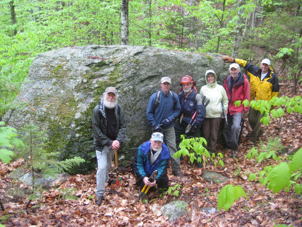
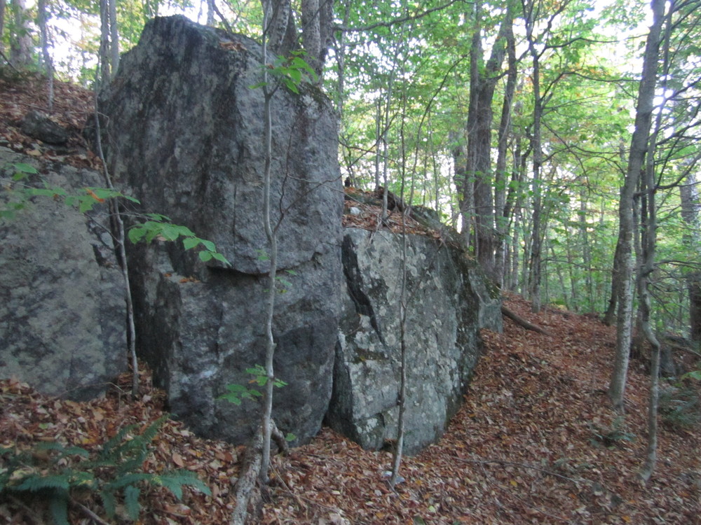
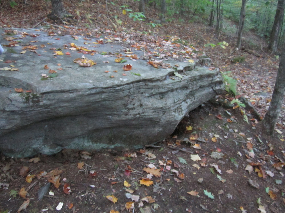
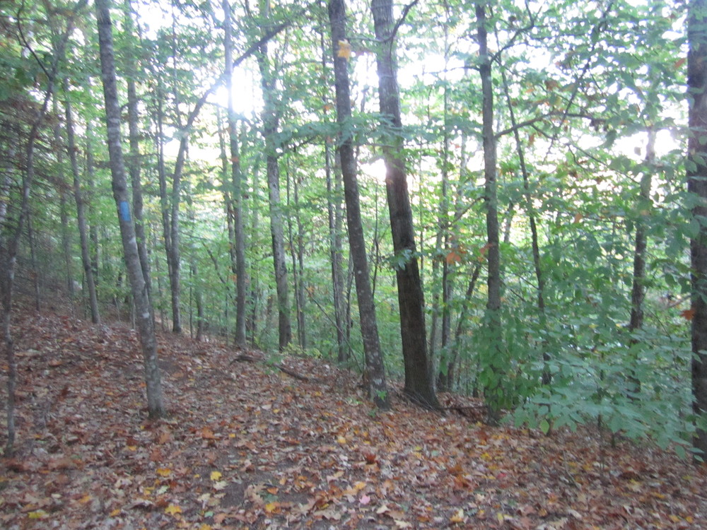
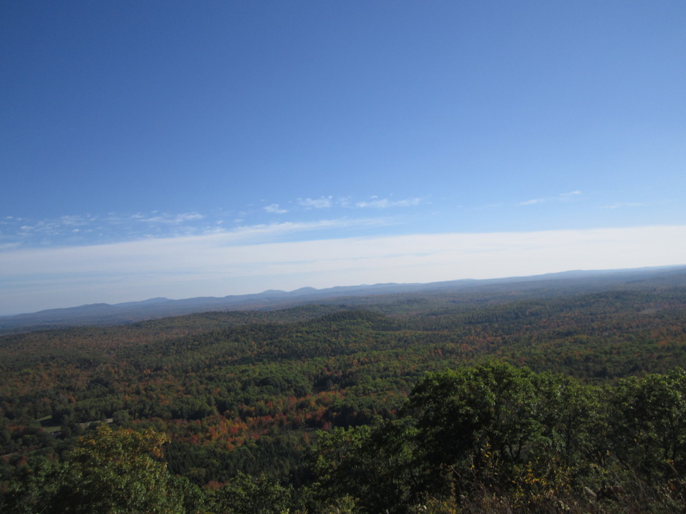
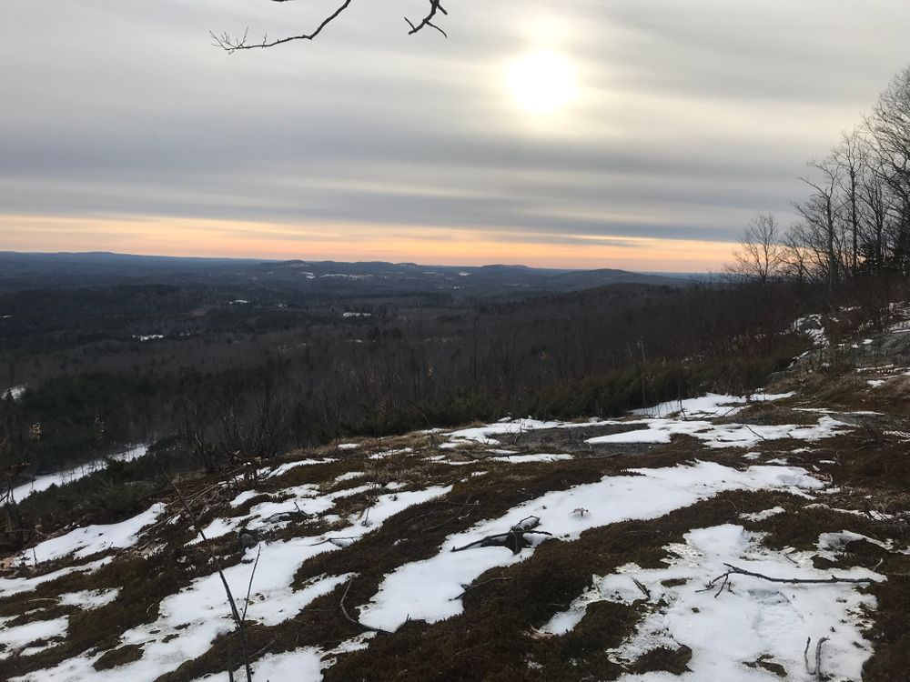
The Hogback Mountain section of the Georges Highland Path trail system in Montville, ME, takes hikers past the gigantic glacial erratic known as “piano rock,” through a young beech forest, and up a 50-foot cliff with tiny cascading waterfalls. The payoff at the summit (1,115 feet) is a fantastic southerly view of the Georges River watershed. Hogback Mountain sits to the west of Frye Mountain and the trails of both mountains are linked for an 11-mile adventure.
There is also a trail that leaves from the Hogback summit loop and connects to the Sheepscot Headwaters Trail Network, maintained by Midcoast Conservancy, a nonprofit conservation organization. This partnership has opened up an additional 15 miles of trails for the public to enjoy, featuring old growth hemlock forests, a large hidden marsh, and the rollicking headwaters of the Sheepscot River.
Please respect that this trail is on privately owned property and help keep it open to the public by staying on marked trails.
This trail can be slippery due to leaves on the trail in fall and early winter. No overnight camping is allowed. We recommend that hikers wear blaze orange when using Midcoast Conservancy trails during deer rifle hunting season (October-November).
Visit Georges River Land Trust online for more information or contact:
Georges River Land TrustAccess is via the Frye Mountain parking area. From the intersection of ME-3 and ME-220 in Liberty, follow ME-220 north for 6.5 miles to an unsigned road on the right, immediately across from Bean Road on the left. Park at the Maine Department of Inland Fisheries & Wildlife maintenance building, located 100 feet down the unsigned road and visible from ME-220. From the parking area, walk north on ME-220 for 1000 feet. Trail leaves the road on the left.
Success! A new password has been emailed to you.