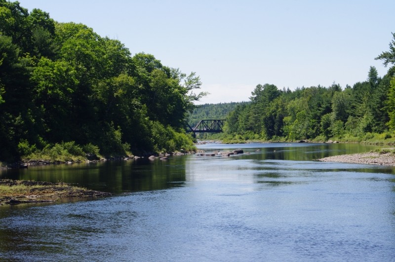
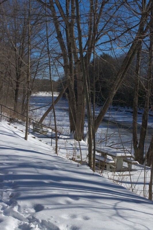
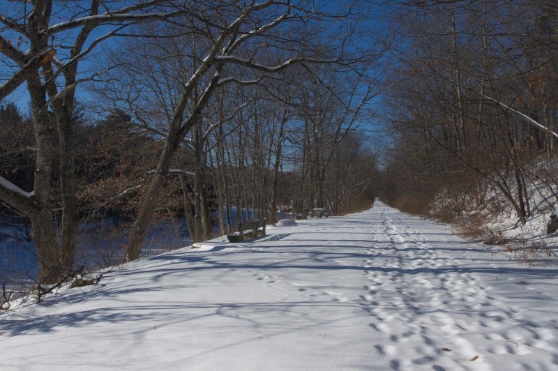
Along this stretch of the Piscataquis River there are verified sighting of Bald Eagles, Osprey and Blue Herons. Picnic tables and benches make this a perfect quiet place to stop and stretch, and enjoy a relaxing break under a verdant red oak canopy along the riverbank. Along the way, enjoy the ballpark, horseshoe courts, playground and a stroll down Water Street past the Veteran's War Memorial.
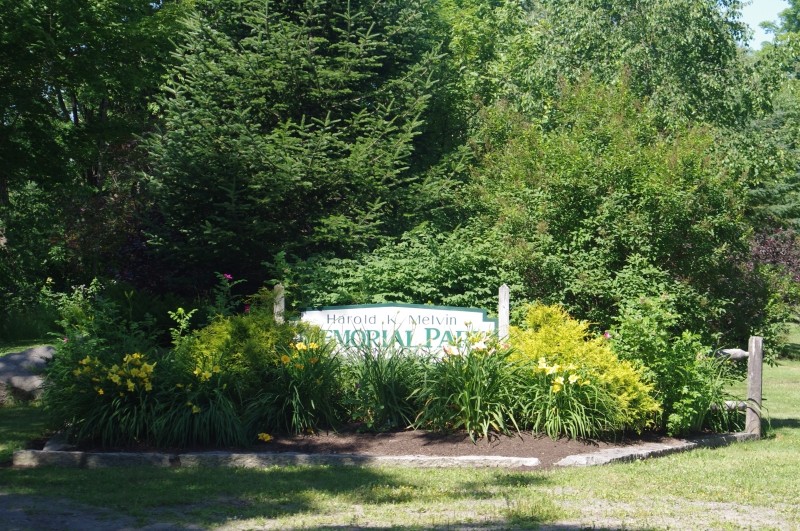
The trail is in two sections; one enters via the gorgeous Harold Melvin Memorial Park and follows the river west. The other larger section starts near the terminus of route 23 and travels in both east and west directions with picnic spots along the way. These two sections can be connected by following Water Street from the Harold Melvin Memorial Park east to the Old Railroad Grade Road on the right hand side of the street. However, for a walk with significantly less traffic and more pleasant scenery including several parks, walk around the athletic fields to follow River Street joining Water Street again near the Guilford Memorial Library.
Visit Town of Guilford online for more information or contact:
Town of GuilfordME Route 23 Trailhead: From Sangerville head north on ME Route 23/South Main Street 0.4 miles till you cross the bridge. Parking is on the right hand side of the road with trail heads on both sides.
ME Route 150 Trailhead: From Sangerville head north on ME Route 23/South Main Street 0.5 miles. Turn left onto ME Route 15 N/ME Route 16 W/ME Route 6 W/Water Street 1.3 miles until Harold Melvin Memorial Park sign is visible in the right side of the road with parking immediately in front of the park.
Success! A new password has been emailed to you.