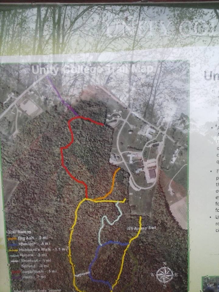
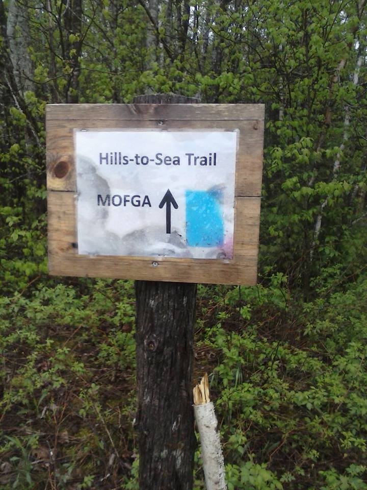
This trail was completed in 2013 as the first phase of the Hills to Sea Trail connecting downtown Unity to the Maine Organic Farmers and Gardeners Association's (MOFGA) land in Unity.
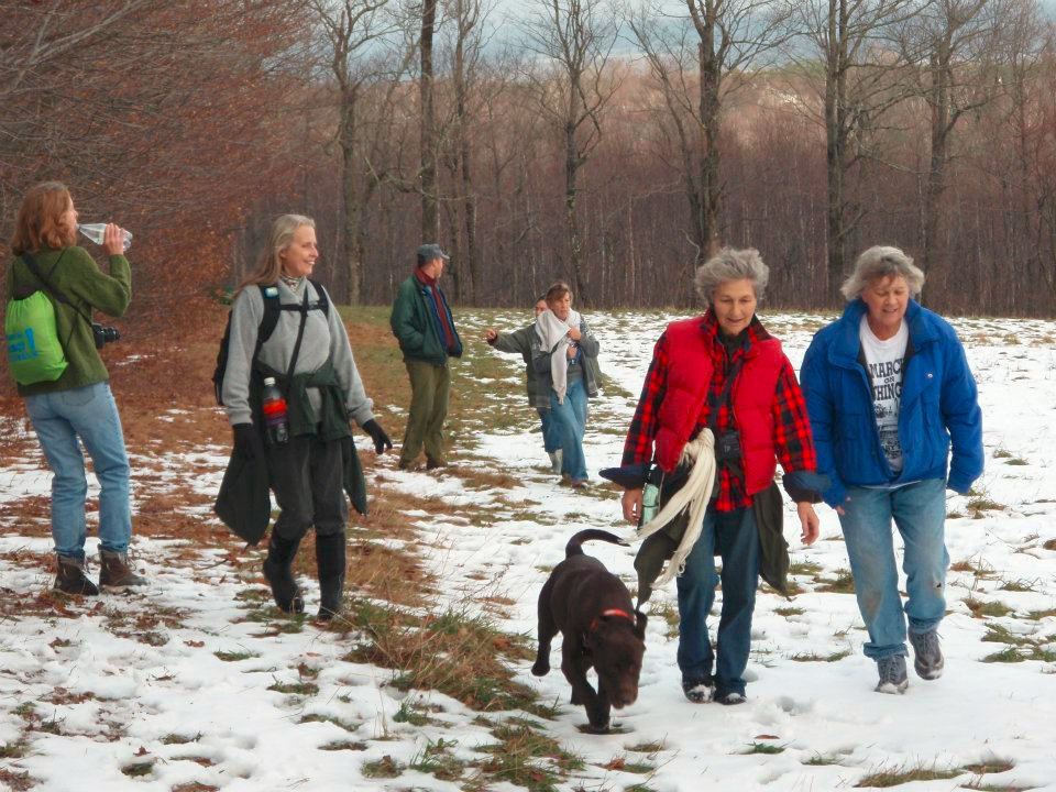
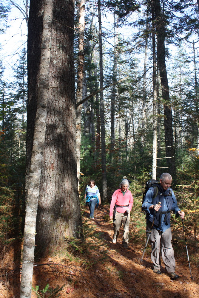
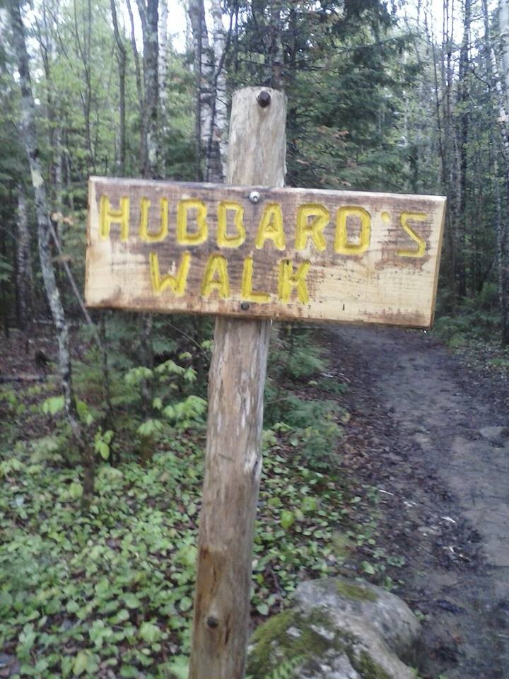
Please always respect the land and the landowners. Our trail is marked with blue blazes and yellow Hills to Sea logo signs. Some of the properties it travels through have their own trail networks, so be sure to follow the Hills to Sea blazes and markers.
Two more sections of the Hills to Sea trail were added in 2015: one in Belfast and Waldo, the other in Freedom. The 2.5-mile Freedom section begins next to the intersection of the Freedom Pond Road and Goosepecker Ridge Road and goes north crossing ME-137 and ending at the Weed Road. There is year round parking at Freedom General Store on ME-137 and limited seasonal parking where the trail intersects the Weed Road.
Work is underway to extend the trail from Unity to Montville where it will connect with the 28-mile network of trails managed by the Midcoast Conservancy and Georges River Land Trust. Eventually, the trail will extend to Belfast where work is underway to push west from Route 137 and meet the existing trail at Frye Mountain in Montville. This trail does not always take the shortest route possible, partly because we want to bring the trail through scenic areas that showcase both the natural and the working landscapes of the area, and because we depend on willing landowners to allow us access to these properties.
Please be cautious of other activities that may be occurring on these lands, as some properties are actively farmed and logged.

This trail passes through a property that was acquired in part with funds from the Land for Maine’s Future program. For more information about the LMF program and the places it has helped to protect, please visit the LMF webpage.
The Waldo County Trails Coalition (WCTC) includes nine organizations, six of which currently manage hiking trails in the region between Unity, Maine, and Frye Mountain in Montville, Maine: Belfast Bay Watershed Coalition, Future MSAD3, Georges River Land Trust (GRLT), Maine Farmland Trust (MFT), Maine Organic Farmers and Gardeners Association (MOFGA), Sebasticook Regional Land Trust (SRLT), Midcoast Conservancy, Unity Barn Raisers (UBR), and Unity College (UC).
Visit Waldo County Trails Coalition online for more information and a downloadable map or contact:
Waldo County Trail CoalitionThe entrance to the trail in downtown Unity is 80 yards south of Sebasticook Regional Land Trust located at 93 Main Street (Route 202). Parking is available on Main Street or in the parking lot across the street. On Unity College campus there is visitor parking in Lot E near the athletic fields that the trail crosses before entering the woods. There is a small “Hills to Sea” parking area about 100 yards downhill from where the trail crosses Quaker Hill Road at the midway point between Unity Village and MOFGA. The trail intersects Crosby Brook Road near MOFGA’s back entrance. There is a kiosk visible where the trail enters the woods at the edge of the field. Park in the field across from the trail intersection. During winter, park on the road shoulder.
Success! A new password has been emailed to you.