The Indian Trail is an extensive walk that runs along the Penobscot River in two sections with an adjoining trail. The entire trail is accessible from any of the access points noted. This description will detail the entire system starting at Indian Trail Park.
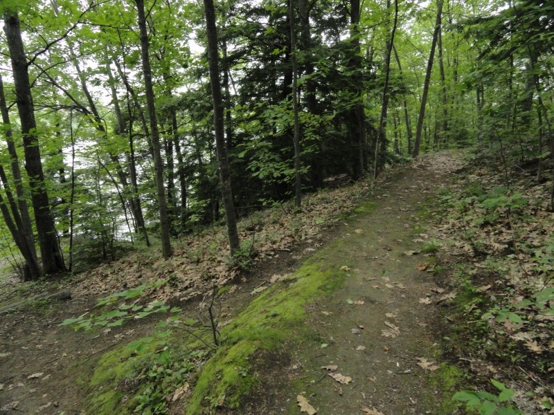
At Indian Trail Park, where there are portable toilets and ample park land and parking, access the trail by descending the railroad-tie stairs to a small park with a bench. From here, the trail enters the woods and heads sharply downhill towards the river (a side trail from the lower parking lot quickly joins there). The woods are fairly thick, but on a clear, sunny day, you'll have views of the blue waters of the Penobscot below. The trail is packed earth, often with stones and exposed roots providing stability on downward slopes.
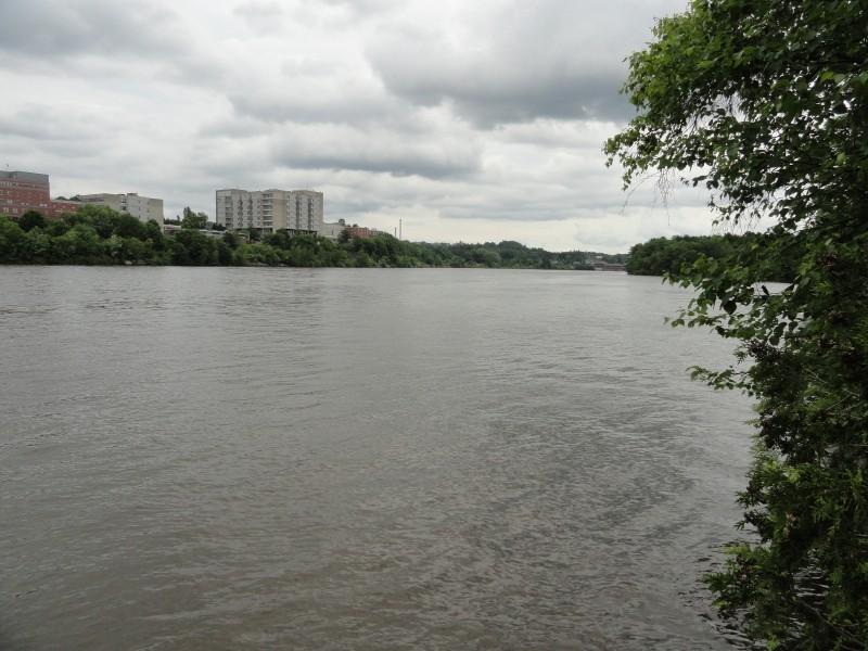
The trail soon cuts to the right and follows the river along a high ridge. At several points, there are side spurs to the trail that generally take you lower down this wooded slope toward the river. These slopes can be steep and can feature leaves or sand, which can make this a slippery trip, so watch your step. The first spur takes you down to ledge that sits about 20 feet above deep water, affording beautiful views of the river and greenery on the Bangor shore, interrupted only by the Eastern Maine Medical Center campus.
On the main trail above, at one point you'll be about 80 feet above the river, with a sharp slope to your left; the slope is heavily treed and bouldered, so there's little danger of any missteps ending you up in the drink, and again you'll have great views of the river through the trees.
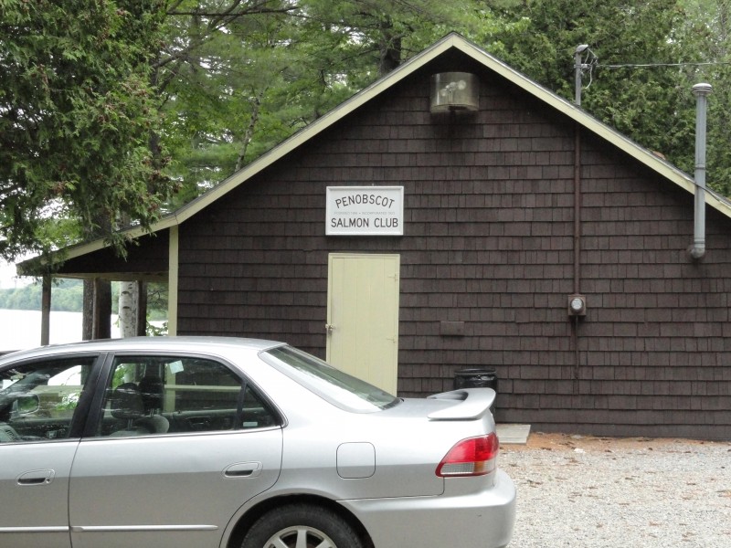
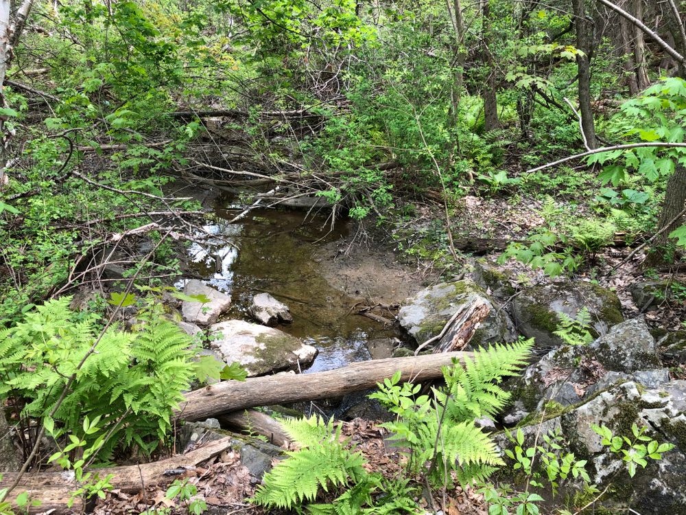
The trail descends a bit until it meets up with a T intersection. To the left, it follows a boulder-strewn stream bed and runoff point. The trail follows this a short way down the slope and ends at the river's edge. Going left up the hill at the T returns you to the parking lot. To do the entire loop, cross the rocks and pick up the trail that is the connecting path to the larger loop near the Penobscot Salmon Club and Penobscot Conservation Alliance. Be sure to stick on the main path winding along the rivers edge and avoid side trails leading to private property to the right.
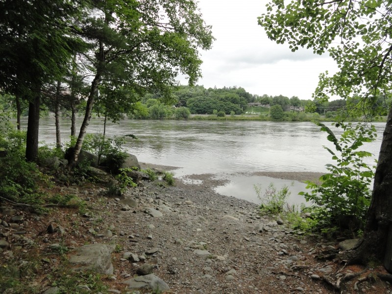
Eventually (just after passing two concrete storm drains about four feet high with green-painted tops), it arrives at the split where a larger loop begins. Following the river side, there is immediately a side spur that cuts through the woods down to a rock-ledge beach that affords great views and is a good place to stop for a break. From there, if you look upriver, you'll see the beginnings of a gravel beach.
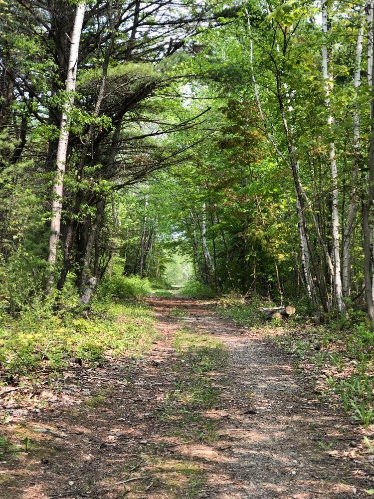
The trail continues with the Penobscot Conservation Alliance on the right. The trail varies between packed earth with occasional stones to gravel. Shortly before you arrive at the Penobscot Salmon Club (PSC), a spur to the left takes you down to that gravel beach. This beach is long and sprawling, running almost the entire length of the river side of this loop trail, all the way to the PSC where the beach turns to ledge, just below the remnants of the old dam. You can hit the beach and then access the PSC from there, or skip the beach and take the woods trail in. There is an outhouse at the PSC.
From the PSC, the trail continues (at the opposite side of the parking lot) to curve around and follow Felts Brook before doubling back to begin the return portion of the loop. This easy woods walk will take you around a pond before crossing the PCA access road and eventually returning to the end of the loop. Take the return trail back to the boulder-laden brook, where you'll climb the hill back to Indian Trail Park.
Portions of the trail—specifically, the side spurs that often involve steep descents to the ledge, rocks, and beach below—can be difficult and potentially hazardous. Beds of leaves and pine needles, loose rocks, sandy surfaces, and exposed tree roots on these steep descents can be dangerous. Make sure to wear appropriate footwear and have good footing and handholds.
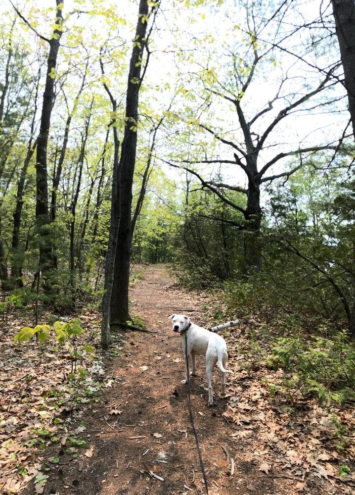
If you're in doubt, stay on the main trail, which is always moderate at worst, usually level and without much up-and-down movement. This is a comfortable, safe, and easy trail, but with side spurs that can be challenging.
Visit City of Brewer online for more information or contact:
City of BrewerThere are three public access points to this trail system in Brewer. The first is at Indian Trail Park via Indian Trail Lane, which is on North Main Street (ME Route 9), just beyond the North Brewer Shopping Center and before Parkway North (both on the right if you're heading north). There is ample parking in two dirt lots at this location.
The second access point is at the Penobscot Conservation Alliance, on the left just before you get to Twin City Baptist Church on the right on ME Route 9. There are two parking areas here: a small area on the road into the PCA, where this loop trail crosses the road, and the paved parking lot further up at the PCA.
The third access point is at the Penobscot Salmon Club, a short distance further up ME Route 9 on the left. This road runs quite a way through the woods before arriving at the PSC, which is nearly at the far northern end of the loop trail.
Success! A new password has been emailed to you.