The Ingersoll Point Trail network consists of just under 3.5 miles of trail. It's easy to spend several hours hiking and relaxing on the beach enjoying the view.
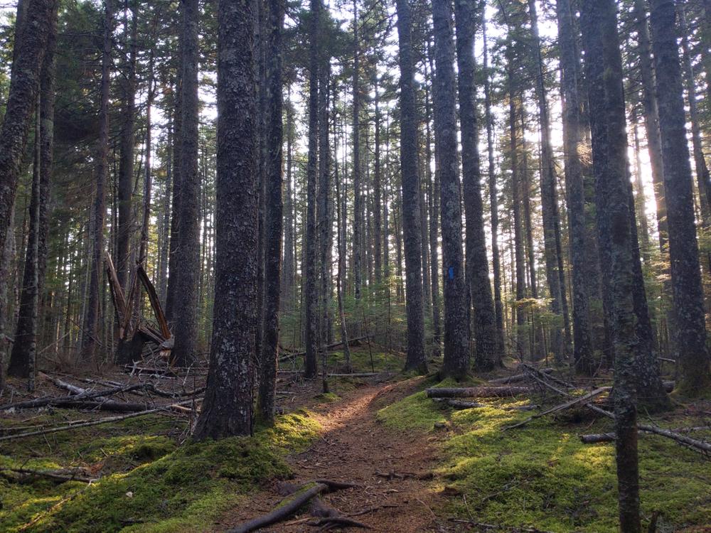
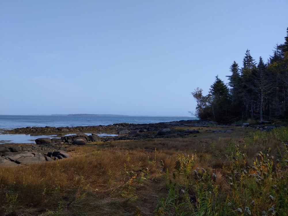
Adler Woods Trail (1.3 miles, one way): The Adler Woods Trail starts from the back of Union Church parking lot by the Ingersoll Point Preserve sign. After a short walk through the alder bushes, hikers will soon find themselves engulfed by the lush green of a forest carpeted with moss, lichen, sedges and other plant species. The trail passes by the cellar hole of the Ingersoll homestead before opening up to the beach at Ingersoll Point. The beach provides beautiful views across Wohoa Bay to Beals and other area islands. The Adler Woods Trail is blazed in blue.
Wohoa Bay Trail (0.8 miles, one way): The Wohoa Bay Trail breaks away from the Adler Woods Trail at the 3rd bog bridge. The Wohoa Bay Trail parallels to the south of the Adler Woods Trail before opening to the beach at Wohoa Bay. The trail continues along the beach where it connects with the Adler Woods Trail. The beach section of this trail can be very wet. Hikers may wish to use the Moss Trail as a connector to avoid the beach section of the Wohoa Bay Trail if desired. The Wohoa Bay Trail is blazed in yellow.
Carrying Place Cove Trail (1.0 mile, one way): The Carrying Place Cove Trail forks off of the Adler Woods Trail at Polypody Rock, where it travels through the forest until it reaches the shore at Carrying Place. From there, it follows the shoreline to the beach, where it connects with the Adler Woods Trail. The forest land along the cove is quite different than the interior trails. The Carrying Place Cove Trail is blazed in pink.
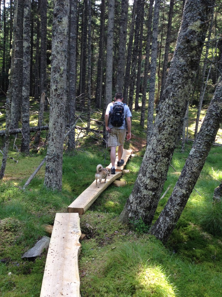
Moss Trail (0.3 miles, one way): The Moss Trail is a short but beautiful connector trail between the Wohoa Bay Trail and the Adler Woods Trail. The Moss Trail is a great area to enjoy the woods and the lush moss and lichen landscape. The Moss Trail is blazed in green.
Please practice carry-in/carry-out and leave no trace ethics. Please stay on the trail, moss, lichen and marsh soil are fragile. Please do not carve graffiti or initials in rocks, ledges or trees. For your safety, wear orange during hunting season. Fires, camping, ATV's and snowmobiles are not permitted. Please respect neighboring private property and roads. Public access is from the parking area behind the church only.
Be sure to sign the trail registry and let us know what you think!

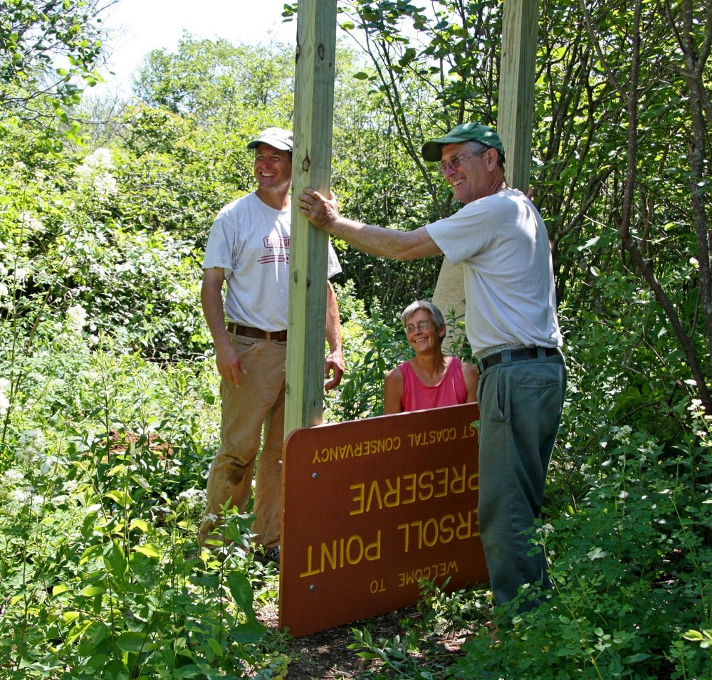
This trail passes through a property that was acquired in part with funds from the Land for Maine’s Future program. For more information about the LMF program and the places it has helped to protect, please visit the LMF webpage.
Visit Downeast Coastal Conservancy online for more information or contact:
Downeast Coastal ConservancyFrom Route 1, turn South onto ME-187/Indian River Road at the Wild Blueberry Land. Continue 2 miles and turn right onto Wescogus Road. Continue about 1.5 miles to the end of Wescogus Road, turn left onto East Side Road. Follow East Side Road about 6 miles and bear right onto Mooseneck Road. Continue on Mooseneck Road to the Union Church, which will be on your left in about 1 mile.
Trailhead and parking are located in the back of the Union Church parking lot. Look for the Ingersoll Point Preserve sign. Please park in the back of the parking lot, near the preserve sign.
Success! A new password has been emailed to you.