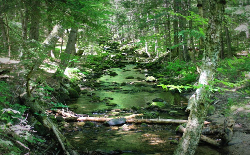
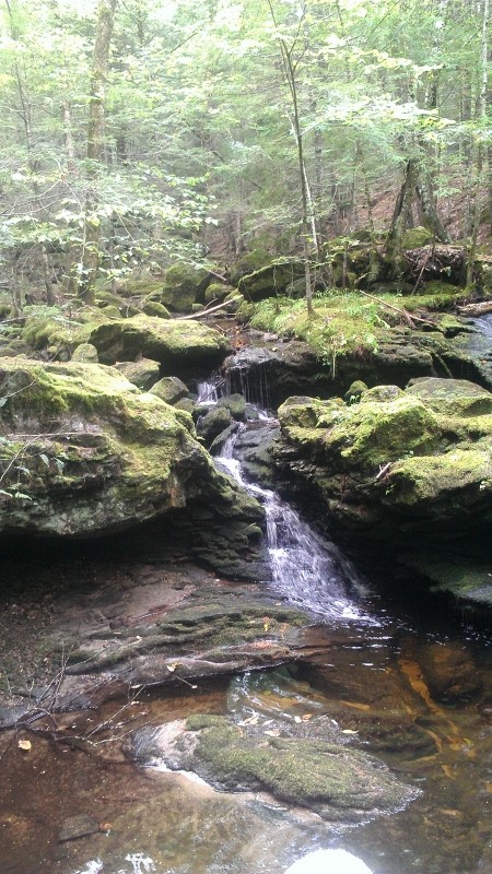
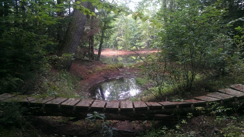
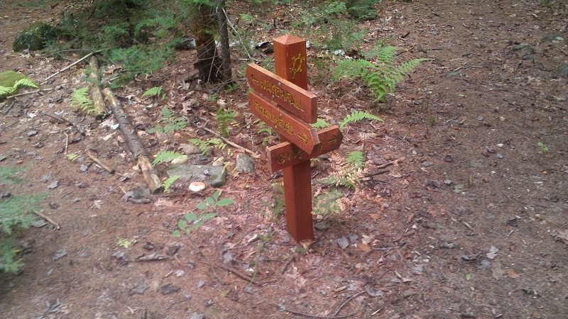
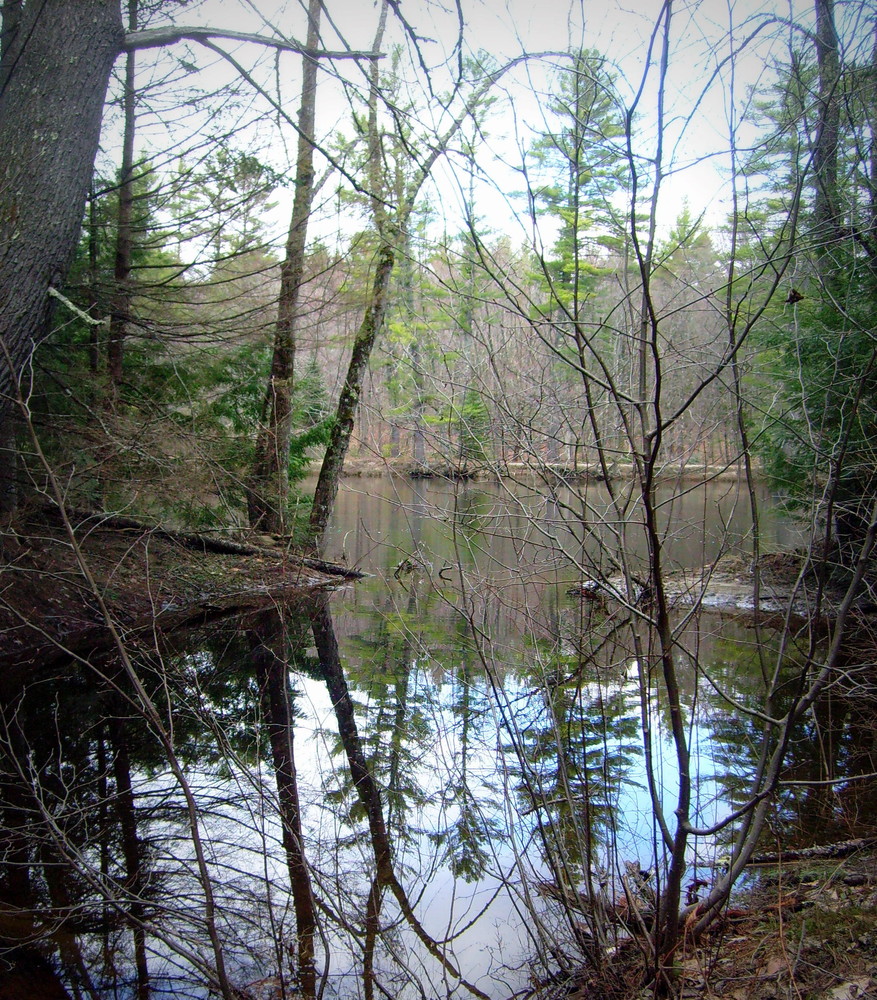
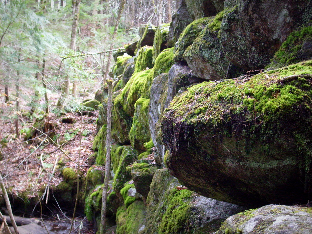
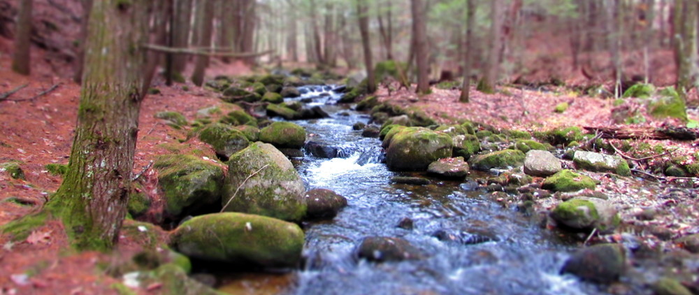
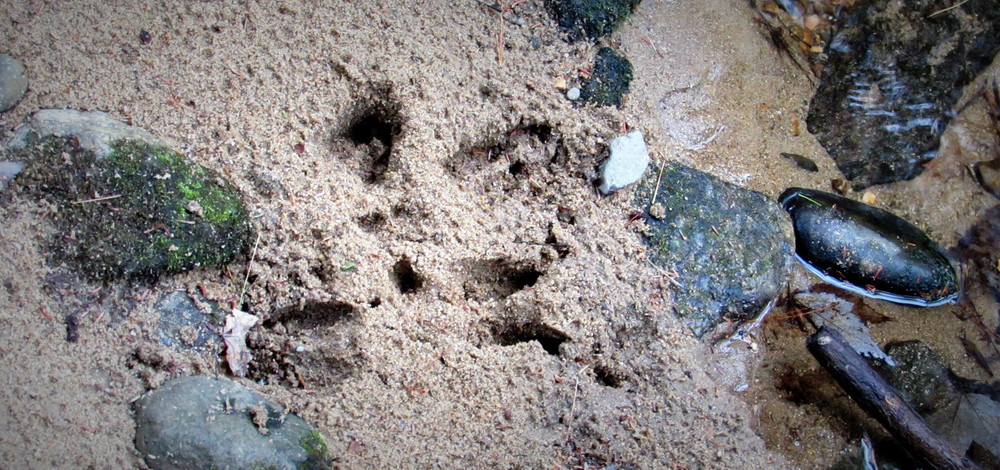
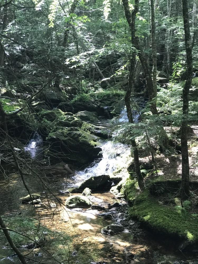
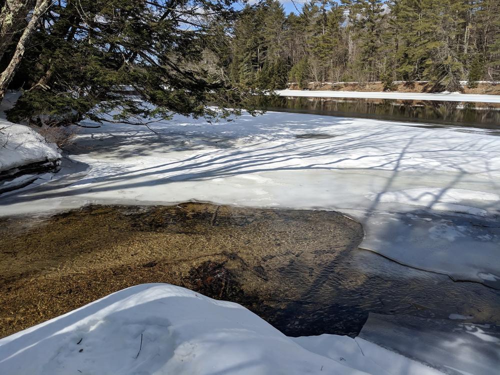
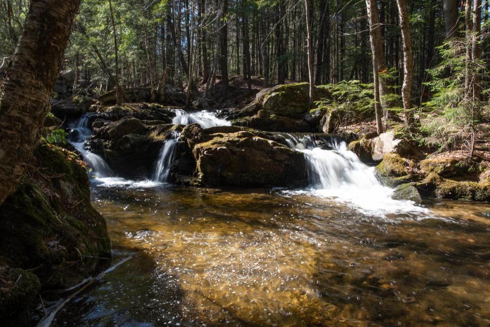
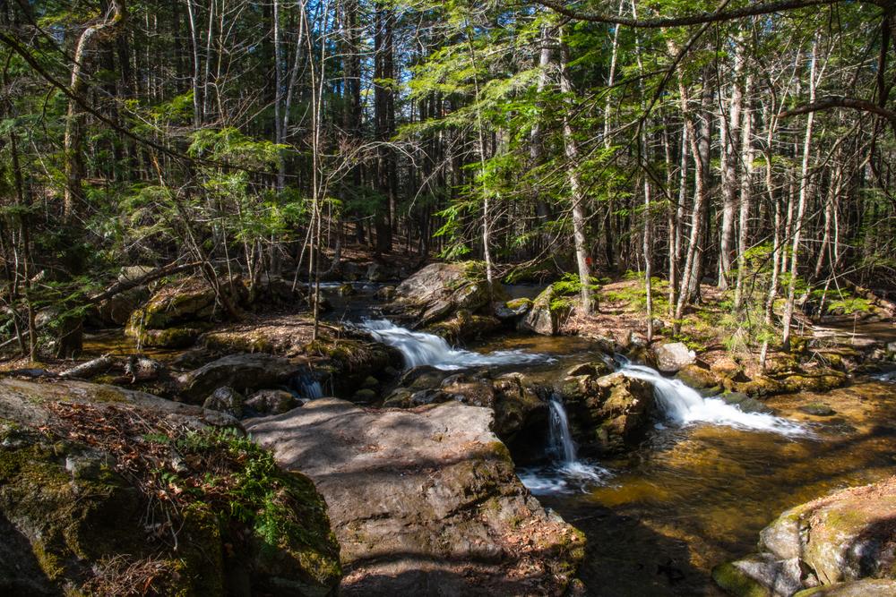
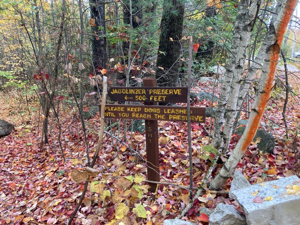
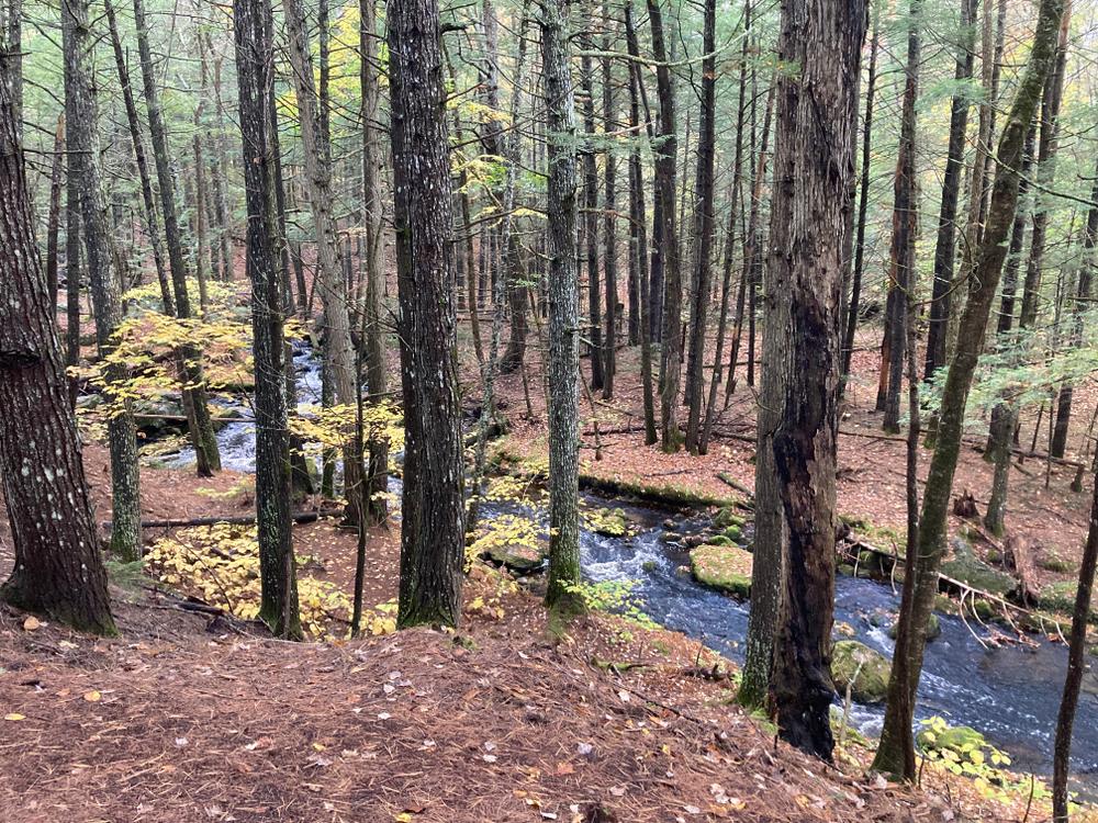
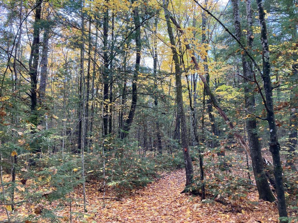
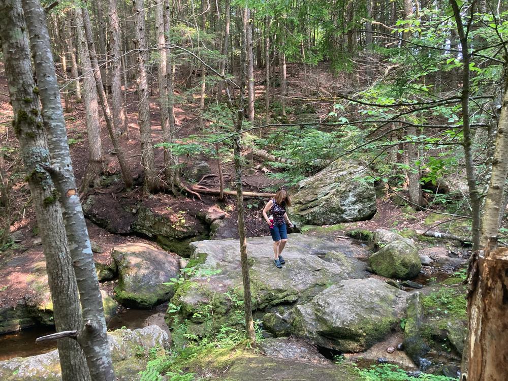
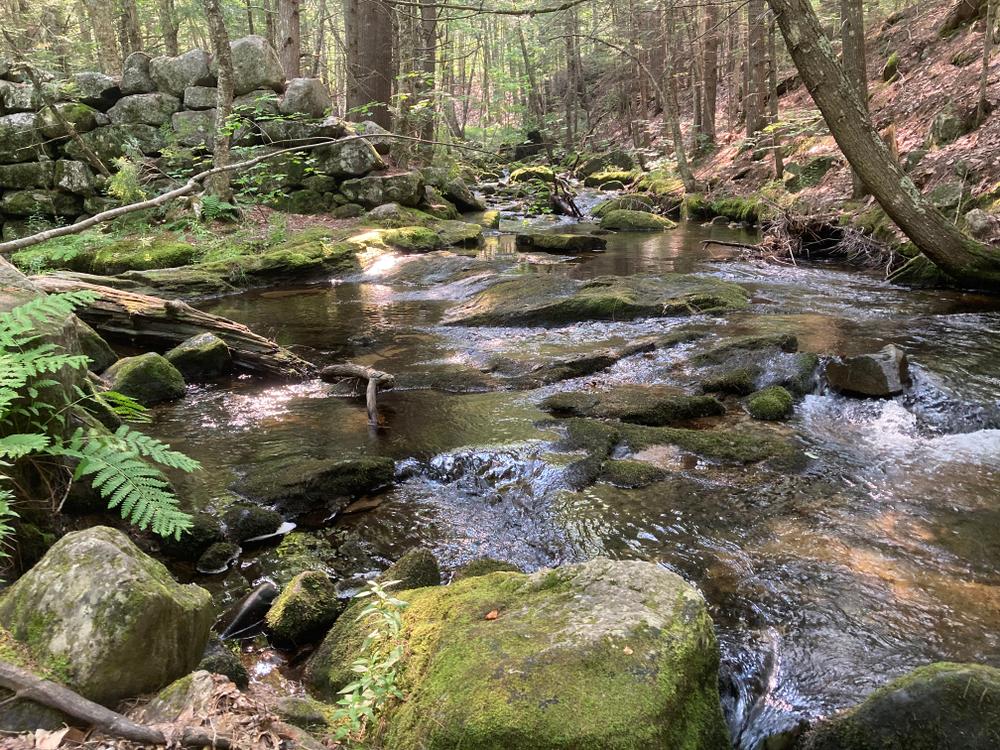
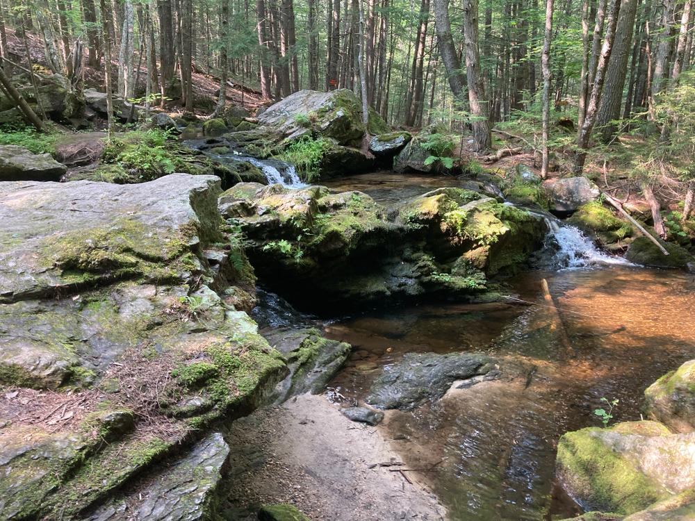
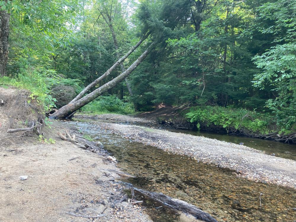
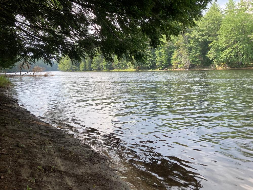
To enter the 20-acre preserve, go 250 feet down the right-of-way on Olives Way (as described under Trailhead), and at the sign, angle to the left and walk an additional 500 feet. A stonewall marks the boundary line of the property. A signpost points to the loop path. Small wooden signs with a turtle logo mark the trail. It takes approximately 45 minutes to walk the loop trail that passes the old dam, Pease Brook, and the Saco River, and then returns through the woods.
The Jagolinzer Preserve is available during daylight hours for hiking, nature study, and other low-impact activities such as cross-country skiing. If you picnic in the preserve, please carry out your trash and leave the flora and fauna as you find it. Motor and wheeled vehicles are not allowed in the preserve at any time (except for mobility access). The Jagolinzer Preserve is surrounded by private property, so please be considerate of the neighbors. Hunting is allowed, so dress appropriately during hunting season. Please keep your pets under control.
Visit the Francis Small Heritage Trust online for more information or contact:
Francis Small Heritage TrustThe Jagolinzer Preserve is located in Limington on the north side of ME Route 25 just east of the Cornish town line and 0.5 mile west of the junction of ME Routes 25 and 117 at Olives Way. A sign at Olives Way marks the start of the right-of-way to the preserve. Visitors to the Preserve can drive down Olives Way and park of on the left just before the sign and path that are 250 feet down Olives Way. That is private land, and Olives Way is access to private homes, so please do not obstruct that road. Please do not park there when the ground is soft in mud season.
Success! A new password has been emailed to you.