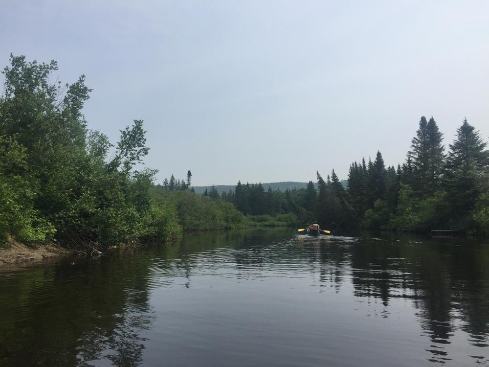
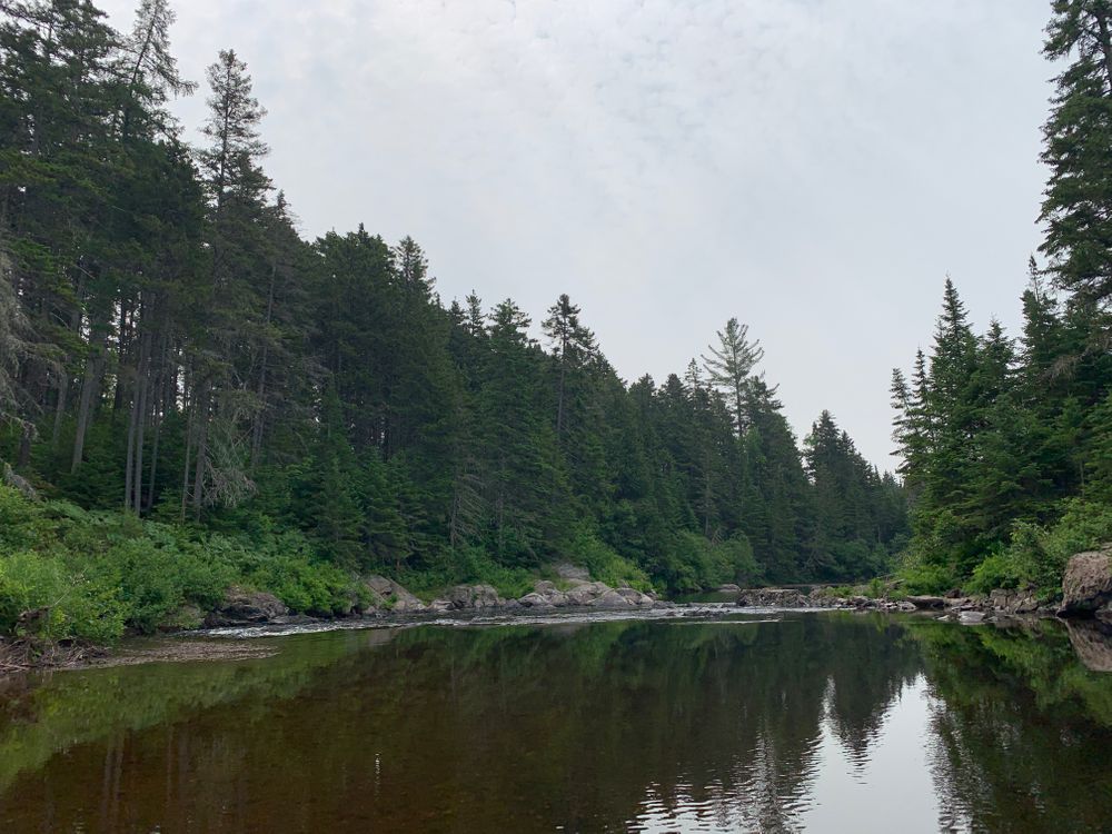
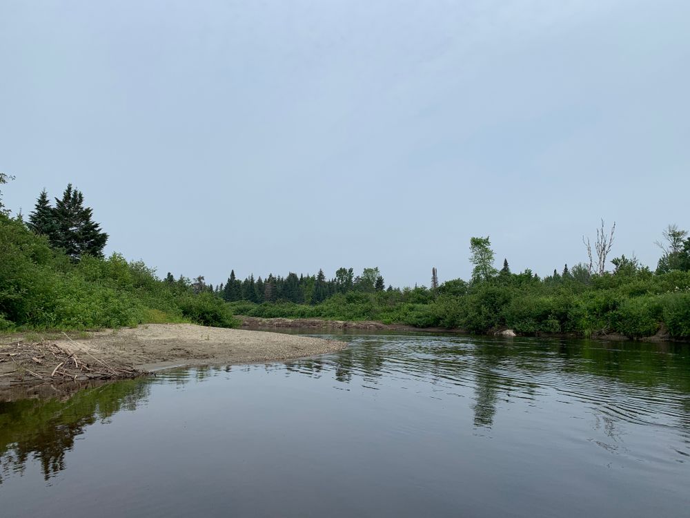
From the put-in, the Kennebago River slowly winds through uninhabited forests. The river is mostly flatwater, except for one short section of quickwater and rocks found about 0.1 miles after the put-in. It is best run by cutting to the far left before going back to the middle of the river to avoid the rocks on the sides. While this section has no big waves or strong current, it requires some quick maneuvering. The rest of the 3.75 mile paddle is in calm water around many meandering bends.The take-out is just beyond the ME-16 bridge on the left side of the river at a sandy beach.
This river is popular with fly fishermen, especially near the put-in, at Steep Bank Pool. Watch for wildlife in the many marshy areas along the river's banks. There are excellent birding opportunities for boreal chickadee, Blackburnian Warbler, Black-backed woodpecker in particular.
Access to this paddle is provided by a 3,000 acre easement held by Rangeley Lakes Heritage Trust, in partnership with the Stephen Phillips Memorial Trust, surrounding both sides of the river with conservation land for nearly the entire route.
Private Property: Much of the land and many roads around the Kennebago River and Lake are privately owned. Respect the gates placed along the roads and do not trespass.
Invasives: Boats and recreational gear should be checked before put-in and after take-out for plants and aquatic invaders.
Shallow Water: It is only possible to go a few hundred yards farther upstream than the Steep Bank access point, as the water becomes too shallow for most boats.
A downloadable map of the route is available at the Northern Forest Canoe Trail website (free for members!).
For more information, contact:
Rangeley Lakes Heritage TrustPut-in: Steep Bank Access. Head north off of ME-16 onto Boy Scout Road 1.4 miles west of Oquossoc. Follow the dirt road for approximately 2 miles. There will be a sign on the left for a boat launch. There are a number of steep steps down to the river and an outhouse slightly farther down the road. Park along the road and be sure not to block traffic.
Take-out: ME-16 Bridge. 1.5 miles west of Oquossoc on ME-16, there is a bridge that crosses over the Kennebago River. Park on the south side of the road in a gravel pull-off. There is a dirt path that leads down to a sandy beach.Parking is along the road, please use caution and be sure not to block traffic.
Success! A new password has been emailed to you.