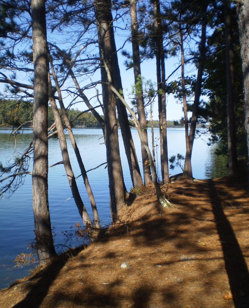
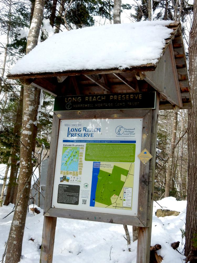
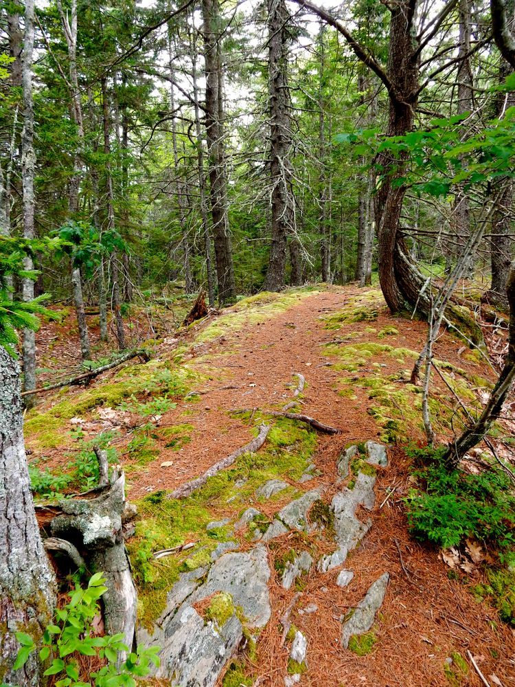
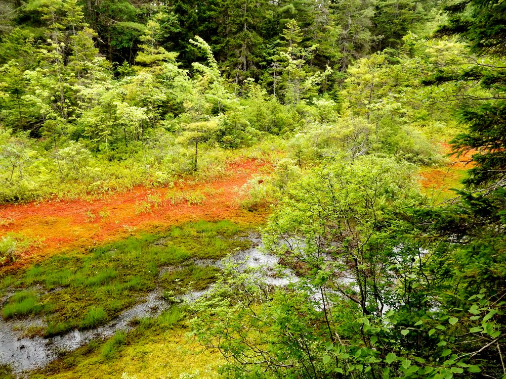
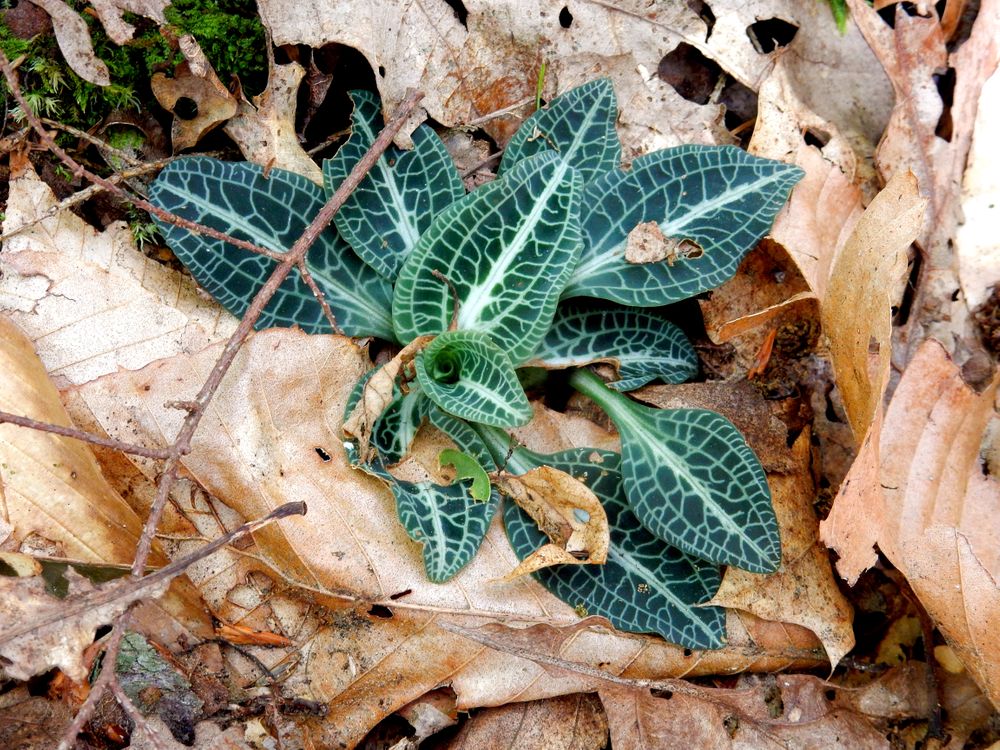
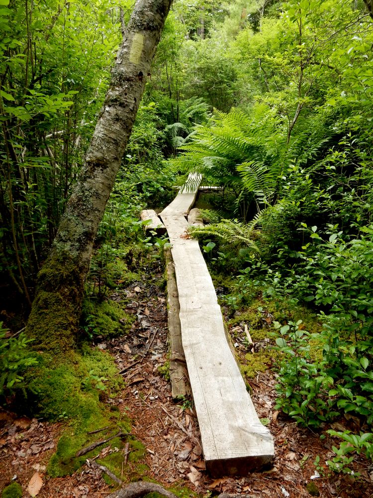
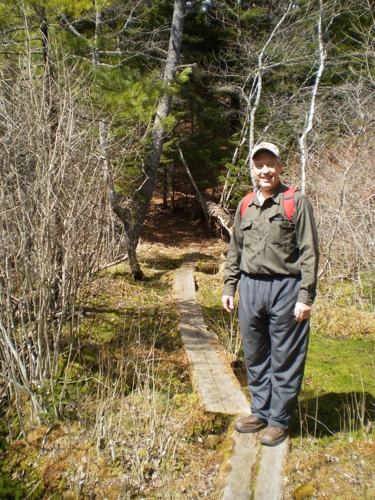
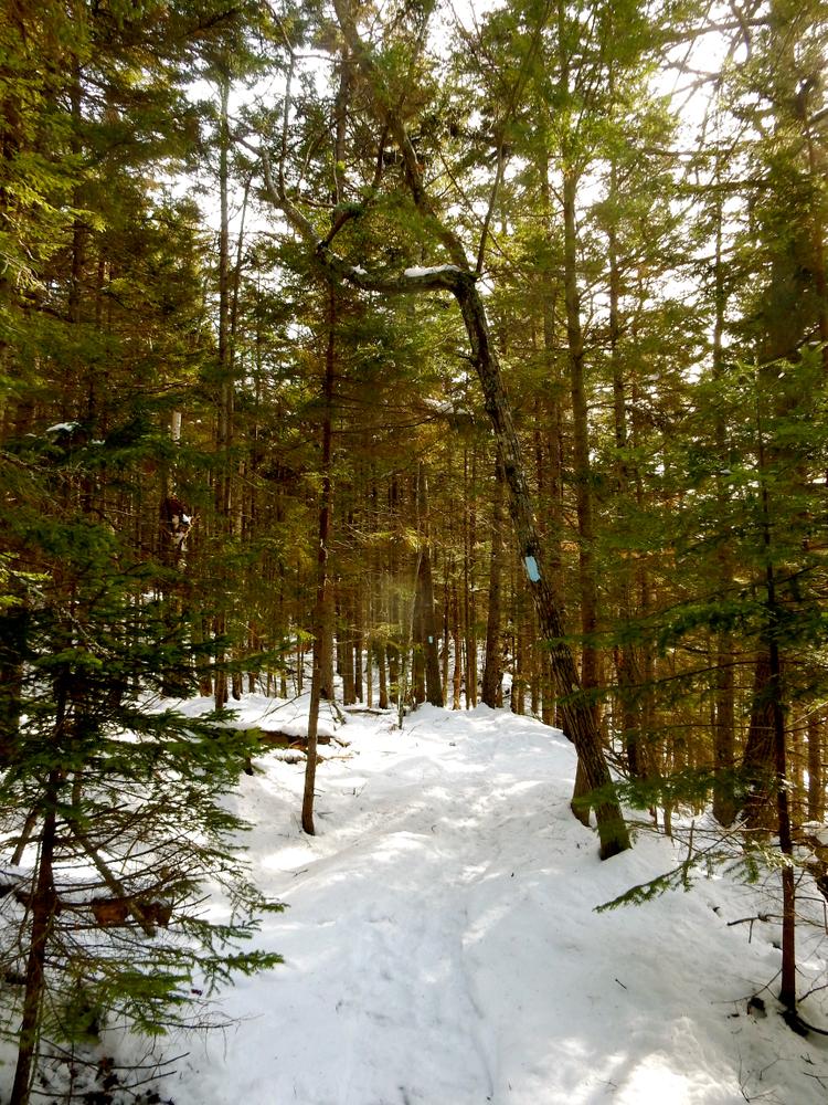
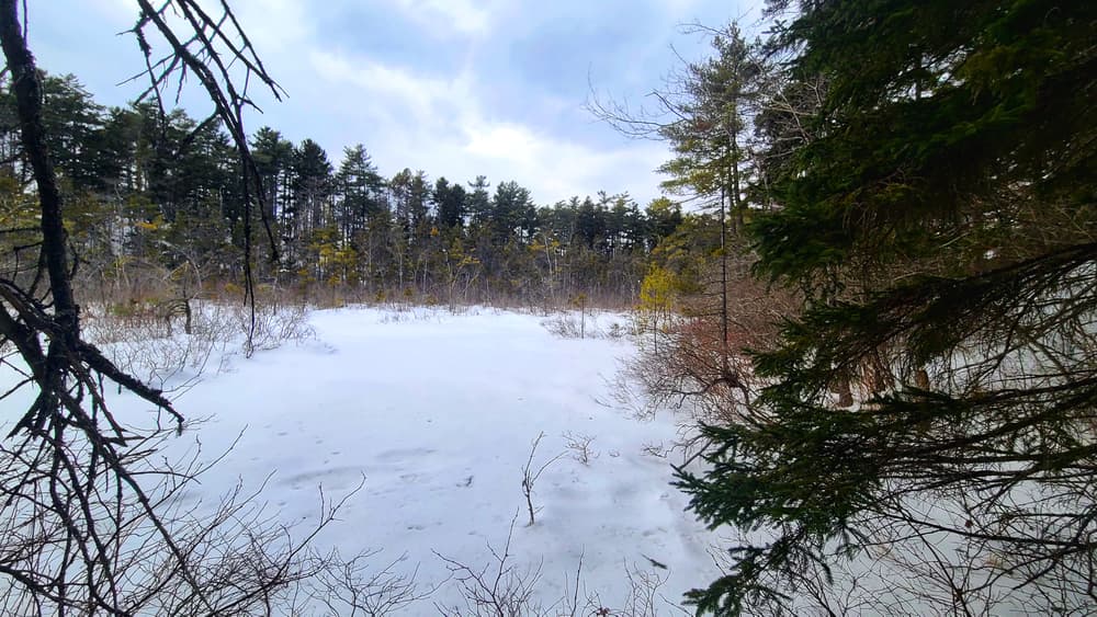
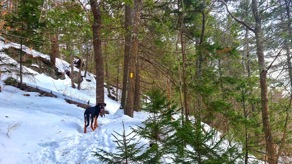
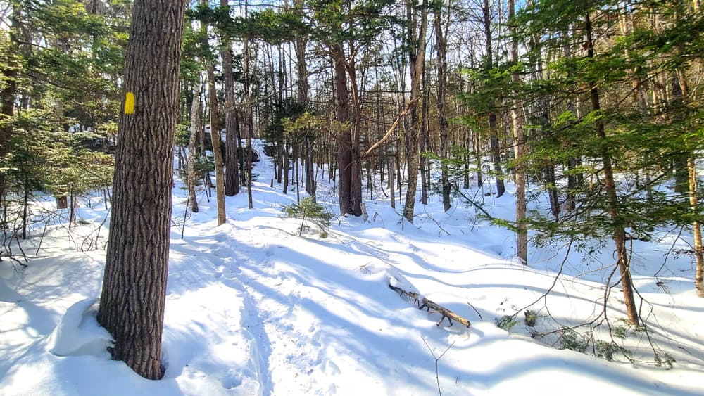
This spectacular 95-acre preserve provides one of the longest hiking trails in Harpswell. A challenging 1.5-mile loop trail winds through several different forest types, passes a peat bog nestled between two prominent bedrock ridges and finally descends to the shores of Long Reach. The preserve is owned and maintained by Harpswell Heritage Land Trust.
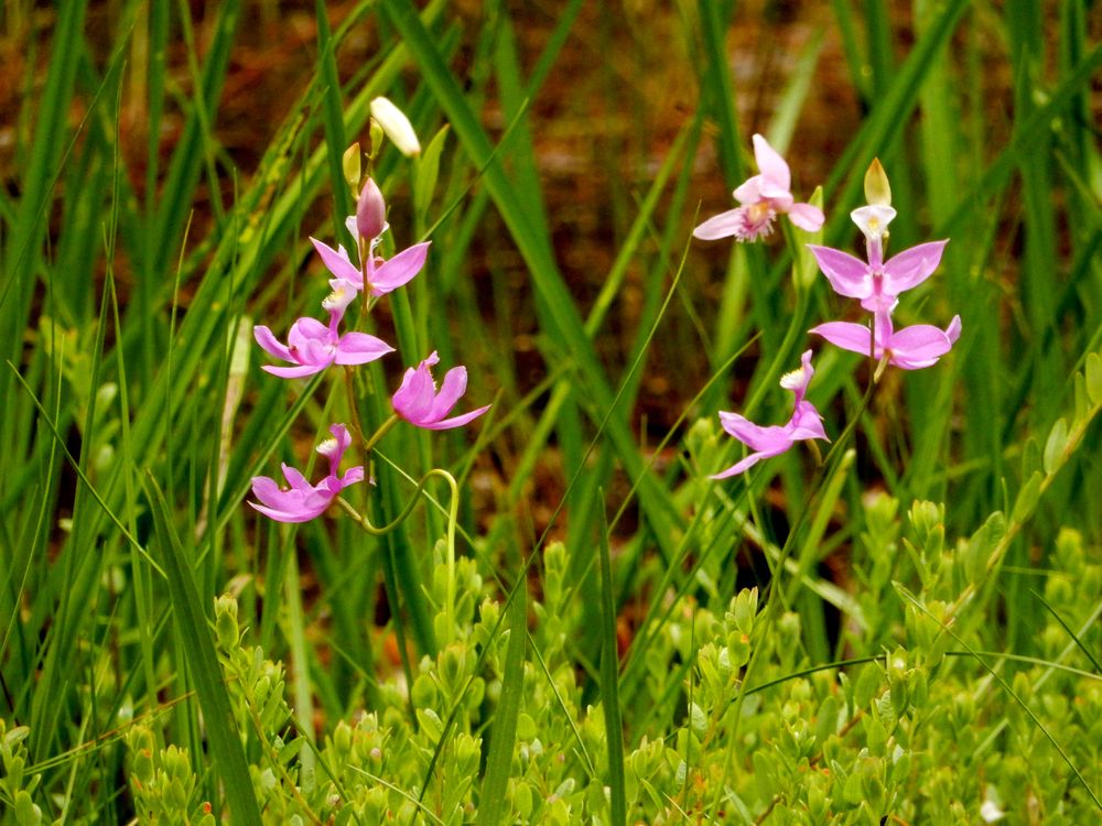
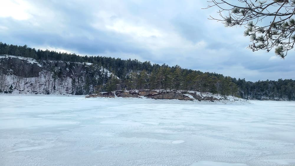
This area is a prime example of Harpswell’s folded bedrock geology. Long steep ridges run parallel to the shore and trap water to form peaty wetlands. Long Reach itself is a submerged valley, and at low water, tidal mudflats. From the shore, visitors can look across to dramatic cliffs of weathered bedrock, at the top of which is the town-owned Cliff Trail.
Long Reach Preserve is part of a block of more than 500 acres of uninterrupted conserved land, which provides permanent habitat for wildlife and public access to the woods and waters of Harpswell.
VISITOR GUIDELINES

This trail passes through a property that was acquired in part with funds from the Land for Maine’s Future program. For more information about the LMF program and the places it has helped to protect, please visit the LMF webpage.
Visit Harpswell Heritage Land Trust online for more information or contact:
Harpswell Heritage Land TrustLong Reach Preserve is located at 648 Harpswell Islands Road (ME-24) about 3 miles south of the Brunswick-Harpswell town line. The preserve shares a parking area with the adjacent Trufant-Summerton Ball Field on Sebascodegan (Great) Island. The trailhead is to the right as you drive into the ball field. Follow the signs and blazes.
Success! A new password has been emailed to you.