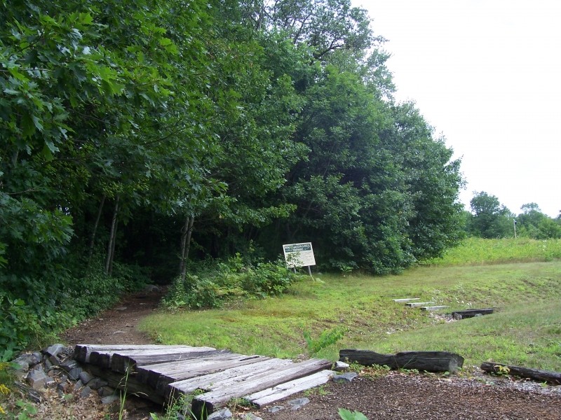
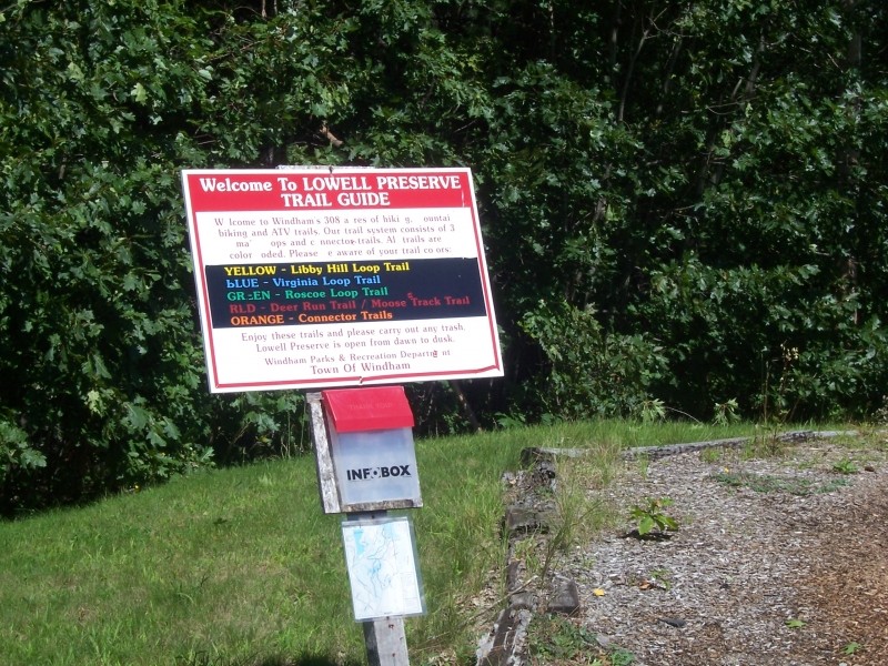
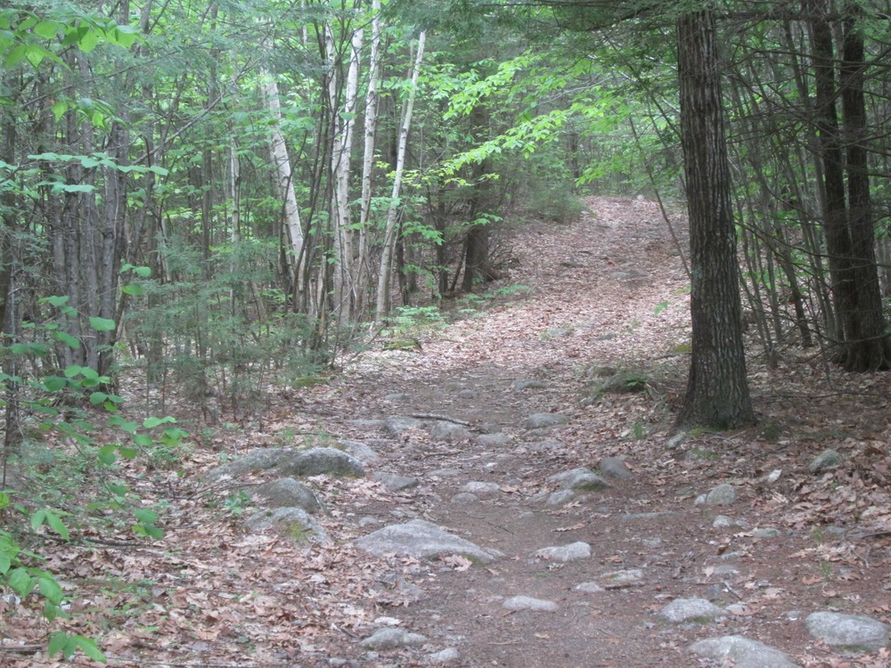
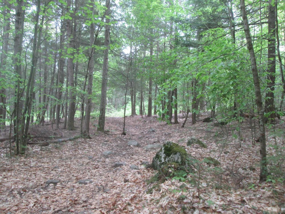
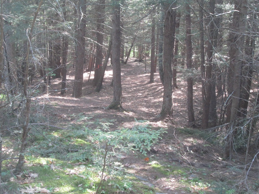
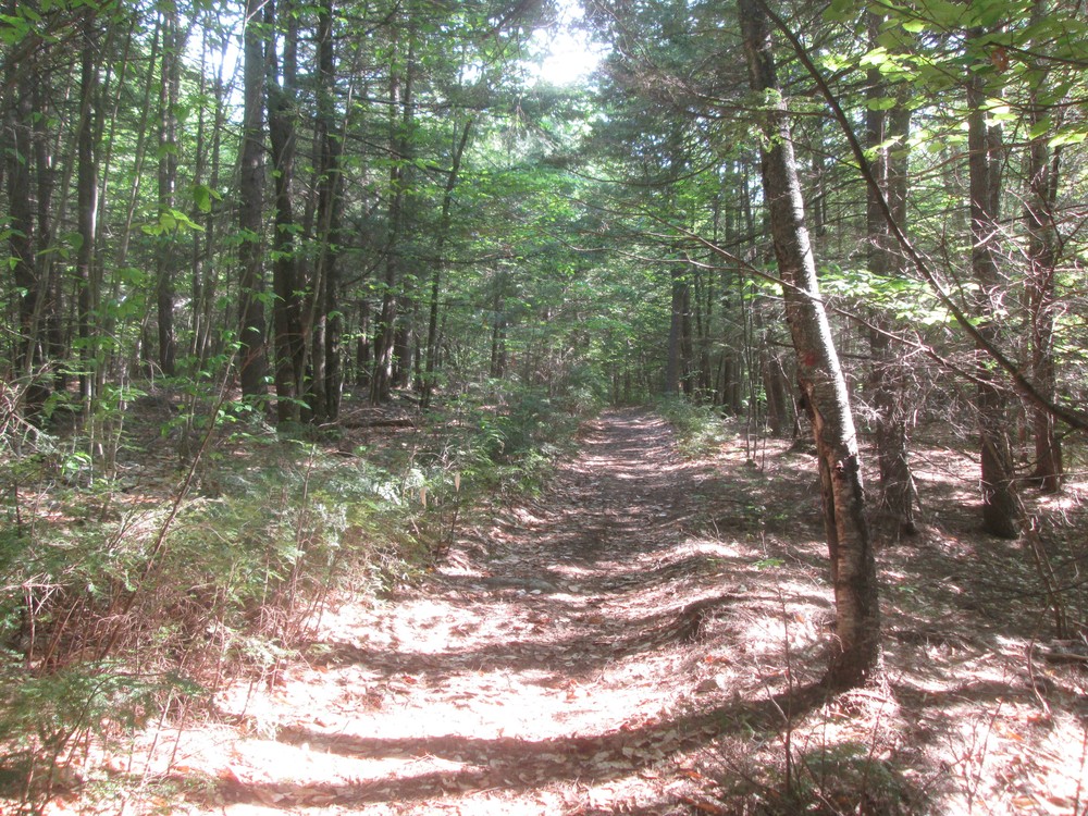
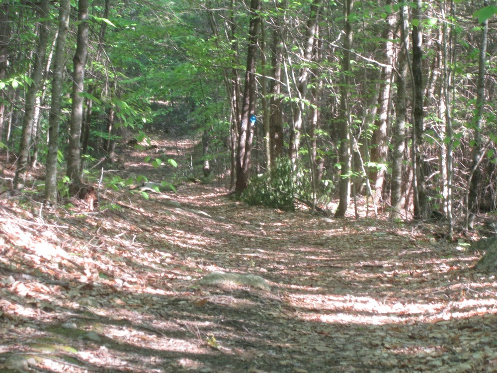
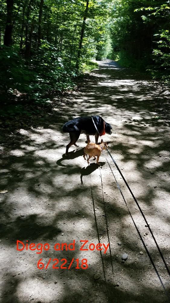
This wooded trail system consists of many of loops offering an infinate number of distances. The trails are a mixture of packed earth and rocky surfaces that have various elevation inclines throughout the area, and are used by hikers, mountain bikers, snowshoers, cross-country skiers, horseback riders, and snowmobilers.
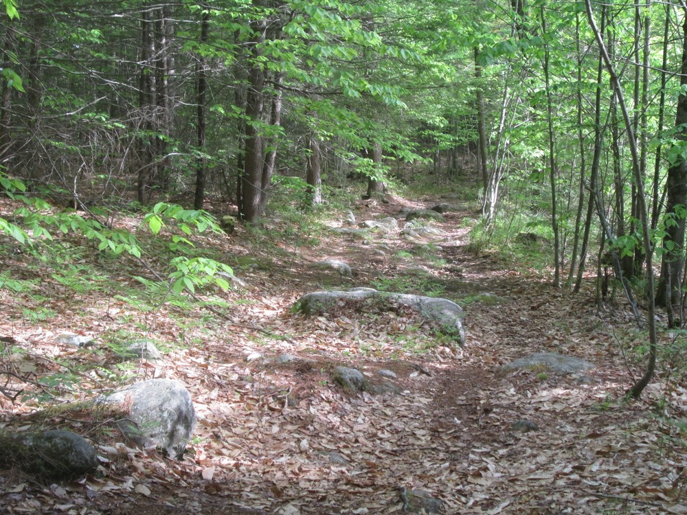
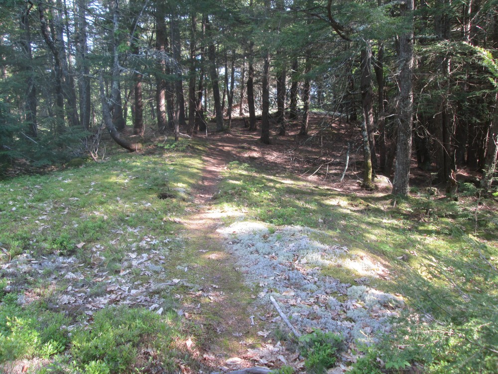
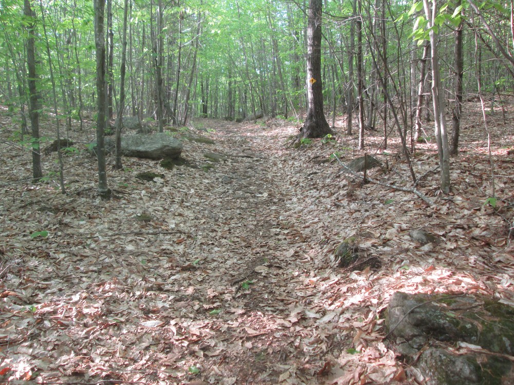
The main trails consist of two loops, marked by blue and red blazes. Each loop is about 1.5 miles, and has wide, easy to traverse surfaces. ATVs are allowed on portions of these trails.
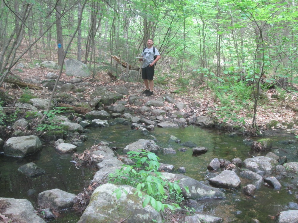
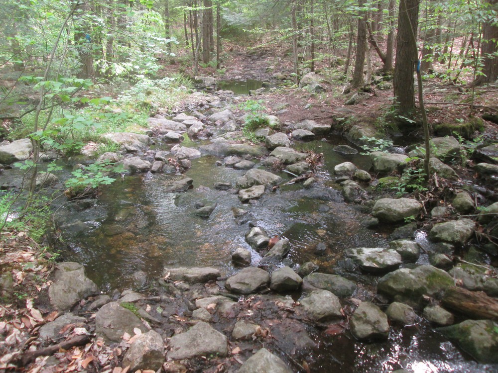
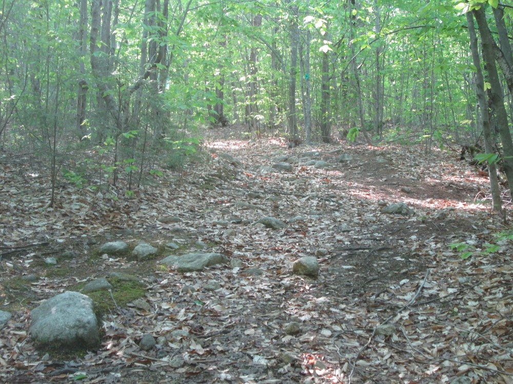
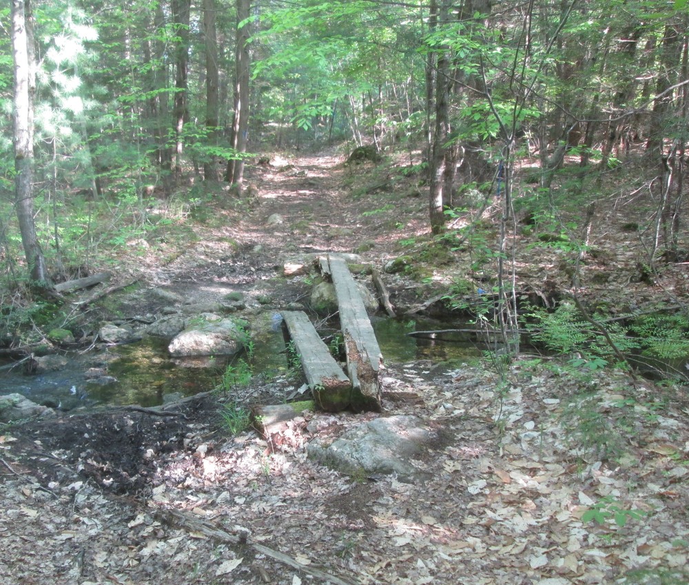
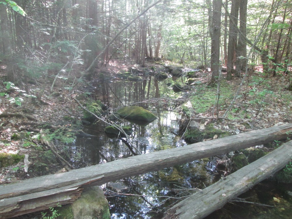
There are also two networks of “Technical Trail” in the northern part of the Preserve. These trails are more narrow and cover steeper, more difficult terrain. They are ideal for mountain biking and trail running, and are great for longer hikes as well.
View a map showing the trail names and blaze colors...
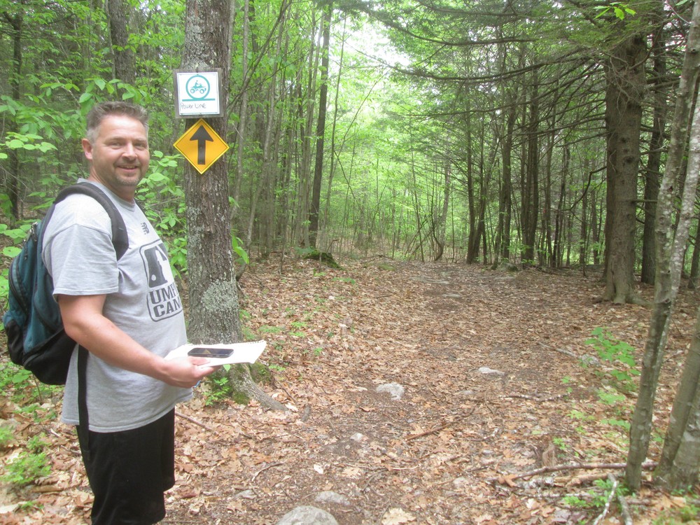
Allowed uses within the trail network include hiking, mountain biking, horseback riding, ATVing, cross-country skiing, snowshoeing, and snowmobiling. Trails and trail sections are marked to show allowed uses. Please respect the signs.
Visit Windham Parks and Recreation online for more information and a printable map or contact:
Town of WindhamFrom the north via US -202/ME-4, take Falmouth Road south. Falmouth Road is at the blinking traffic light 1.7 miles north of the traffic circle for US-202/302 and ME-4 in Windham. Continue south on Falmouth Road for 2.9 miles to the East Fire Station on the left hand side of the road. Parking for the start of trails is at the East Fire Station. Please park by the playground area and not in front of the Fire Station bays.
From the South via US-302, take Albion Road north. Albion Road is 2 miles south of the traffic circle for US-202/302 and ME-4 in Windham. Follow Albion Road 1.5 miles until it ends on Falmouth Road. Take a right on Falmouth Road. The parking and trailhead at East Fire Station is in 0.5 miles on the left. Please park by the playground area and not in front of the fire station bays.
Success! A new password has been emailed to you.