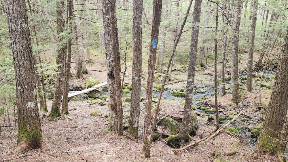
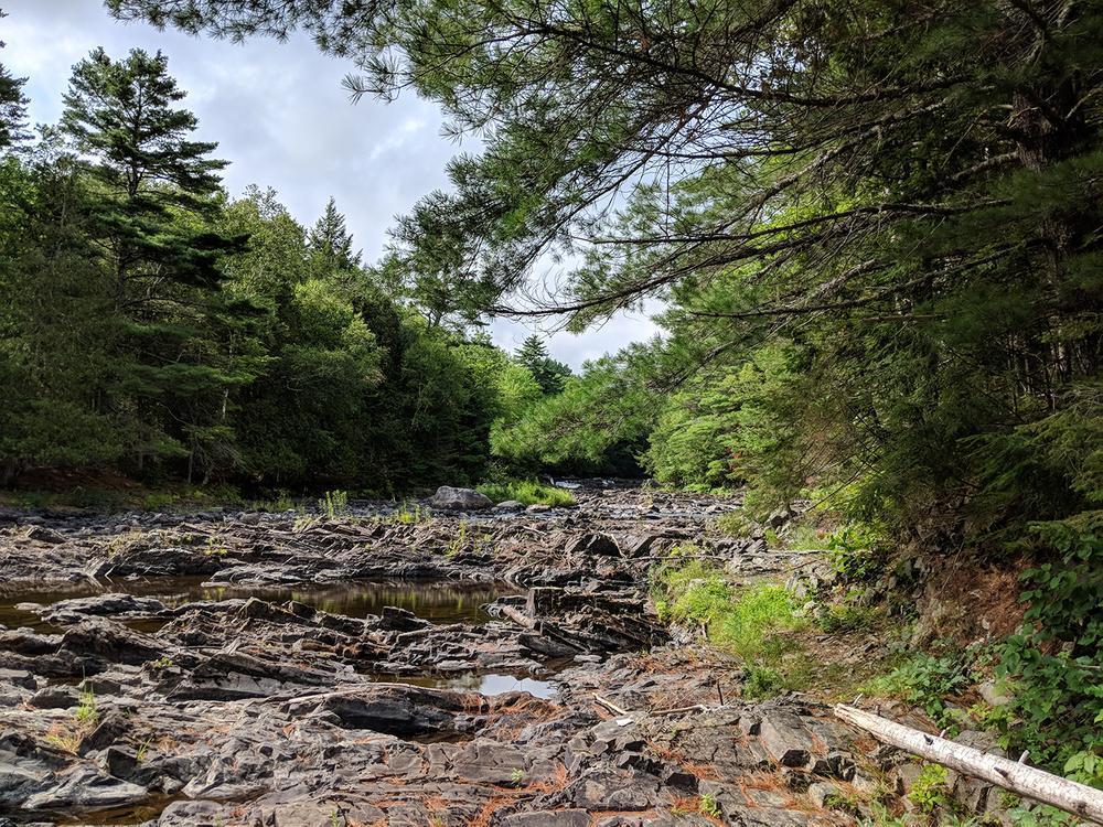
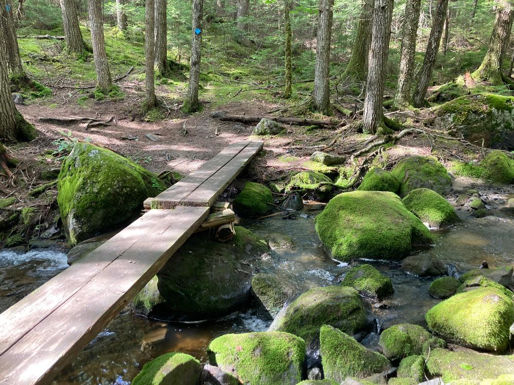
Mariaville Falls is a 123-acre preserve on the east shore of the West Branch of the Union River. From the parking lot, the trail travels though the woods and over a small brook. At the bottom of a hill, the trail intersects with another trail that follows along the shore of the Union River. Mariaville Falls is about 0.3 miles to the right of this intersection. The trail extends a little further past the falls and ends at a bend in the river. To the left of the intersection, the trail follows the floodplain of the river and along the side of a steep slope and comes out at a gravel pit. Hikers can follow the access road back to the parking lot.
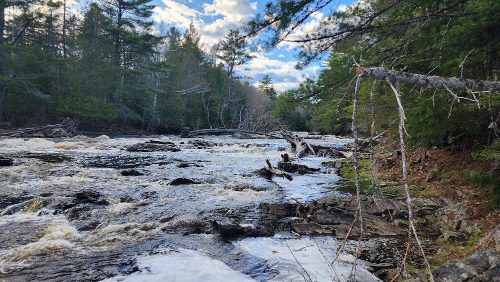
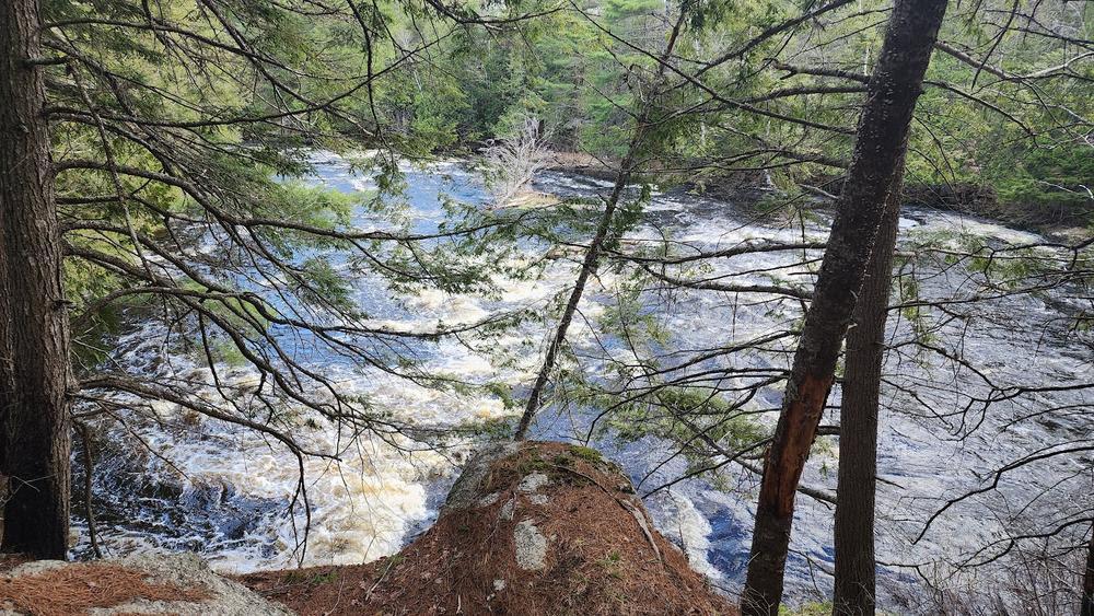
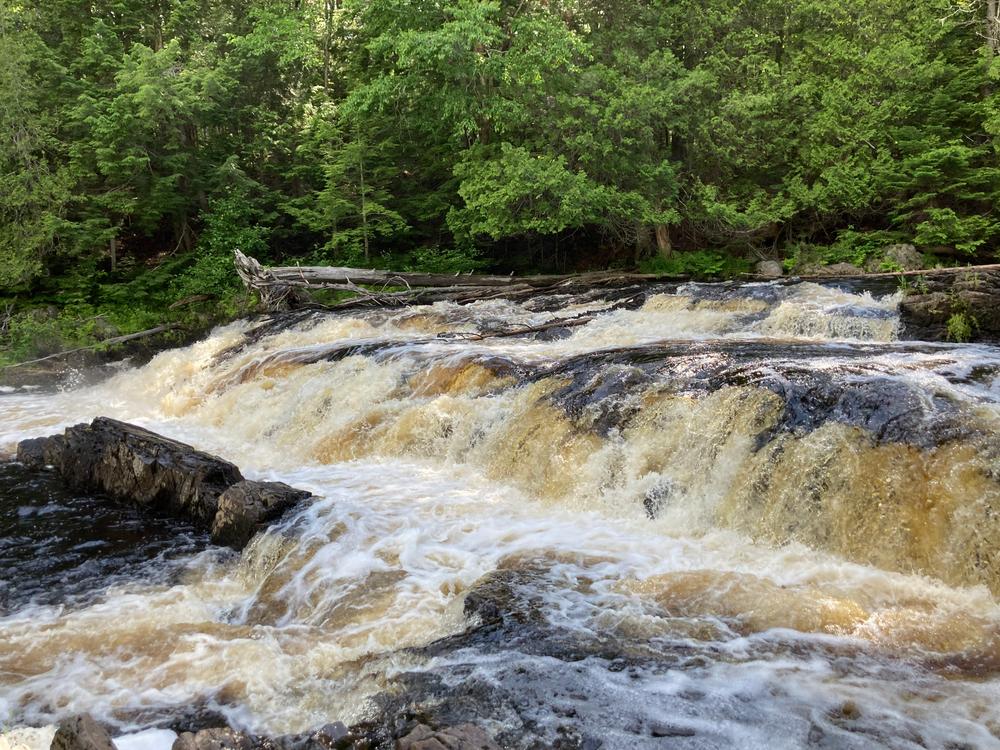
Mariaville Falls is a dramatic stair falls that can be seen from an overlook along the path. The river is clean and wild as far as you can see. In the early 1800’s, William Bingham of Philadelphia established a thriving village at Mariaville Falls. There is no longer any trace of the dam, the two timber mills, the tannery or the boardinghouse and homes that once comprised a village of fifty families.
Visit Frenchman Bay Conservancy's website for more information and a printable map.
Frenchman Bay ConservancyFrom US-1A/Bangor Road in Ellsworth: go north and turn right onto Mariaville Road at Ellsworth Business Park at Boggy Brook. Keep bearing right on ME-180/Mariaville Road for 8.3 miles until you reach the junction of ME-181 (just past the Beech Hill School) on the right. Take ME-181 and go for 9.7 miles to the wooden Frenchman's Bay Conservancy preserve sign on the left. The access road to the trail begins at the sign. A parking area is located at the trailhead/kiosk.
Success! A new password has been emailed to you.