Marr's Ridge Trail

This is the print view for this trail. View the full trail posting.

A short trail up a hill to a field provides views over the Sheepscot River valley as far east as Ragged Mountain and the Camden Hills, and a loop trail continues through the woods.
Trail Activity
Hiking Walking Snowshoeing Cross-country-skiing
Length
3.60 miles, Round Trip
Difficulty
Moderate
Town
Whitefield
Surface
Dirt/Forest Floor
Pets
Permitted
Fees
No

Description

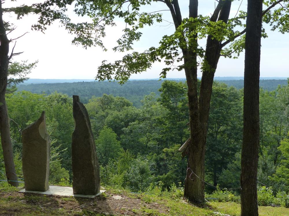
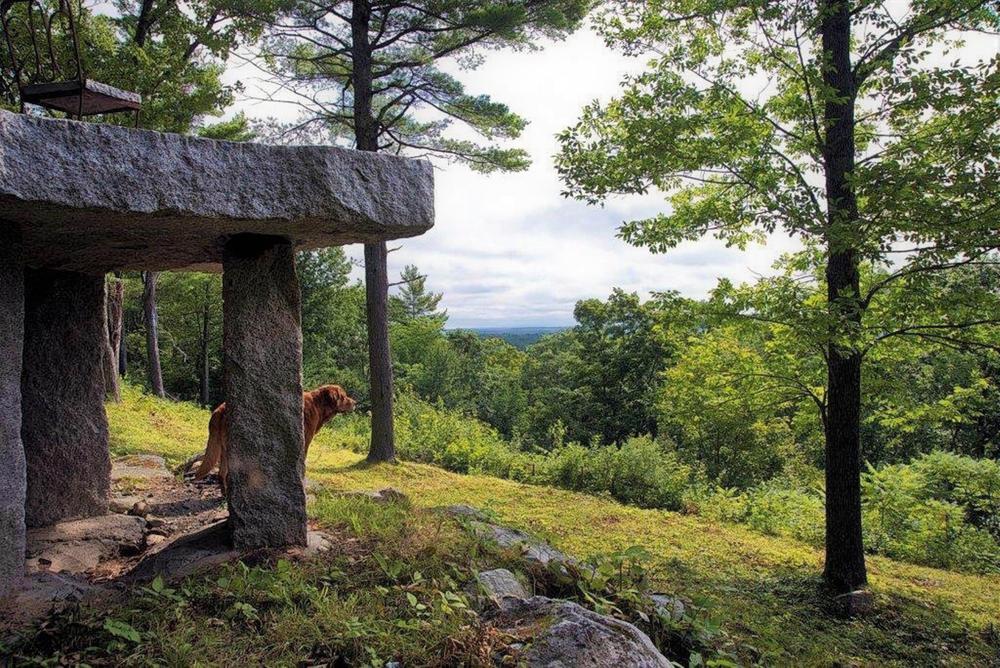
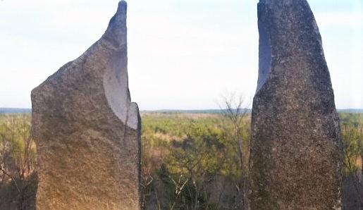
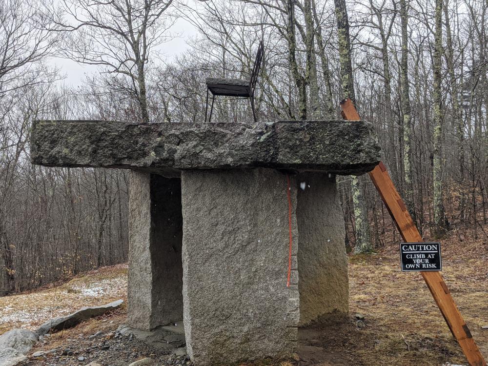
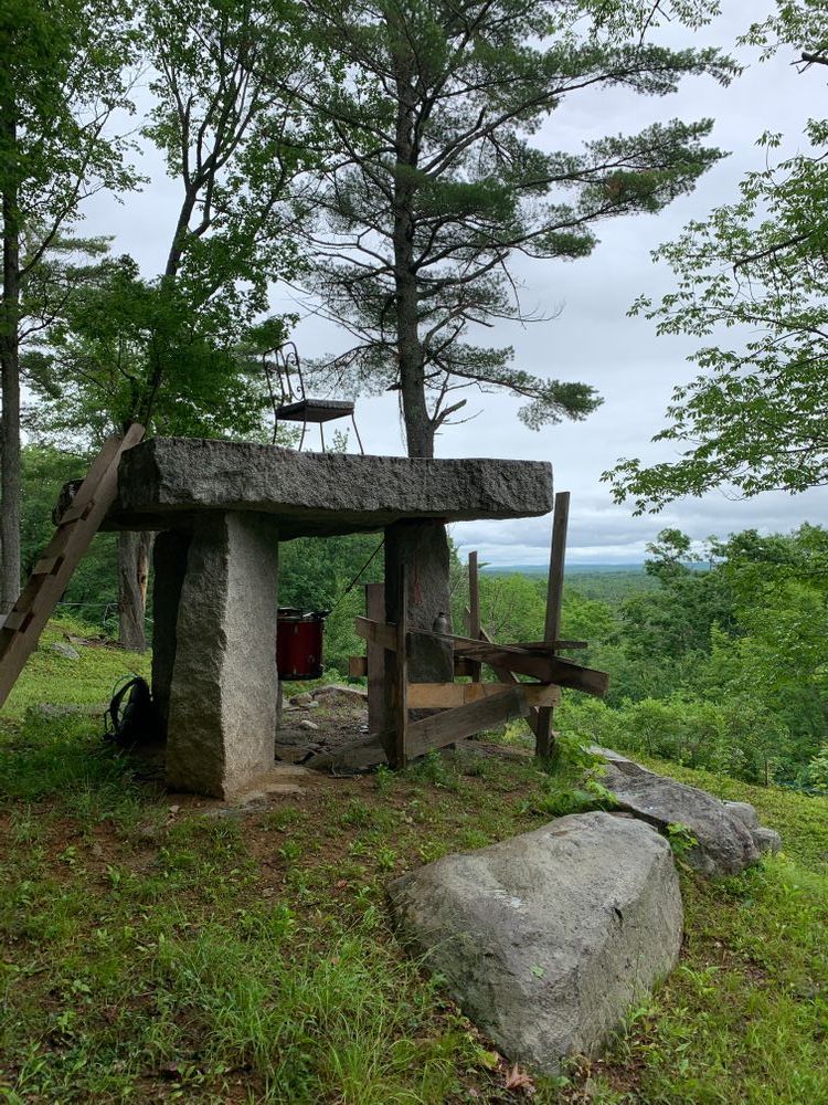
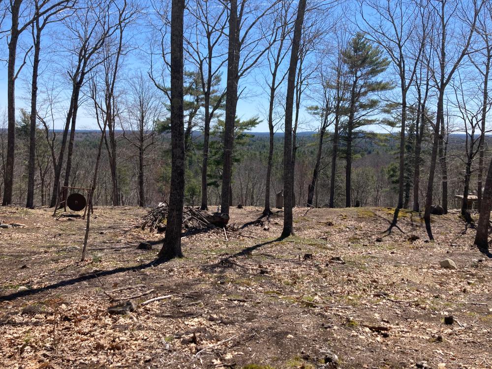
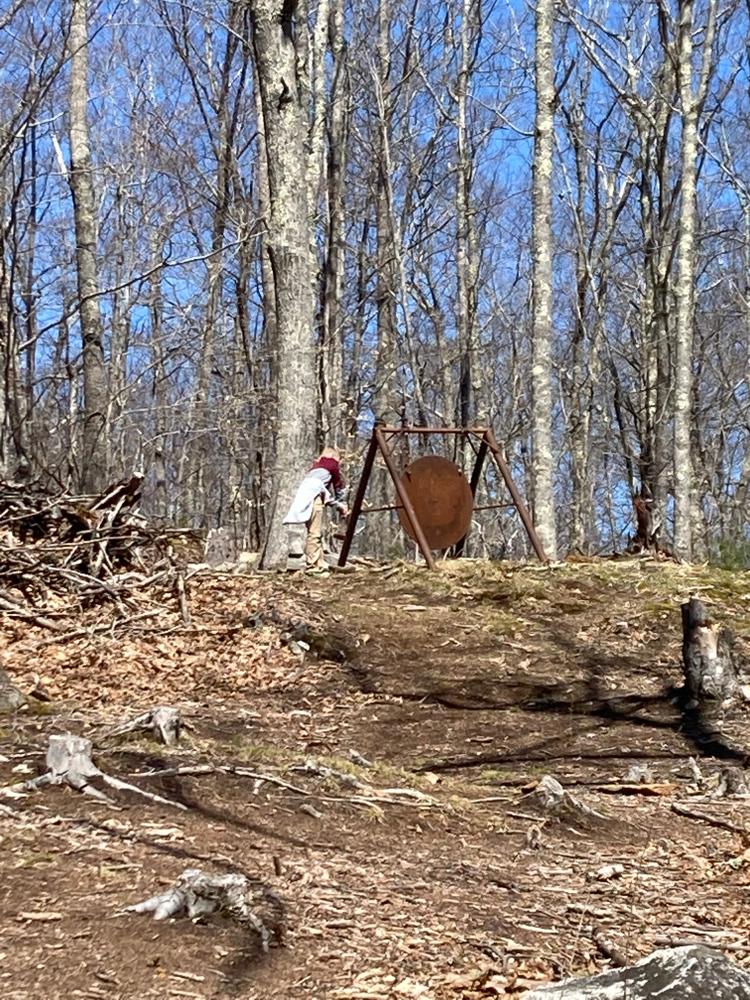
The trail begins with a climb up to an overlook offering views over the Sheepscot River valley, all the way to Ragged Mountain and the Camden hills, including Mt. Battie, to the east. There is also a granite tower here that the landowners have erected as a sundial. It is just under a mile to this viewpoint from the trailhead. The trail then continues into the forest 0.2 miles to a wooded 1.2 mile loop. The blazed trail oftentimes follows along old woods roads.

Other Information

This trail is on private property, on which Midcoast Conservancy holds a conservation easement. The landowner has generously opened the trail for public use. Please stay on trails and respect the landowner’s privacy.

Trail Manager

For more information, visit the Midcoast Conservancy website, or contact:

Whitefield Trails Committee
Town of Whitefield
36 Townhouse Road
Whitefield, Maine 04353
Phone: (207) 549-5175
d.elliott.92546@gmail.com
View website
Midcoast Conservancy
290 US Route One
PO Box 439
Edgecomb, ME 04556
Phone: (207) 389-5150
View website

Nearby Events

VIEW EVENTS CALENDAR

Trail Tips

Minimize Campfire Impacts
Keep campfires small and contained to established fire rings in permitted sites only.

Trailhead Information

From the West
From the Gardiner bridge over the Kennebec River, follow ME-126 east for 6 miles to the intersection with Hunt’s Meadow Road. Turn left and continue 1.5 miles on Hunt’s Meadow Road to the trailhead and parking lot on the left.

From the East
Follow ME-126 west from Damariscotta Lake for 7.3 miles to the Cooper Road, which bears right opposite St. Denis Church. Head north on the Cooper Road for 1.8 miles and turn left onto Hunt’s Meadow Road. Go 0.7 miles to the trailhead and parking lot on the right.

Legend
Hide All
Join In on the Fun!
Log in or create an account below to unlock all the great features of Maine trail finder: keep track of trails you want to do, preserve memories of trails you’ve done, earn badges, and more!
Your log in attempt was not successful. Please try again.
    Lost your password? Reset your password
    Don't yet have an account?
    There was an issue with your submission. Please try again.
      * Indicates required field
      Already have an account? Login here
      Enter your username, and we will send you a new, randomly generated password to your email account.
      There was an issue with your submission. Please try again.

        Success! A new password has been emailed to you.

        Log in now

        Please wait…