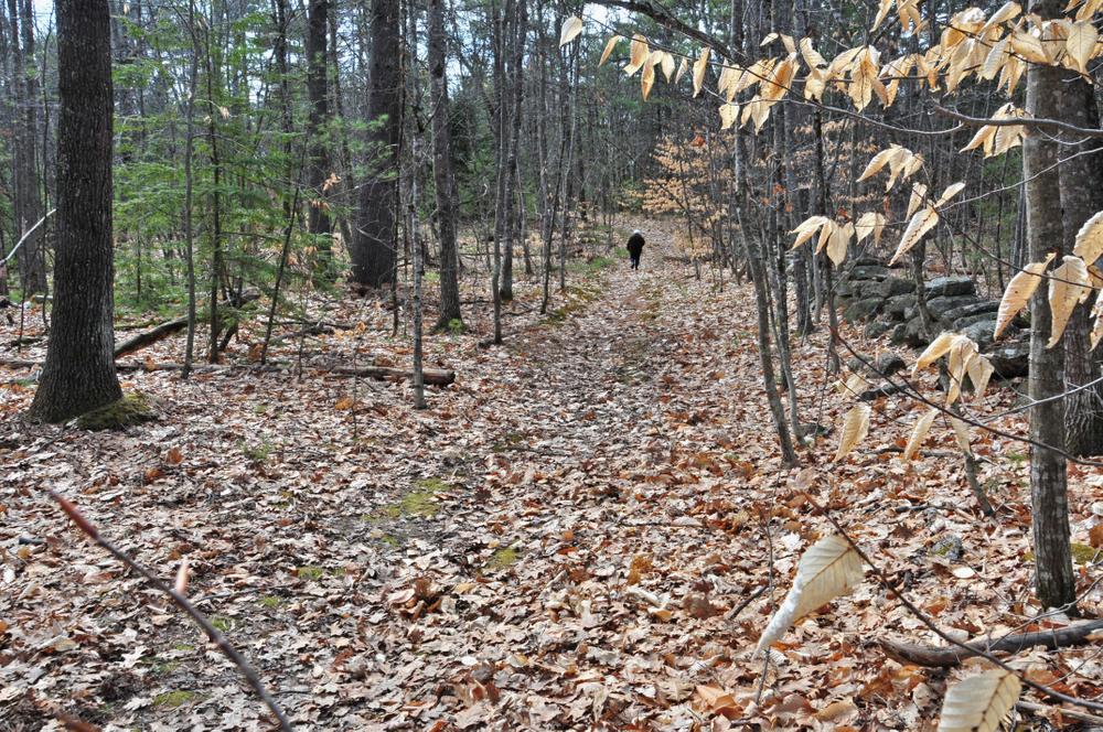
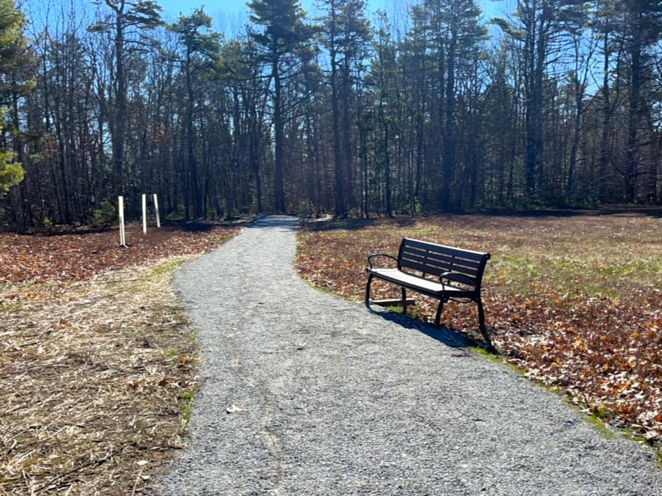
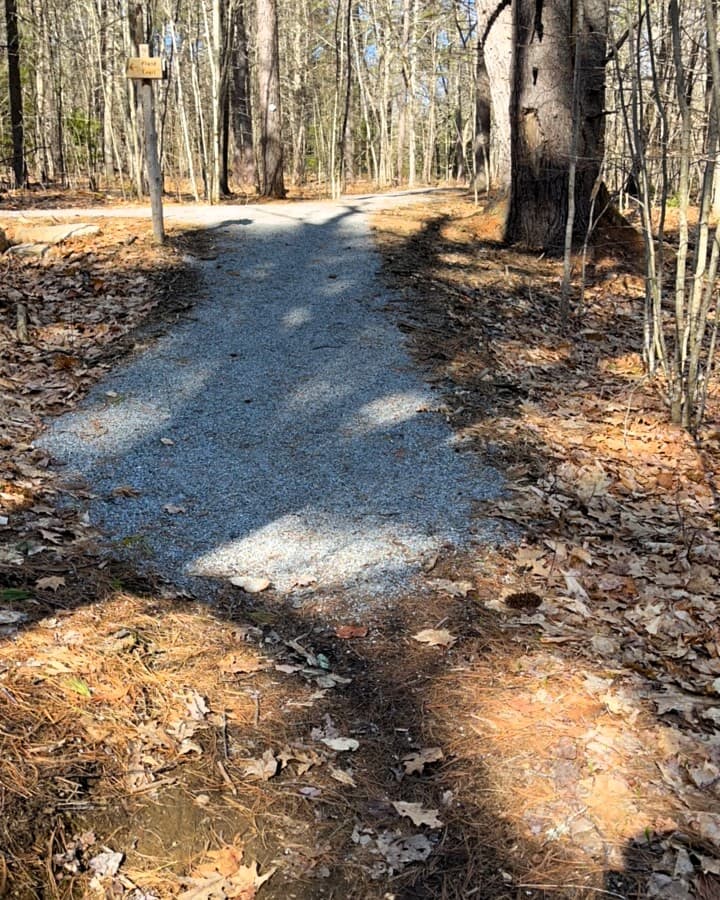
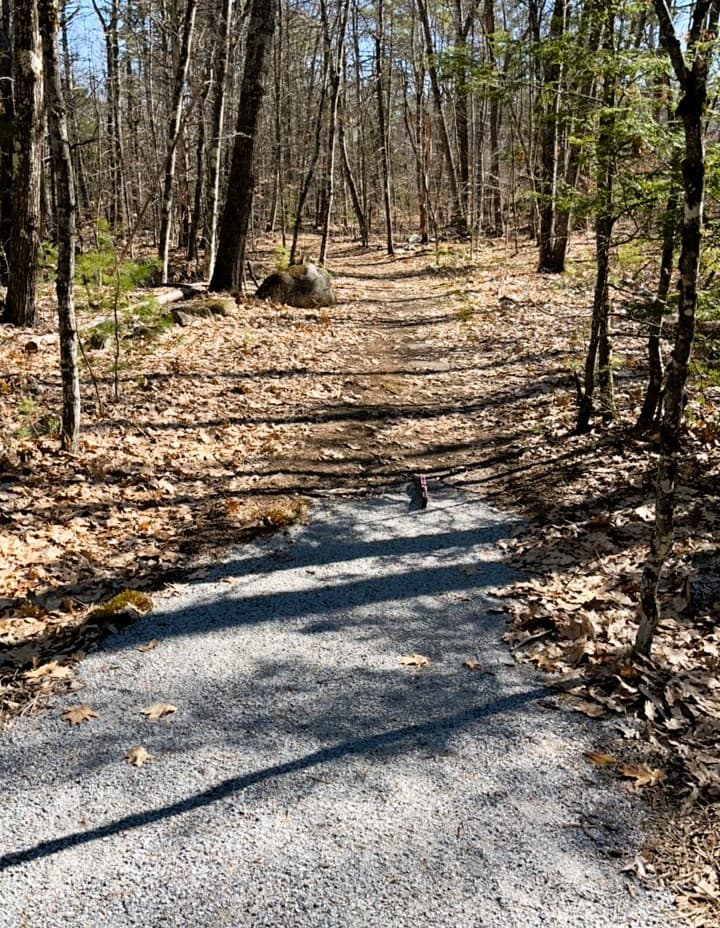
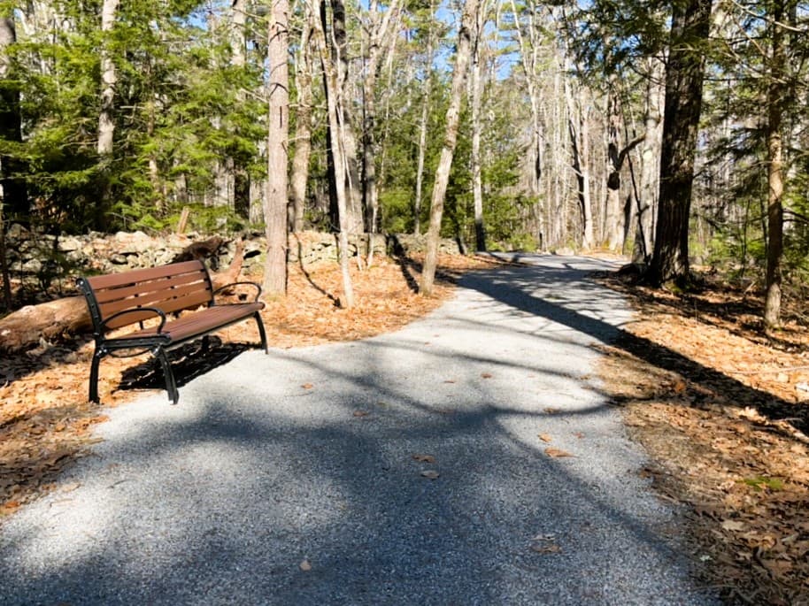
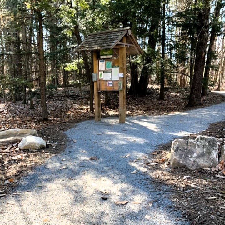
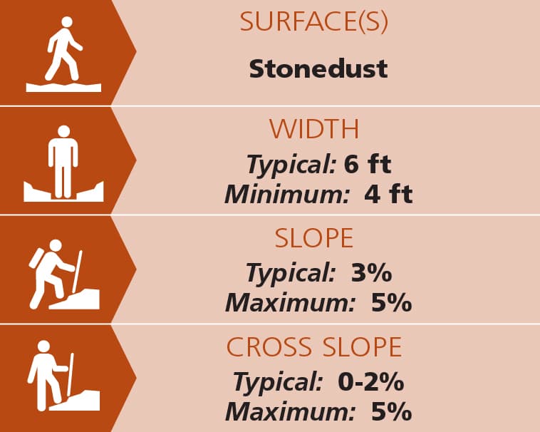
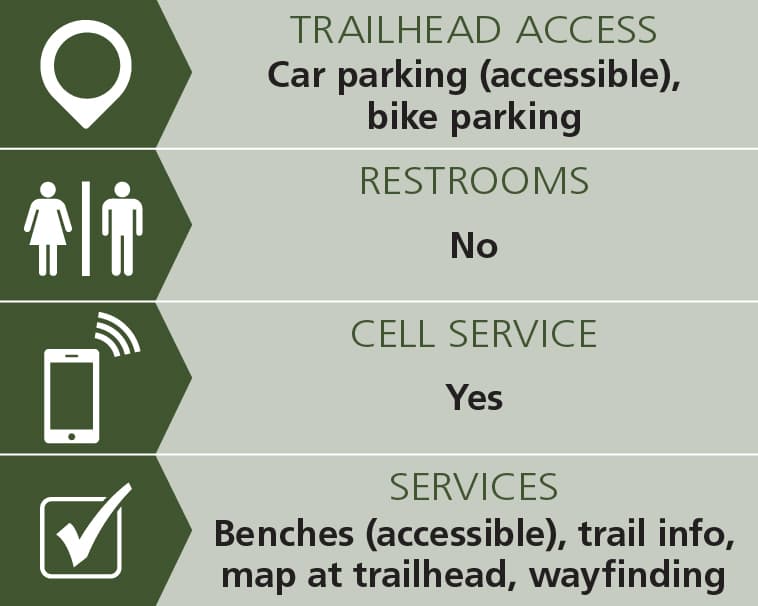
The trails start at the kiosk next to the accessible parking space. The Field Trail heads right and connects up with the Loop Trail creating a highly accessible 0.2 mile loop. See Trail Access Information & Considerations below for more details on this access(ible) experience. This smaller of the two loops of trail is typically 7 feet wide with the narrowest section at 4 four wide. The stonedust treadway is flat, well compacted and generally flat. The typical slope is 3% with cross slope of 0-2%. The steepest section includes 5% slope and a pair of switch backs. Three evenly spaced accessible benches provide rest spots along this loop.
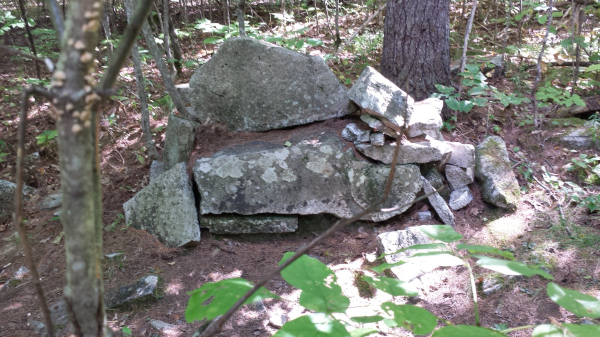
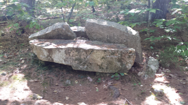
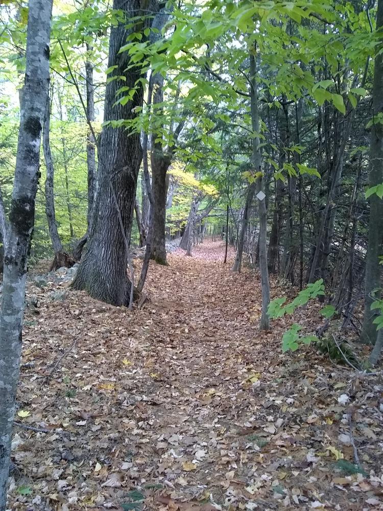
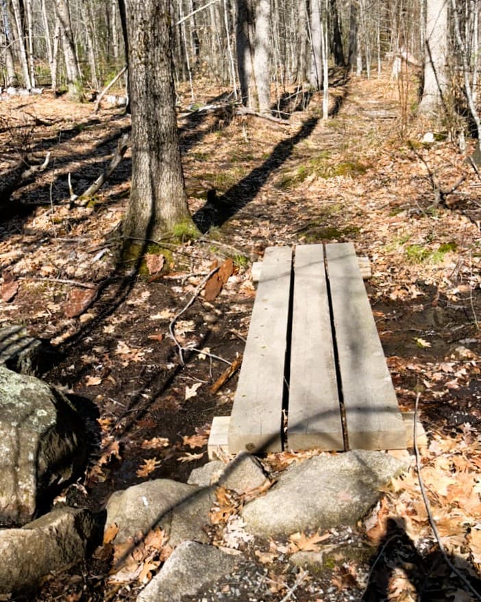
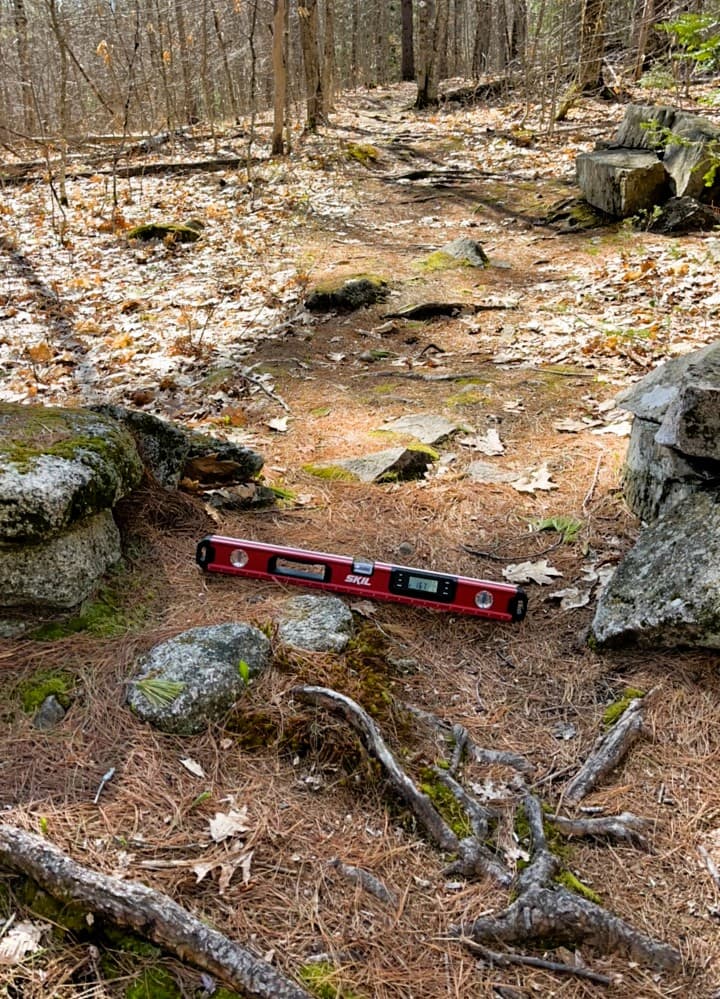
The section of the 0.9 mile Loop Trail that doesn’t overlap with the above accessible trail includes a treadway that varies from 6” to 40”, has many roots and rocks in the treadway and uses bog bridging in wet areas. It includes a downhill slope for a third of a mile. Stone walls and barbed wire fences are evidence of agricultural uses in the last century. You will also see old logging roads and other evidence of past forestry projects.
(Applies to Field Trail loop)
Trail conditions can change without warning. Trail last assessed: 4/25/2026.
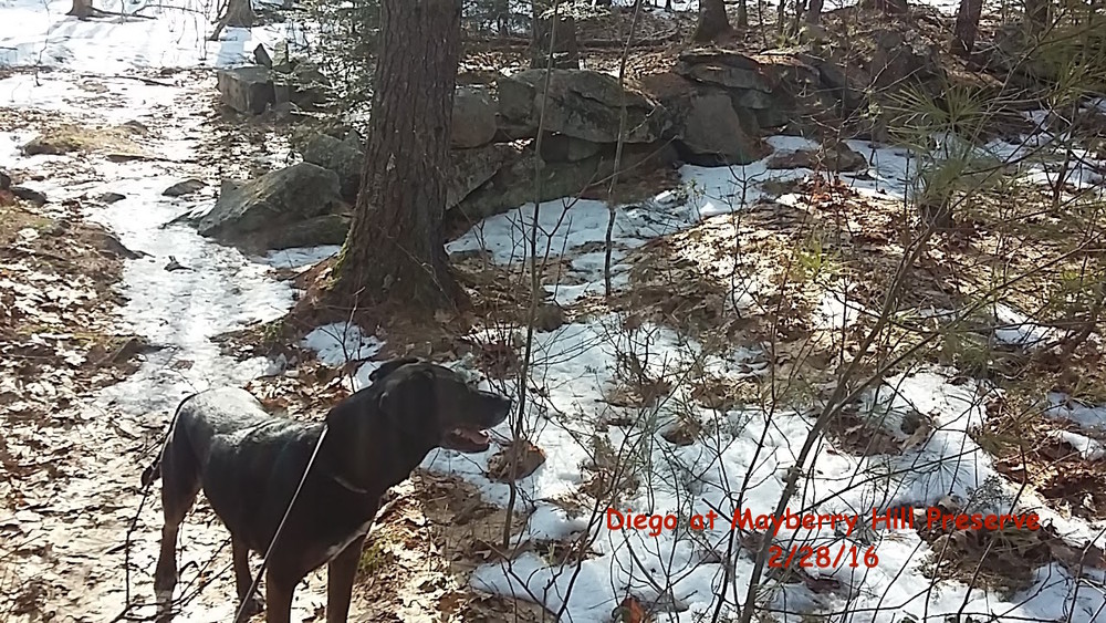
Allowed uses include day hiking, dog walking, snowshoeing, and cross-country skiing. Hunting is allowed in season, so please wear blaze orange October through December.
Use Guidelines:
Visit Loon Echo Land Trust online for more information or contact:
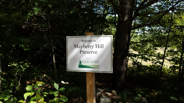
Loon Echo Land TrustFrom US Route 302 in Raymond, turn onto ME Route 121/Meadow Road and proceed for 8.5 miles to Casco Village. Turn right onto Mayberry Hill Road (just after the Village Church). Follow it 1.5 miles and turn left at the top of the Hill to stay on Mayberry Hill Road. The preserve is just over a quarter mile on the right. Vehicles should park along the side of the road at the trailhead, with the wheels well off the roadway. Use caution here, as a blind curve makes it difficult for other motorists to see.
From Naples, take ME Route 11/Poland Springs Road from US 302 for 4.0 miles to ME Route 121; take a left and continue another 1.7 miles to Casco Village. Follow directions above from here.
Success! A new password has been emailed to you.