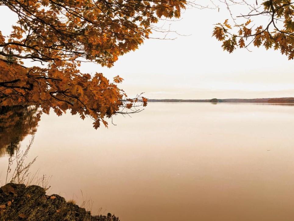
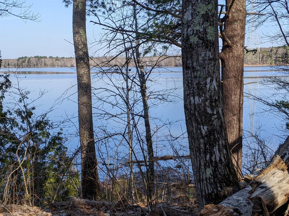
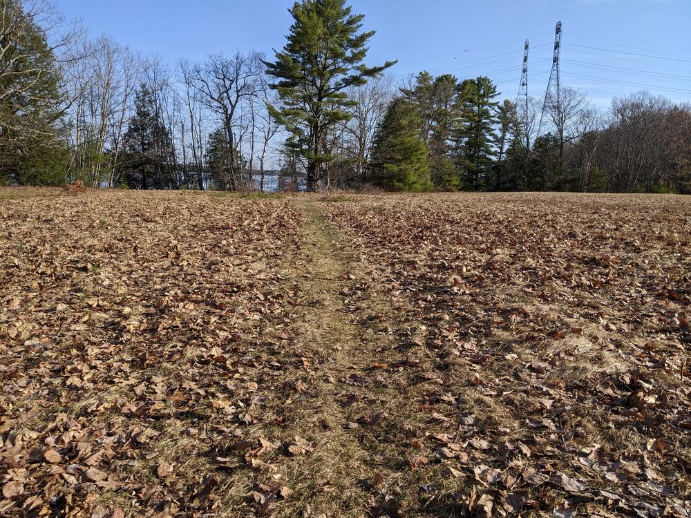
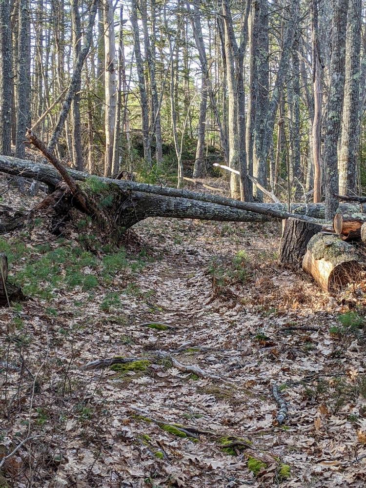
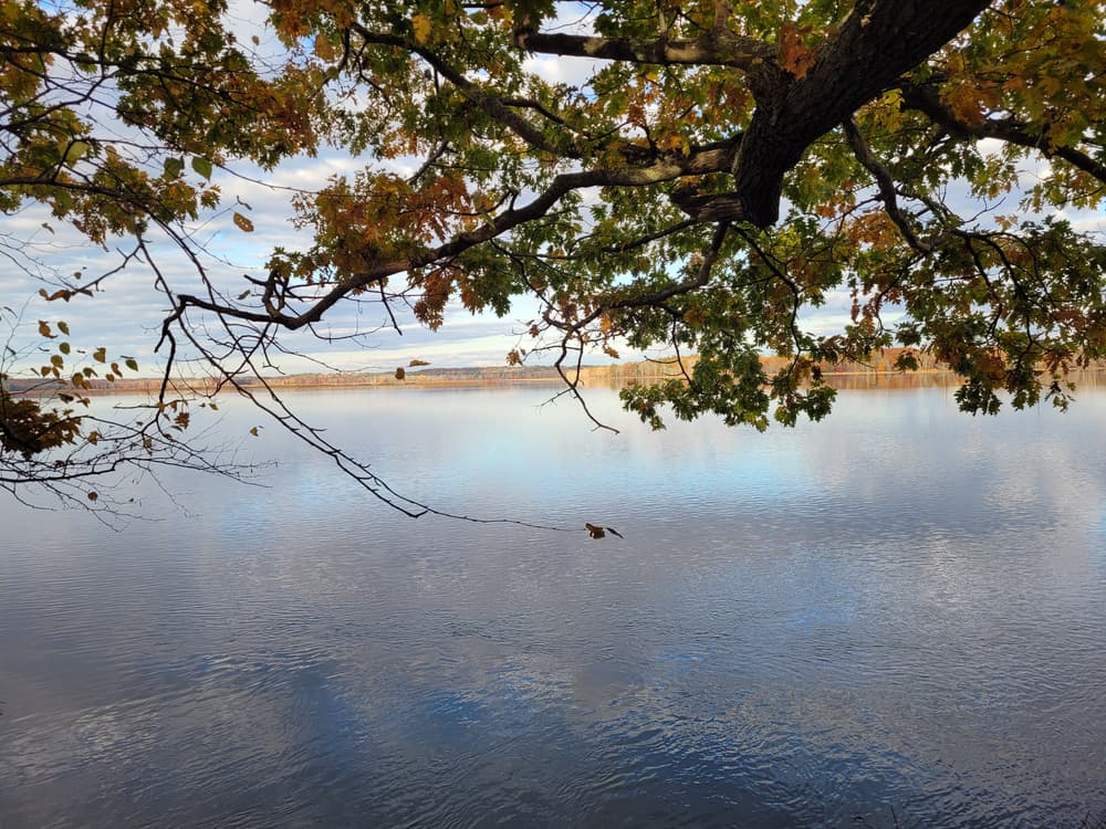
Merrymeeting Fields Preserve is primarily a mixed forest and includes a former farm field which is maintained by the Kennebec Estuary Land Trust for nesting birds and small mammals. It is a wonderful place for bird watching and cross-country skiing. The Preserve also has extensive frontage on Merrymeeting Bay and Chops Creek (no trails access Chops Creek), an area designated as critical habitat by the Maine Natural Areas Program.
The trails are cleared along the old lighthouse road and through the forest to an impressive overlook on Merrymeeting Bay. This historic site provides fine views of the Kennebec River and Abagadasset Wetlands, high value habitat for nesting and migrating birds. Striped bass spawning grounds lie off the Preserve shore.
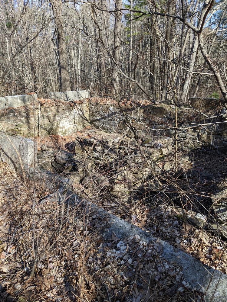
In 2003, the 125-acre preserve was donated to the Trust at the generous bequest of Eleanor B. Burke, long time resident of the property. Mrs. Burke’s will instructed the Trust “to maintain the property’s open space, forests, woodlands, and varied habitats “with no hunting, trapping or motor vehicles to be allowed.” The preserve is open free of charge to the public from dawn to dusk. Help us protect what you have come to enjoy. Natural areas are delicate; foot traffic only, no camping, smoking, fires, or motorized vehicles.
Dogs are not allowed at this property to protect the waterfront bird habitat. Please respect boundary signs and adjoining private property. Enjoy your visit.
Visit Kennebec Estuary Land Trust online for more information or contact:
Kennebec Estuary Land TrustTake US Route 1 North to ME Route 127 (just across Bath bridge). Follow ME Route 127 North to ME Route 128. Follow ME Route 128 about 6 miles to Chopps Point Road, turn left onto the road and continue 0.9 miles to the parking lot and kiosk on right.
Success! A new password has been emailed to you.