Mount Apatite

This is the print view for this trail. View the full trail posting.

Mount Apatite is an extensive network of forested trails that link abandoned quarries, gleaming slag piles, steep ledges, and giant boulders.
Trail Activity
Snowshoeing Mountain-biking Cross-country-skiing Walking Hiking
Length
7.60 miles, Network
Difficulty
Easy, Moderate
Town
Auburn
Surface
Dirt/Forest Floor
Pets
Permitted
Fees
No

Description

HIGH USE TRAIL:

This is a busy trail system, especially on weekends between 9AM-4PM. Consider visiting outside of peak periods. Use Maine Trail Finder to identify other nearby trails. If the parking lot is full when you arrive, please choose another trail.

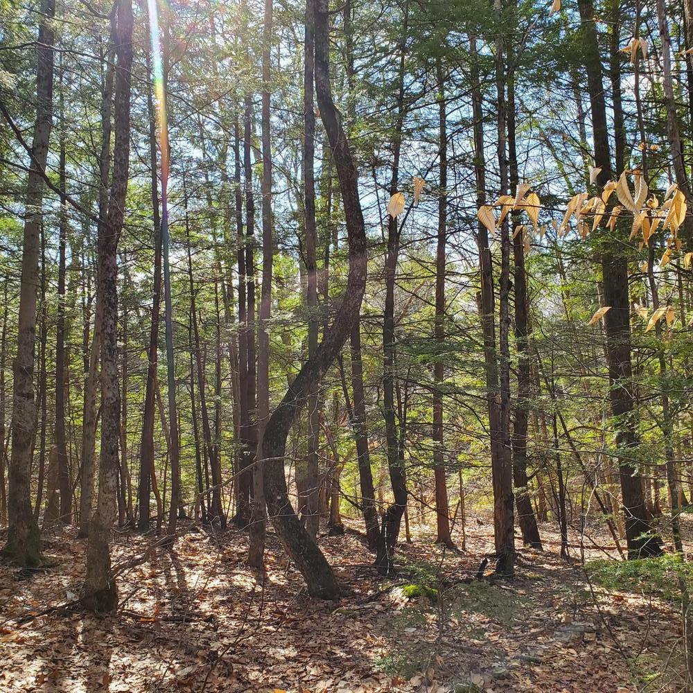
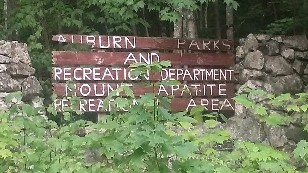
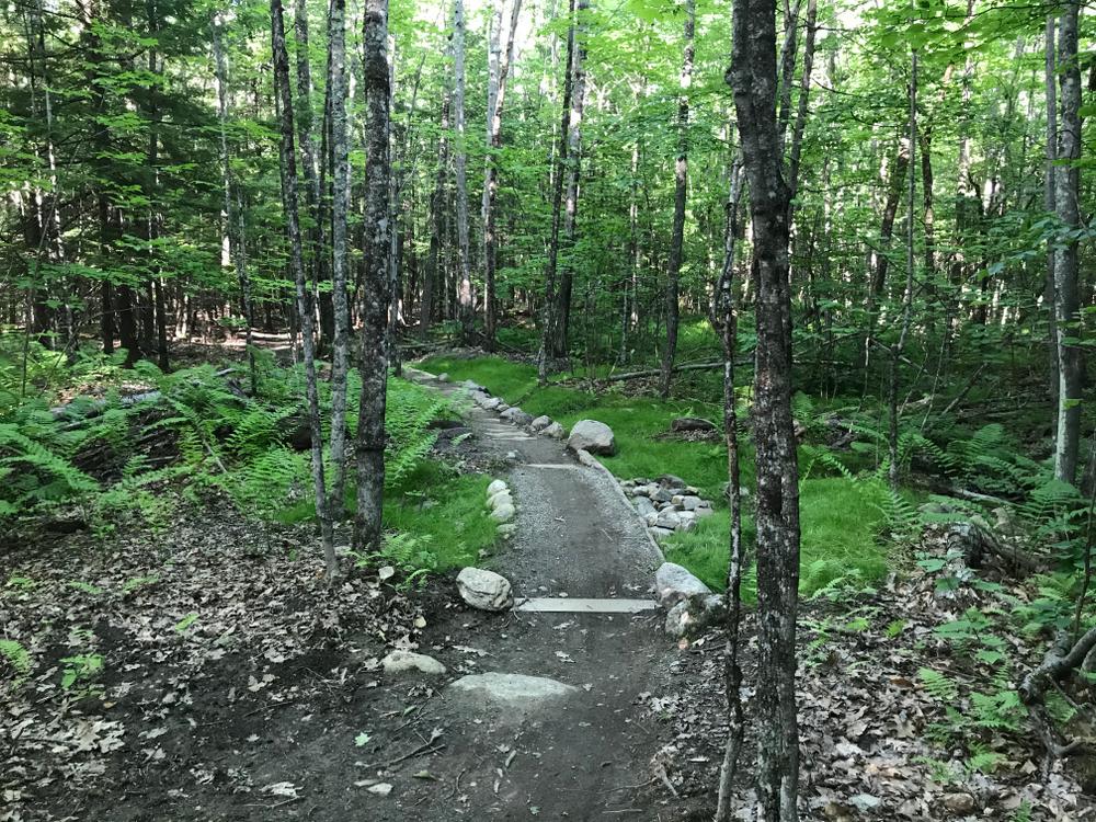
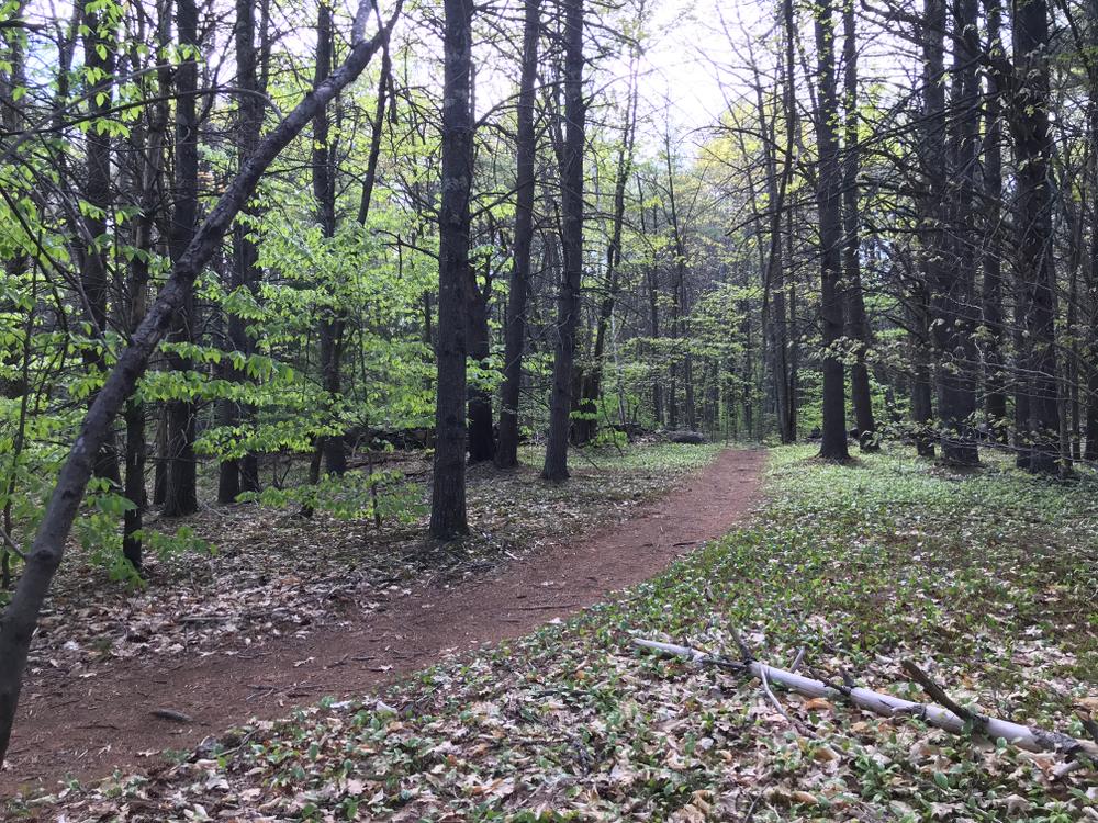
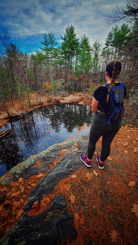
Mount Apatite Park is a three hundred twenty-five acre wooded park located in the western portion of Auburn. The park offers a wide variety of recreational opportunities not often found in municipal park settings.

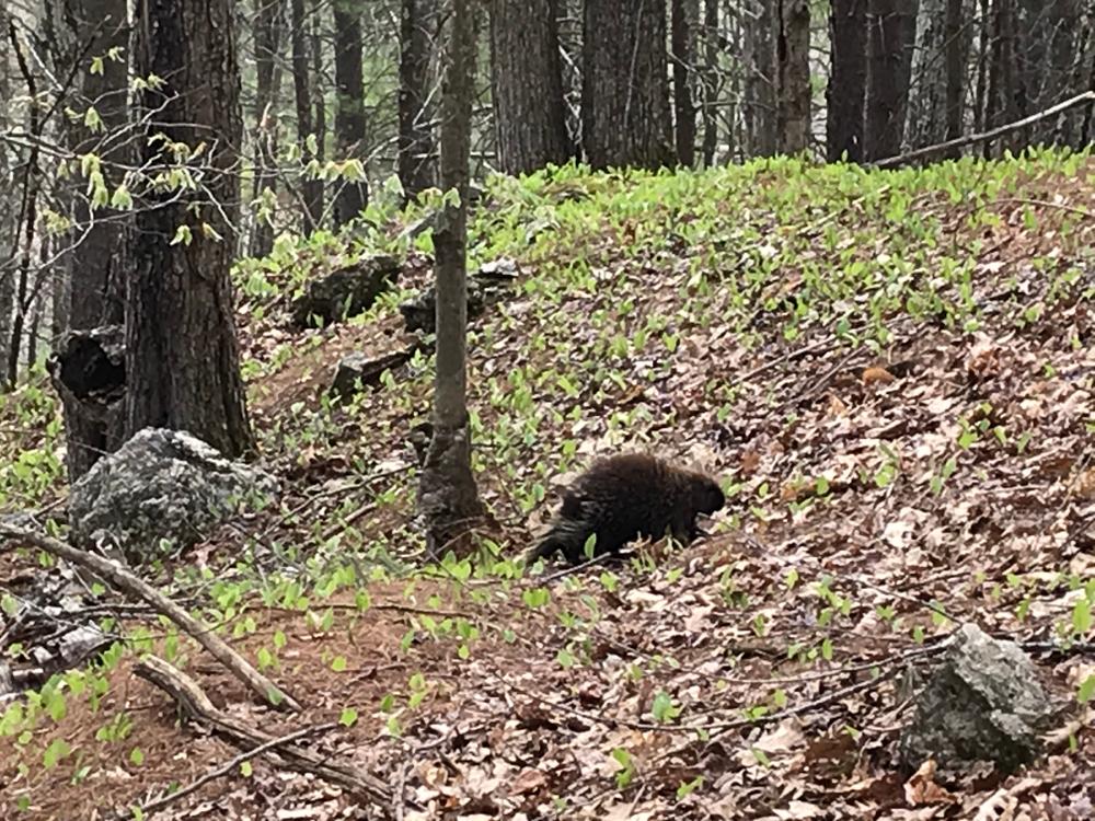
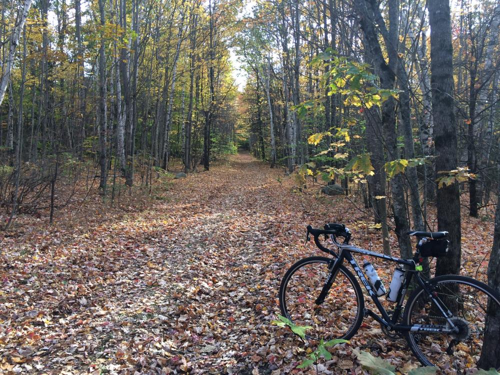
In the winters, the trail is groomed for cross country skiing and snow shoeing. In the spring, summer, and fall, the trails are open to mountain bikers, runners, hikers, and other non-motorized trail users.

Other Information

Rock hunters have known about this area for over one hundred fifty years when the first discoveries of gem-quality tourmaline were found there. Since then, the area has experienced a great deal of mineral exploration, both commercial and amateur. Today amateurs may still search the mine tailings for Apatite, Tourmaline, and Quartz specimens (specific rules apply).

With assistance from a Land and Water Conservation Fund matching grant, five kilometers (3.1 miles) of multi-purpose trails were constructed in the summer of 1994 within the park to serve all outdoor enthusiasts.

Trail Manager

Visit City of Auburn Parks and Recreation or LA Trails, a program of the Androscoggin Land Trust, online for more information or contact:

Androscoggin Land Trust
86 Main Street, Suite 201
PO Box 3145
Auburn, ME 04212
Phone: (207) 782-2302
View website
City of Auburn
Hasty Community Center
48 Pettengill Park Road
Auburn, Maine 04210
Phone: (207) 333-6601
auburnrec@auburnmaine.gov
View website

Nearby Events

VIEW EVENTS CALENDAR

Trail Tips

Leave What You Find
Respect natural resources, cultural and historic items, and wildlife by looking rather than touching.

Trailhead Information

Small Road Trailhead: From ME Routes 11/121/Minot Avenue in Auburn, head right on Hatch Road for 1.5 Miles. Turn right onto Small Road and follow till you see the trailhead at the end of the road.

Army National Guard Trailhead: From ME Routes 11/121/Minot Avenue in Auburn Maine turn right on Garfield Road for 0.5 miles. Turn left onto Stevens Mill Road and park near the baseball fields. The trailhead can be found by walking through the armory to the woods.

Legend
Hide All
Join In on the Fun!
Log in or create an account below to unlock all the great features of Maine trail finder: keep track of trails you want to do, preserve memories of trails you’ve done, earn badges, and more!
Your log in attempt was not successful. Please try again.
    Lost your password? Reset your password
    Don't yet have an account?
    There was an issue with your submission. Please try again.
      * Indicates required field
      Already have an account? Login here
      Enter your username, and we will send you a new, randomly generated password to your email account.
      There was an issue with your submission. Please try again.

        Success! A new password has been emailed to you.

        Log in now

        Please wait…