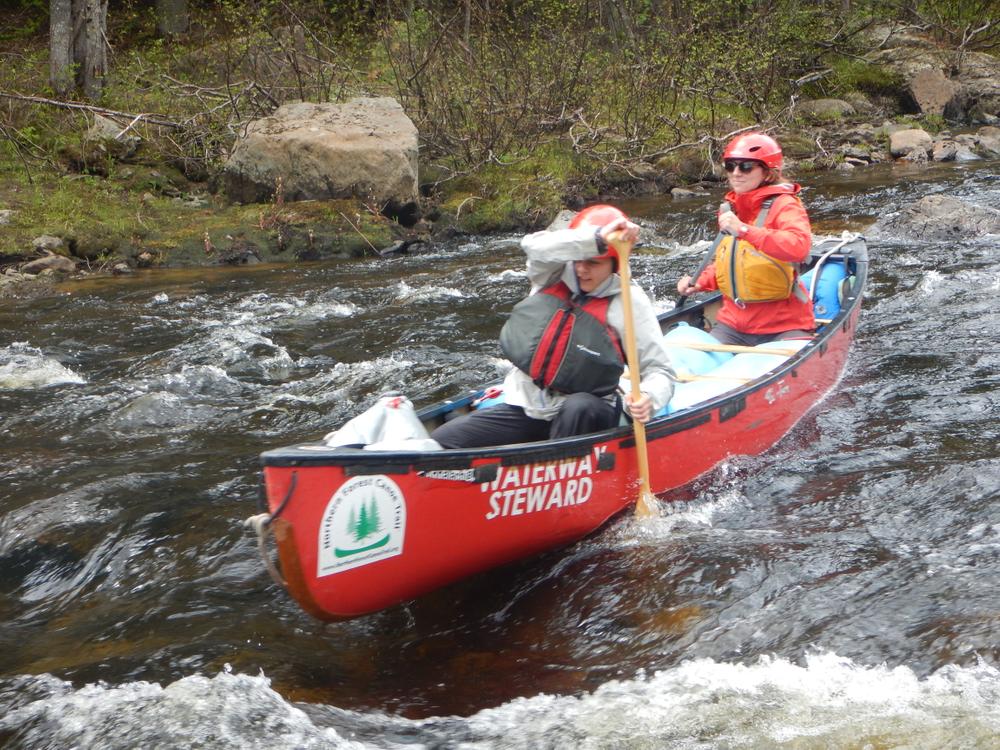
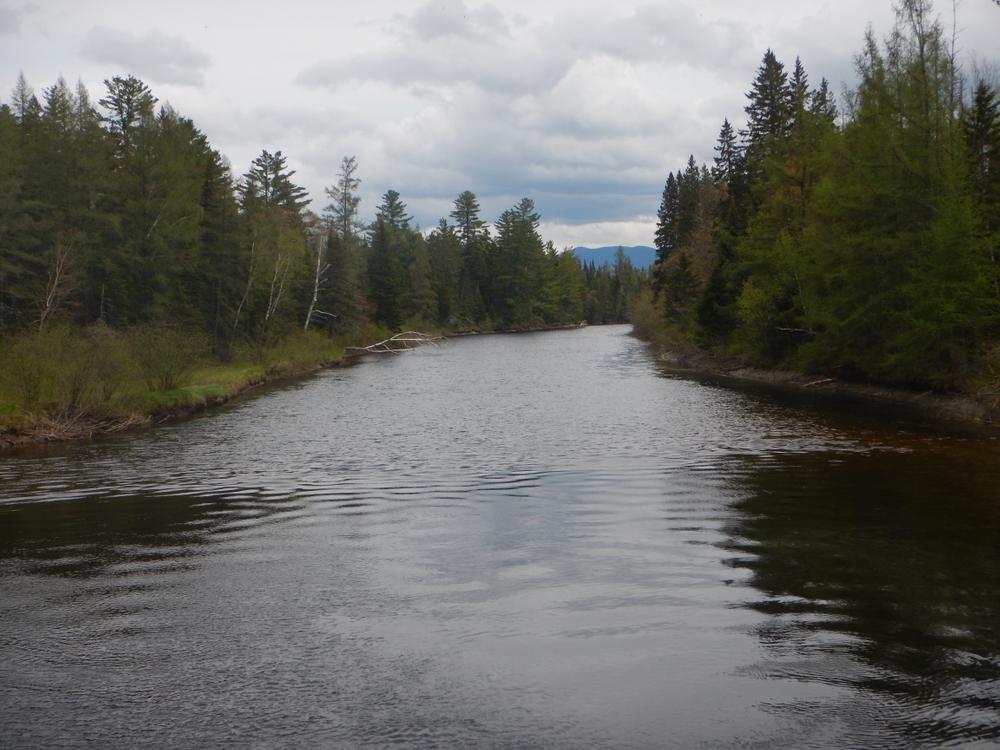
The first three miles of the paddle are mostly flatwater with a few ripples. The final mile of the route features multiple challenging ledge drops. This section is generally runnable in medium to high water (mid-May through June).
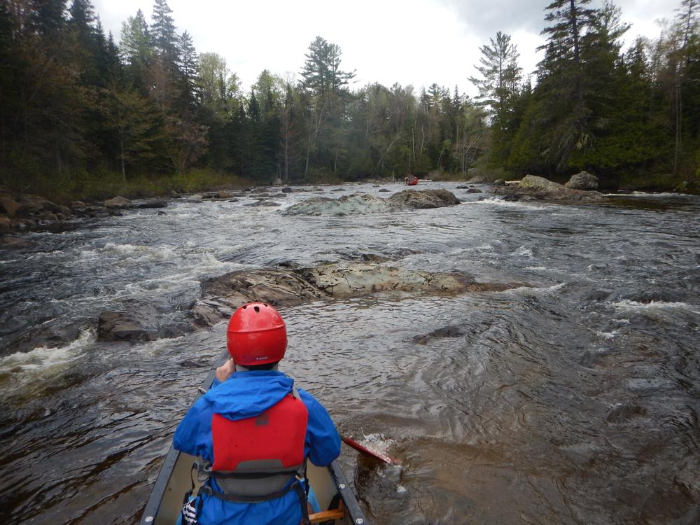
The upper ledge drop is a tight, Class II-III two-part boulder garden with many rocks to avoid. For the first part, which can be scouted from a beach on the left, stay left or center and then move right for the finish. For the second part, which can be scouted from a beach on the right, avoid rocks on left and stay right.
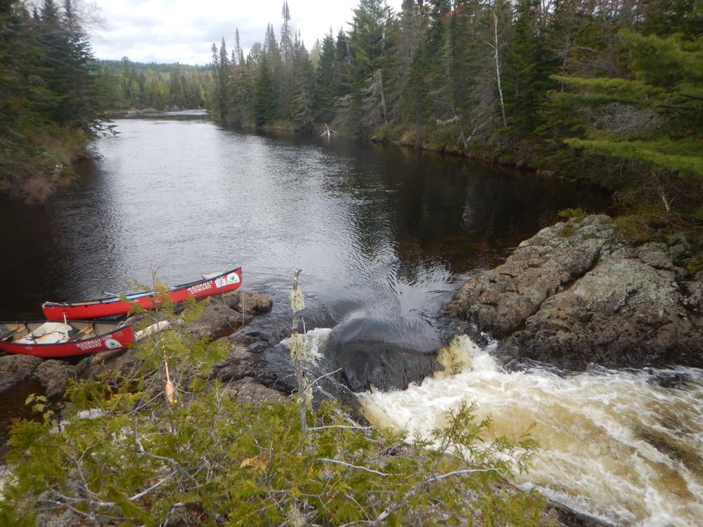
The lower ledge drop is more challenging (Class III) and best to scout in advance. To avoid going through the rapid, it may be best to line along the river left. Rapids start with a large boulder and ledge. There is a rocky landing to scout from before the rapid. Enter the rapid just to the right of the large boulder, then pick your way through ledges before descending a chute on the right. The rapid finishes with a left to right move around exposed ledges. A little less than a mile after the rapids is the take-out point at King and Bartlett Road Bridge on the left of the river.
To extend this paddle, continue on to Flagstaff Lake and take out there or keep paddling further!
A downloadable map of the route is available at the Northern Forest Canoe Trail website (free for members!).
For more information, contact:
Northern Forest Canoe TrailPut-in: Head north on ME-27 from the intersection of ME-27 and ME-16 in Stratton/Eustis. After 7.1 miles, turn right on King and Bartlett Road. Stay left as other dirt roads branch to the right. After about 4.1 miles, there is a pull-off on the left that looks like a small campsite. From the pull-off, you can carry boats to the river. Please note: Google maps incorrectly shows a bridge over the river here.
Take-out: The take-out is at the bridge on King And Bartlett Road. Head north on ME-27 from the intersection of ME-27 and ME-16 in Stratton/Eustis. After 7.1 miles, turn right on King and Bartlett Road. There is a gravel pull-off on the east side of the bridge.
Access to these access points are on bumpy, dirt roads that may require high-clearance vehicles.
Success! A new password has been emailed to you.