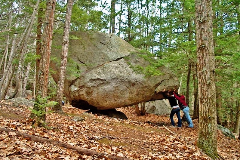
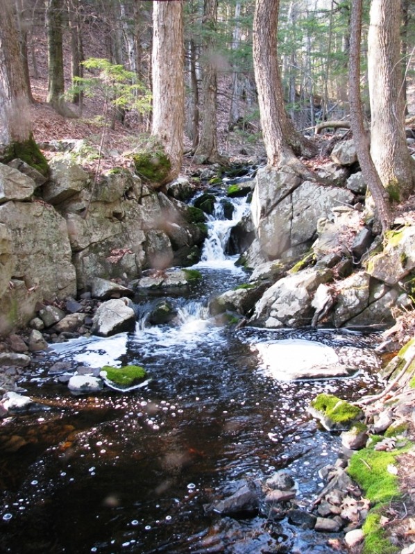
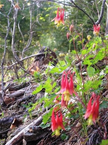
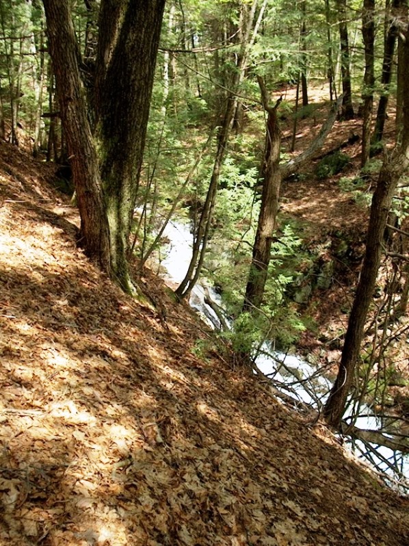
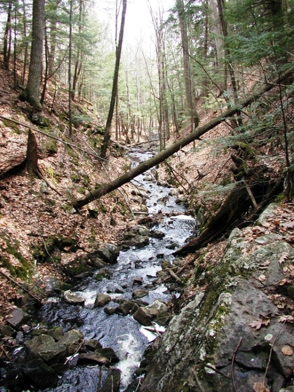
This 171-acre preserve is a rich area of vernal pools and wetlands, ledges and glacial erratic. An old colonial road that existed long ago is now a trail with side excursions to the 90-ft. gorge of Orris Falls, the Big Bump, Balancing Rock, and overlooks with views of Mt. Agamenticus. Stone foundations on the site were the home and barn of Orris and Mercy Littlefield, who lived there in the late 1800s.
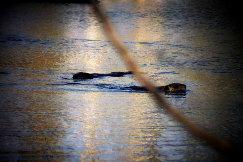
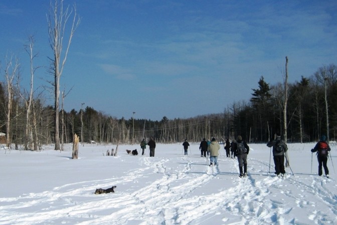
Visitors have a choice of trails ranging from a 1.5 mile round trip to Orris Falls to the 3-mile round trip to Balancing Rock. The gentle climb to Orris Falls and back can be completed in a leisurely hour. In winter, the beaver marsh often freezes over for skating or snowshoeing.
Founded in 1986, Great Works Regional Land Trust is a 501(c)3 non-profit land trust committed to the conservation of the natural, historic, agricultural, forestry, scenic and recreational resources primarily within the towns of North Berwick, South Berwick, Berwick, Eliot, Wells and Ogunquit. To that end we hold conservation easements and property on which these resources are present and we promote the need for conservation through education and related activities.
Prohibited uses: motorized vehicles, overnight camping or fires.
Visit Great Works Regional Land Trust online for more information or contact:
Great Works Regional Land TrustThe main trailhead on Thurrell Road is at a gated woods road, a right-of-way across private land to the conservation area. There is off road parking for three cars.
From South Berwick: Head east on ME Route 4. Bear right onto Agamenticus Road. At Emery’s Bridge Road, stay left on Knights Pond Road for 4 miles. Bear right onto Hooper Sands Road for .25 miles. Turn left onto Great Hill Road and follow to the to end, then left onto Thurrell Road. The trailhead is 0.9 miles on the right.
From North Berwick: Go 1.9 miles south from the railroad tracks (Lower Main Street becomes Boyd’s Corner Road) then right on Thurrell Road. The trailhead is 0.9 miles on the left.
From Ogunquit: Take Berwick Road (from the center of town) as it becomes Ogunquit Road and then Boyd’s Corner Road for a total of 6.8 miles. Then turn left onto Thurrell Road. The trailhead is 0.9 miles on the left.
Success! A new password has been emailed to you.