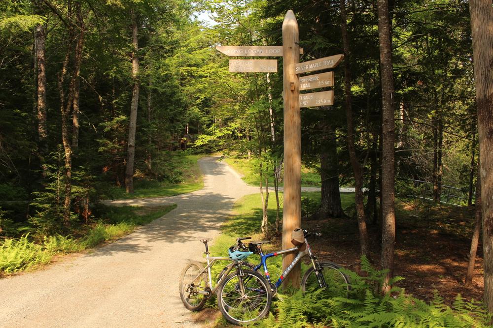
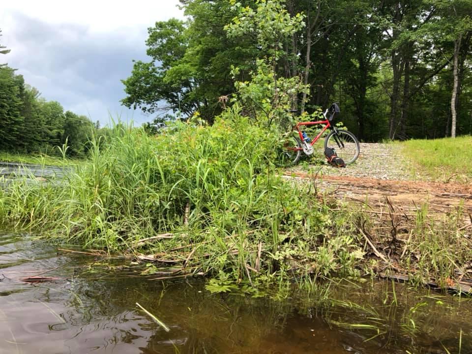
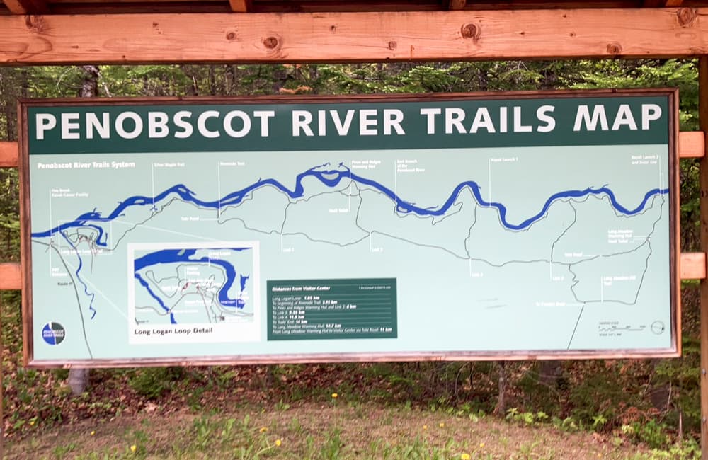
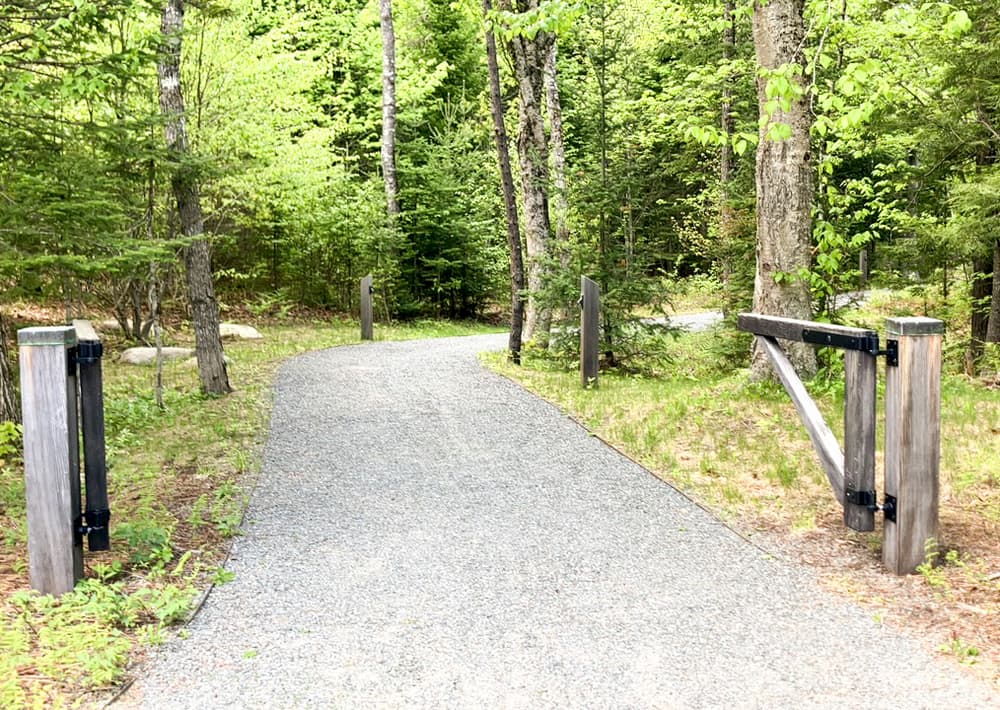
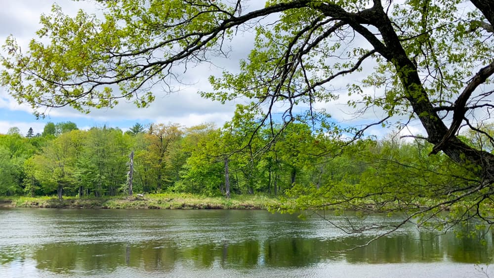
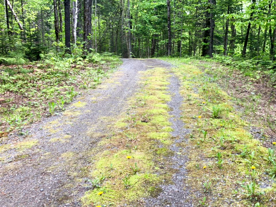
From the trailhead at the Visitor Center, the Silver Maple trail travels through the woods over mostly flat terrain. It crosses various small campus trails for about a half a mile before reaching and following a small side-branch of the river and marshes on the left. The Silver Maple Trail reaches the main river after 1.4 miles, and follows the river along its banks for an additional 0.4 miles before reaching a trail junction. At the junction, the Tote Road goes to the right, and the River Trail goes to the left.
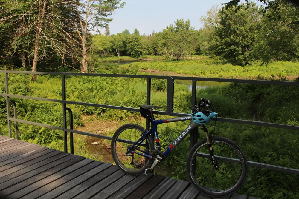
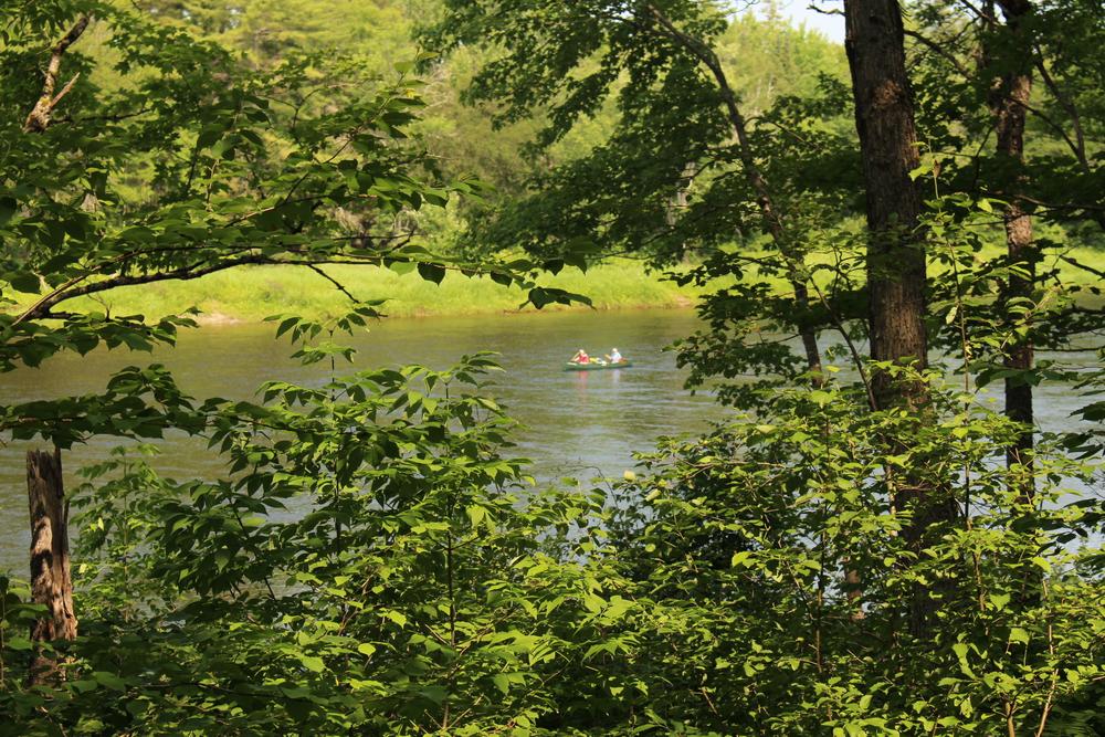
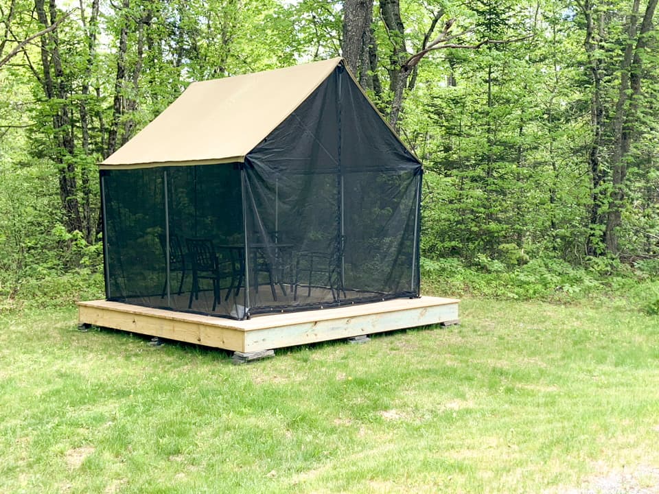
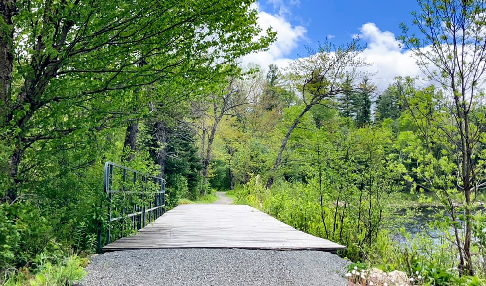
The Riverside Trail follows the banks of the Penobscot River for its entire length of 6.7 miles, offering spectacular view, and occasional crossings over well-constructed bridges. There are Link Trails to the east every mile or two, linking to the Tote Road which parallels the Riverside Trail and heads back to the Silver Maple Trail, allowing bikers to loop back to the trailhead at any time for routes of a variety of distances. The Riverside Trail leads to two huts with vault toilets. The Pine and Ridges hut is located 3.5 miles from the trailhead; the Long Meadow hut, which offers views of Katahdin, is 8.5 miles from the trailhead.
The Tote Road Trail is 5.3 miles in length, and can be used as a return route from the Long Meadow hut back to the junction with the Silver Maple Trail.
At the northern end of the trail network, the Long Meadow Hill Trail offers another 1.9 miles of biking, as an alternative to the Tote Road from the Long Meadow warming hut.
At the southern end of the trail network, the Long Logan Loop circles along the river near the Visitor Center for 1.2 miles of easy biking.
The Tote Road Trail is 5.3 miles in length, and can be used as a return route from the Long Meadow hut back to the junction with the Silver Maple Trail.
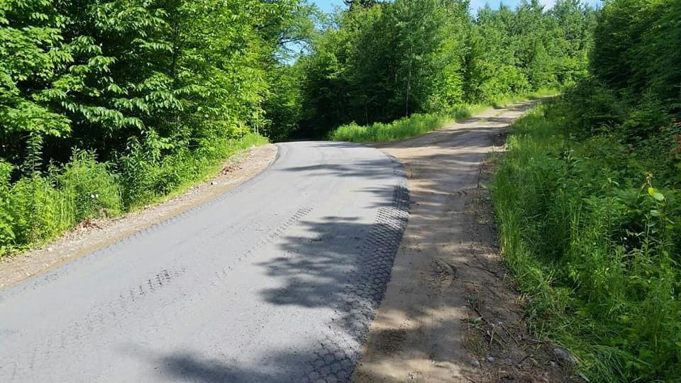
All the trails have a hard-packed surface of crusher dust. The Long Logan Loop, Silver Maple Trail, and Tote Road are more consistently wider, low-gradient trails suitable for and often traversed by strollers, wheelchairs, and those with mobility challenges. These three trails are about 10 feet wide, with typically moderate gradients of 3-5%, and no cross slopes or surface interruptions. See Trail Access Information & Considerations below for more details on these access(ible) experiences.
The rest of the trails have a similar surface but are not necessarily as wide, sometimes narrowing to 6 feet; in some places have grass or moss growing on the surface; and they include more significant slopes, in places over 12%.
The Visitor Center provides restrooms, and a place to prepare for an outing or to rest or snack at the tables and chairs. There is a 3-inch rise to access the Visitor Center.
Read about MTF Accessibility Ambassador Enock Glidden's visit to Penobscot River Trails in his wheelchair at MTF Stories.
(Applies to Long Logan Loop, Silver Maple Trail, and Tote Road)
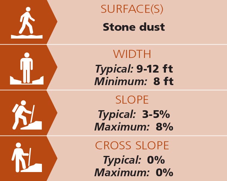
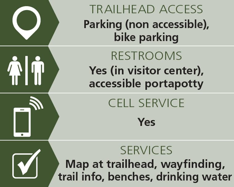
Trail conditions can change without warning. Trail last assessed: 5/29/2026.
Penobscot River Trails is a nature preserve which is privately owned by a family funded Maine registered charitable foundation.
All visitors are required to register at the Visitor Center to use the trails.
For more information, visit the Penobscot River Trails website, or contact:
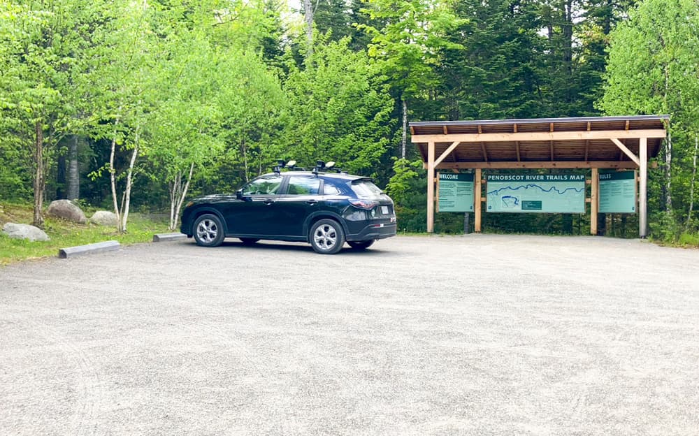
Penobscot River TrailsFrom Bangor, take I-95 north to exit 244 (Medway). Go left at the top of the exit ramp, continue past the Irving gas station, and take the next right onto ME-11. Continue north on ME-11 for 11.9 miles, and turn left after Haybrook. There is a PRT sign at the entrance on the left side of ME-11. Follow the signs for 0.5 miles to the parking lot and Visitor Center.
Success! A new password has been emailed to you.