Sawyer Mountain Trail from Limerick (1.3 miles)
Starting at the rear of the Limerick parking area on Sawyer Mt Road, the Smith trail ascends marked with red turtle signs.
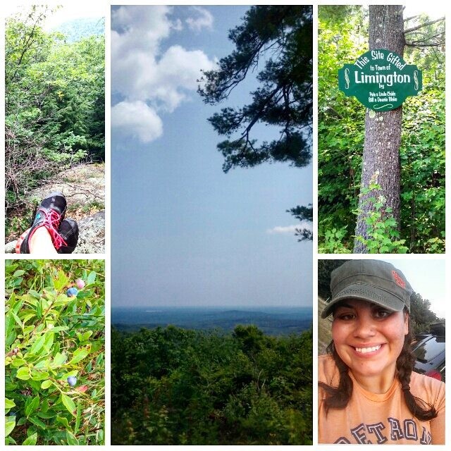
Sawyer Mt Road Trail from Limington (1.8 miles)
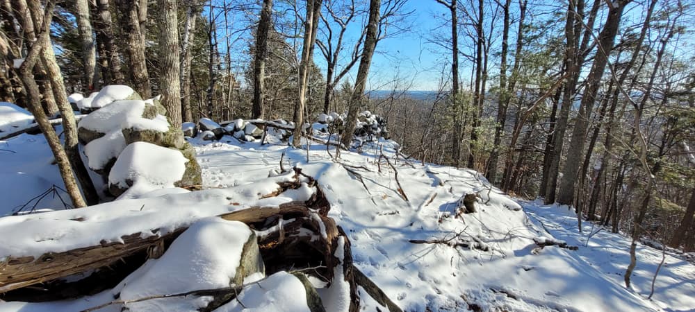
From the parking area on ME-117, the trail (farthest to the right) follows the old discontinued Sawyer Mt Road, marked with red turtles. Just above the Estes Cemetery, the trail continues steeply up a slope, through steep, eroded ravines. Where the old road begins to descend there is a trail to the left leading to the summit.
Sherwood Libby Trail from Limington (2.3 miles to summit)
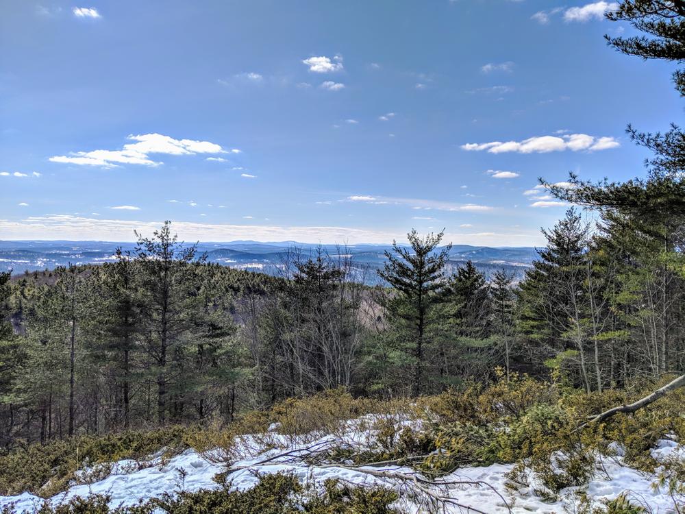
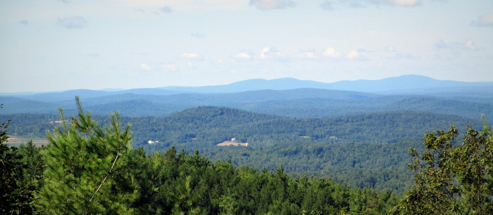
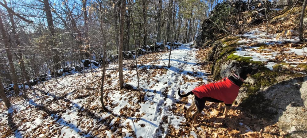
This is considered the nicest route to the summit. Starting at the parking area on ME-117, the trail follows the old Littlefield Pond Road and is marked with orange turtle signs. At 0.4 miles, the trail leaves the road to the right, then continues uphill through forest, crossing a stream, the skirts a grassy area. The trail passes below towering rocky cliffs before ascending stairs constructed by the Maine Conservation Corps. From there, the trail descends slightly through fields and crosses over the New Skidway Road before continuing to the ascent of the mountain.
Nature Trail from Limington (0.7 mile loop)
The Nature Trail, marked with blue turtles, includes a brochure that can be picked up at the start of the trail with information about natural features along the trail.
Gorge Trail (0.7 miles)
The Gorge consists of unique rock formations with sheer cliffs. The trail begins from the Limerick end of Sawyer Mt Road, then turns left onto a small path. Please stay on the trail as you pass by some camps. After the trail crosses a stream, it heads to the right to the head of the Gorge.
Hikers are welcome to leave the trail and explore FSHT property. However if you are leaving the trail, it is easy to get turned around in the many ridges and valleys in this wild area. If you are going to leave the trail, you should bring a map and compass and optionally a GPS device. This remote area is one of the few places where a hiker can still get lost yet be so close to civilization.
FSHT land is surrounded by private property so please be considerate of our neighbors. Hunting is allowed on FSHT lands so dress appropriately during hunting season. Please keep you pet under control as there are many wild animals in the area.
 Natural Heritage Hikes is a project of the Maine Natural Areas Program in partnership with Maine Trail Finder. View the "Sawyer Mountain - Smith Trail" guide online here.

This trail passes through a property that was acquired in part with funds from the Land for Maine’s Future program. For more information about the LMF program and the places it has helped to protect, please visit the LMF webpage.
Visit the Francis Small Heritage Trust online for more information or contact:
Francis Small Heritage TrustLimerick Trailhead: From ME Route 11 in Limerick, turn on to the Emery Corner Road from near the mill. Follow the Emery Corner Road for 2 miles until it ends at the Sawyer Mountain Road. Turn left on the Sawyer Mountain Road and follow it for 1.1 miles down and up hills to the parking lot which is on the right hand side of the road. Past the parking area, the Sawyer Mountain Road rapidly becomes impassible to vehicles.
Limington Trailhead: The trailhead and parking area are located on the west side of ME Route 117 at a sharp turn in the highway. The trailhead is located 2.5 miles south of the junction of ME Routes 25 and 117. The trailhead is located 2.4 miles north of the junction of ME Routes 11 and 117.
Success! A new password has been emailed to you.