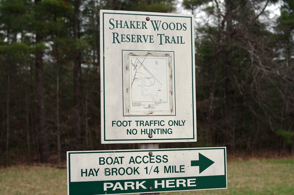
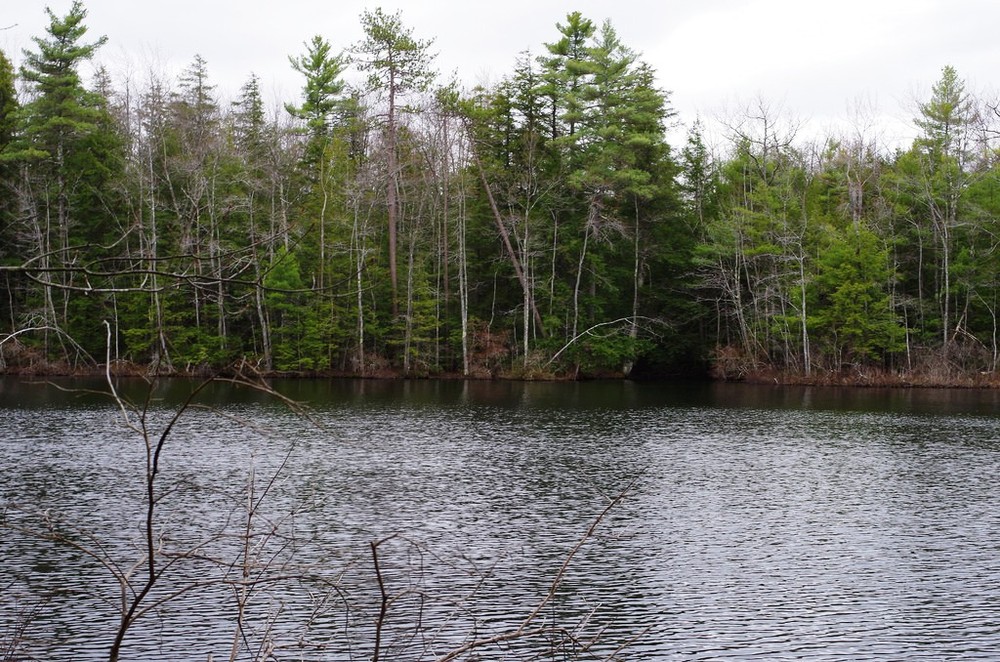
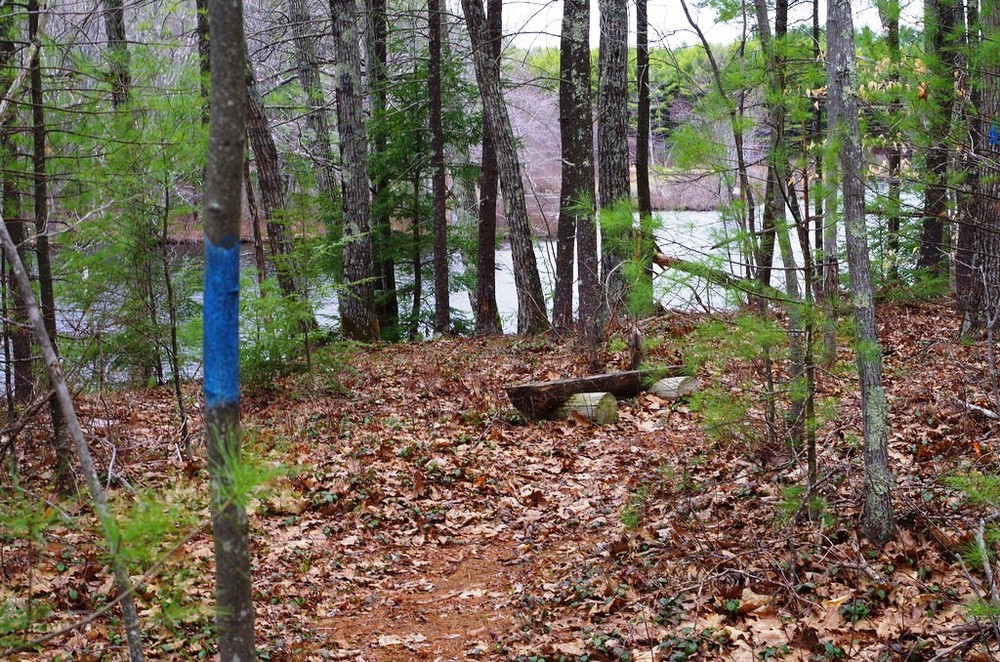
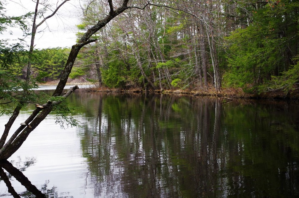
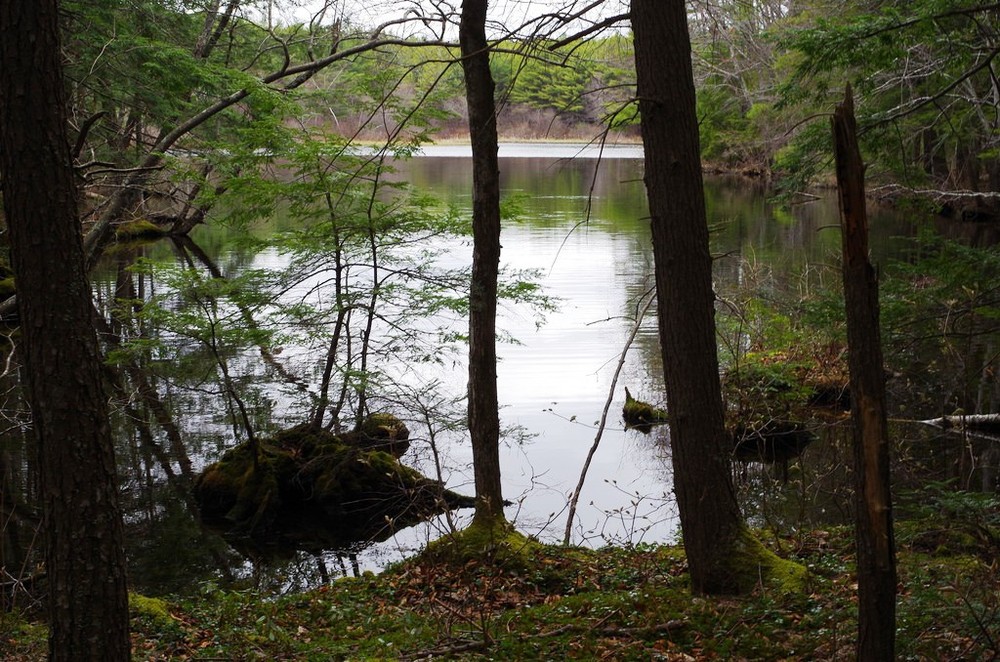
The Shaker Woods Reserve Trail is an easy 2-mile round trip hike that passes by Hay Brook and the Middle branch of the Mousam River. The trail can also be used as a connector for people to combine a canoe trip on the Mousam River and Estes Lake with a hike on the Shaker Woods trail.
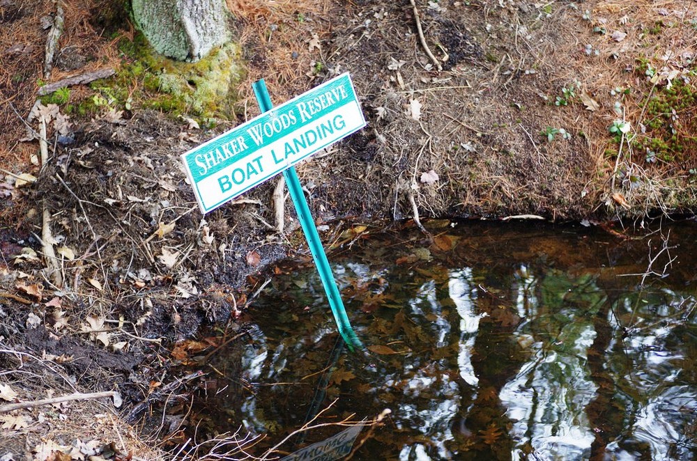
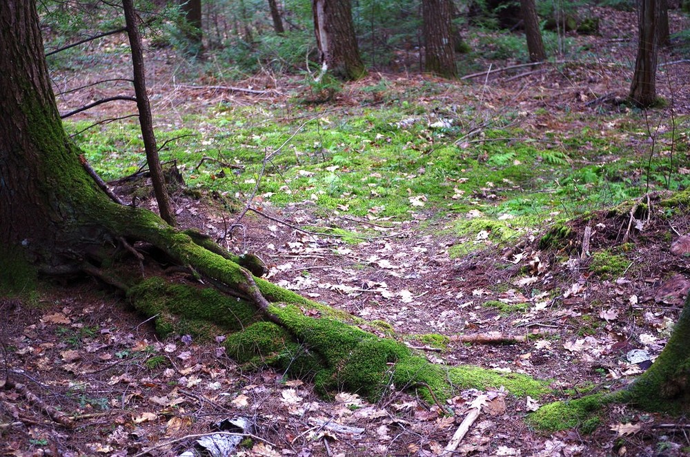
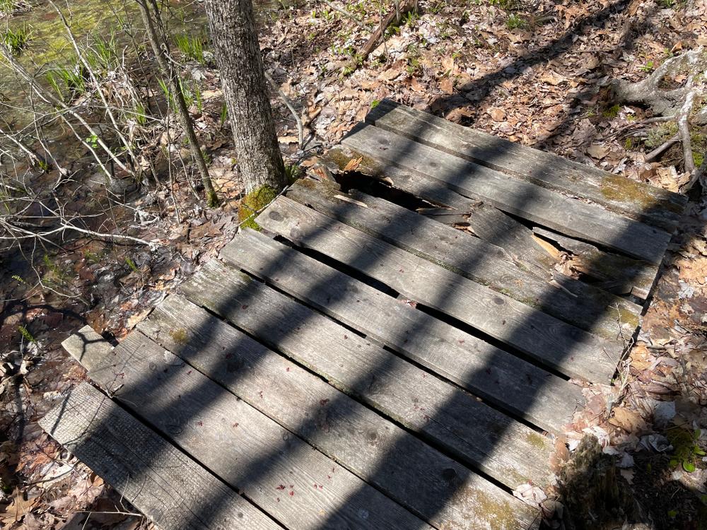
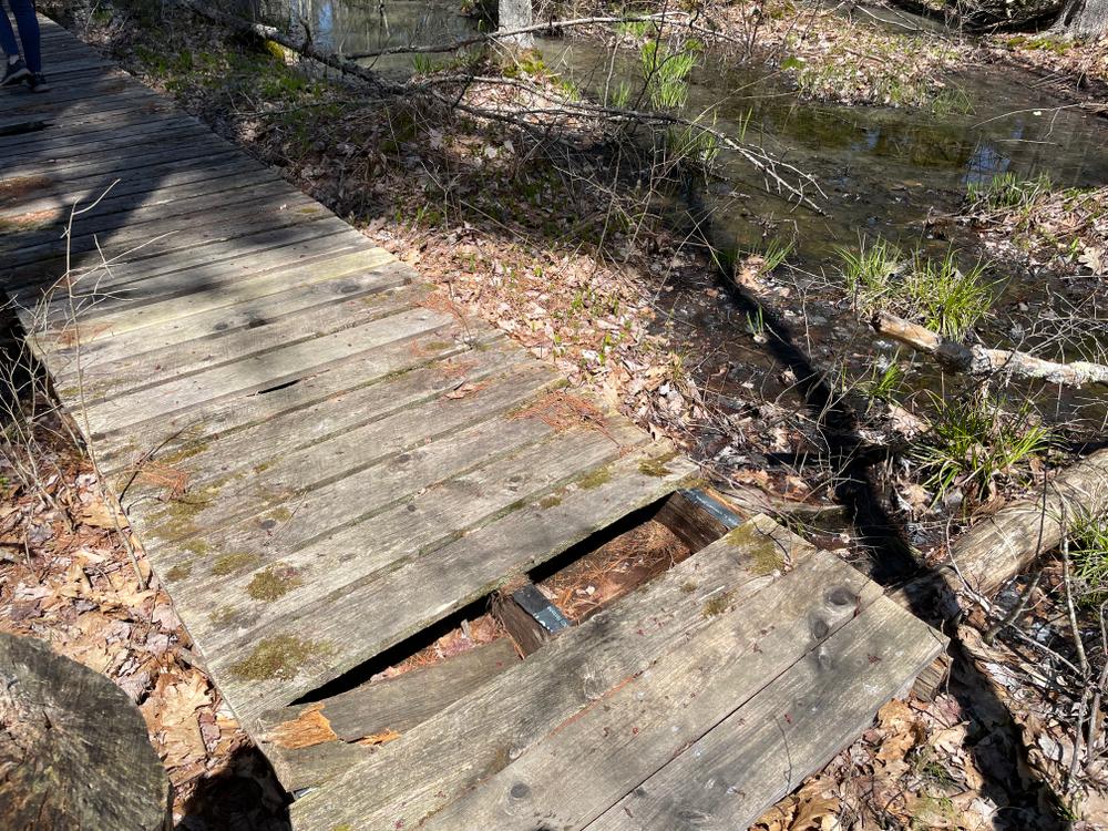
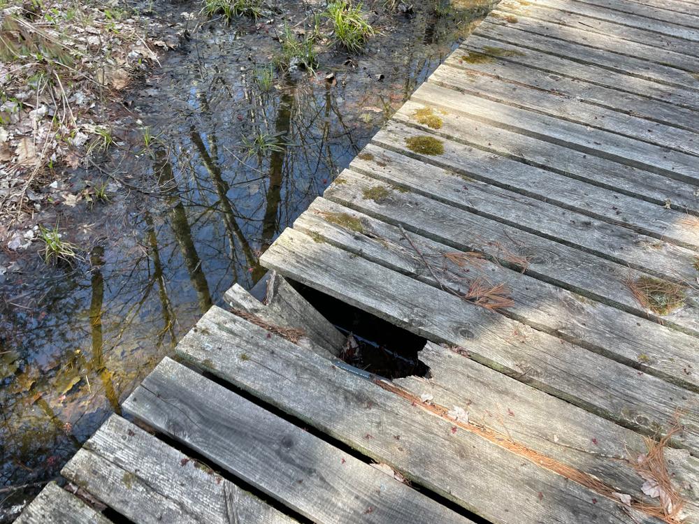
The trail starts off with a gentle slope to a pine forest with a boardwalk over swampy wetlands. The trail merges with an old skid road for a short distance which borders a nearby housing development and then enters a quiet forest. After a short walk, the trail reaches the start of the loop. Hikers can go in either direction. The left trail takes you to a canoe landing where canoeists can leave a canoe and hike the loop. The trail continues and provides several side walks that bring you to the Hay Brook. The loop continues and returns to the split. A short hike takes you back to the parking area.
The parking lot also serves a small public boat launch into Hay Brook. The launch is on Stone Road, 0.25 miles past the parking lot, on the left. No motor boats are permitted.
Visit Three Rivers Land Trust online for more information or contact:
Three Rivers Land TrustShaker Woods Reserve Trail is located in Alfred.
From the north, take Exit 32 on the turnpike in Biddeford and follow ME-111 west to Alfred, until it ends at the intersection of US-202 and ME-4. Make a left on ME-4 and drive approximately one mile. Turn left at Stone Road, follow Stone road for approximately one-half mile. Trailhead parking is on your left.
From the south and east, take Exit 19 on the turnpike, and turn right onto ME-109. Follow ME-109 for approximately 7 miles to Sanford. At the rotary/roundabout turn right to go north on ME-4, and follow for approximately 4 miles. Turn right onto Stone Road; the trailhead parking is a half-mile on your left.
Success! A new password has been emailed to you.